Birch Grove

Wood, Forest in Essex Colchester

England

Birch Grove

Haye Lane, Abberton A lane north of the village of Abberton.
Haye Lane, Abberton Credit: Trevor Harris

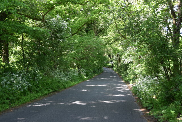
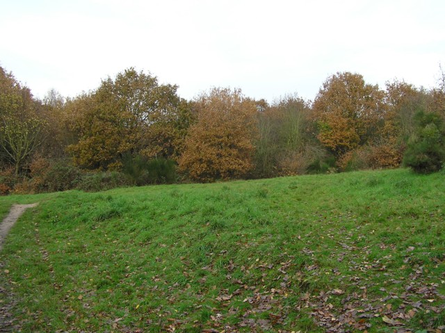
Birch Grove, located in Essex, is a picturesque woodland area known for its abundant birch trees. This natural forest, also referred to as Birch Wood or Birch Forest, covers a significant area within the county, offering a peaceful retreat for both locals and visitors alike.

The woodland is characterized by its dense canopy of birch trees, which create a unique and serene atmosphere. These trees, with their distinctive white bark and delicate leaves, provide a stunning backdrop throughout the year. In spring, the forest comes alive with vibrant green foliage and the sweet scent of blossoming flowers. During autumn, the leaves transform into a kaleidoscope of warm hues, creating a breathtaking display.

Birch Grove is home to a diverse range of wildlife, making it a haven for nature enthusiasts. Visitors may spot various species of birds, such as woodpeckers, owls, and thrushes, along with small mammals like squirrels and rabbits. The forest floor is also rich in flora, with carpets of bluebells, primroses, and ferns adding to the natural beauty.

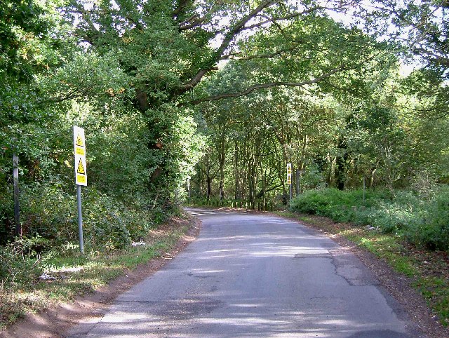
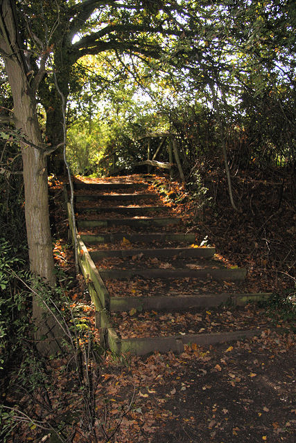
The woodland offers several walking trails, allowing visitors to explore its hidden treasures while enjoying the tranquil atmosphere. These paths wind through the forest, leading to open clearings and small streams that further enhance the enchanting ambiance. Birch Grove also features picnic areas and designated spots for camping, providing opportunities for relaxation and overnight stays amidst nature.

In conclusion, Birch Grove in Essex is a captivating woodland area, renowned for its dense population of birch trees and the diverse ecosystem it supports. Its natural beauty and peaceful surroundings make it an ideal destination for nature lovers and those seeking a break from the hustle and bustle of everyday life.

If you have any feedback on the listing, please let us know in the comments section below.
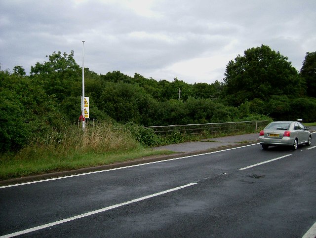
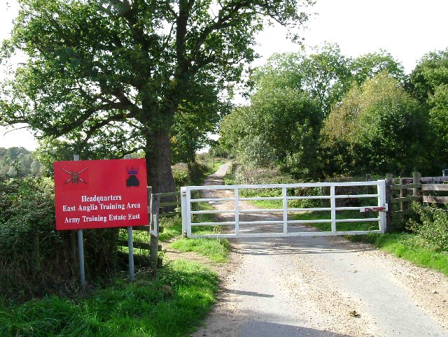
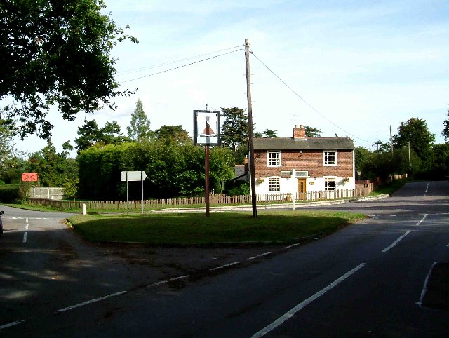
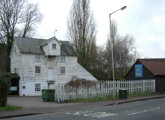
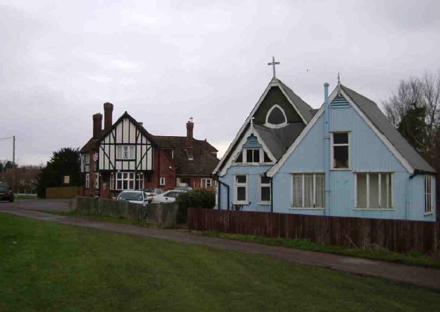
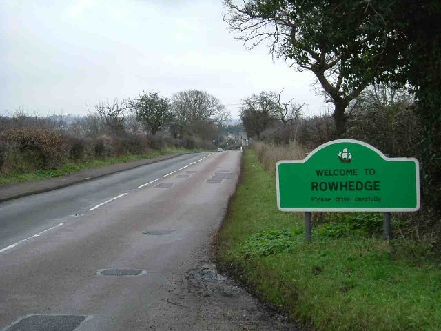
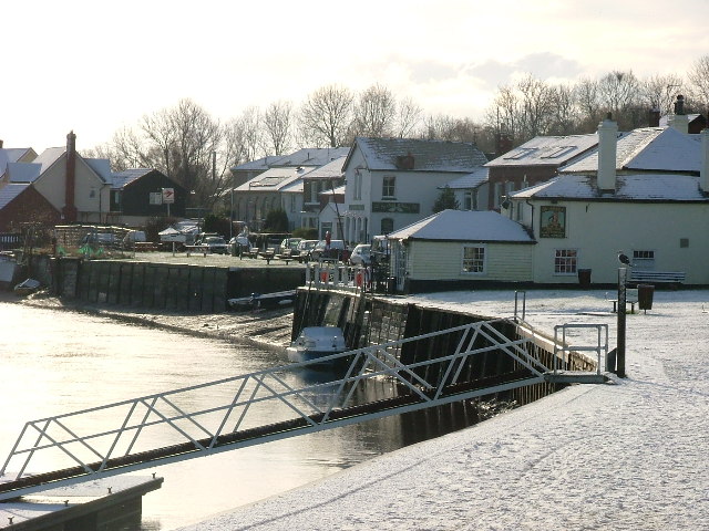
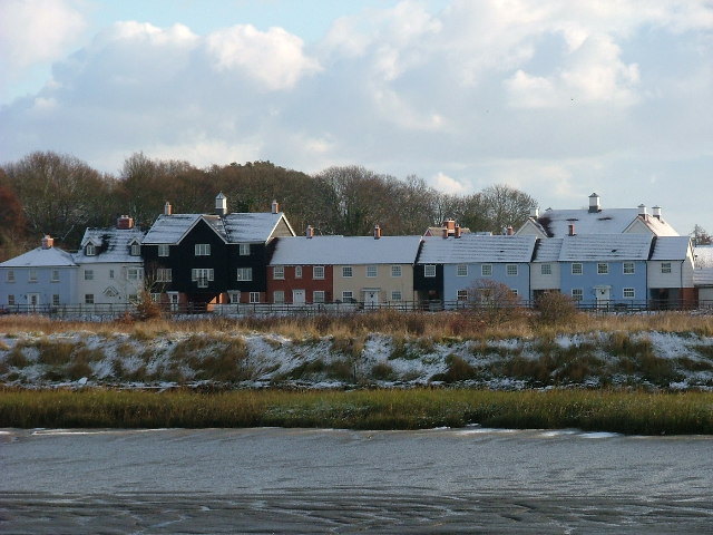
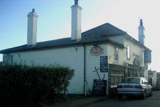
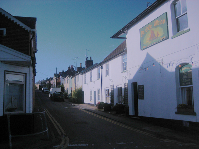
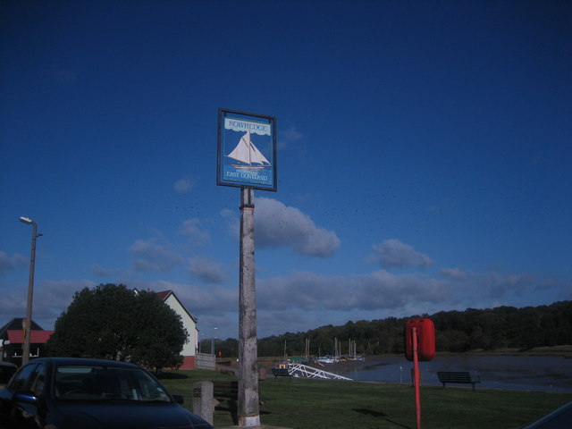
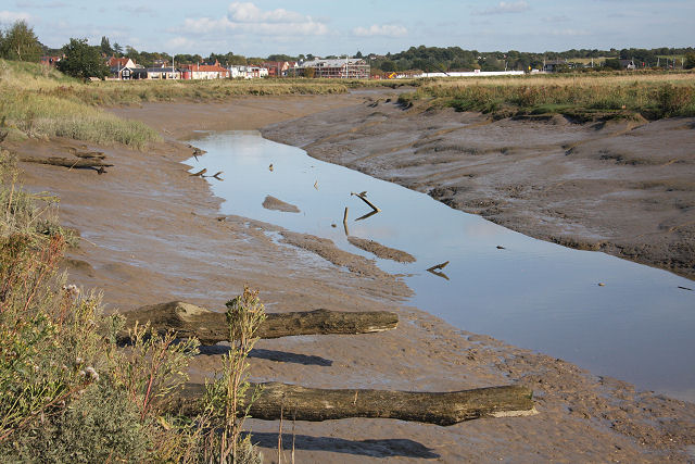
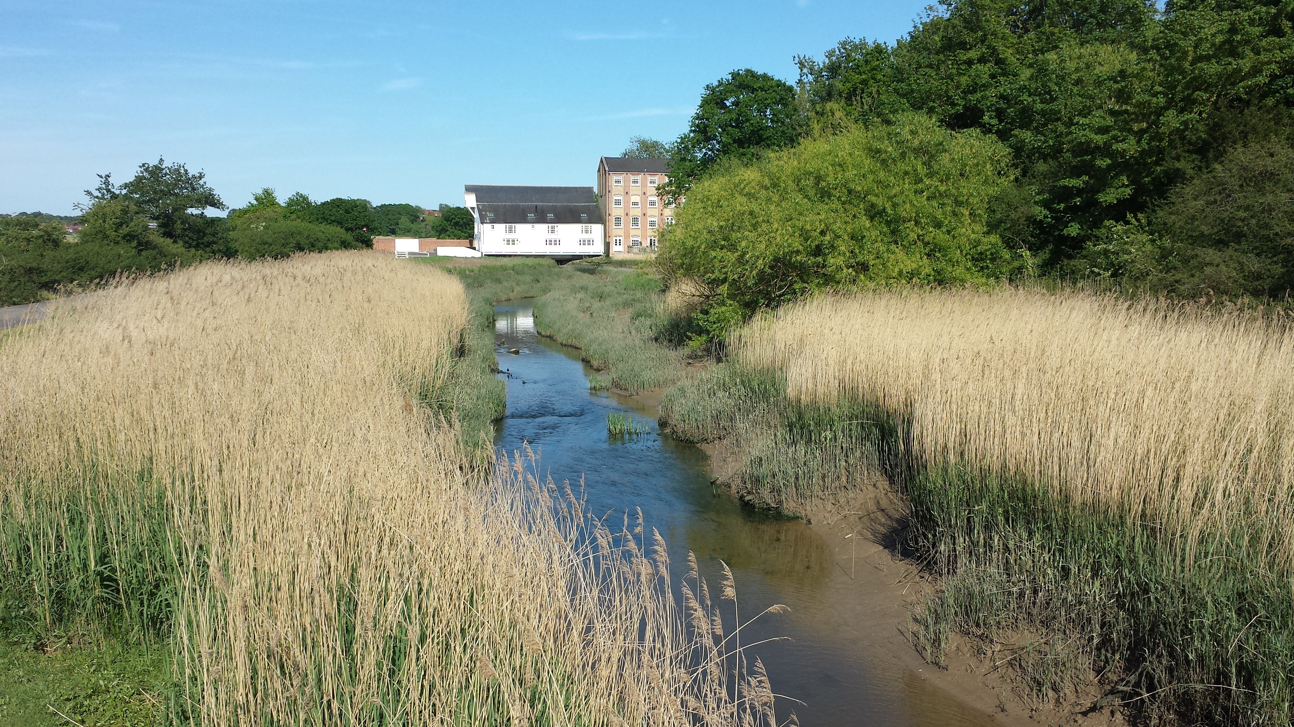
Birch Grove Images

Images are sourced within 2km of 51.86025/0.92709839 or Grid Reference TM0122. Thanks to Geograph Open Source API. All images are credited.

Haye Lane, Abberton A lane north of the village of Abberton.
Haye Lane, Abberton
A lane north of the village of Abberton.
Rowhedge Quay The quay on the River Colne is no longer in use. The photo was taken from Wivenhoe, on the opposite bank.
Rowhedge Quay
The quay on the River Colne is no longer in use. The photo was taken from Wivenhoe, on the opposite bank.
Rose Cottages Located in Blackheath Colchester, 80 & 82 Blackheath, the middle two houses were the original Rose Cottage built in 1882 as farm labourers cottages. All mod cons included a brick built outside bake/wash house and earth closet. There was a slate roofed wooden stable block at the rear of the property. Not much more than 100 years later the outbuildings were demolished and the semi-detached house was turned into a terrace with flying freehold’s to allow access to a car park at the rear.
Rose Cottages
Located in Blackheath Colchester, 80 & 82 Blackheath, the middle two houses were the original Rose Cottage built in 1882 as farm labourers cottages. All mod cons included a brick built outside bake/wash house and earth closet. There was a slate roofed wooden stable block at the rear of the property. Not much more than 100 years later the outbuildings were demolished and the semi-detached house was turned into a terrace with flying freehold’s to allow access to a car park at the rear.
Middlewick Rifle Range The rifle range and butts date originally from around the time of the 1st world war. The danger area behind the butts has preserved countryside that would almost certainly been developed for housing
Middlewick Rifle Range
The rifle range and butts date originally from around the time of the 1st world war. The danger area behind the butts has preserved countryside that would almost certainly been developed for housing
Flagpole by Manwood Bridge The flagpole flies a red flag when the middlewick range <a href="https://www.geograph.org.uk/gridref/TM0022">TM0022</a> is in use. Enter the woods at your peril. Manwood bridge carries the B1025  over Roman River.
Flagpole by Manwood Bridge
The flagpole flies a red flag when the middlewick range TM0022 is in use. Enter the woods at your peril. Manwood bridge carries the B1025 over Roman River.
Ball farm Bridleway This is a Bridleway across Ball Farm. The metalled road surface is provided courtesy of the Army. The photo was taken looking west. The other end of the path can be seen at <a href="https://www.geograph.org.uk/gridref/TL9920">TL9920</a>.
Ball farm Bridleway
This is a Bridleway across Ball Farm. The metalled road surface is provided courtesy of the Army. The photo was taken looking west. The other end of the path can be seen at TL9920.
Weir Lane Weir Lane runs from the B1025 Near Blackheath Colchester to Donnyland Heath near Rowhedge. The lane passes through the danger area of the Middlewick Rifle Range <a href="https://www.geograph.org.uk/gridref/TM0022">TM0022</a>. When the range is in use the road is closed with gates at each end. The yellow signs beside the footpath fingerposts warn of the fatal consequences of interfering with any military debris you may find on the army’s grounds. The picture was taken looking towards Rowhedge.
Weir Lane
Weir Lane runs from the B1025 Near Blackheath Colchester to Donnyland Heath near Rowhedge. The lane passes through the danger area of the Middlewick Rifle Range TM0022. When the range is in use the road is closed with gates at each end. The yellow signs beside the footpath fingerposts warn of the fatal consequences of interfering with any military debris you may find on the army’s grounds. The picture was taken looking towards Rowhedge.
Not the Ipswich Arms This is a picture of the junction of the Fingeringhoe Rd (left to right) with Weir lane (photographers position) and Rectory Road Rowhedge (in front). The building was originally a Daniels Brewery Ale House, “The Ipswich Arms” this became a Truman pub. After a long period of closure the real ale revival of the early eighties enabled it to re-open as a Free House renamed the "Walnut Tree". However this too eventually closed due to the almost total lack of local trade within walking distance, it is now a private house. The Village sign is for East Donyland District.
Not the Ipswich Arms
This is a picture of the junction of the Fingeringhoe Rd (left to right) with Weir lane (photographers position) and Rectory Road Rowhedge (in front). The building was originally a Daniels Brewery Ale House, “The Ipswich Arms” this became a Truman pub. After a long period of closure the real ale revival of the early eighties enabled it to re-open as a Free House renamed the "Walnut Tree". However this too eventually closed due to the almost total lack of local trade within walking distance, it is now a private house. The Village sign is for East Donyland District.
Coldock 1975 This is a picture of the Coldock (The Colchester Dock Transport Company) grain silo and cranes. The picture was taken in 1975 as part of a CSE project. The picture was taken looking downstream. You can see the view thirty-two years on at <a href="https://www.geograph.org.uk/photo/445163">TM0223 : Coldock Revisited</a>.
Coldock 1975
This is a picture of the Coldock (The Colchester Dock Transport Company) grain silo and cranes. The picture was taken in 1975 as part of a CSE project. The picture was taken looking downstream. You can see the view thirty-two years on at TM0223 : Coldock Revisited.
Cannock Mill, Old Heath There has been a mill on this site in Old Heath Colchester since the 14th century. The current mill is a nineteenth century structure,  now a tropical fish and aquatics shop. A fuller history may be found at <span class="nowrap"><a title="http://www.british-history.ac.uk/report.asp?compid=21998" rel="nofollow ugc noopener" href="http://www.british-history.ac.uk/report.asp?compid=21998">Link</a><img style="margin-left:2px;" alt="External link" title="External link - shift click to open in new window" src="https://s1.geograph.org.uk/img/external.png" width="10" height="10"/></span>
Cannock Mill, Old Heath
There has been a mill on this site in Old Heath Colchester since the 14th century. The current mill is a nineteenth century structure, now a tropical fish and aquatics shop. A fuller history may be found at LinkExternal link
Tin Tabernacle in Old Heath This corrugated iron chapel in Old Heath Colchester is a Congregational Church dating from 1869
Tin Tabernacle in Old Heath
This corrugated iron chapel in Old Heath Colchester is a Congregational Church dating from 1869
The Edge of Rowhedge This is the point on Rowhedge Rd where Old Heath becomes Rowhedge. The photo was taken looking towards the South-East.
The Edge of Rowhedge
This is the point on Rowhedge Rd where Old Heath becomes Rowhedge. The photo was taken looking towards the South-East.
Rowhedge Quay in Snow. Rowhedge Quay side with new pontoon, early 2006 Snow cover looking up river. "River Blackwater"
Rowhedge Quay in Snow.
Rowhedge Quay side with new pontoon, early 2006 Snow cover looking up river. "River Blackwater"
Wivenhoe Winter Wivenhoe new homes in early 2006 light snow cover, viewed from Rowhedge Quay.
Wivenhoe Winter
Wivenhoe new homes in early 2006 light snow cover, viewed from Rowhedge Quay.
The Anchor This public house is on the Rowhedge side of the river and faces away from the water.
The Anchor
This public house is on the Rowhedge side of the river and faces away from the water.
Albion Street This street is in the older part of Rowhedge and runsat right angles to the quay.
Albion Street
This street is in the older part of Rowhedge and runsat right angles to the quay.
Rowhedge village sign This sign stands on the quay at Rowhedge.
Rowhedge village sign
This sign stands on the quay at Rowhedge.
Woodland near Lower Lodge Farm Lower Lodge Farm is now a housing estate, this woodland is between the estate and the River Colne.
Woodland near Lower Lodge Farm
Lower Lodge Farm is now a housing estate, this woodland is between the estate and the River Colne.
Show me another place!

Birch Grove is located at Grid Ref: TM0122 (Lat: 51.86025, Lng: 0.92709839)

Administrative County: Essex

District: Colchester

Police Authority: Essex

What 3 Words

///action.acid.text. Near Rowhedge, Essex

Nearby Locations

Birch Grove

Related Wikis

Nearby Amenities

Located within 500m of 51.86025,0.92709839
Generator Method: photovoltaic
Generator Output Electricity: yes
Generator Source: solar
Generator Type: solar_photovoltaic_panel
Location: roof
Power: generator
Lat/Long: 51.8644712/0.9291791
Generator Method: photovoltaic
Generator Output Electricity: yes
Generator Source: solar
Generator Type: solar_photovoltaic_panel
Location: roof
Power: generator
Lat/Long: 51.86434/0.9292796
Generator Method: photovoltaic
Generator Output Electricity: yes
Generator Source: solar
Generator Type: solar_photovoltaic_panel
Location: roof
Power: generator
Lat/Long: 51.864603/0.9288505
Barrier: stile
Lat/Long: 51.8630824/0.929199
Colour: red and white
Marker: aerial
Material: plastic
Utility: gas
Lat/Long: 51.8631402/0.9291604
Colour: yellow
Marker: post
Material: concrete
Utility: gas
Lat/Long: 51.86314/0.9291665
The data included in this document is from www.openstreetmap.org. The data is made available under ODbL.

Have you been to Birch Grove?

Leave your review of Birch Grove below (or comments, questions and feedback).