Kiln Wood

Wood, Forest in Essex Colchester

England

Kiln Wood

Langham Road, Horkesley Heath
Langham Road, Horkesley Heath Credit: David Howard

Kiln Wood is a small woodland located in the county of Essex, England. Situated near the town of Brentwood, it covers an area of approximately 41 hectares (101 acres). The woodland is part of the larger Hartswood and Thorndon Country Parks, which are popular recreational areas for locals and tourists alike.

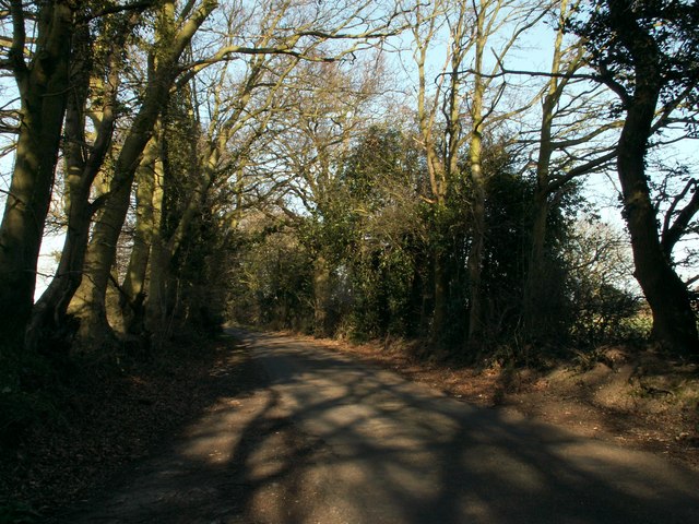
Kiln Wood is predominantly made up of deciduous trees, including oak, beech, and hornbeam. These trees provide a rich habitat for a variety of wildlife, such as birds, small mammals, and insects. The woodland floor is adorned with an array of wildflowers and ferns, creating a vibrant and diverse ecosystem.

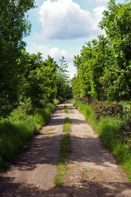
The woodland itself is crisscrossed by a network of well-maintained footpaths, allowing visitors to explore the area and enjoy the tranquility of nature. There are also designated picnic areas and benches for those looking to relax and take in the surroundings.

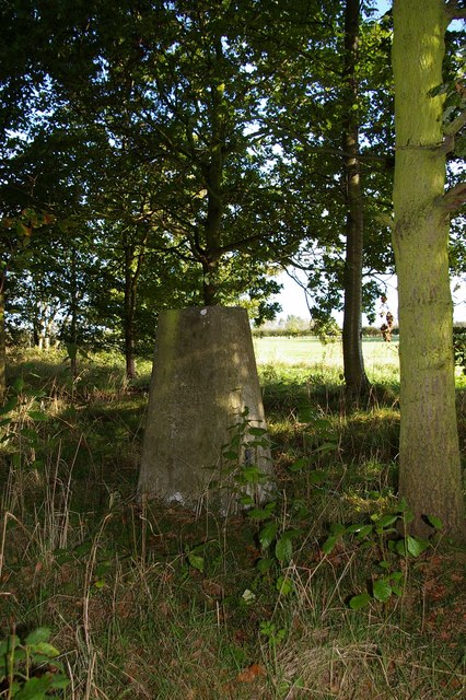
Kiln Wood holds historical significance as well. In the past, the area was used for charcoal production, with the remains of old kilns still visible today. This historical aspect adds an extra layer of interest to the woodland, attracting history enthusiasts and nature lovers alike.

Overall, Kiln Wood is a beautiful and peaceful woodland, offering visitors a chance to escape the hustle and bustle of everyday life and immerse themselves in the wonders of nature. Its proximity to Brentwood makes it easily accessible, making it a popular destination for both local residents and visitors from further afield.

If you have any feedback on the listing, please let us know in the comments section below.
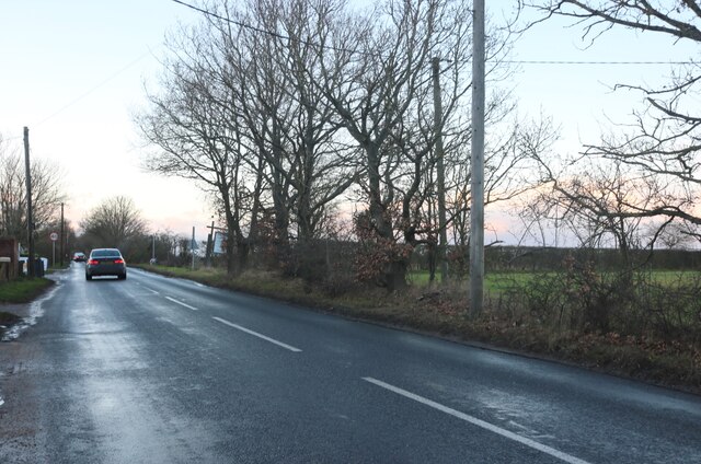
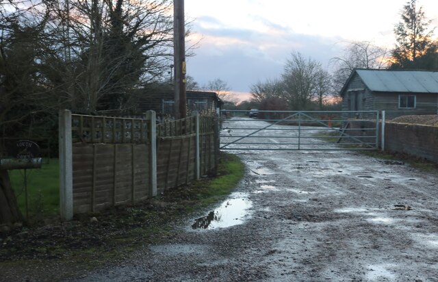
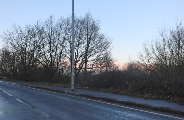
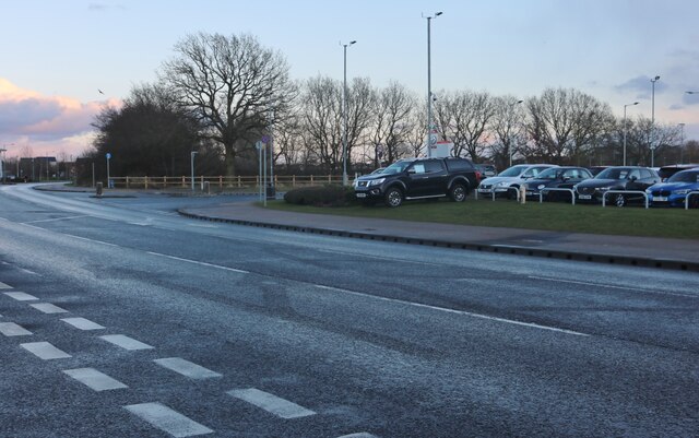
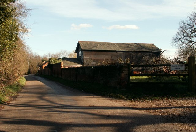
Kiln Wood Images

Images are sourced within 2km of 51.927287/0.93150425 or Grid Reference TM0129. Thanks to Geograph Open Source API. All images are credited.

Langham Road, Horkesley Heath
Farm by Langham Road, Horkesley Heath
Severalls Lane, Colchester
Steven Eagell Toyota, Colchester
Axial Way, Colchester Steven Eagell Toyota is on the right
Axial Way, Colchester
Steven Eagell Toyota is on the right
Old Boundary Marker off Langham Lane, Langham MOD Boundary Marker southeast of Langham Lane, at the entrance to Boxted Airfield Museum, on the former Boxted airfield. Langham parish. While the airfield was used from 1943 to 1947, the Royal Observer Corps post was used from 1961 to 1991 and the marker will date after 1964. Reference <span class="nowrap"><a title="https://www.subbrit.org.uk/sites/langham-roc-post/" rel="nofollow ugc noopener" href="https://www.subbrit.org.uk/sites/langham-roc-post/">Link</a><img style="margin-left:2px;" alt="External link" title="External link - shift click to open in new window" src="https://s1.geograph.org.uk/img/external.png" width="10" height="10"/></span>.

Milestone Society National ID: EX_MODLAN01em
Old Boundary Marker off Langham Lane, Langham
MOD Boundary Marker southeast of Langham Lane, at the entrance to Boxted Airfield Museum, on the former Boxted airfield. Langham parish. While the airfield was used from 1943 to 1947, the Royal Observer Corps post was used from 1961 to 1991 and the marker will date after 1964. Reference LinkExternal link. Milestone Society National ID: EX_MODLAN01em
Old Milestone, Old Ipswich Road (Was A12), 240m South of Harts Lane Junction The milestone is located in front of  the PRM Commercials garage on the east side of road. Parish of Ardleigh (Tendring District). Carved stone post, erected by the Chelmsford (Division of Essex First District) turnpike trust in the 19th century. 

Inscription is now largely eroded but the following is discernible on the front face:- Ardleigh

Listed grade II, list entry number:1147792  <span class="nowrap"><a title="https://historicengland.org.uk/listing/the-list/list-entry/1147792" rel="nofollow ugc noopener" href="https://historicengland.org.uk/listing/the-list/list-entry/1147792">Link</a><img style="margin-left:2px;" alt="External link" title="External link - shift click to open in new window" src="https://s1.geograph.org.uk/img/external.png" width="10" height="10"/></span>
Essex HER listed. SMR Number: 15743 <span class="nowrap"><a title="https://www.heritagegateway.org.uk/Gateway/Results_Single.aspx?uid=MEX1009948&resourceID=1001" rel="nofollow ugc noopener" href="https://www.heritagegateway.org.uk/Gateway/Results_Single.aspx?uid=MEX1009948&resourceID=1001">Link</a><img style="margin-left:2px;" alt="External link" title="External link - shift click to open in new window" src="https://s1.geograph.org.uk/img/external.png" width="10" height="10"/></span>

The milestone was found by a Milestone Society member fallen, probably following local flooding, and was re-erected by a working party from the Society for the Protection of Ancient Buildings in August 2021.

Milestone Society National ID: EX_COIP55
Old Milestone, Old Ipswich Road (Was A12), 240m South of Harts Lane Junction
The milestone is located in front of the PRM Commercials garage on the east side of road. Parish of Ardleigh (Tendring District). Carved stone post, erected by the Chelmsford (Division of Essex First District) turnpike trust in the 19th century. Inscription is now largely eroded but the following is discernible on the front face:- Ardleigh Listed grade II, list entry number:1147792 LinkExternal link Essex HER listed. SMR Number: 15743 LinkExternal link The milestone was found by a Milestone Society member fallen, probably following local flooding, and was re-erected by a working party from the Society for the Protection of Ancient Buildings in August 2021. Milestone Society National ID: EX_COIP55
Ardleigh Reservoir This is a shot of Ardleigh Reservoir north of Colchester taken from the end of Lodge Lane. The picture looks west across the water. See also <a href="https://www.geograph.org.uk/gridref/TM0429">TM0429</a> & <a href="https://www.geograph.org.uk/gridref/TM0329">TM0329</a>
Ardleigh Reservoir
This is a shot of Ardleigh Reservoir north of Colchester taken from the end of Lodge Lane. The picture looks west across the water. See also TM0429 & TM0329
The Gilberd School Comprehensive School named after William Gilberd, the pioneer of the study of magnetism in England. He lived in Trinity Street, Colchester.
The Gilberd School
Comprehensive School named after William Gilberd, the pioneer of the study of magnetism in England. He lived in Trinity Street, Colchester.
The Crown Inn On Old Ipswich Road near Ardleigh
The Crown Inn
On Old Ipswich Road near Ardleigh
Brunel Way This is Brunel Way part of a large business park to the north of Colchester. The mainly service industries based here have to some degree helped alleviate the unemployment caused by the closure of Colchester’s traditional engineering employers such as the lathe company.
Brunel Way
This is Brunel Way part of a large business park to the north of Colchester. The mainly service industries based here have to some degree helped alleviate the unemployment caused by the closure of Colchester’s traditional engineering employers such as the lathe company.
Fen Farm footpath This footpath/private Road  near Fen Farm,  Fox Street runs from the A137 to A12/A120 Junction at TM019289
Fen Farm footpath
This footpath/private Road near Fen Farm, Fox Street runs from the A137 to A12/A120 Junction at TM019289
Henless Huts These abandoned chicken sheds are on Fen Farm, Fox Street north of Colchester.
Henless Huts
These abandoned chicken sheds are on Fen Farm, Fox Street north of Colchester.
Langham Trig This triangulation point is near Langham Lodge farm. If satellite imaging had not rendered triangulation points obsolete some lumberjacking would be required before this one could be used again!
Langham Trig
This triangulation point is near Langham Lodge farm. If satellite imaging had not rendered triangulation points obsolete some lumberjacking would be required before this one could be used again!
Farmhouse at Runkins Corner Farm
Road to Harveys Farm It's a private road at the same time as being a public footpath.
Road to Harveys Farm
It's a private road at the same time as being a public footpath.
Part of Gatehouse Farm The road is called Crown Lane North.
Part of Gatehouse Farm
The road is called Crown Lane North.
Lodge Lane, close to Hillhouse Farm
Show me another place!

Kiln Wood is located at Grid Ref: TM0129 (Lat: 51.927287, Lng: 0.93150425)

Administrative County: Essex

District: Colchester

Police Authority: Essex

What 3 Words

///shifters.stones.grafted. Near Boxted, Essex

Nearby Locations

Kiln Wood

Related Wikis

RAF Boxted

Royal Air Force Boxted or more simply RAF Boxted is a former Royal Air Force station located 4 miles (6.4 km) north-northeast of Colchester, Essex England...

Bullock Wood

Bullock Wood is a 23.3-hectare (58-acre) biological Site of Special Scientific Interest on the northern outskirts of Colchester in Essex.The site is mature...
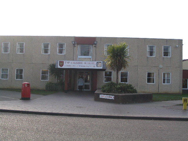
The Gilberd School

The Gilberd School is a coeducational secondary school with academy status, in Colchester, Essex, England. == History == The school originally opened on...

Ardleigh Reservoir

Ardleigh Reservoir is a 49-hectare (120-acre) lake near Colchester in Essex, England constructed in the valley of the Salary Brook. It supplies water both...

Nearby Amenities

Located within 500m of 51.927287,0.93150425
Communication Mobile Phone: yes
Man Made: mast
Tower Type: communication
Lat/Long: 51.9247196/0.9329095
The data included in this document is from www.openstreetmap.org. The data is made available under ODbL.

Have you been to Kiln Wood?

Leave your review of Kiln Wood below (or comments, questions and feedback).