Brown's Covert
Wood, Forest in Norfolk North Norfolk
England
Brown's Covert

Brown's Covert is a picturesque woodland located in Norfolk, England. Nestled within the Norfolk countryside, this enchanting forest offers visitors a serene and tranquil escape from the hustle and bustle of everyday life. With its dense foliage and towering trees, Brown's Covert is a haven for nature enthusiasts and those seeking solitude in a natural setting.
The woodland boasts a variety of tree species, including oak, beech, and birch, creating a rich tapestry of colors throughout the seasons. The forest floor is adorned with a lush carpet of wildflowers, ferns, and mosses, adding to the enchantment of the surroundings. The diversity of flora makes Brown's Covert an ideal habitat for a wide range of wildlife, including deer, foxes, and numerous species of birds.
Tranquil walking trails wind through the woodland, offering visitors the opportunity to immerse themselves in the beauty of nature. As visitors meander along the paths, they may come across a babbling brook or a hidden clearing, perfect for a picnic or a moment of quiet reflection.
Brown's Covert is not only a natural haven but also a place of historical significance. It is believed that the woodland has been in existence for centuries and has witnessed various historical events. Ancient earthworks and remnants of old structures can still be found within the forest, adding an air of mystery and intrigue to the location.
Overall, Brown's Covert in Norfolk is a captivating woodland that offers visitors a chance to connect with nature, unwind, and explore its historical charm. Whether it's for a leisurely stroll, birdwatching, or simply seeking solace in the great outdoors, this woodland sanctuary provides a truly unforgettable experience.
If you have any feedback on the listing, please let us know in the comments section below.
Brown's Covert Images
Images are sourced within 2km of 52.838278/0.9731231 or Grid Reference TG0030. Thanks to Geograph Open Source API. All images are credited.


Brown's Covert is located at Grid Ref: TG0030 (Lat: 52.838278, Lng: 0.9731231)
Administrative County: Norfolk
District: North Norfolk
Police Authority: Norfolk
What 3 Words
///handwriting.overlaps.many. Near Briston, Norfolk
Nearby Locations
Related Wikis

Swanton Novers Woods
Swanton Novers Woods is an 83-hectare (210-acre) biological Site of Special Scientific Interest east of Fakenham in Norfolk. The site is composed of Swanton...

Fulmodeston
Fulmodeston or Fulmodeston-cum-Croxton is a village and civil parish in the English county of Norfolk. The village is located 4 miles (6.4 km) south-east...
Barney, Norfolk
Barney is a village and former civil parish, now in the parish of Fulmodeston, in the North Norfolk district, in the county of Norfolk, England. Settled...

Swanton Novers
Swanton Novers is a village and a civil parish in the English county of Norfolk. The village is 15.1 miles (24.3 km) west-south-west of Cromer, 23.1 miles...
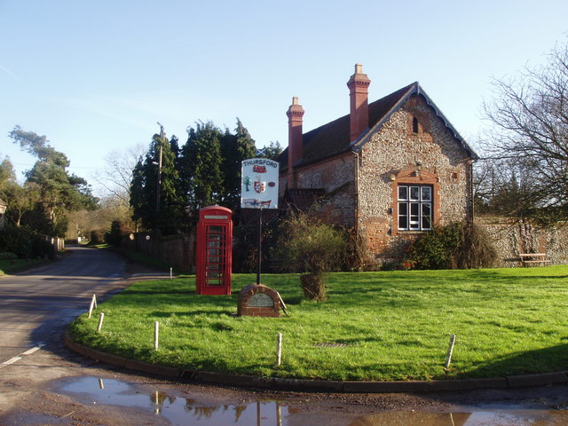
Thursford
Thursford is a village and civil parish in the county of Norfolk, eastern England. The village is 16.3 miles southwest of Cromer, 24.5 miles northwest...

Thursford railway station
Thursford railway station was a station in Norfolk, England on the Midland and Great Northern Joint Railway line between Melton Constable and South Lynn...
Wood Norton, Norfolk
Wood Norton is a village and civil parish in the English county of Norfolk. It is located 10 km (6.2 mi) east of Fakenham and 30 km (19 mi) north-west...

Hindolveston
Hindolveston is a village and civil parish in the English county of Norfolk. The village is 17.5 miles (28.2 km) west-south-west of Cromer, 20.8 miles...
Nearby Amenities
Located within 500m of 52.838278,0.9731231Have you been to Brown's Covert?
Leave your review of Brown's Covert below (or comments, questions and feedback).