Birchetts Wood
Wood, Forest in Kent Swale
England
Birchetts Wood
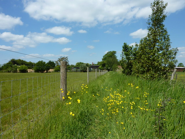
Birchetts Wood is an enchanting woodland located in the county of Kent, England. Spanning an area of approximately 50 acres, this ancient forest is a haven for nature enthusiasts and those seeking solace in the midst of nature's beauty. The wood is part of the larger Blean Woods complex, one of the largest areas of ancient broadleaved woodland in southern Britain.
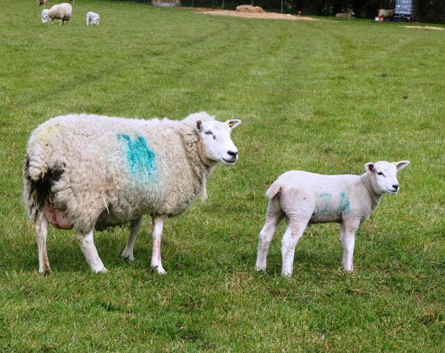
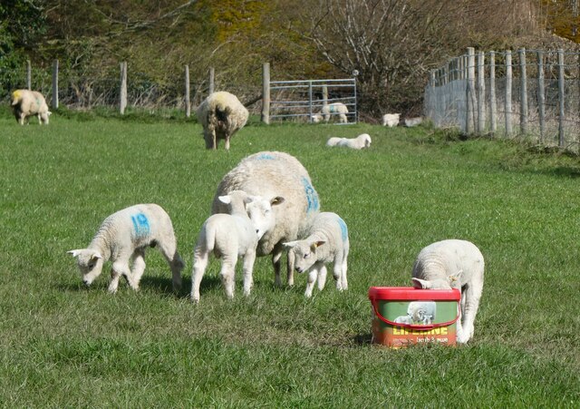
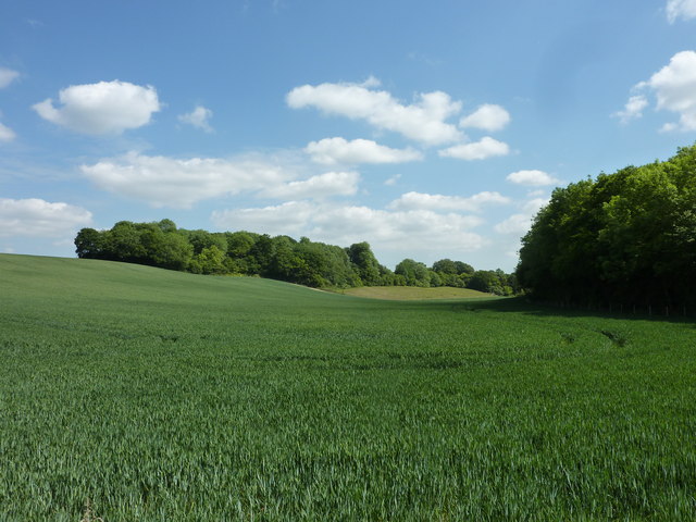
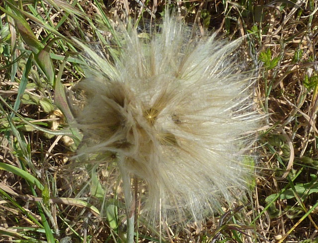
Composed primarily of oak, beech, and birch trees, Birchetts Wood boasts a rich biodiversity, providing a habitat for a wide variety of flora and fauna. Visitors can expect to encounter a diverse range of bird species, including woodpeckers, owls, and warblers, as well as small mammals such as deer, foxes, and badgers.
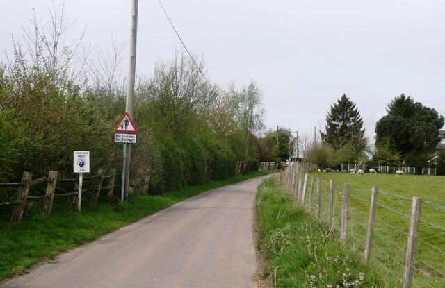
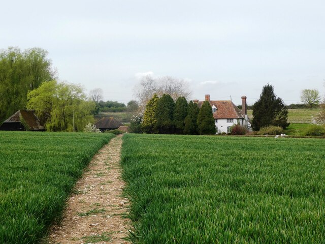
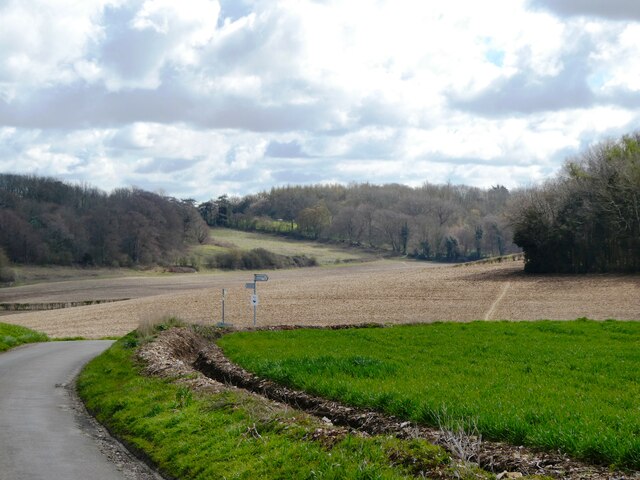
The woodland offers a network of well-maintained footpaths and trails, allowing visitors to explore its hidden treasures. The paths wind through the forest, leading to picturesque clearings and serene ponds, making it an ideal location for peaceful walks and picnics. In spring, the forest floor comes alive with a vibrant carpet of bluebells, creating a breathtaking sight for visitors.
Birchetts Wood is also of historical significance, with evidence of human activity dating back to the Iron Age. Archaeological finds have uncovered remnants of ancient settlements, including pottery fragments and flint tools.
Managed by the Forestry Commission, Birchetts Wood serves as a valuable educational resource and a testament to the importance of preserving and appreciating the natural environment. Its accessibility and tranquil atmosphere make it a popular destination for locals and tourists alike, providing a welcome escape from the hustle and bustle of everyday life.
If you have any feedback on the listing, please let us know in the comments section below.
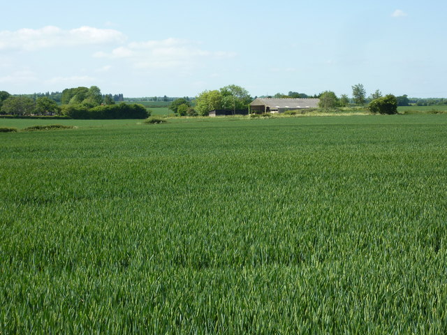
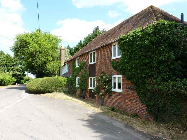
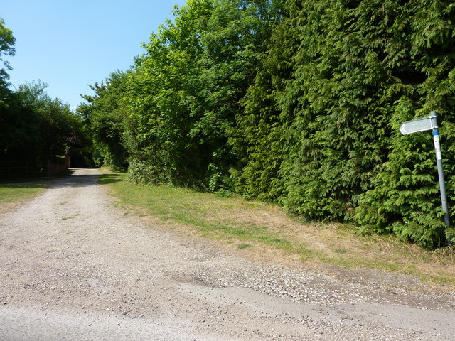
Birchetts Wood Images
Images are sourced within 2km of 51.244582/0.86900454 or Grid Reference TR0053. Thanks to Geograph Open Source API. All images are credited.


Birchetts Wood is located at Grid Ref: TR0053 (Lat: 51.244582, Lng: 0.86900454)
Administrative County: Kent
District: Swale
Police Authority: Kent
What 3 Words
///coach.slimming.firework. Near Charing, Kent
Nearby Locations
Related Wikis

RAF Throwley
Royal Air Force Throwley or more simply RAF Throwley is a former Royal Air Force (RAF) installation located 1.2 miles (1.9 km) south of Throwley, Kent...

Leaveland
Leaveland is a hamlet and civil parish located in the Swale borough of Kent, South East England. In terms of topography, it is described as a "village...

Badlesmere, Kent
Badlesmere is a village and civil parish in the Swale district of Kent, England, about five miles south of Faversham and eight miles north of Ashford on...
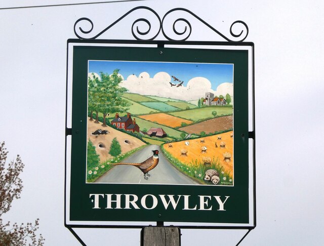
Throwley
Throwley is an English village south of Faversham in the Borough of Swale in Kent.The name is recorded in the Doomsday Book as Trevelai, which corresponds...
Throwley Priory
Throwley Priory was an English priory south of Faversham in Kent. == History == At the end of the civil wars of 1139-53, King Stephen's chief lieutenant...

Challock
Challock is a mostly wooded, large village and civil parish in the Borough of Ashford, Kent, England. The village name derives from the old English 'Cealfloca...

Molash
Molash is a civil parish and village in Kent, South East England. It contains a small part of an Area of Outstanding Natural Beauty (AONB) - the North...

Belmont House and Gardens
Belmont is a Georgian house and gardens in Throwley, near Faversham in east Kent. Built between 1769 and 1793, it has been described as "a marvellous example...
Have you been to Birchetts Wood?
Leave your review of Birchetts Wood below (or comments, questions and feedback).