Brinkley Grove
Wood, Forest in Essex Colchester
England
Brinkley Grove
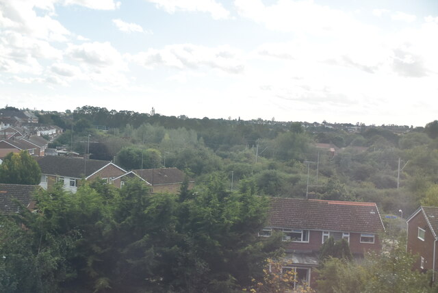
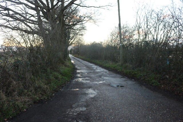
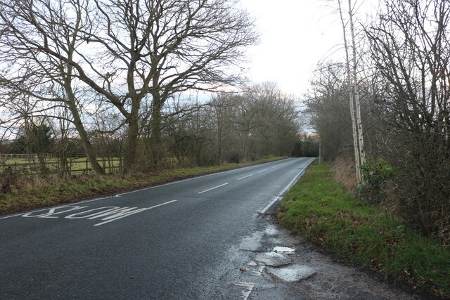
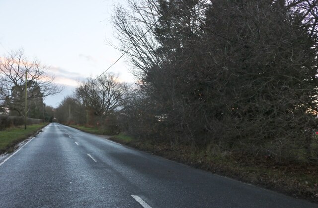
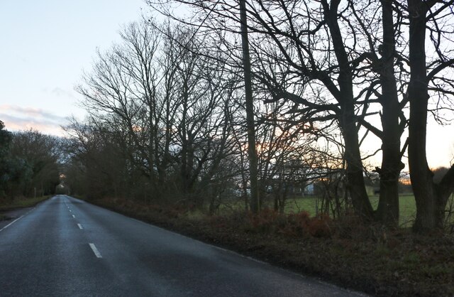
Located in the county of Essex, Brinkley Grove is a picturesque woodland area known for its natural beauty and tranquil surroundings. Situated near the village of Wood, this forested region covers a vast expanse of land and offers a variety of outdoor activities for nature enthusiasts.
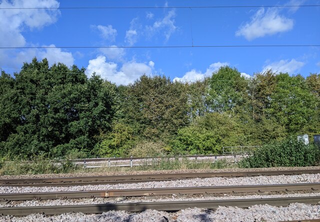
Brinkley Grove is characterized by its dense foliage, comprised mainly of oak, beech, and birch trees, which provide a lush canopy of shade during the summer months. The forest floor is covered in a carpet of wildflowers and ferns, creating a vibrant and colorful atmosphere. Numerous walking and cycling trails wind their way through the woodland, allowing visitors to explore the area and discover its hidden gems.
Wildlife is abundant in Brinkley Grove, with various species of birds, squirrels, and deer commonly spotted among the trees. The forest is also home to a diverse range of plant life, including rare orchids and fungi. Nature lovers will delight in the opportunity to observe and study the local flora and fauna.
Brinkley Grove offers a peaceful retreat from the hustle and bustle of city life. Its secluded location and tranquil atmosphere make it an ideal destination for those seeking solitude and relaxation. Visitors can enjoy picnicking amidst the scenic surroundings or simply take a leisurely stroll along the forest trails, soaking in the sights and sounds of nature.
Overall, Brinkley Grove in Essex is a haven for nature enthusiasts, offering a serene and picturesque woodland experience. With its diverse flora and fauna, as well as its tranquil ambiance, it is a destination that appeals to individuals of all ages seeking a connection with the natural world.
If you have any feedback on the listing, please let us know in the comments section below.
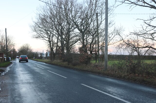
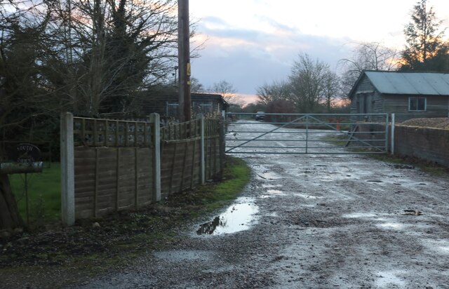
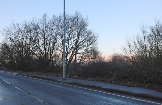
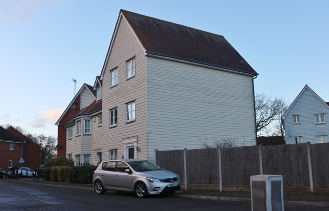
Brinkley Grove Images
Images are sourced within 2km of 51.914807/0.91184306 or Grid Reference TM0028. Thanks to Geograph Open Source API. All images are credited.

Brinkley Grove is located at Grid Ref: TM0028 (Lat: 51.914807, Lng: 0.91184306)
Administrative County: Essex
District: Colchester
Police Authority: Essex
What 3 Words
///bought.voice.energy. Near Colchester, Essex
Nearby Locations
Related Wikis

The Gilberd School
The Gilberd School is a coeducational secondary school with academy status, in Colchester, Essex, England. == History == The school originally opened on...

Colchester Hospital
Colchester Hospital is a district general hospital located in Colchester, Essex. It is managed by East Suffolk and North Essex NHS Foundation Trust....

St Aubyn Centre
The St Aubyn Centre is a mental health facility at 216 Turner Road, Colchester, Essex. It has two wards: (i) Longview Ward which is a General Adolescent...

Severalls Hospital
Severalls Hospital was a psychiatric hospital in Colchester, Essex, England. It was managed by the North Essex Partnership University NHS Foundation Trust...
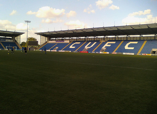
Colchester Community Stadium
Colchester Community Stadium, known for sponsorship reasons as the JobServe Community Stadium, is a football stadium in Colchester, England. It is the...

Myland
Myland (also called Mile End) is a civil parish in Essex, England. It is now a northern suburb of Colchester. The original village began approximately...

Bullock Wood
Bullock Wood is a 23.3-hectare (58-acre) biological Site of Special Scientific Interest on the northern outskirts of Colchester in Essex.The site is mature...
Workhouse Hill
Workhouse Hill is a hamlet in the Colchester district, in the English county of Essex. == References == Sources
Related Videos

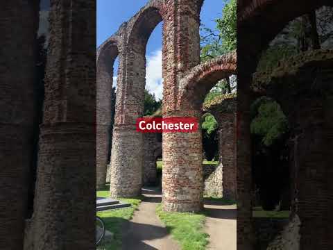
Colchester Town Walking Tour | Essex UK
Colchester town Colchester, the oldest town and the first capital of Roman Britain, situated in the country of Essex in Southeast ...

Travel video #travel #music #love #nature #song
personal vlogs #love #travel #punjabisong #music #musicvideo #foryou #nature #londonlover #song #london vlogs travel vlogs ...

Jersey, UK escapade ❤️ #jersey #shorts #travel #holiday
An escapade in Jersey, UK.
Nearby Amenities
Located within 500m of 51.914807,0.91184306Have you been to Brinkley Grove?
Leave your review of Brinkley Grove below (or comments, questions and feedback).