Round Wood
Wood, Forest in Kent Ashford
England
Round Wood

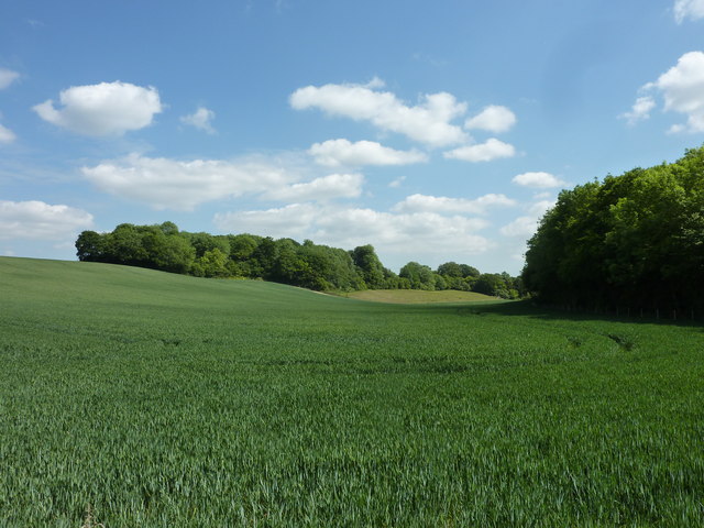
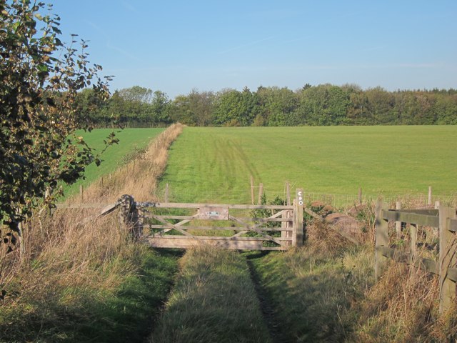
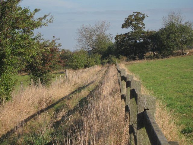
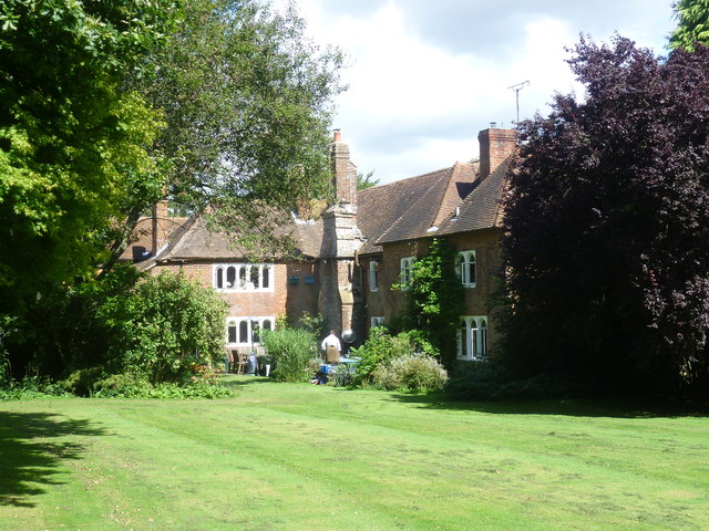
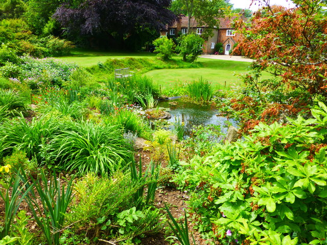
Round Wood is a picturesque woodland located in the county of Kent, England. It is situated near the village of Tudeley and covers an area of approximately 35 acres. The wood is part of the larger Tudeley Woods complex, which consists of several interconnected woodlands.
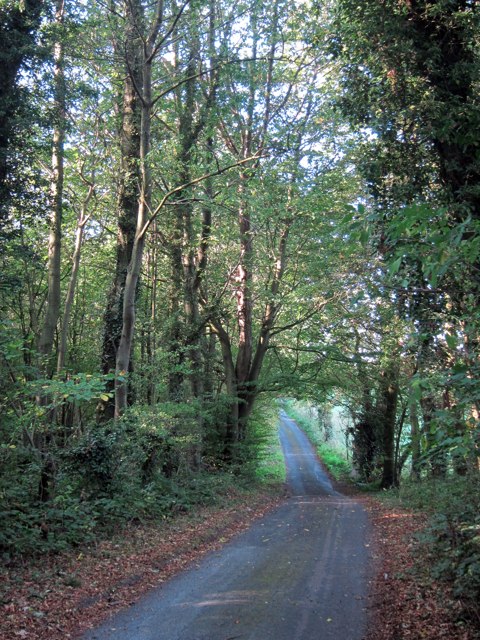
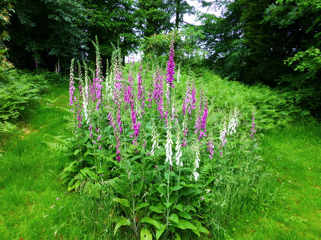
As the name suggests, Round Wood is characterized by its circular shape, which is believed to be the result of its origins as a medieval hunting ground. The wood is predominantly made up of broadleaf trees, including oak, beech, and ash, which create a dense canopy overhead. The forest floor is covered in a rich carpet of bluebells and other wildflowers during the spring months, adding to the wood's natural beauty.
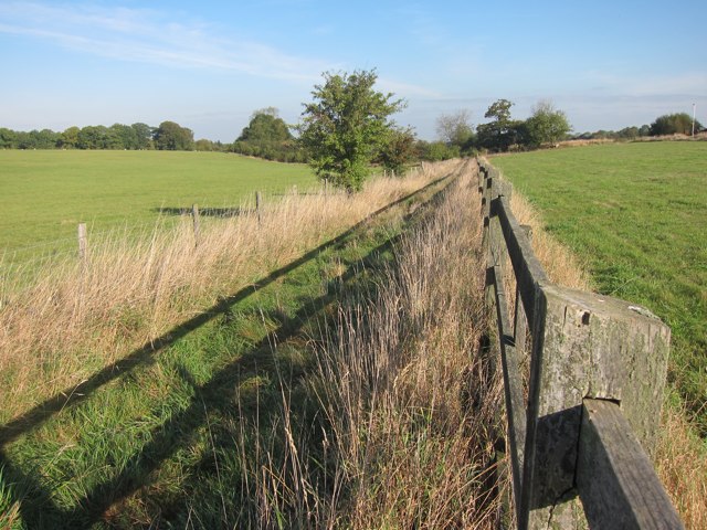
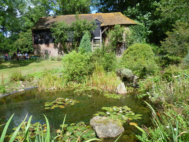
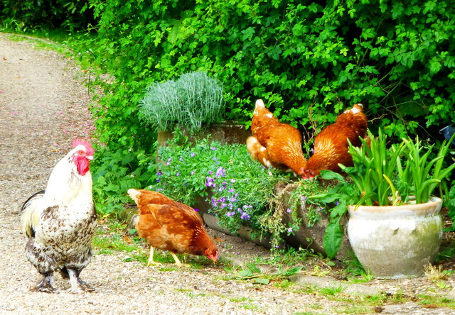
Round Wood is a haven for wildlife, providing a habitat for a diverse range of species. It is home to various birds, including woodpeckers, nightingales, and tawny owls. Mammals such as deer, foxes, and badgers can also be spotted within the wood. The tranquil atmosphere and abundance of wildlife make it a popular destination for nature enthusiasts and photographers.
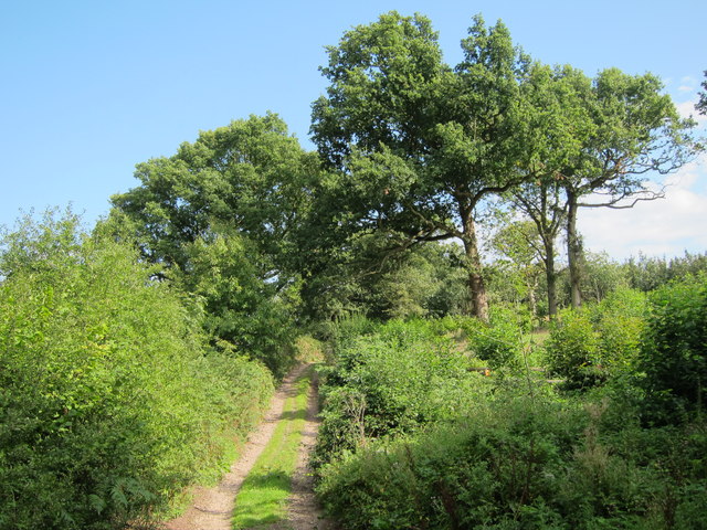
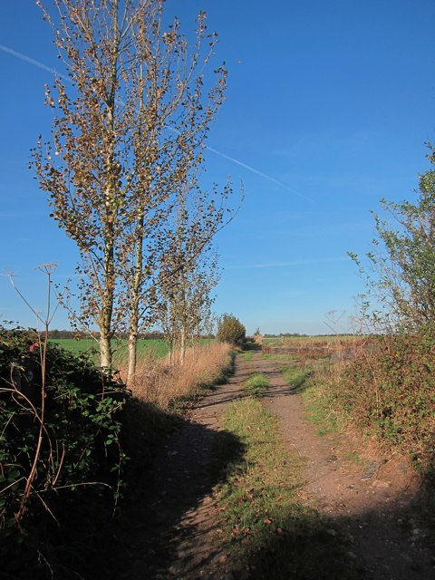
The wood offers a network of walking trails, allowing visitors to explore its enchanting surroundings. The paths wind their way through the trees, offering glimpses of stunning vistas and secluded clearings. Interpretive signs are placed along the trails, providing information about the woodland's history, flora, and fauna.
Overall, Round Wood in Kent is a natural gem, offering visitors a chance to immerse themselves in a serene environment, surrounded by ancient trees and the sounds of nature.
If you have any feedback on the listing, please let us know in the comments section below.
Round Wood Images
Images are sourced within 2km of 51.223388/0.86510758 or Grid Reference TR0051. Thanks to Geograph Open Source API. All images are credited.


Round Wood is located at Grid Ref: TR0051 (Lat: 51.223388, Lng: 0.86510758)
Administrative County: Kent
District: Ashford
Police Authority: Kent
What 3 Words
///perfumes.jigsaw.marching. Near Charing, Kent
Nearby Locations
Related Wikis

Challock
Challock is a mostly wooded, large village and civil parish in the Borough of Ashford, Kent, England. The village name derives from the old English 'Cealfloca...

Molash
Molash is a civil parish and village in Kent, South East England. It contains a small part of an Area of Outstanding Natural Beauty (AONB) - the North...

RAF Throwley
Royal Air Force Throwley or more simply RAF Throwley is a former Royal Air Force (RAF) installation located 1.2 miles (1.9 km) south of Throwley, Kent...
Eastwell, Kent
Eastwell is a hamlet and civil parish about 3 miles (5 km) north of Ashford, Kent, England. The 2011 Census recorded the parish's population as 103.The...

Charing Beech Hangers
Charing Beech Hangers is a 52.6-hectare (130-acre) biological Site of Special Scientific Interest north of Ashford in Kent.This steeply sloping site has...

Eastwell Park
Eastwell Park is a large area of parkland and a country estate in the civil parish of Eastwell, adjoining Ashford, Kent, in England. It was owned by the...

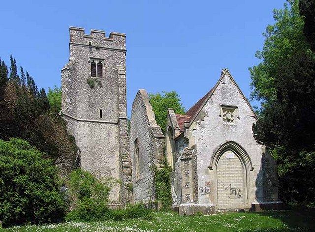
St Mary's Church, Eastwell
St Mary's Church is a ruined former Church of England parish church, in the grounds of Eastwell Park in the hamlet of Eastwell, Kent, England. It is recorded...

Westwell, Kent
Westwell is a village and relatively elevated civil parish with a population of 740 (2001), centred 4 miles (6 km) north of Ashford in Kent, England, in...
Nearby Amenities
Located within 500m of 51.223388,0.86510758Have you been to Round Wood?
Leave your review of Round Wood below (or comments, questions and feedback).