Bintree Woods
Wood, Forest in Norfolk Breckland
England
Bintree Woods

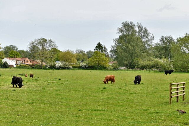
Bintree Woods is a picturesque woodland located in the county of Norfolk, England. Situated near the village of Bintree, the woods cover an area of approximately 100 acres and are a popular destination for nature enthusiasts and outdoor enthusiasts alike.
The woods are primarily composed of broadleaf trees, including oak, beech, and ash, which create a dense canopy that provides shade and shelter for a variety of wildlife. Walking through the woods, visitors can admire the vibrant colors of wildflowers, such as bluebells and primroses, that carpet the forest floor during the springtime.
Bintree Woods is home to a diverse range of flora and fauna. Birdwatchers can spot various species, including woodpeckers, nuthatches, and tawny owls. Small mammals, such as squirrels and rabbits, can also be seen darting among the trees, while the occasional glimpse of a roe deer adds to the enchanting atmosphere.
A network of well-maintained footpaths crisscrosses the woods, allowing visitors to explore the area at their own pace. These paths lead to hidden clearings and tranquil spots, offering opportunities for picnicking or simply enjoying the peaceful ambiance of the woodland.
The woods have been carefully managed to preserve their natural beauty and biodiversity. Conservation efforts have included tree planting and the creation of wildlife habitats, ensuring that future generations can continue to enjoy the splendor of Bintree Woods for years to come.
If you have any feedback on the listing, please let us know in the comments section below.
Bintree Woods Images
Images are sourced within 2km of 52.758925/0.96492563 or Grid Reference TG0022. Thanks to Geograph Open Source API. All images are credited.


Bintree Woods is located at Grid Ref: TG0022 (Lat: 52.758925, Lng: 0.96492563)
Administrative County: Norfolk
District: Breckland
Police Authority: Norfolk
What 3 Words
///mysteries.dude.imprinted. Near North Elmham, Norfolk
Nearby Locations
Related Wikis
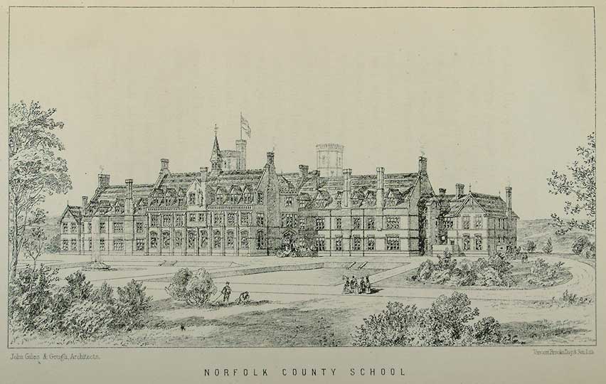
Watts Naval School
Watts Naval School was originally the Norfolk County School, a boarding school set up to serve the educational needs of the 'sons of farmers and artisans...

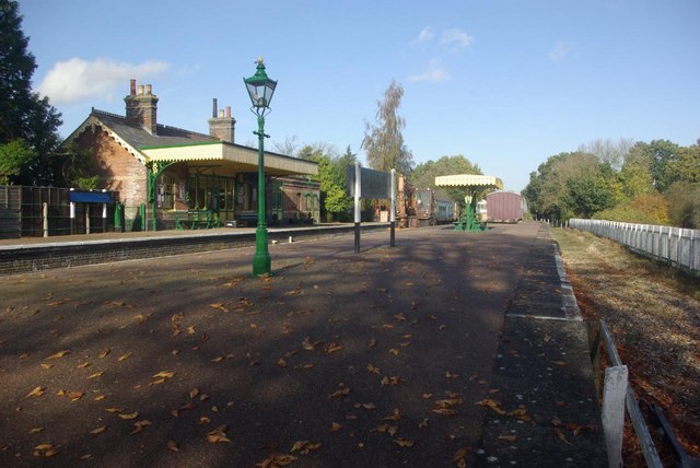
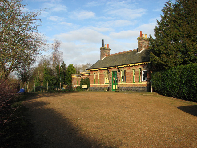
County School railway station
County School railway station is on the Mid-Norfolk Railway in Norfolk, England; it will serve the villages of North Elmham and Guist once services resume...

Fakenham and Dereham Railway Society
The Fakenham and Dereham Railway Society (F&DRS) was a heritage railway society in the English county of Norfolk. For a short period of time it operated...
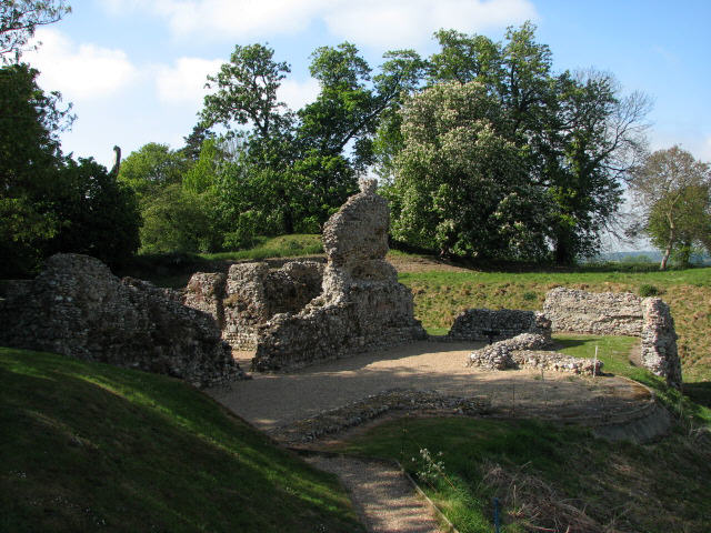
North Elmham Castle
North Elmham Castle, also known as North Elmham Bishops Castle and North Elmham Bishops Chapel, is a ruined castle in the village of North Elmham, in the...
Nearby Amenities
Located within 500m of 52.758925,0.96492563Have you been to Bintree Woods?
Leave your review of Bintree Woods below (or comments, questions and feedback).