Pested

Settlement in Kent Ashford

England

Pested

View of woodland near Bell's Forstal Seen from Loose Down Road.
View of woodland near Bell's Forstal Credit: pam fray

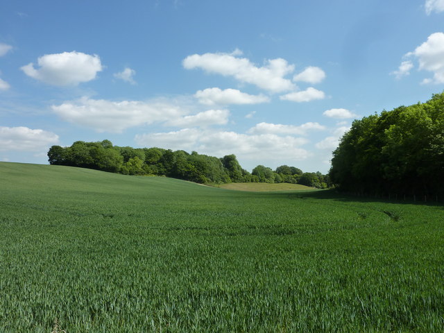
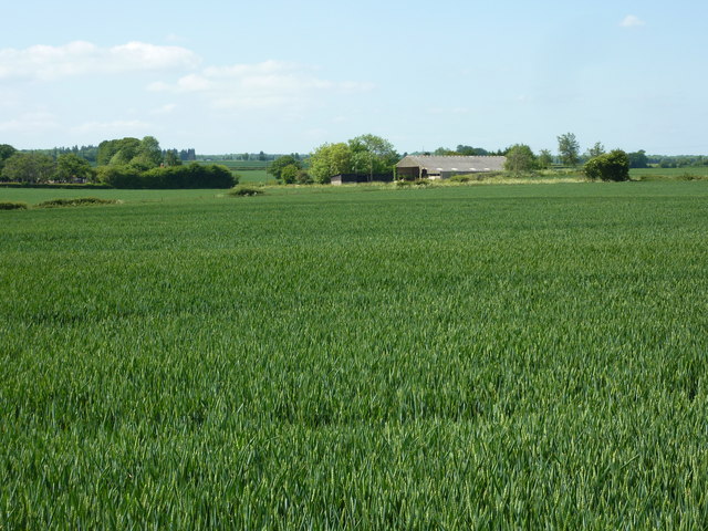
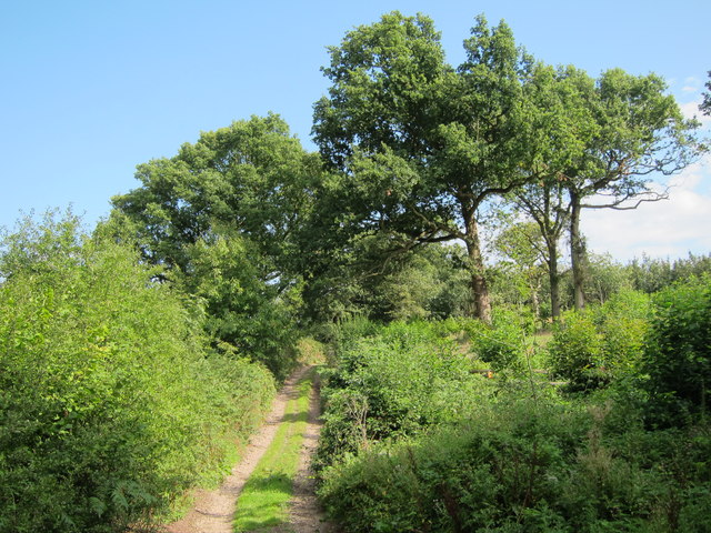
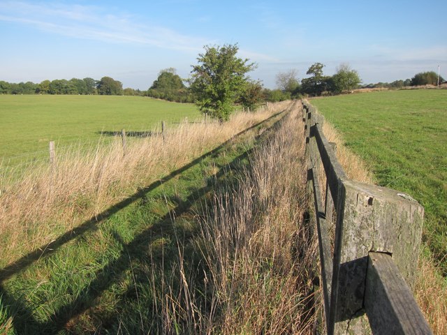
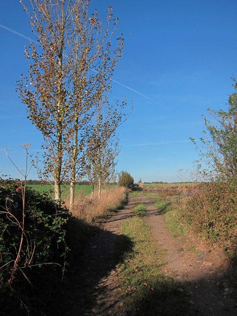
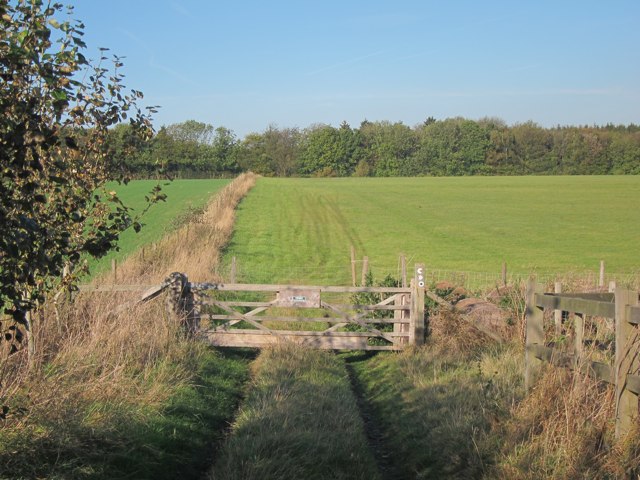
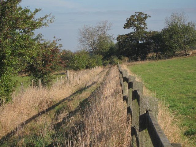
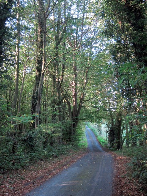
Pested is a small village located in the county of Kent, in southeastern England. Situated near the bustling town of Tunbridge Wells, Pested offers a peaceful and picturesque setting for its residents. The village is surrounded by rolling hills, lush green fields, and dense woodlands, providing ample opportunities for outdoor activities such as hiking, biking, and nature walks.

Pested is known for its rich historical heritage, with evidence of human settlement dating back to the Roman period. The village features several notable landmarks, including a beautiful medieval church, St. Mary's, which stands as a testament to the village's past. The church is renowned for its stunning architecture and houses ancient artifacts and tombstones.

The village has a close-knit community, with a population of around 500 residents. Pested offers a range of amenities, including a primary school, a village hall, and a local pub, where locals and visitors can relax and enjoy a traditional British meal.

Although Pested is a quiet village, it benefits from its proximity to Tunbridge Wells, which provides access to a wider range of amenities and services. The village is well-connected to surrounding towns and cities through a network of roads, making it easily accessible for both residents and visitors.

Overall, Pested, Kent, offers a tranquil and charming environment with a rich history, making it an attractive place to live or visit for those seeking a slower pace of life and a connection to nature.

If you have any feedback on the listing, please let us know in the comments section below.
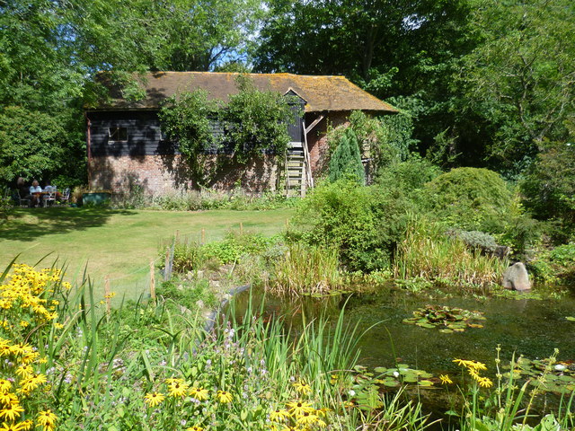
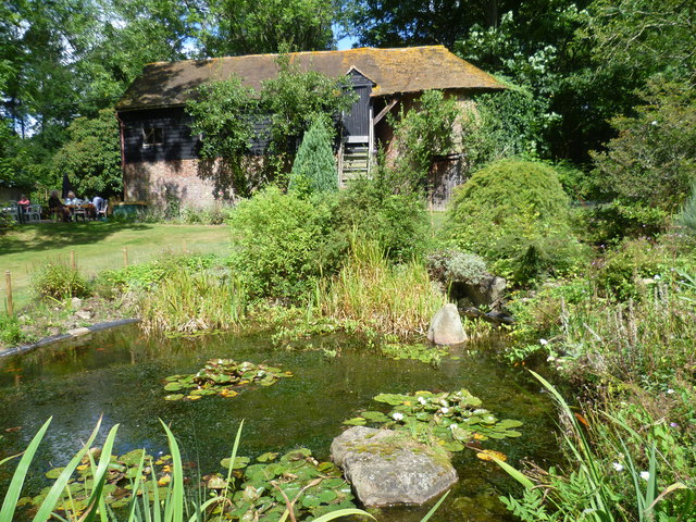
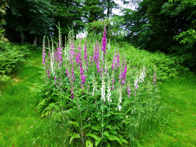
Pested Images

Images are sourced within 2km of 51.230912/0.873768 or Grid Reference TR0051. Thanks to Geograph Open Source API. All images are credited.

View of woodland near Bell's Forstal Seen from Loose Down Road.
View of woodland near Bell's Forstal
Seen from Loose Down Road.
Goatsbeard seed head (Tragopogon pratensis) The common name for this plant is Jack-go-to-bed-at-noon.
Goatsbeard seed head (Tragopogon pratensis)
The common name for this plant is Jack-go-to-bed-at-noon.
Cadman's Farm Viewed from Loose Down Road.
Cadman's Farm
Viewed from Loose Down Road.
Track through Hurst Wood The track is a byway to the A251.
Track through Hurst Wood
The track is a byway to the A251.
Footpath near Landew's Farm Footpath from Green Lane through fields towards Chantry Wood.
Footpath near Landew's Farm
Footpath from Green Lane through fields towards Chantry Wood.
Track at Landew's Farm
Field gate at Landew's Farm On footpath from Green Lane through fields towards Chantry Wood.
Field gate at Landew's Farm
On footpath from Green Lane through fields towards Chantry Wood.
Footpath near Landew's Farm Footpath from Green Lane through fields towards Chantry Wood.
Footpath near Landew's Farm
Footpath from Green Lane through fields towards Chantry Wood.
Green Lane Autumnal narrow lane looping on and off the A252 Canterbury Road. High Snoad Wood to the left.
Green Lane
Autumnal narrow lane looping on and off the A252 Canterbury Road. High Snoad Wood to the left.
The pond and oast at Beech Court Gardens Beech Court Gardens just outside Challock are well known for their collections of trees, rhododendrons, climbing roses and hydrangeas. They also serve lunches and teas in the old oast house which is here seen across the pond. The original traditional oast would have been on the right of this building. For more information see <span class="nowrap"><a title="http://www.beechcourtgardens.co.uk/" rel="nofollow ugc noopener" href="http://www.beechcourtgardens.co.uk/">Link</a><img style="margin-left:2px;" alt="External link" title="External link - shift click to open in new window" src="https://s1.geograph.org.uk/img/external.png" width="10" height="10"/></span>
The pond and oast at Beech Court Gardens
Beech Court Gardens just outside Challock are well known for their collections of trees, rhododendrons, climbing roses and hydrangeas. They also serve lunches and teas in the old oast house which is here seen across the pond. The original traditional oast would have been on the right of this building. For more information see LinkExternal link
The pond and oast at Beech Court Gardens Beech Court Gardens just outside Challock are well known for their collections of trees, rhododendrons, climbing roses and hydrangeas. They also serve lunches and teas inside and outside the old oast house which is here seen across the pond. The original traditional oast would have been on the right of this building. For more information see <span class="nowrap"><a title="http://www.beechcourtgardens.co.uk/" rel="nofollow ugc noopener" href="http://www.beechcourtgardens.co.uk/">Link</a><img style="margin-left:2px;" alt="External link" title="External link - shift click to open in new window" src="https://s1.geograph.org.uk/img/external.png" width="10" height="10"/></span>
The pond and oast at Beech Court Gardens
Beech Court Gardens just outside Challock are well known for their collections of trees, rhododendrons, climbing roses and hydrangeas. They also serve lunches and teas inside and outside the old oast house which is here seen across the pond. The original traditional oast would have been on the right of this building. For more information see LinkExternal link
Beech Court Gardens, Challock One of many clumps of foxgloves (Digitalis) growing in a shady area near the entrance to the gardens.
Beech Court Gardens, Challock
One of many clumps of foxgloves (Digitalis) growing in a shady area near the entrance to the gardens.
Beech Court Gardens, Challock Bird box and bell on the walls of the tea rooms.
Beech Court Gardens, Challock
Bird box and bell on the walls of the tea rooms.
Beech Court Gardens, Challock Some of the many resident hens with a cockerel in the courtyard outside the tea rooms.
Beech Court Gardens, Challock
Some of the many resident hens with a cockerel in the courtyard outside the tea rooms.
A252 Canterbury Road Towards Challock.
A252 Canterbury Road
Towards Challock.
Ordnance Survey Flush Bracket G1846 This can be found on the wall of Springfield House - a private dwelling - adjacent to Springfield Stores.
For more detail see : <span class="nowrap"><a title="http://www.bench-marks.org.uk/bm13606" rel="nofollow ugc noopener" href="http://www.bench-marks.org.uk/bm13606">Link</a><img style="margin-left:2px;" alt="External link" title="External link - shift click to open in new window" src="https://s1.geograph.org.uk/img/external.png" width="10" height="10"/></span>
Ordnance Survey Flush Bracket G1846
This can be found on the wall of Springfield House - a private dwelling - adjacent to Springfield Stores. For more detail see : LinkExternal link
Ordnance Survey Flush Bracket G1845 This can be found on the wall of the Old Vicarage - a private dwelling - in Challock Lees.
For more detail see : <span class="nowrap"><a title="http://www.bench-marks.org.uk/bm13605" rel="nofollow ugc noopener" href="http://www.bench-marks.org.uk/bm13605">Link</a><img style="margin-left:2px;" alt="External link" title="External link - shift click to open in new window" src="https://s1.geograph.org.uk/img/external.png" width="10" height="10"/></span>
Ordnance Survey Flush Bracket G1845
This can be found on the wall of the Old Vicarage - a private dwelling - in Challock Lees. For more detail see : LinkExternal link
Church Lane entering Challock Lees Looking north-eastward.
Church Lane entering Challock Lees
Looking north-eastward.
Show me another place!

Pested is located at Grid Ref: TR0051 (Lat: 51.230912, Lng: 0.873768)

Administrative County: Kent

District: Ashford

Police Authority: Kent

What 3 Words

///saved.gala.pixel. Near Charing, Kent

Related Wikis

Challock

Challock is a mostly wooded, large village and civil parish in the Borough of Ashford, Kent, England. The village name derives from the old English 'Cealfloca...

Molash

Molash is a civil parish and village in Kent, South East England. It contains a small part of an Area of Outstanding Natural Beauty (AONB) - the North...

RAF Throwley

Royal Air Force Throwley or more simply RAF Throwley is a former Royal Air Force (RAF) installation located 1.2 miles (1.9 km) south of Throwley, Kent...

Leaveland

Leaveland is a hamlet and civil parish located in the Swale borough of Kent, South East England. In terms of topography, it is described as a "village...

Badlesmere, Kent

Badlesmere is a village and civil parish in the Swale district of Kent, England, about five miles south of Faversham and eight miles north of Ashford on...

Park Wood, Chilham

Park Wood is a 31.1-hectare (77-acre) biological Site of Special Scientific Interest west of Chilham in Kent.This wood is mainly hazel and hornbeam coppice...

Throwley

Throwley is an English village south of Faversham in the Borough of Swale in Kent.The name is recorded in the Doomsday Book as Trevelai, which corresponds...

Throwley Priory

Throwley Priory was an English priory south of Faversham in Kent. == History == At the end of the civil wars of 1139-53, King Stephen's chief lieutenant...

Nearby Amenities

Located within 500m of 51.230912,0.873768
Barrier: stile
Lat/Long: 51.2299208/0.8683963
The data included in this document is from www.openstreetmap.org. The data is made available under ODbL.

Have you been to Pested?

Leave your review of Pested below (or comments, questions and feedback).