Gravelpit Covert
Wood, Forest in Suffolk West Suffolk
England
Gravelpit Covert

Gravelpit Covert, located in Suffolk, England, is a picturesque woodland area known for its dense forest cover and natural beauty. Spanning over several acres, this enchanting wood is a haven for nature lovers and outdoor enthusiasts.
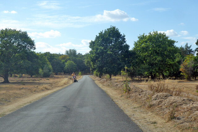
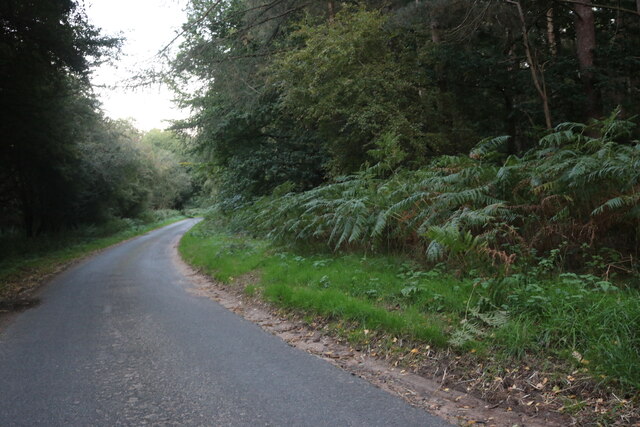
The woodland is characterized by a mix of deciduous and coniferous trees, creating a diverse ecosystem that supports a rich array of flora and fauna. Towering oak and beech trees dominate the landscape, their branches forming a lush canopy overhead. The forest floor is carpeted with a variety of wildflowers, ferns, and mosses, adding to the area's charm.
Gravelpit Covert is home to a wide range of wildlife, with many species finding refuge within its leafy embrace. Visitors can spot numerous bird species, including woodpeckers, owls, and songbirds, as they chirp and flutter among the treetops. Squirrels scurry along the branches, while rabbits and deer can occasionally be seen foraging in the undergrowth.
The woodland offers a network of trails and paths, allowing visitors to explore its beauty at their own pace. Hikers and nature enthusiasts can immerse themselves in the serene surroundings, discovering hidden glades and babbling brooks along the way. The wood also has designated picnic areas, providing a perfect spot for visitors to relax and enjoy a picnic amidst the tranquility of nature.
Gravelpit Covert is a true gem of Suffolk, offering a peaceful retreat from the hustle and bustle of everyday life. Its natural splendor and diverse wildlife make it an ideal destination for those seeking solace in the beauty of the great outdoors.
If you have any feedback on the listing, please let us know in the comments section below.
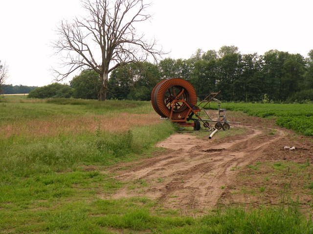
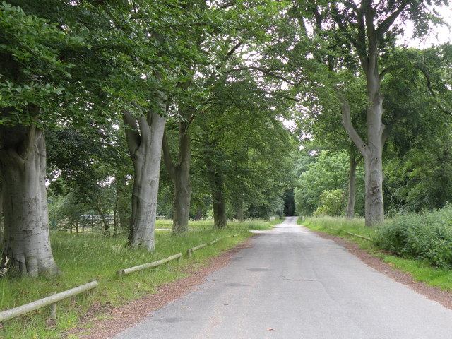
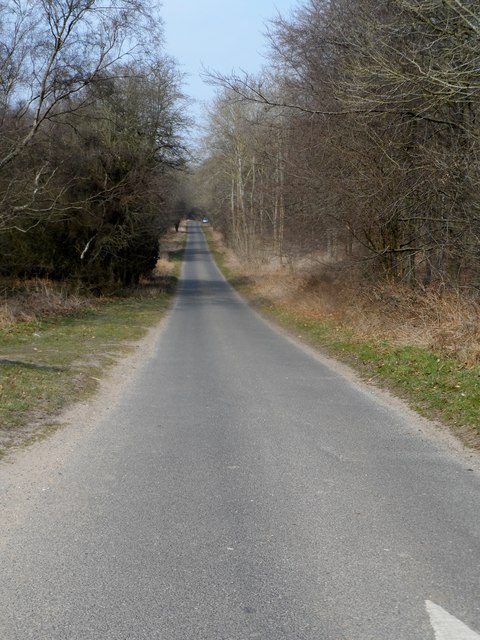
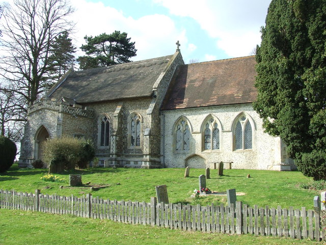
Gravelpit Covert Images
Images are sourced within 2km of 52.379158/0.86447274 or Grid Reference TL9579. Thanks to Geograph Open Source API. All images are credited.


Gravelpit Covert is located at Grid Ref: TL9579 (Lat: 52.379158, Lng: 0.86447274)
Administrative County: Suffolk
District: West Suffolk
Police Authority: Suffolk
What 3 Words
///thighs.sparkle.mimed. Near East Harling, Norfolk
Related Wikis

Knettishall Heath
Knettishall Heath is a 91.7-hectare (227-acre) biological Site of Special Scientific Interest west of Knettishall in Suffolk. A larger area of 176 hectares...

Iceni Way
The Iceni Way is a collective name for several long-distance footpaths running from Knettishall Heath to Hunstanton via the Little Ouse and Great Ouse...
Coney Weston
Coney Weston is a village and civil parish in Suffolk, England, within the West Suffolk district. It is a primarily rural residential town that has dormitory...

RAF Knettishall
RAF Knettishall is a former World War II airfield in Suffolk. During the conflict, it was numbered as Station 136 by the United States Army Air Forces...

Riddlesworth Hall
Riddlesworth Hall is a country house, and was formerly used as a boarding school. It is located in Riddlesworth, Norfolk, England. == History == It was...

Knettishall
Knettishall is a village and civil parish in the West Suffolk district of Suffolk in eastern England. Located on the south bank of the River Little Ouse...

Riddlesworth
Riddlesworth is a civil parish in the English county of Norfolk. It covers an area of 8.26 km2 (3.19 sq mi) and had a population of 147 in 48 households...

Fakenham Wood and Sapiston Great Grove
Fakenham Wood and Sapiston Great Grove is a 200.7-hectare (496-acre) biological Site of Special Scientific Interest north of Sapiston in Suffolk.These...
Nearby Amenities
Located within 500m of 52.379158,0.86447274Have you been to Gravelpit Covert?
Leave your review of Gravelpit Covert below (or comments, questions and feedback).