Blackbrake Strip
Wood, Forest in Suffolk West Suffolk
England
Blackbrake Strip

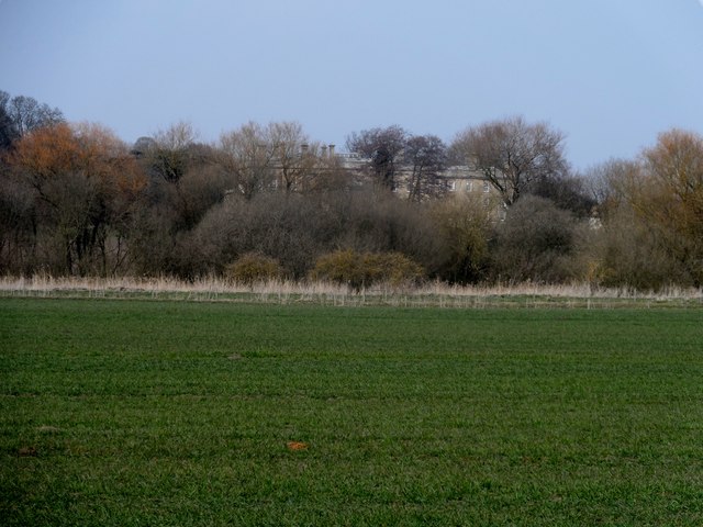
Blackbrake Strip is a small woodland area located in Suffolk, England. Covering an area of approximately 2 acres, it is situated near the village of Wood. The woodland is part of a larger forested region in Suffolk, known for its natural beauty and diverse wildlife.
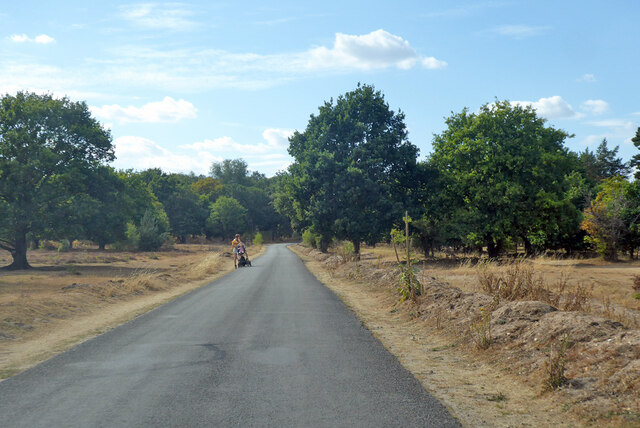
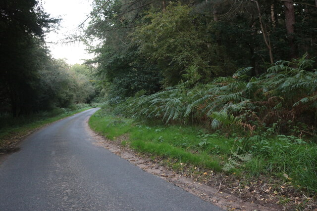
The Blackbrake Strip is characterized by a mix of broadleaf and coniferous trees, creating a varied and picturesque landscape. The dominant tree species include oak, ash, beech, and pine, providing a rich canopy and shelter for a variety of flora and fauna.
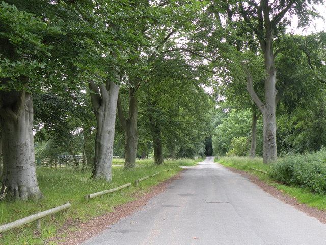
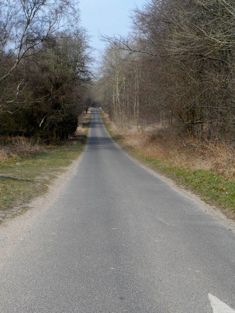
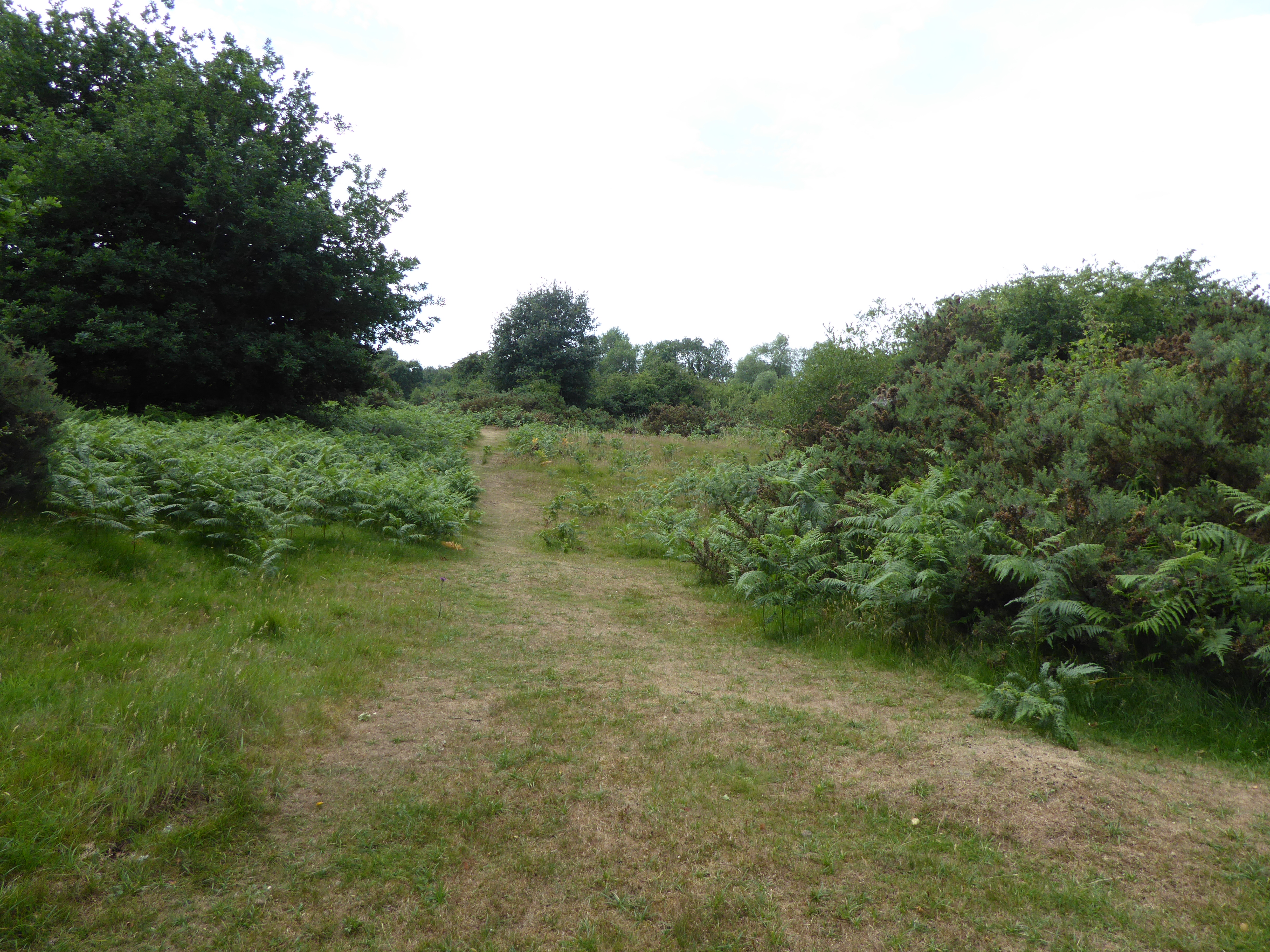
This woodland is a popular destination for nature enthusiasts, hikers, and birdwatchers. The tranquil atmosphere and well-maintained footpaths make it an ideal place for leisurely walks and exploration. Visitors can enjoy the beauty of the changing seasons, with vibrant spring blooms, lush summer foliage, and colorful autumn leaves.
The woodland is also home to a wide range of wildlife. Bird species such as woodpeckers, owls, and various songbirds can be spotted throughout the year. Mammals including foxes, rabbits, and squirrels are commonly seen, while the occasional sighting of deer adds to the area's natural charm.
Blackbrake Strip is easily accessible, with ample parking facilities nearby. The site is managed by the local authorities, who ensure its preservation and conservation. Visitors are encouraged to follow designated paths and respect the natural environment.
Overall, Blackbrake Strip offers a peaceful retreat for nature lovers and provides a valuable habitat for a diverse range of plants and animals. Its scenic beauty and ecological significance make it a cherished part of the Suffolk countryside.
If you have any feedback on the listing, please let us know in the comments section below.
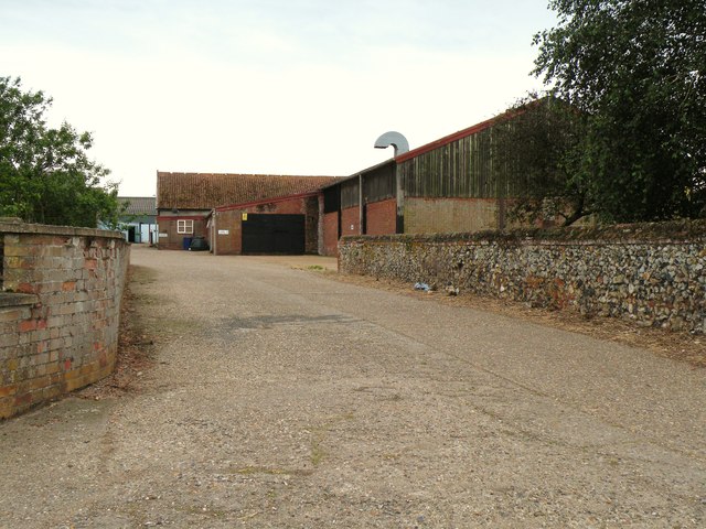
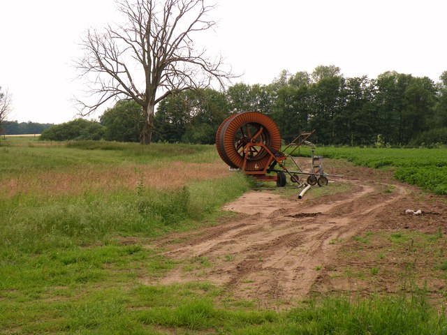
Blackbrake Strip Images
Images are sourced within 2km of 52.382848/0.86915007 or Grid Reference TL9579. Thanks to Geograph Open Source API. All images are credited.


Blackbrake Strip is located at Grid Ref: TL9579 (Lat: 52.382848, Lng: 0.86915007)
Administrative County: Suffolk
District: West Suffolk
Police Authority: Suffolk
What 3 Words
///alive.painters.headboard. Near East Harling, Norfolk
Related Wikis

Knettishall Heath
Knettishall Heath is a 91.7-hectare (227-acre) biological Site of Special Scientific Interest west of Knettishall in Suffolk. A larger area of 176 hectares...

Iceni Way
The Iceni Way is a collective name for several long-distance footpaths running from Knettishall Heath to Hunstanton via the Little Ouse and Great Ouse...

RAF Knettishall
RAF Knettishall is a former World War II airfield in Suffolk. During the conflict, it was numbered as Station 136 by the United States Army Air Forces...
Coney Weston
Coney Weston is a village and civil parish in Suffolk, England, within the West Suffolk district. It is a primarily rural residential town that has dormitory...

Riddlesworth Hall
Riddlesworth Hall is a country house, and was formerly used as a boarding school. It is located in Riddlesworth, Norfolk, England. == History == It was...

Knettishall
Knettishall is a village and civil parish in the West Suffolk district of Suffolk in eastern England. Located on the south bank of the River Little Ouse...

Riddlesworth
Riddlesworth is a civil parish in the English county of Norfolk. It covers an area of 8.26 km2 (3.19 sq mi) and had a population of 147 in 48 households...
Weston Fen, Suffolk
Weston Fen is a 49.7-hectare (123-acre) biological Site of Special Scientific Interest in Hopton in Suffolk. It is part of the Waveney and Little Ouse...
Nearby Amenities
Located within 500m of 52.382848,0.86915007Have you been to Blackbrake Strip?
Leave your review of Blackbrake Strip below (or comments, questions and feedback).