Craxe's Green
Wood, Forest in Essex Colchester
England
Craxe's Green
Craxe's Green is a charming village located in the county of Essex, England. Nestled within a serene woodland area, it is often referred to as Craxe's Green Wood or Craxe's Green Forest. The village is renowned for its picturesque surroundings and natural beauty, making it a popular destination for nature lovers and outdoor enthusiasts.
The woodland in Craxe's Green is characterized by its lush greenery, towering trees, and diverse flora and fauna. It offers a tranquil escape from the hustle and bustle of city life, providing a serene environment for relaxation and exploration. The woodland is home to various wildlife species, including deer, squirrels, and a wide variety of bird species, making it an ideal spot for birdwatching and wildlife spotting.
In addition to its natural allure, Craxe's Green offers a range of recreational activities for visitors to enjoy. There are numerous walking and hiking trails that wind through the forest, allowing visitors to immerse themselves in the beauty of the surroundings. The village also boasts several picnic areas and designated camping spots, providing opportunities for outdoor gatherings and overnight stays.
Craxe's Green is not only a paradise for nature enthusiasts but also a place of historical significance. The village is believed to have ancient origins, with evidence of human settlement dating back centuries. Archaeological sites and ruins can be found throughout the woodland, adding an element of historical intrigue to the area.
Overall, Craxe's Green, Essex (Wood, Forest) is a captivating destination that combines natural beauty, outdoor activities, and historical charm. It offers a peaceful retreat for those seeking to connect with nature and explore the fascinating history of the region.
If you have any feedback on the listing, please let us know in the comments section below.
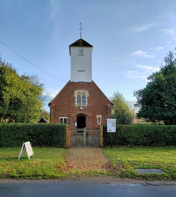
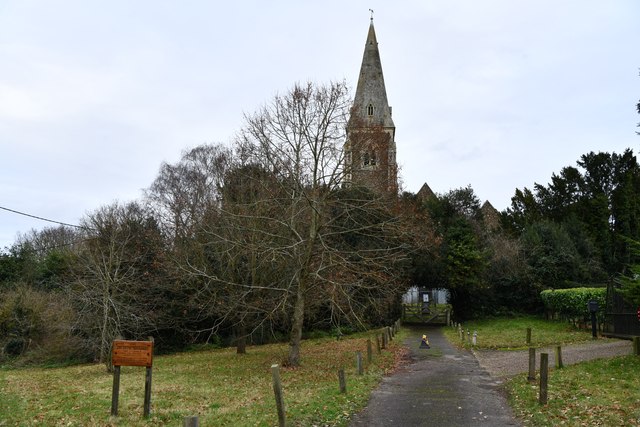
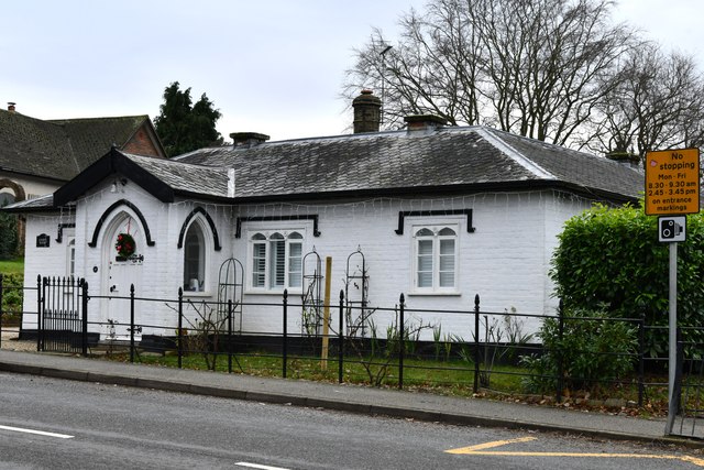
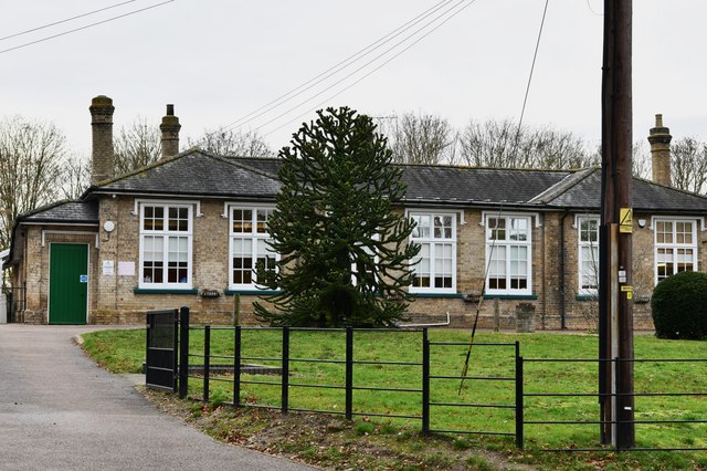
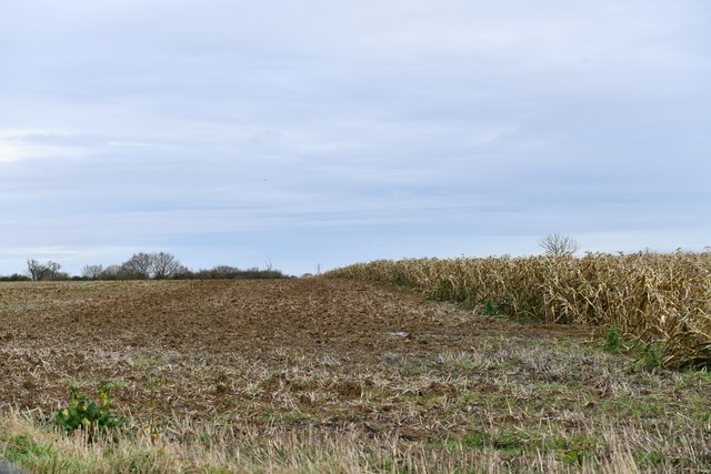
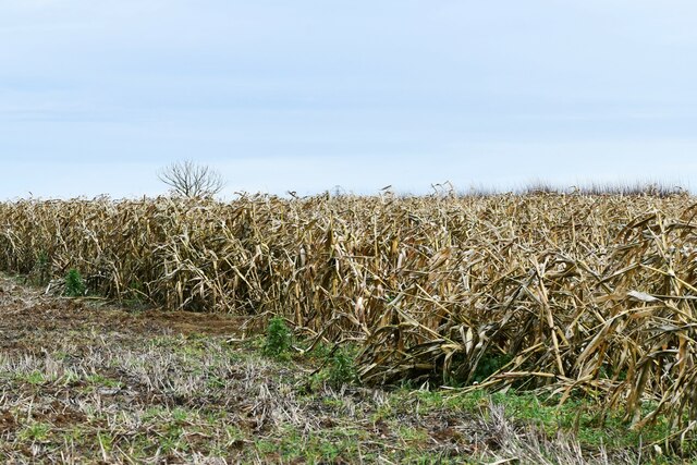
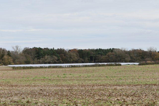
Craxe's Green Images
Images are sourced within 2km of 51.836155/0.82983529 or Grid Reference TL9519. Thanks to Geograph Open Source API. All images are credited.

Craxe's Green is located at Grid Ref: TL9519 (Lat: 51.836155, Lng: 0.82983529)
Administrative County: Essex
District: Colchester
Police Authority: Essex
What 3 Words
///payback.addicted.producing. Near Layer de la Haye, Essex
Nearby Locations
Related Wikis

Layer Breton
Layer Breton is a village and a civil parish in the City of Colchester district of Essex, England. According to the 2011 census there were 144 males and...

Birch, Essex
Birch is a village and civil parish in the City of Colchester district of Essex, England. It is located approximately 5 miles (8 km) south-west of Colchester...

Layer de la Haye
Layer de la Haye (often spelled Layer-de-la-Haye; locally known just as Layer) is a village and civil parish in the City of Colchester district of Essex...

Hardy's Green
Hardy's Green is a hamlet in civil parish of Birch in the Colchester district, in the county of Essex, England. Nearby settlements include the large town...
Nearby Amenities
Located within 500m of 51.836155,0.82983529Have you been to Craxe's Green?
Leave your review of Craxe's Green below (or comments, questions and feedback).