Library Spinney

Wood, Forest in Essex Colchester

England

Library Spinney

Junction of Church Road and Birch Road Layer de la Haye
Junction of Church Road and Birch Road Layer de la Haye Credit: PAUL FARMER

Library Spinney is a picturesque woodland located in the county of Essex, England. Nestled in the heart of the historic village of Wood, it offers a serene and tranquil escape from the bustling city life. With its dense forest cover and diverse range of flora and fauna, Library Spinney is a haven for nature enthusiasts and those seeking a peaceful retreat.

Spanning an area of approximately 50 acres, the woodland is primarily composed of oak, beech, and birch trees, which create a lush and vibrant canopy overhead. The forest floor is adorned with a carpet of wildflowers, ferns, and moss, adding to the enchanting beauty of the surroundings.

Library Spinney is home to a variety of wildlife, including deer, rabbits, squirrels, and a plethora of bird species. It serves as an important habitat for many rare and protected species, making it a significant conservation area within the region.

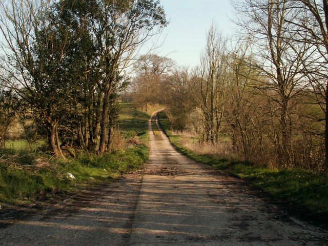
The woodland offers a network of well-maintained walking trails, allowing visitors to explore its natural wonders at their own pace. These trails offer breathtaking views of the surrounding landscape, including a small stream that meanders through the woods, adding to the serenity of the environment.

Library Spinney is not only a place of natural beauty but also holds historical significance. It is believed to have been part of the ancient woodland that once covered much of Essex, providing a glimpse into the area's rich heritage.

Overall, Library Spinney is a hidden gem in Essex, offering visitors a chance to connect with nature, relax, and rejuvenate amidst its tranquil and captivating setting.

If you have any feedback on the listing, please let us know in the comments section below.

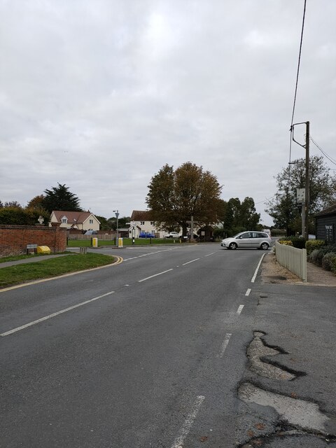
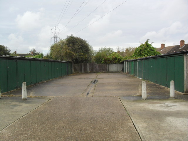
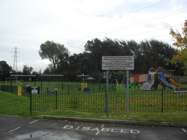
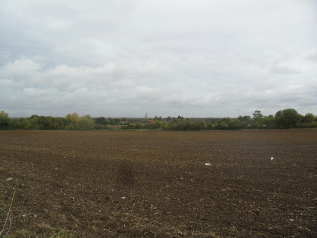
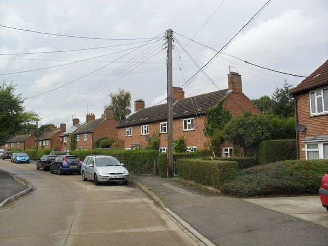
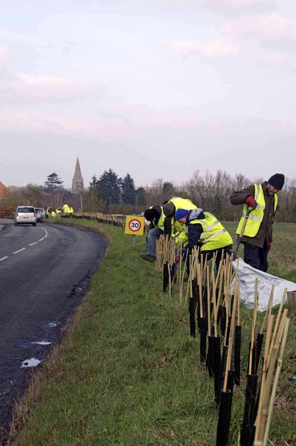
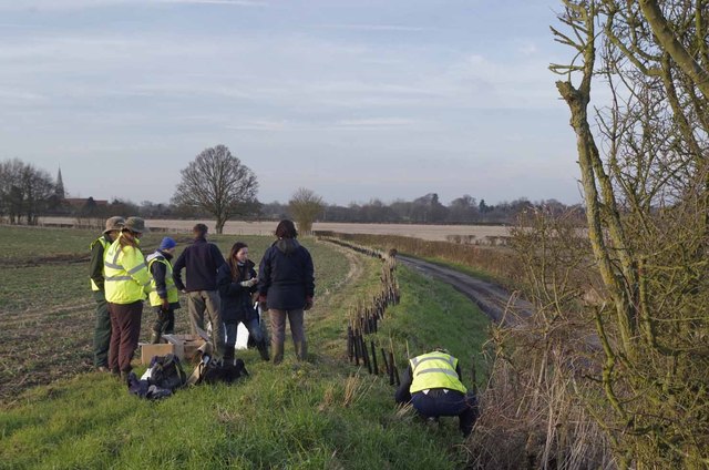
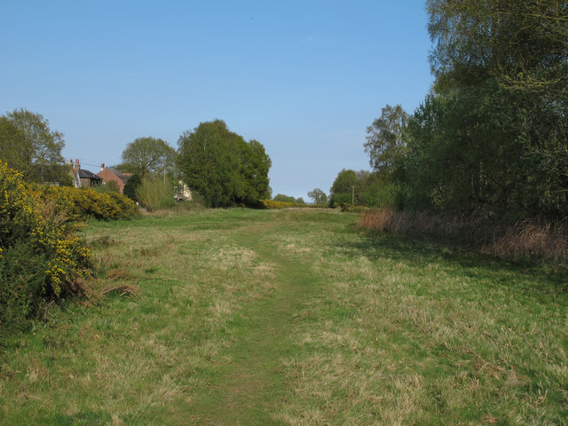
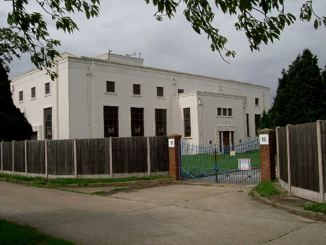
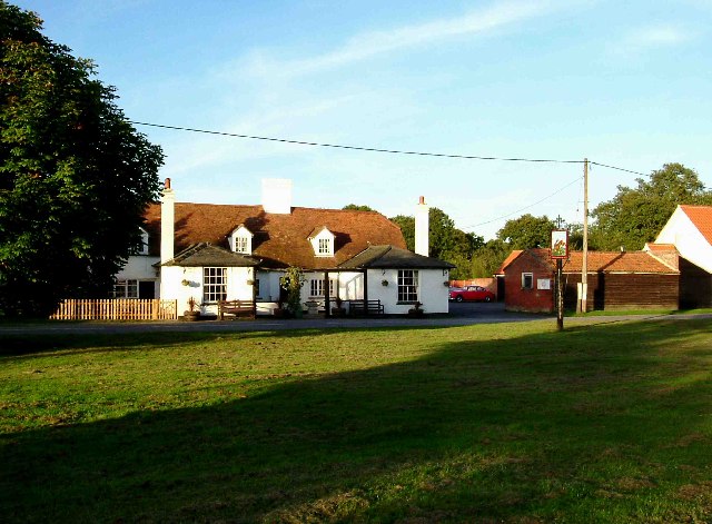
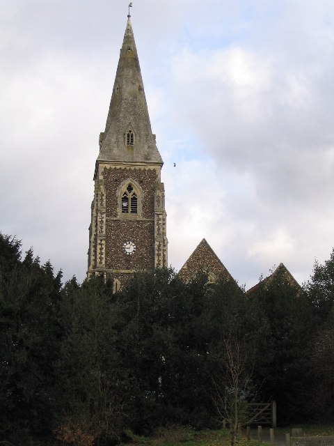
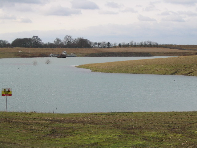
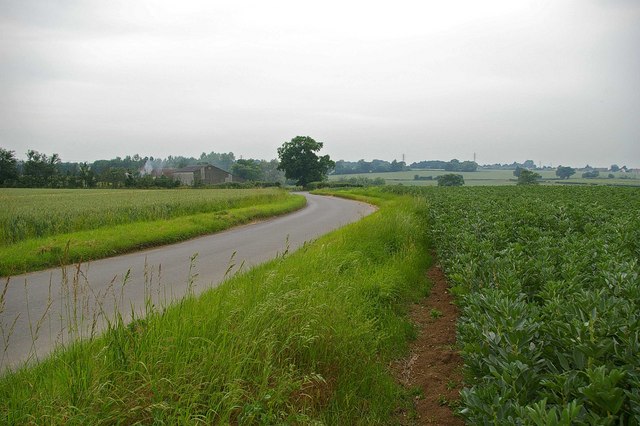
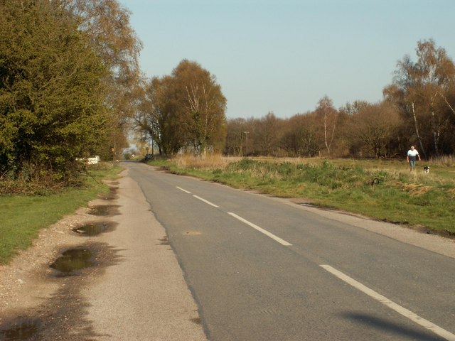
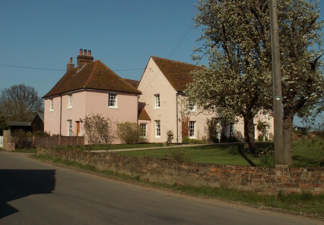
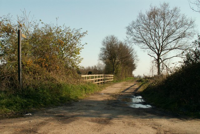
Library Spinney Images

Images are sourced within 2km of 51.849065/0.82853979 or Grid Reference TL9420. Thanks to Geograph Open Source API. All images are credited.

Junction of Church Road and Birch Road Layer de la Haye
Birch Green Garages behind Greenfield Houses.
Birch Green
Garages behind Greenfield Houses.
Birch Green Play area.
Birch Green
Play area.
Farmland near Birch Ploughed field with Birch church in the background.
Farmland near Birch
Ploughed field with Birch church in the background.
Greenfield Houses 1950s council houses.
Greenfield Houses
1950s council houses.
New Hedge In Birch Green When I was a nipper I remember this hedge-line being grubbed up, encouraged by the policies  and financial incentives of the Ministry of Agriculture. Today in order to qualify for the Higher Level Stewardship Scheme subsidies hedges are in fashion  once  more! <span class="nowrap"><a title="http://www.naturalengland.gov.uk/ourwork/farming/funding/es/hls/default.aspx" rel="nofollow ugc noopener" href="http://www.naturalengland.gov.uk/ourwork/farming/funding/es/hls/default.aspx">Link</a><img style="margin-left:2px;" alt="External link" title="External link - shift click to open in new window" src="https://s1.geograph.org.uk/img/external.png" width="10" height="10"/></span>
Here volunteers from The Essex Wildlife Trust <span class="nowrap"><a title="http://www.essexwt.org.uk/" rel="nofollow ugc noopener" href="http://www.essexwt.org.uk/">Link</a><img style="margin-left:2px;" alt="External link" title="External link - shift click to open in new window" src="https://s1.geograph.org.uk/img/external.png" width="10" height="10"/></span> Groundworks UK <span class="nowrap"><a title="http://www.groundwork.org.uk/" rel="nofollow ugc noopener" href="http://www.groundwork.org.uk/">Link</a><img style="margin-left:2px;" alt="External link" title="External link - shift click to open in new window" src="https://s1.geograph.org.uk/img/external.png" width="10" height="10"/></span> and staff from Anglian Water (many thanks for the lunch folks!) are replanting the hedge with a mixture of native species. This is part of the Four Parishes Living Landscapes Project <span class="nowrap"><a title="http://www.essexwt.org.uk/news/four_parishes_hedgerow_project/" rel="nofollow ugc noopener" href="http://www.essexwt.org.uk/news/four_parishes_hedgerow_project/">Link</a><img style="margin-left:2px;" alt="External link" title="External link - shift click to open in new window" src="https://s1.geograph.org.uk/img/external.png" width="10" height="10"/></span>  that aims to restore four kilometres of hedgerow to provide a wildlife corridor between the dormice populations on <a href="https://www.geograph.org.uk/photo/153919">TL8714 : Tiptree Heath</a> and <a href="https://www.geograph.org.uk/photo/142671">TL9721 : Roman River Reserve</a>. The landowners get free trees and labour in exchange for a commitment to maintain the new hedge. See the end of the days toil at <a href="https://www.geograph.org.uk/photo/3352276">TL9419 : New Hedge in Pudding Lane</a> and the results of a previous sortie at
 <a href="https://www.geograph.org.uk/photo/3352294">TL9318 : New Hedge on Winter's Hill</a>
New Hedge In Birch Green
When I was a nipper I remember this hedge-line being grubbed up, encouraged by the policies and financial incentives of the Ministry of Agriculture. Today in order to qualify for the Higher Level Stewardship Scheme subsidies hedges are in fashion once more! LinkExternal link Here volunteers from The Essex Wildlife Trust LinkExternal link Groundworks UK LinkExternal link and staff from Anglian Water (many thanks for the lunch folks!) are replanting the hedge with a mixture of native species. This is part of the Four Parishes Living Landscapes Project LinkExternal link that aims to restore four kilometres of hedgerow to provide a wildlife corridor between the dormice populations on TL8714 : Tiptree Heath and TL9721 : Roman River Reserve. The landowners get free trees and labour in exchange for a commitment to maintain the new hedge. See the end of the days toil at TL9419 : New Hedge in Pudding Lane and the results of a previous sortie at TL9318 : New Hedge on Winter's Hill
New Hedge in Pudding Lane When I was a nipper I remember the hedges round here being grubbed up, encouraged by the policies  and financial incentives  of  the Ministry of Agriculture. Today in order to qualify for the Higher Level Stewardship Scheme subsidies hedges are in fashion  once  more <span class="nowrap"><a title="http://www.naturalengland.gov.uk/ourwork/farming/funding/es/hls/default.aspx" rel="nofollow ugc noopener" href="http://www.naturalengland.gov.uk/ourwork/farming/funding/es/hls/default.aspx">Link</a><img style="margin-left:2px;" alt="External link" title="External link - shift click to open in new window" src="https://s1.geograph.org.uk/img/external.png" width="10" height="10"/></span>
Here volunteers from The Essex Wildlife Trust <span class="nowrap"><a title="http://www.essexwt.org.uk/" rel="nofollow ugc noopener" href="http://www.essexwt.org.uk/">Link</a><img style="margin-left:2px;" alt="External link" title="External link - shift click to open in new window" src="https://s1.geograph.org.uk/img/external.png" width="10" height="10"/></span> Groundworks UK <span class="nowrap"><a title="http://www.groundwork.org.uk/" rel="nofollow ugc noopener" href="http://www.groundwork.org.uk/">Link</a><img style="margin-left:2px;" alt="External link" title="External link - shift click to open in new window" src="https://s1.geograph.org.uk/img/external.png" width="10" height="10"/></span> and staff from Anglian Water are just completing  a days work replanting the hedge with a mixture of native species. This is part of the four Parishes Living Landscapes Project <span class="nowrap"><a title="http://www.essexwt.org.uk/news/four_parishes_hedgerow_project/" rel="nofollow ugc noopener" href="http://www.essexwt.org.uk/news/four_parishes_hedgerow_project/">Link</a><img style="margin-left:2px;" alt="External link" title="External link - shift click to open in new window" src="https://s1.geograph.org.uk/img/external.png" width="10" height="10"/></span>  that aims to restore four kilometres of hedgerow to provide a wildlife corridor between the dormice populations on  <a href="https://www.geograph.org.uk/photo/153919">TL8714 : Tiptree Heath</a> and <a href="https://www.geograph.org.uk/photo/142671">TL9721 : Roman River Reserve</a>. The landowners get free trees and labour in exchange for a commitment to maintain the new hedge. See the start of the days toil at <a href="https://www.geograph.org.uk/photo/3352267">TL9419 : New Hedge In Birch Green</a> and the results of a previous sortie at
 <a href="https://www.geograph.org.uk/photo/3352294">TL9318 : New Hedge on Winter's Hill</a>
New Hedge in Pudding Lane
When I was a nipper I remember the hedges round here being grubbed up, encouraged by the policies and financial incentives of the Ministry of Agriculture. Today in order to qualify for the Higher Level Stewardship Scheme subsidies hedges are in fashion once more LinkExternal link Here volunteers from The Essex Wildlife Trust LinkExternal link Groundworks UK LinkExternal link and staff from Anglian Water are just completing a days work replanting the hedge with a mixture of native species. This is part of the four Parishes Living Landscapes Project LinkExternal link that aims to restore four kilometres of hedgerow to provide a wildlife corridor between the dormice populations on TL8714 : Tiptree Heath and TL9721 : Roman River Reserve. The landowners get free trees and labour in exchange for a commitment to maintain the new hedge. See the start of the days toil at TL9419 : New Hedge In Birch Green and the results of a previous sortie at TL9318 : New Hedge on Winter's Hill
Layer Breton Heath Layer Breton Heath is currently being actively restored to a more traditional heathland, with the thinning of birches and management of gorse: The intention  is to restore a significant amount back to acid grassland, while retaining woodland and several large areas of scrub. See <span class="nowrap"><a title="http://www.bretonheath.me.uk/LB-heath.htm" rel="nofollow ugc noopener" href="http://www.bretonheath.me.uk/LB-heath.htm">Link</a><img style="margin-left:2px;" alt="External link" title="External link - shift click to open in new window" src="https://s1.geograph.org.uk/img/external.png" width="10" height="10"/></span> <span class="nowrap"><a title="http://www.webcitation.org/6GRJAokbg" rel="nofollow ugc noopener" href="http://www.webcitation.org/6GRJAokbg">Link</a><img style="margin-left:2px;" alt="External link" title="External link - shift click to open in new window" src="https://s1.geograph.org.uk/img/external.png" width="10" height="10"/></span>
Layer Breton Heath
Layer Breton Heath is currently being actively restored to a more traditional heathland, with the thinning of birches and management of gorse: The intention is to restore a significant amount back to acid grassland, while retaining woodland and several large areas of scrub. See LinkExternal link LinkExternal link
Pumping Station A typical piece of 1930's architecture, the pump house for Abberton Reservoir.
Pumping Station
A typical piece of 1930's architecture, the pump house for Abberton Reservoir.
Hare & Hounds at Layer Bretton Heath This is the Hare & Hounds at Layer Bretton Heath. The piece of green in the foreground is the only bit of ground that remotely resembles a heath now. Over the past 30 years due to lack of grazing and control of grass fires the view from the pub has changed from open grassland and bramble bushes to young broad leaf woodland.
Hare & Hounds at Layer Bretton Heath
This is the Hare & Hounds at Layer Bretton Heath. The piece of green in the foreground is the only bit of ground that remotely resembles a heath now. Over the past 30 years due to lack of grazing and control of grass fires the view from the pub has changed from open grassland and bramble bushes to young broad leaf woodland.
St. Peter's Church In the village of Birch
St. Peter's Church
In the village of Birch
Lake made from gravel pit There are a lot of gravel pits in the Colchester area
Lake made from gravel pit
There are a lot of gravel pits in the Colchester area
Crop Rotation? at Garlands Farm This lane connects Layer Bretton and Garlands Farm (in the background). The shot seems to show half of the classic Norfolk four-course rotation scheme with legumes to the right and cereal to the left.
Crop Rotation? at Garlands Farm
This lane connects Layer Bretton and Garlands Farm (in the background). The shot seems to show half of the classic Norfolk four-course rotation scheme with legumes to the right and cereal to the left.
The road from Birch Green to Layer de la Haye
The farmhouse at Garlands farm
Public footpath and track to Nevards Farm
Pudding Lane, on the way to Birch St. Peter's church can be seen in the distance.
Pudding Lane, on the way to Birch
St. Peter's church can be seen in the distance.
Caper Lane; also a public footpath
Show me another place!

Library Spinney is located at Grid Ref: TL9420 (Lat: 51.849065, Lng: 0.82853979)

Administrative County: Essex

District: Colchester

Police Authority: Essex

What 3 Words

///clothed.themes.ghost. Near Layer de la Haye, Essex

Related Wikis

Birch, Essex

Birch is a village and civil parish in the City of Colchester district of Essex, England. It is located approximately 5 miles (8 km) south-west of Colchester...

Heckfordbridge

Heckfordbridge or Heckford is a hamlet in the civil parish of Birch, in the county of Essex, England. The settlement is on the B1022 road, between Colchester...

Colchester Zoo

Colchester Zoo is a zoological garden situated near Colchester, England. The zoo opened in 1963 and celebrated its 60th anniversary on 2 June 2023. It...

Hardy's Green

Hardy's Green is a hamlet in civil parish of Birch in the Colchester district, in the county of Essex, England. Nearby settlements include the large town...

Layer de la Haye

Layer de la Haye (often spelled Layer-de-la-Haye; locally known just as Layer) is a village and civil parish in the City of Colchester district of Essex...

Layer Breton

Layer Breton is a village and a civil parish in the City of Colchester district of Essex, England. According to the 2011 census there were 144 males and...

Roman River Valley

Roman River Valley is a 17.8-hectare (44-acre) nature reserve north of Layer de la Haye in Essex. It is managed by the Essex Wildlife Trust.This wetland...

Copford Hall

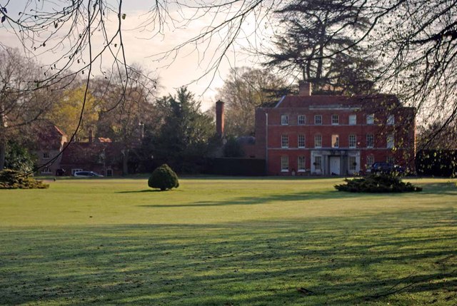
Copford Hall is a manorial seat and Grade II listed country house, with gardens by Capability Brown, in the village of Copford, Essex, England, 46 miles...

Nearby Amenities

Located within 500m of 51.849065,0.82853979
Turning Loop
Lat/Long: 51.8514189/0.8321491
The data included in this document is from www.openstreetmap.org. The data is made available under ODbL.

Have you been to Library Spinney?

Leave your review of Library Spinney below (or comments, questions and feedback).