Coronation Grove
Wood, Forest in Essex Colchester
England
Coronation Grove
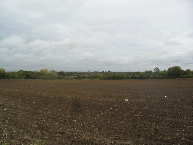
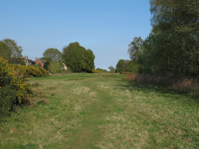
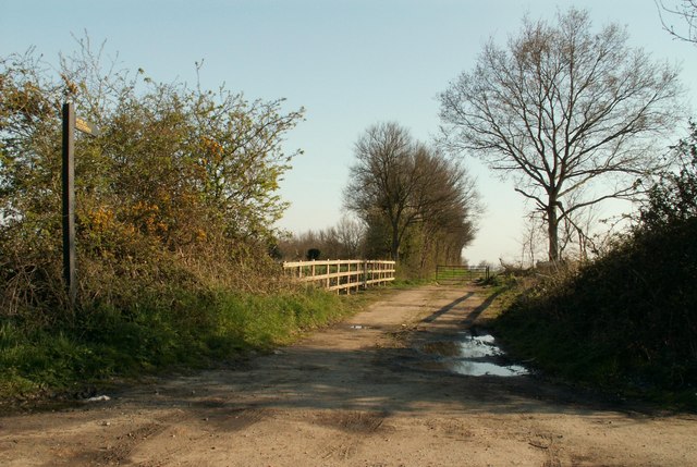
Coronation Grove is a picturesque woodland located in the county of Essex, England. Situated near the village of Wood, it forms part of a larger forested area that covers approximately 300 acres. The grove is renowned for its natural beauty and serves as a popular destination for nature enthusiasts and hikers alike.
The woodland is predominantly composed of broadleaf trees, including oak, beech, and birch, which create a dense canopy overhead. This lush vegetation provides a sanctuary for a diverse range of wildlife, including various bird species, squirrels, and occasional deer sightings. The forest floor is covered in a carpet of ferns, wildflowers, and moss, adding to the area's enchanting atmosphere.
Several well-maintained walking trails wind their way through Coronation Grove, offering visitors the opportunity to explore its hidden treasures. These paths are suitable for all fitness levels and are easily navigated, making it an ideal location for families and casual walkers. Along the way, benches and picnic areas are strategically placed, allowing visitors to pause and appreciate the tranquility of the surroundings.
The grove is also home to a small stream that meanders through the woodland, adding a touch of serenity to the already idyllic setting. The sound of babbling water and the sight of dappled sunlight filtering through the trees create a truly magical ambiance.
Coronation Grove is open to the public year-round and admission is free. With its abundant flora and fauna, peaceful atmosphere, and well-maintained trails, this woodland gem in Essex is a must-visit destination for those seeking a connection with nature.
If you have any feedback on the listing, please let us know in the comments section below.
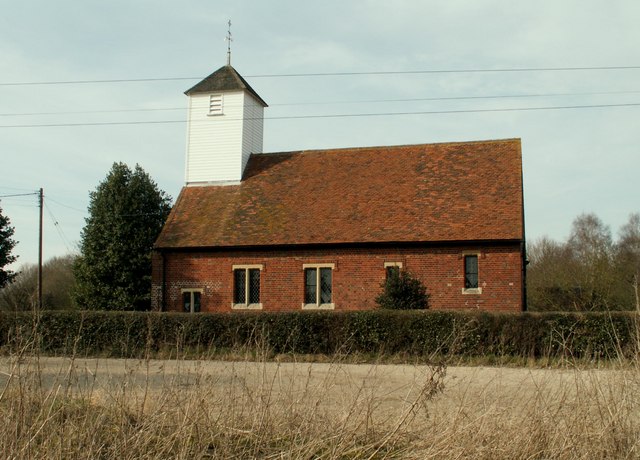
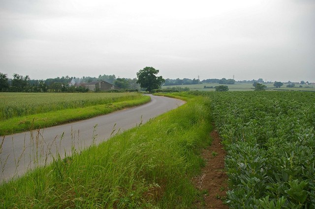
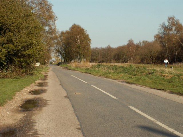
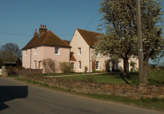
Coronation Grove Images
Images are sourced within 2km of 51.848755/0.82457057 or Grid Reference TL9420. Thanks to Geograph Open Source API. All images are credited.

Coronation Grove is located at Grid Ref: TL9420 (Lat: 51.848755, Lng: 0.82457057)
Administrative County: Essex
District: Colchester
Police Authority: Essex
What 3 Words
///roadways.expect.distorts. Near Layer de la Haye, Essex
Nearby Locations
Related Wikis

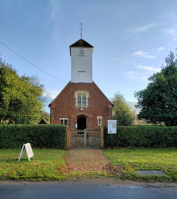
Birch, Essex
Birch is a village and civil parish in the City of Colchester district of Essex, England. It is located approximately 5 miles (8 km) south-west of Colchester...

Heckfordbridge
Heckfordbridge or Heckford is a hamlet in the civil parish of Birch, in the county of Essex, England. The settlement is on the B1022 road, between Colchester...

Hardy's Green
Hardy's Green is a hamlet in civil parish of Birch in the Colchester district, in the county of Essex, England. Nearby settlements include the large town...

Colchester Zoo
Colchester Zoo is a zoological garden situated near Colchester, England. The zoo opened in 1963 and celebrated its 60th anniversary on 2 June 2023. It...

Layer Breton
Layer Breton is a village and a civil parish in the City of Colchester district of Essex, England. According to the 2011 census there were 144 males and...

Layer de la Haye
Layer de la Haye (often spelled Layer-de-la-Haye; locally known just as Layer) is a village and civil parish in the City of Colchester district of Essex...
Copford Hall
Copford Hall is a manorial seat and Grade II listed country house, with gardens by Capability Brown, in the village of Copford, Essex, England, 46 miles...

Copford Green
Copford Green is a hamlet within the civil parish of Copford and the district of Colchester in Essex, England. It is near the A12 and A120 roads, and is...
Related Videos

Colchester Zoo Walking Tour England | United Kingdom 🏴
Hi Guys Welcome Back To Another Video Colchester Zoo Walking Tour England | United Kingdom Colchester Zoo is a ...
30 października 2023
Saturday walk in the woods #woods #natureshorts #forest #trees #naturephotographylovers #photographylife #outdoors #wood ...

Colchester Zoo
Join Alfie for another UK Trip Out, Today It's Colchester Zoo in Essex.

Colchester Zoo Day Trip!
Genevieve 2nd Birthday Feb 2020 Gear Canon PowerShot G7 X Mark II Original Music www.bensound.com.
Have you been to Coronation Grove?
Leave your review of Coronation Grove below (or comments, questions and feedback).