Whitehorse Plantation
Wood, Forest in Essex Colchester
England
Whitehorse Plantation
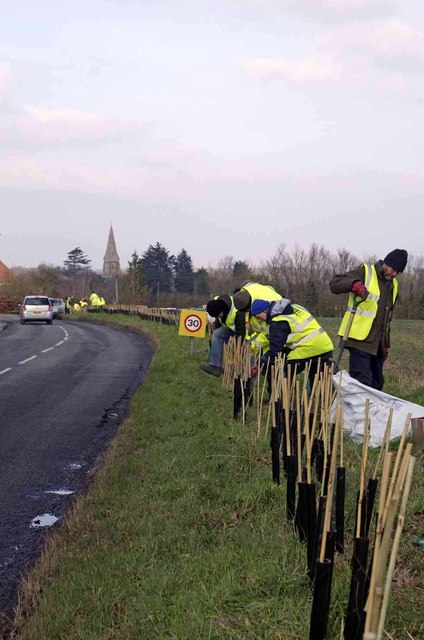
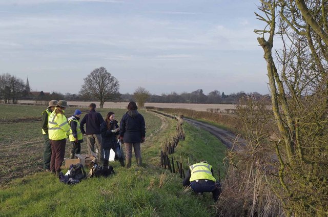
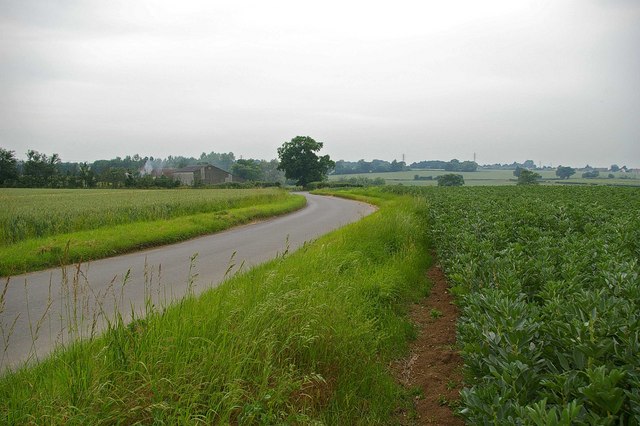
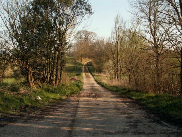
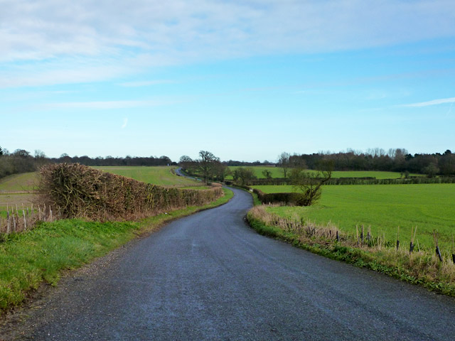
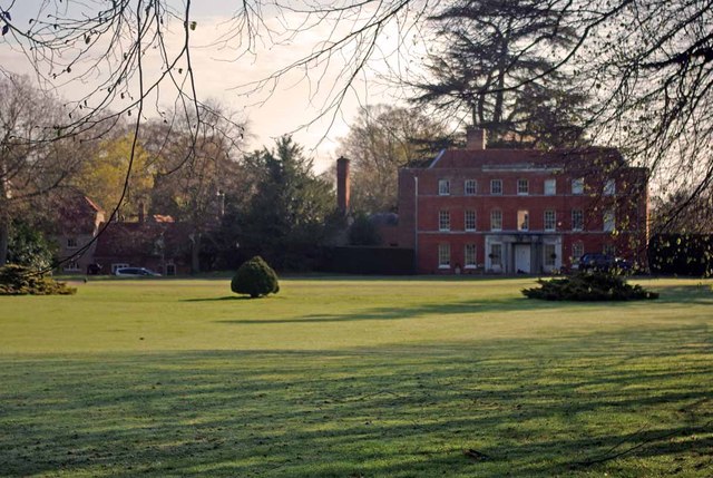
Whitehorse Plantation, located in Essex, is a large wooded area known for its diverse range of plant species and beautiful forest landscapes. Covering an extensive area, the plantation is a popular destination for nature enthusiasts and hikers alike.
The plantation is named after the white horse, which is a symbol of purity and strength. This adds to the allure and mystique of the area, drawing in visitors who are seeking a serene and tranquil environment. The main attraction of Whitehorse Plantation is its well-preserved forest, which is home to numerous tree species including oak, birch, and beech. These trees provide a dense canopy, creating a shady and peaceful atmosphere.
The plantation is also home to a variety of wildlife, making it a haven for nature lovers. Visitors might spot deer, squirrels, rabbits, and a wide range of bird species while exploring the area. The plantation's rich biodiversity attracts researchers and scientists who study the local ecosystem and its inhabitants.
For those interested in outdoor activities, Whitehorse Plantation offers several walking trails of varying difficulty levels. These trails wind through the picturesque forest, allowing visitors to immerse themselves in the natural beauty of the area. Along the way, there are designated picnic spots and benches, providing opportunities for visitors to relax and enjoy the surroundings.
Overall, Whitehorse Plantation in Essex is a breathtaking destination for anyone seeking a peaceful escape into nature. Its dense forest, diverse wildlife, and well-maintained walking trails make it an ideal place to unwind and reconnect with the natural world.
If you have any feedback on the listing, please let us know in the comments section below.
Whitehorse Plantation Images
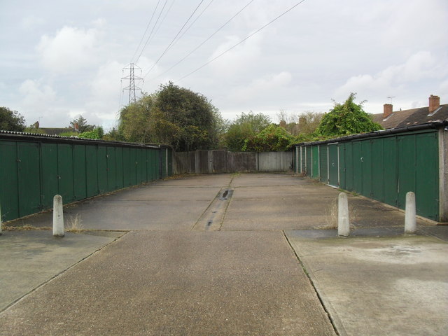
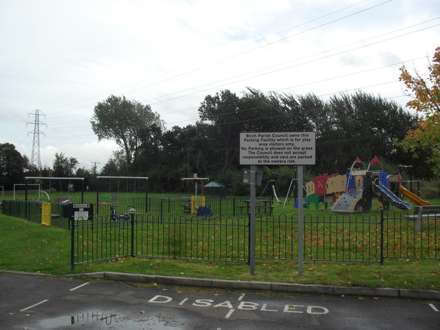
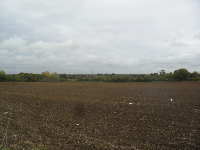
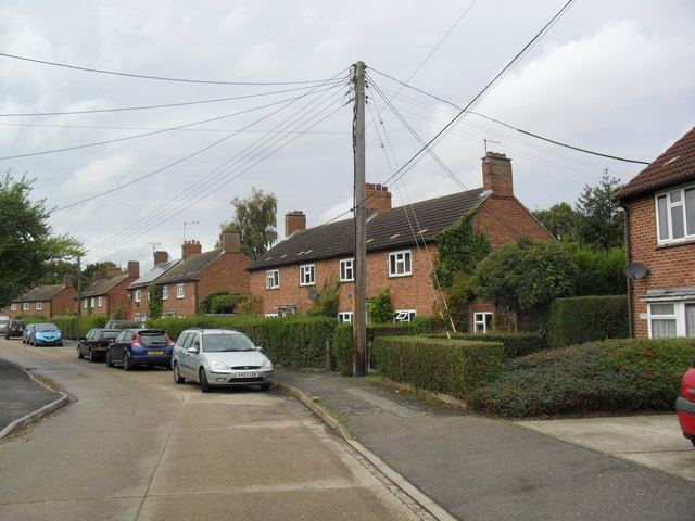
Images are sourced within 2km of 51.852579/0.81889939 or Grid Reference TL9420. Thanks to Geograph Open Source API. All images are credited.


Whitehorse Plantation is located at Grid Ref: TL9420 (Lat: 51.852579, Lng: 0.81889939)
Administrative County: Essex
District: Colchester
Police Authority: Essex
What 3 Words
///blip.strutted.engine. Near Layer de la Haye, Essex
Nearby Locations
Related Wikis

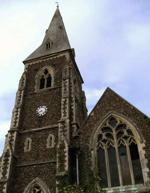
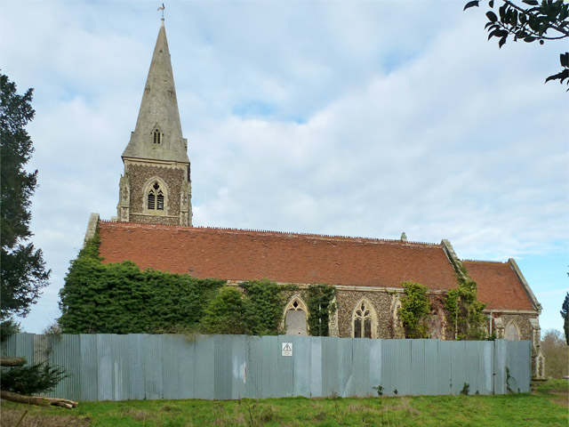
Birch, Essex
Birch is a village and civil parish in the City of Colchester district of Essex, England. It is located approximately 5 miles (8 km) south-west of Colchester...

Heckfordbridge
Heckfordbridge or Heckford is a hamlet in the civil parish of Birch, in the county of Essex, England. The settlement is on the B1022 road, between Colchester...

Hardy's Green
Hardy's Green is a hamlet in civil parish of Birch in the Colchester district, in the county of Essex, England. Nearby settlements include the large town...

Colchester Zoo
Colchester Zoo is a zoological garden situated near Colchester, England. The zoo opened in 1963 and celebrated its 60th anniversary on 2 June 2023. It...
Copford Hall
Copford Hall is a manorial seat and Grade II listed country house, with gardens by Capability Brown, in the village of Copford, Essex, England, 46 miles...

Copford Green
Copford Green is a hamlet within the civil parish of Copford and the district of Colchester in Essex, England. It is near the A12 and A120 roads, and is...

Layer Breton
Layer Breton is a village and a civil parish in the City of Colchester district of Essex, England. According to the 2011 census there were 144 males and...

RAF Birch
Royal Air Force Birch or more simply RAF Birch is a former Royal Air Force station in Essex, England. The airfield is located 2 mi (3.2 km) northeast...
Nearby Amenities
Located within 500m of 51.852579,0.81889939Have you been to Whitehorse Plantation?
Leave your review of Whitehorse Plantation below (or comments, questions and feedback).