Elm Wood
Wood, Forest in Suffolk Mid Suffolk
England
Elm Wood

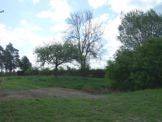
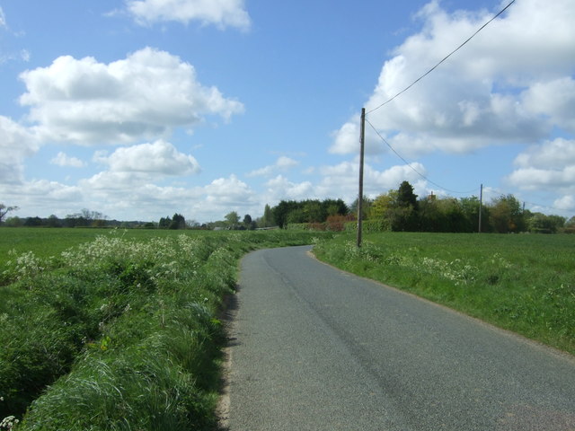
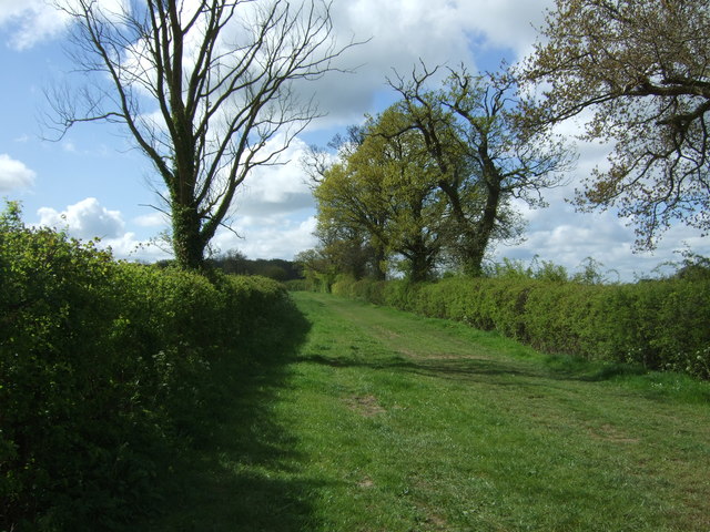
Elm Wood is a picturesque forest located in Suffolk, England. Spread across a vast area, the wood is known for its dense population of elm trees, which lend it its name. The forest is nestled in a rural setting, surrounded by rolling hills and idyllic countryside.
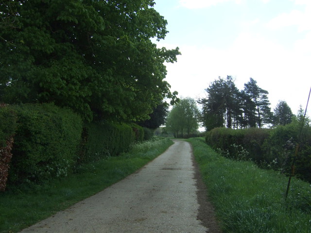
Elm Wood is renowned for its natural beauty and is a popular destination for nature enthusiasts and hikers. The forest boasts an extensive network of well-maintained trails that meander through the woods, providing visitors with the opportunity to explore its diverse flora and fauna. The towering elm trees create a tranquil ambiance, offering a respite from the hustle and bustle of daily life.
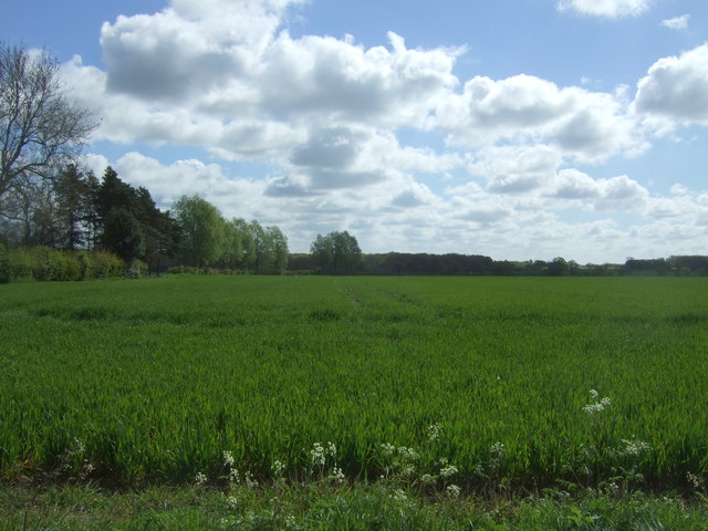
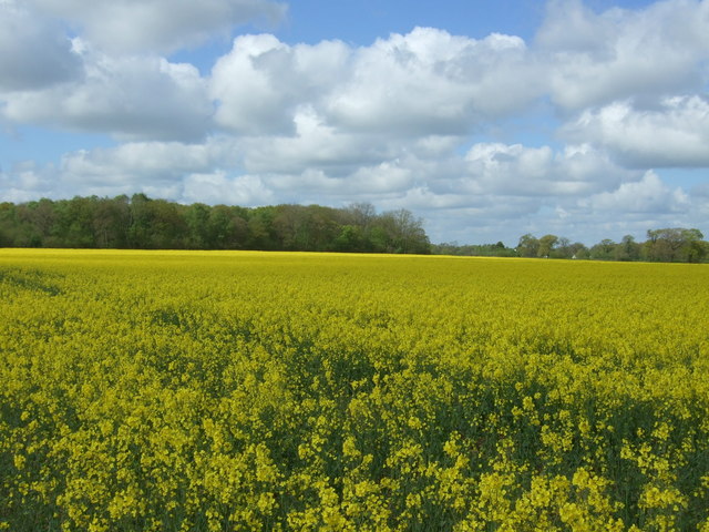
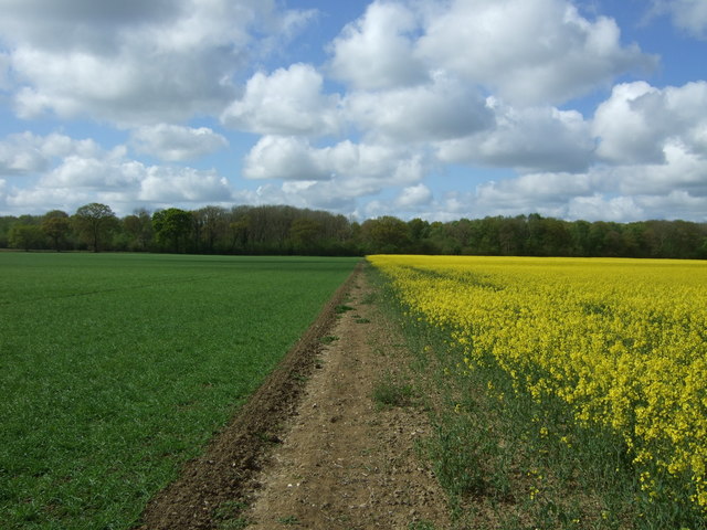
The forest is home to a wide range of wildlife, including deer, foxes, rabbits, and various species of birds. Birdwatchers can often spot rare and migratory birds within the woodlands. The forest floor is adorned with a vibrant carpet of wildflowers during the spring and summer months, adding bursts of color to the landscape.
Elm Wood also holds historical significance. It is believed that the forest has been in existence for centuries, with evidence of human presence dating back to ancient times. The wood has witnessed generations of people who have relied on its resources for shelter, fuel, and sustenance.
With its enchanting beauty and rich history, Elm Wood is a true gem of Suffolk. It offers a serene escape into nature, allowing visitors to immerse themselves in the tranquility of the forest and appreciate the wonders of the natural world.
If you have any feedback on the listing, please let us know in the comments section below.
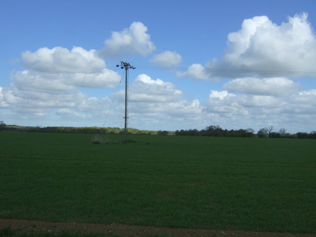
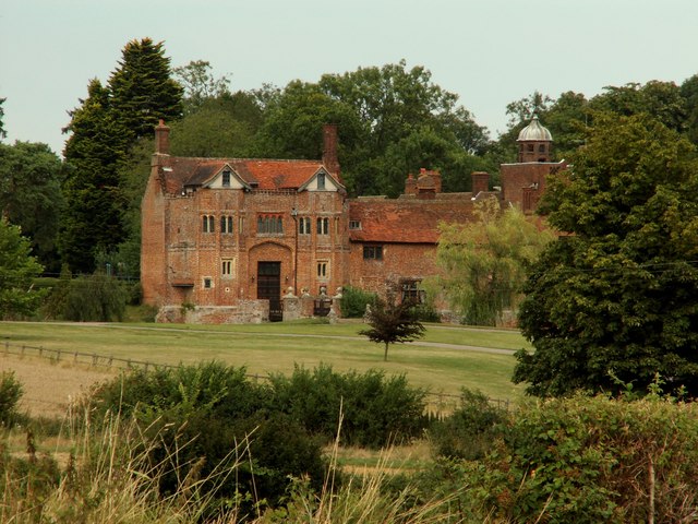
Elm Wood Images
Images are sourced within 2km of 52.201799/0.82258901 or Grid Reference TL9259. Thanks to Geograph Open Source API. All images are credited.


Elm Wood is located at Grid Ref: TL9259 (Lat: 52.201799, Lng: 0.82258901)
Administrative County: Suffolk
District: Mid Suffolk
Police Authority: Suffolk
What 3 Words
///bugs.stretcher.connected. Near Woolpit, Suffolk
Nearby Locations
Related Wikis

Bradfield St George
Bradfield St. George is a village and civil parish in the West Suffolk district of Suffolk, England, about 6 miles (9.7 km) south of Bury St Edmunds. According...

Hessett
Hessett is a village and civil parish in the Mid Suffolk district of Suffolk in eastern England. Hessett is located around four miles south east of Bury...

Drinkstone
Drinkstone is a small settlement and civil parish in Suffolk, England. Its name is derived from Dremic's homestead. It was located in the hundred of Thedwastre...

Bradfield Woods
Bradfield Woods is an 81.4-hectare (201-acre) biological Site of Special Scientific Interest between Bury St Edmunds and Stowmarket in Suffolk. The site...

Church of St Clare, Bradfield
The Church of St Clare, Bradfield is the Anglican parish church of Bradfield St Clare, in the district of West Suffolk, Suffolk. The original structure...

St Margaret's Church, Westhorpe
St Margaret's Church is the parish church of Westhorpe, Suffolk, England. It is part of the Badwell and Walsham Benefice. It is a Grade I listed building...
Gedding
Gedding is a village and civil parish in the Mid Suffolk district of Suffolk in eastern England. Located around six miles south east of Bury St Edmunds...
Bradfield St Clare
Bradfield St. Clare is a village and civil parish in the West Suffolk district of Suffolk, England. According to Eilert Ekwall, the meaning of the village...
Nearby Amenities
Located within 500m of 52.201799,0.82258901Have you been to Elm Wood?
Leave your review of Elm Wood below (or comments, questions and feedback).