Mardlands Wood
Wood, Forest in Suffolk West Suffolk
England
Mardlands Wood

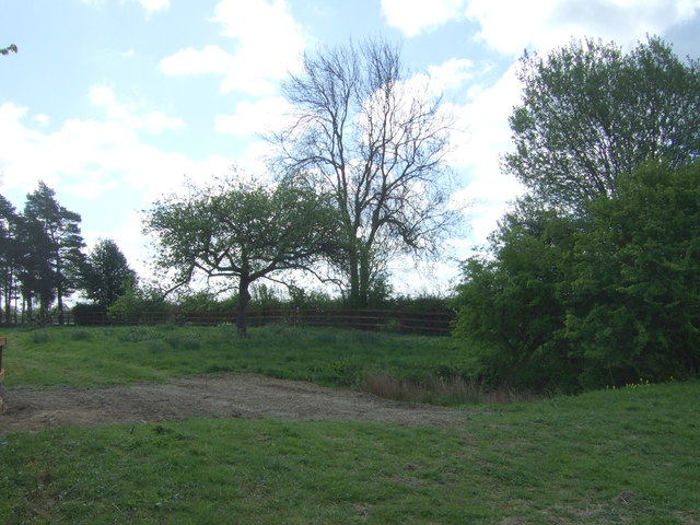
Mardlands Wood, located in the county of Suffolk in England, is a picturesque and serene forest area that stretches over a vast expanse of land. With its captivating natural beauty and diverse ecosystem, this woodland is a favorite destination for nature enthusiasts and explorers alike.
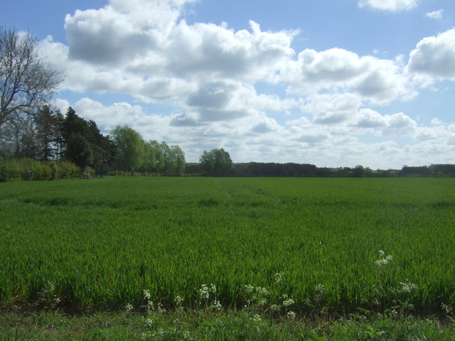
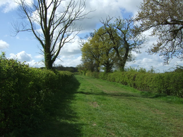
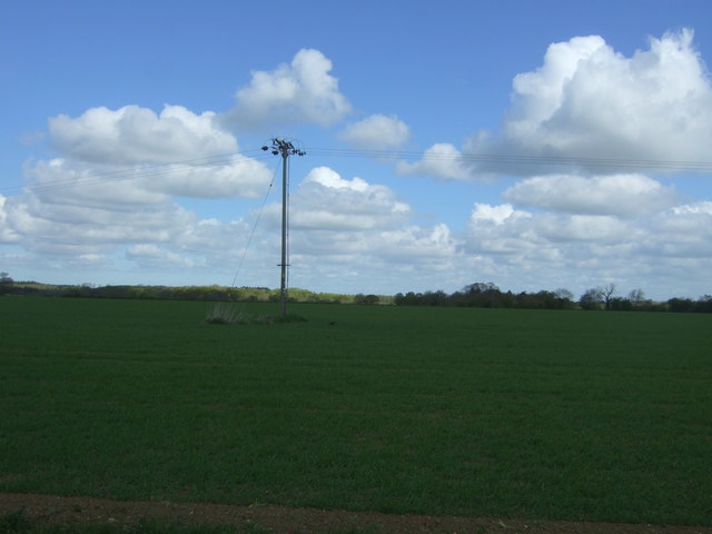
Covering an area of approximately 300 acres, Mardlands Wood is predominantly characterized by a mix of deciduous and coniferous trees, including oak, birch, beech, and pine. The dense canopy created by these trees forms a cool and refreshing ambiance, providing refuge from the scorching summer heat. In the autumn, the forest is adorned with a rich palette of vibrant colors as the leaves change, creating a breathtaking sight.
The woodland is home to a wide range of wildlife species, including deer, foxes, badgers, and numerous bird species. Visitors may catch glimpses of these creatures during their walks or hikes through the forest, adding an element of excitement to their experience.
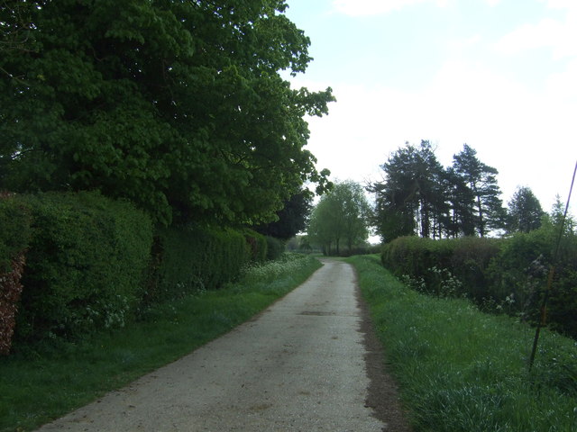
Mardlands Wood offers a variety of walking trails and paths, catering to different skill levels. Whether one prefers a leisurely stroll or a more challenging hike, there is something for everyone. The forest also includes picnic areas, allowing visitors to relax and enjoy a meal amidst the tranquility of nature.
Managed by the local authorities, Mardlands Wood is well-maintained and offers ample parking facilities for visitors. It is open to the public year-round, with free admission, making it easily accessible for locals and tourists alike.
In conclusion, Mardlands Wood in Suffolk is a captivating forest area that offers a serene escape from the hustle and bustle of daily life. Its diverse flora and fauna, coupled with its well-maintained trails, make it a must-visit destination for those seeking to immerse themselves in the beauty of nature.
If you have any feedback on the listing, please let us know in the comments section below.
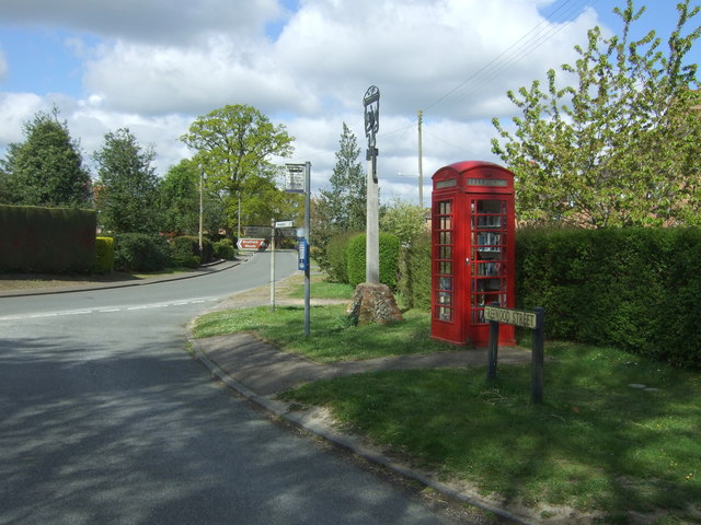
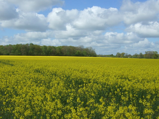
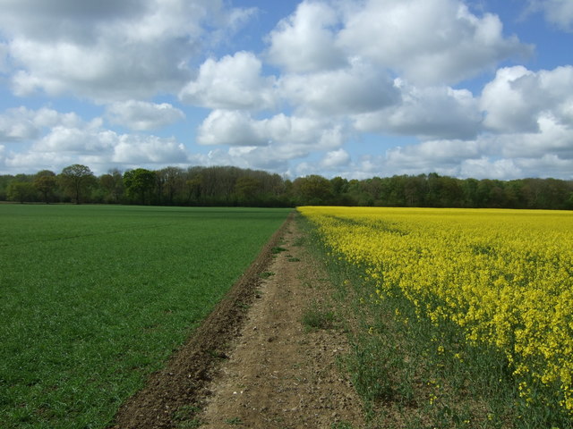
Mardlands Wood Images
Images are sourced within 2km of 52.198108/0.82200378 or Grid Reference TL9259. Thanks to Geograph Open Source API. All images are credited.


Mardlands Wood is located at Grid Ref: TL9259 (Lat: 52.198108, Lng: 0.82200378)
Administrative County: Suffolk
District: West Suffolk
Police Authority: Suffolk
What 3 Words
///eager.laminated.pulled. Near Woolpit, Suffolk
Nearby Locations
Related Wikis

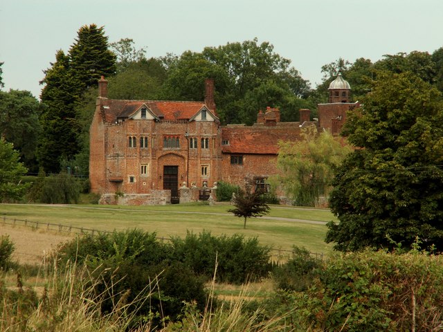
Bradfield St George
Bradfield St. George is a village and civil parish in the West Suffolk district of Suffolk, England, about 6 miles (9.7 km) south of Bury St Edmunds. According...

Bradfield Woods
Bradfield Woods is an 81.4-hectare (201-acre) biological Site of Special Scientific Interest between Bury St Edmunds and Stowmarket in Suffolk. The site...

Hessett
Hessett is a village and civil parish in the Mid Suffolk district of Suffolk in eastern England. Hessett is located around four miles south east of Bury...

Drinkstone
Drinkstone is a small settlement and civil parish in Suffolk, England. Its name is derived from Dremic's homestead. It was located in the hundred of Thedwastre...

Church of St Clare, Bradfield
The Church of St Clare, Bradfield is the Anglican parish church of Bradfield St Clare, in the district of West Suffolk, Suffolk. The original structure...

St Margaret's Church, Westhorpe
St Margaret's Church is the parish church of Westhorpe, Suffolk, England. It is part of the Badwell and Walsham Benefice. It is a Grade I listed building...
Bradfield St Clare
Bradfield St. Clare is a village and civil parish in the West Suffolk district of Suffolk, England. According to Eilert Ekwall, the meaning of the village...
Gedding
Gedding is a village and civil parish in the Mid Suffolk district of Suffolk in eastern England. Located around six miles south east of Bury St Edmunds...
Nearby Amenities
Located within 500m of 52.198108,0.82200378Have you been to Mardlands Wood?
Leave your review of Mardlands Wood below (or comments, questions and feedback).