Gorse Covert
Wood, Forest in Suffolk West Suffolk
England
Gorse Covert

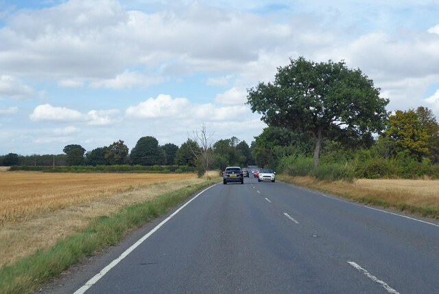
Gorse Covert, Suffolk is a picturesque wood located in the eastern region of England, known for its dense forest and natural beauty. Situated in the county of Suffolk, it covers an area of approximately 200 acres, making it one of the largest woodlands in the region.
The wood is predominantly composed of various species of trees, including oak, beech, and birch, which create a lush canopy that provides shelter for a wide range of wildlife. It is also home to an abundance of plants and flowers, making it an ideal habitat for many species of birds, mammals, and insects.
Gorse Covert offers a peaceful and tranquil environment for visitors, with numerous walking trails and footpaths that wind through the woods, allowing people to explore and appreciate the natural wonders it has to offer. The forest also features a small lake, which adds to its charm and attracts waterfowl and other aquatic creatures.
The wood is popular among nature enthusiasts, hikers, and birdwatchers, who flock to Gorse Covert to observe the diverse range of wildlife. It is also a haven for photographers, as it provides a stunning backdrop for capturing the beauty of nature.
Gorse Covert is managed and maintained by the local authorities, who ensure the preservation of its natural habitats and keep the trails accessible for visitors. The wood is open to the public year-round and offers a peaceful retreat from the hustle and bustle of everyday life.
If you have any feedback on the listing, please let us know in the comments section below.
Gorse Covert Images
Images are sourced within 2km of 52.183785/0.77337207 or Grid Reference TL8957. Thanks to Geograph Open Source API. All images are credited.


Gorse Covert is located at Grid Ref: TL8957 (Lat: 52.183785, Lng: 0.77337207)
Administrative County: Suffolk
District: West Suffolk
Police Authority: Suffolk
What 3 Words
///automate.blatantly.dignify. Near Thurston, Suffolk
Nearby Locations
Related Wikis
Bradfield Combust
Bradfield Combust (or Burnt Bradfield) is a village and former manor and civil parish, now in the parish of Bradfield Combust with Stanningfield, the West...

Bradfield St Clare
Bradfield St. Clare is a village and civil parish in the West Suffolk district of Suffolk, England. According to Eilert Ekwall, the meaning of the village...
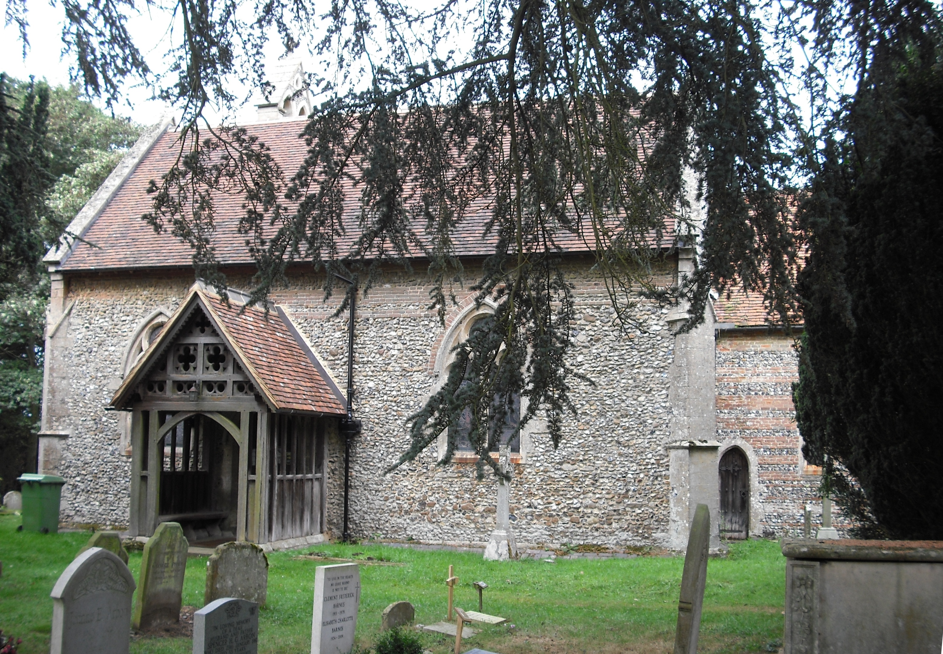
Church of St Clare, Bradfield
The Church of St Clare, Bradfield is the Anglican parish church of Bradfield St Clare, in the district of West Suffolk, Suffolk. The original structure...

St Margaret's Church, Westhorpe
St Margaret's Church is the parish church of Westhorpe, Suffolk, England. It is part of the Badwell and Walsham Benefice. It is a Grade I listed building...

Bradfield Combust with Stanningfield
Bradfield Combust with Stanningfield is a civil parish about 6 miles south of Bury St Edmunds, in the West Suffolk district of Suffolk, England. According...

Welnetham railway station
Welnetham railway station was on the Long Melford-Bury St Edmunds branch line, serving Great Whelnetham, Little Whelnetham and Sicklesmere in Suffolk....

Stanningfield
Stanningfield is a village and former civil parish, now in the parish of Bradfield Combust with Stanningfield, in the West Suffolk district of the county...
Oldhall Green
Oldhall Green is a hamlet in Suffolk, England. It is part of the civil parish of Cockfield and is located on the A1141 road between Lavenham and Bury St...
Nearby Amenities
Located within 500m of 52.183785,0.77337207Have you been to Gorse Covert?
Leave your review of Gorse Covert below (or comments, questions and feedback).