Foddington
Settlement in Somerset South Somerset
England
Foddington
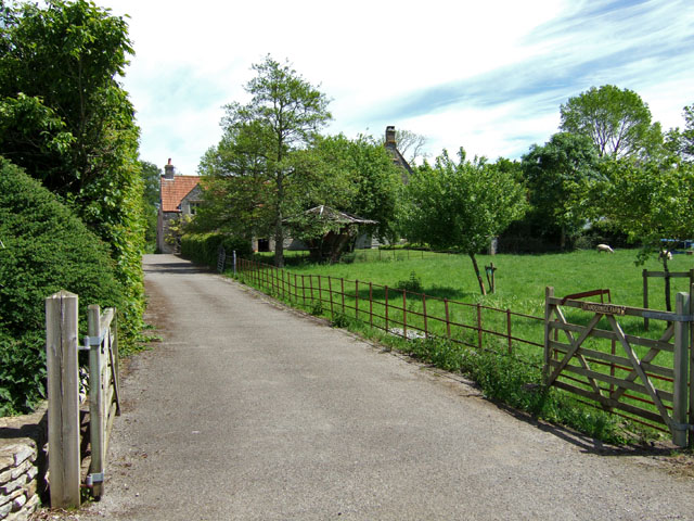
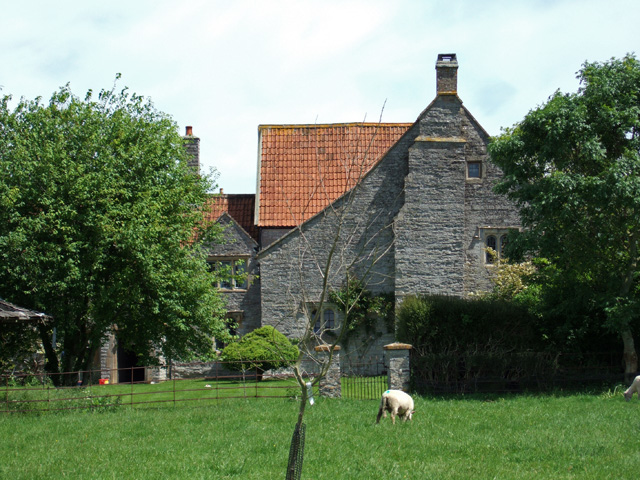
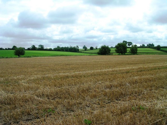
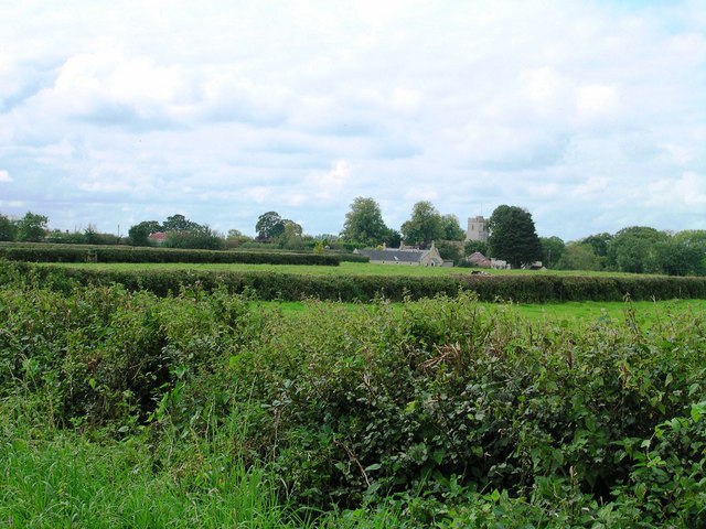
Foddington is a small village located in the county of Somerset, England. Situated approximately 4 miles south of the town of Bridgwater, Foddington is nestled in a picturesque rural setting. The village is surrounded by rolling hills, lush green fields, and charming countryside, making it a popular destination for those seeking a peaceful and idyllic retreat.
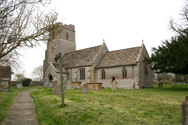
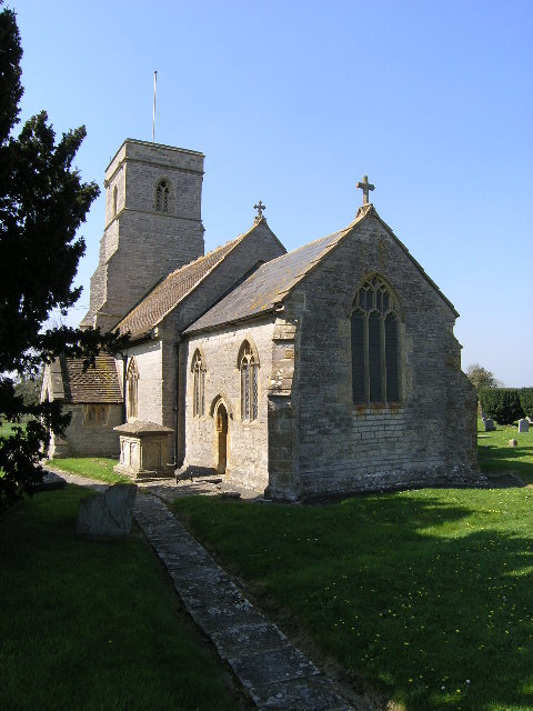
With a population of just over 200 residents, Foddington exudes a tight-knit community spirit. The village is home to a quaint parish church, St. Michael's, which dates back to the 13th century and serves as a focal point for religious and social gatherings. The church's beautiful architecture and serene atmosphere make it a must-visit for history enthusiasts and those seeking a moment of tranquility.
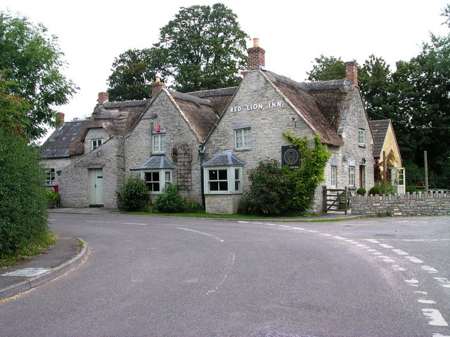
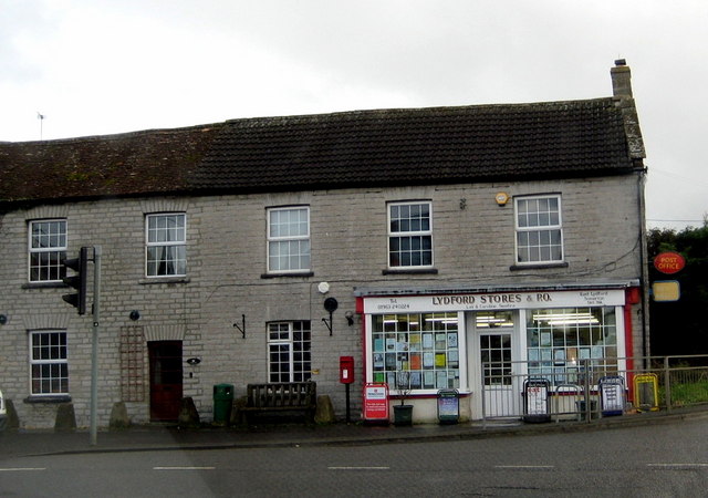
Foddington is well-connected to neighboring towns and cities through a network of well-maintained roads, allowing for easy access to amenities and services. The village itself may not have a plethora of facilities, but its close proximity to Bridgwater ensures that residents have access to a wider range of shops, restaurants, schools, and healthcare facilities.
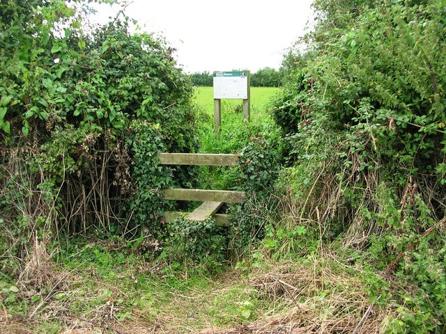
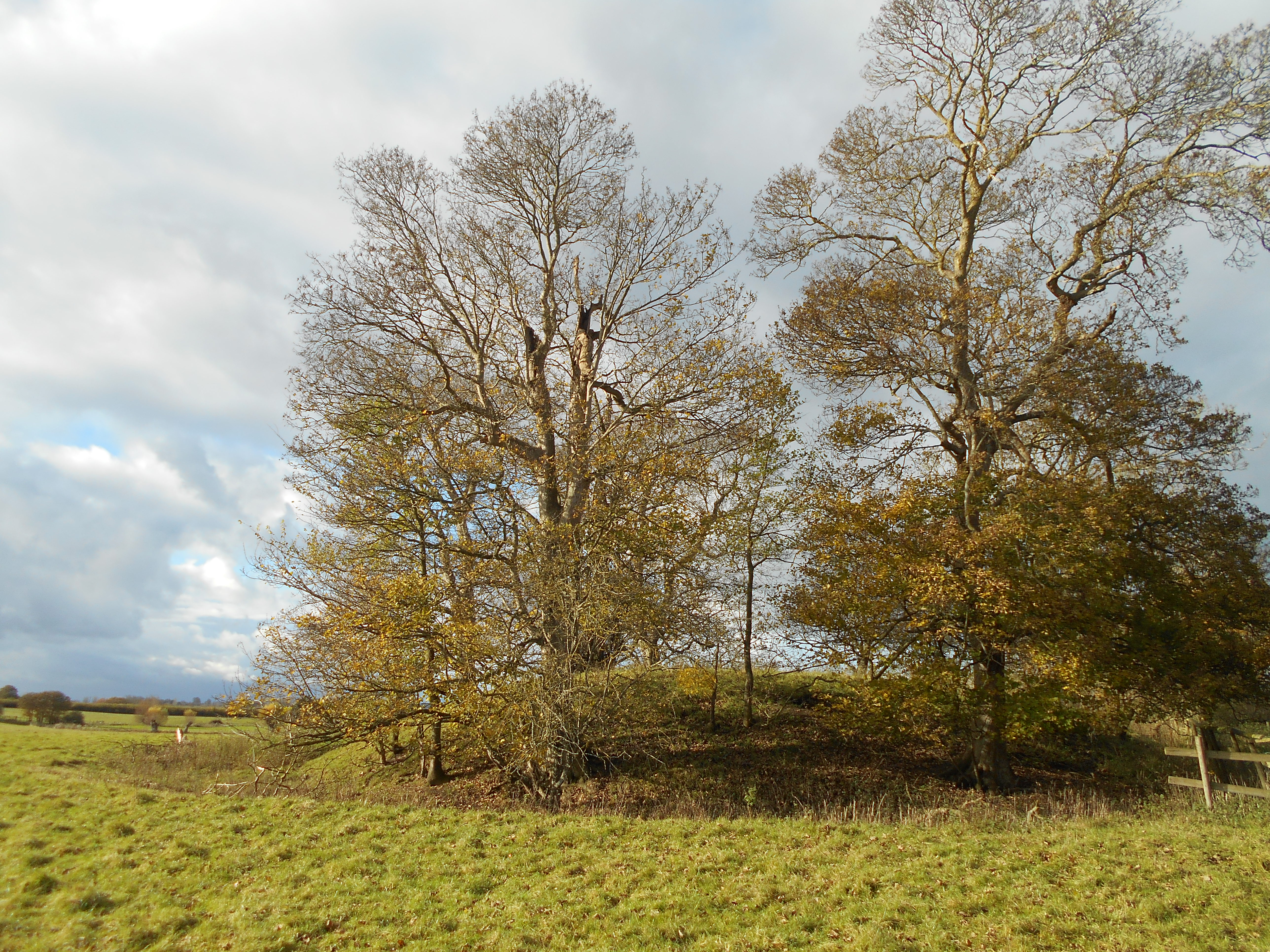
The natural beauty of Foddington's surroundings offers ample opportunities for outdoor activities and exploration. The village is surrounded by numerous walking and cycling trails, providing residents and visitors with the chance to immerse themselves in the stunning Somerset countryside. Additionally, the nearby Quantock Hills, designated as an Area of Outstanding Natural Beauty, offer breathtaking views and a wealth of wildlife.
Overall, Foddington, Somerset, is a charming village that embodies the quintessential English countryside experience. Its peaceful atmosphere, close-knit community, and stunning surroundings make it an appealing place for those seeking a tranquil retreat in the heart of Somerset.
If you have any feedback on the listing, please let us know in the comments section below.
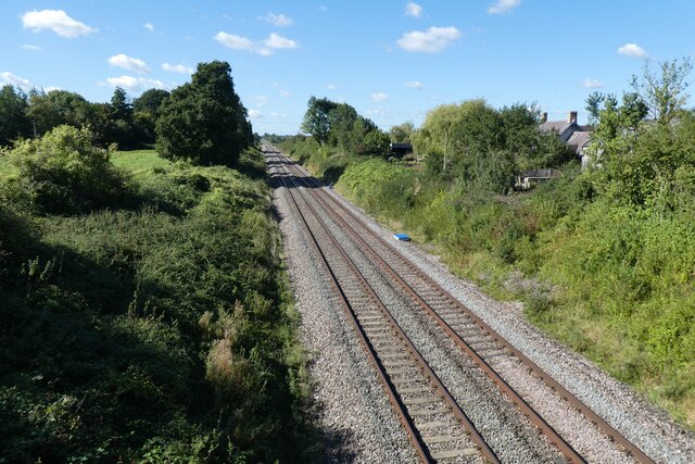
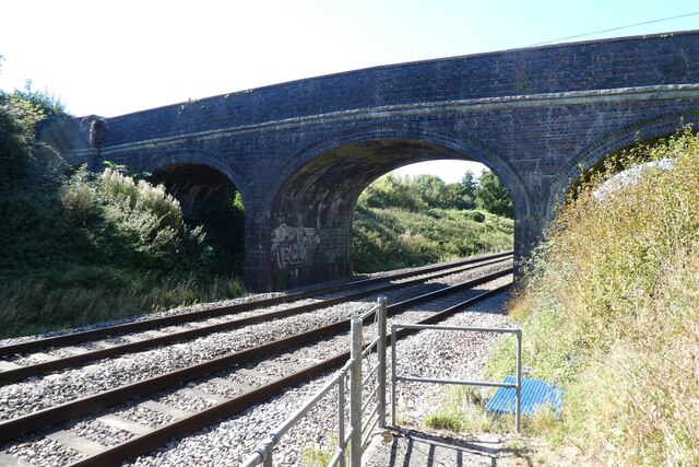
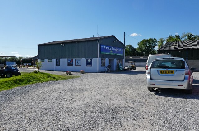
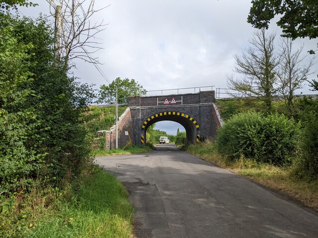
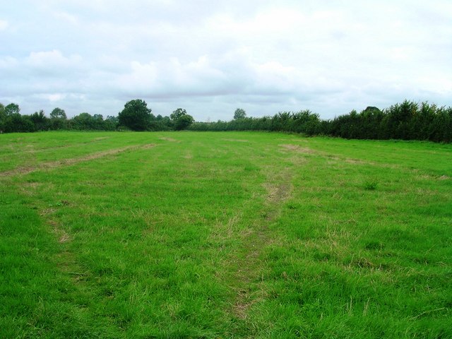
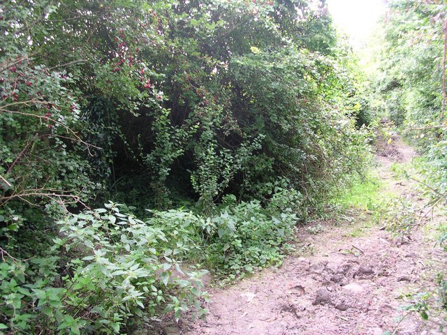
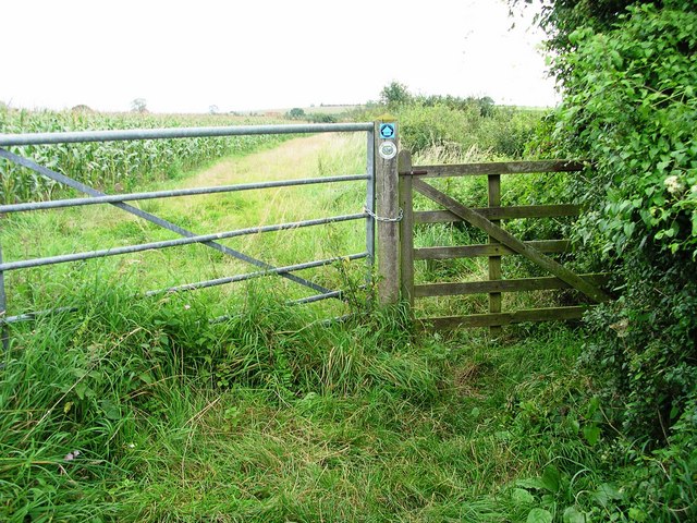
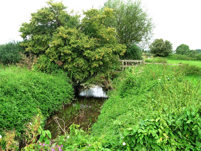
Foddington Images
Images are sourced within 2km of 51.058794/-2.6006686 or Grid Reference ST5829. Thanks to Geograph Open Source API. All images are credited.


Foddington is located at Grid Ref: ST5829 (Lat: 51.058794, Lng: -2.6006686)
Administrative County: Somerset
District: South Somerset
Police Authority: Avon and Somerset
What 3 Words
///hypnotist.limes.vibe. Near Castle Cary, Somerset
Nearby Locations
Related Wikis

Babcary Meadows
Babcary Meadows (grid reference ST567293) is a 13.6 hectares (34 acres) biological Site of Special Scientific Interest north of Babcary in Somerset, notified...

Babcary
Babcary is a village and civil parish in Somerset, England, about 5 miles (8.0 km) east of Somerton and 6 miles (9.7 km) southwest of Castle Cary. The...

Church of the Holy Cross, Babcary
The Anglican Church of the Holy Cross in Babcary, Somerset, England, was built in the 14th century. It is a Grade II* listed building. == History == The...
Lovington, Somerset
Lovington is a village and civil parish in Somerset, England, situated 3 miles (4.8 km) south west of Castle Cary, between the River Brue and River Cary...
Lydford-on-Fosse
Lydford-on-Fosse is a village and civil parish in the Mendip district of Somerset, England. The parish includes the village of West Lydford and hamlet...
Wimble Toot
Wimble Toot is a burial mound or, possibly, a motte built near the village of Babcary, Somerset, England. It is a scheduled ancient monument with a list...

Church of the Blessed Virgin Mary, East Lydford
The Church of the Blessed Virgin Mary is a former Church of England church in East Lydford, Somerset, England. Designed by Benjamin Ferrey, it was built...

Church of St Peter, South Barrow
The Anglican Church of St Peter in South Barrow, Somerset, England was built in the 14th century. It is a Grade II* listed building. == History == The...
Nearby Amenities
Located within 500m of 51.058794,-2.6006686Have you been to Foddington?
Leave your review of Foddington below (or comments, questions and feedback).