Foel

Settlement in Montgomeryshire

Wales

Foel

A458 entering Foel
A458 entering Foel Credit: John Firth

The requested URL returned error: 429 Too Many Requests

If you have any feedback on the listing, please let us know in the comments section below.
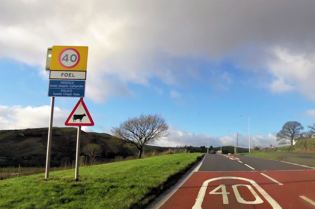
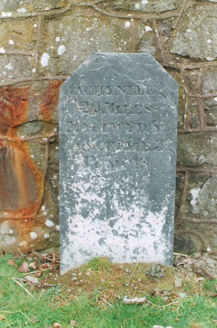
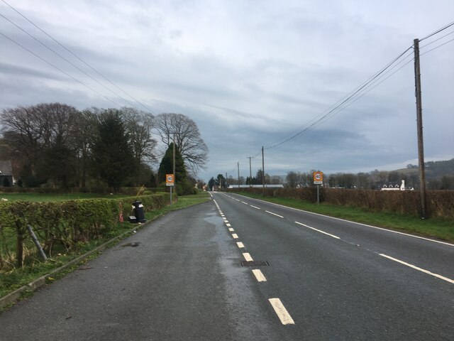
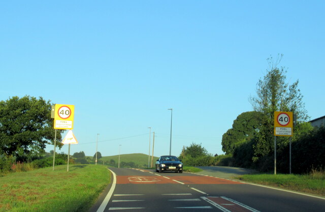
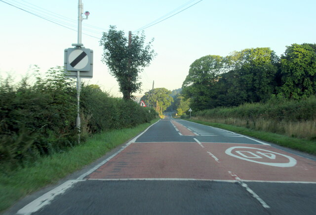
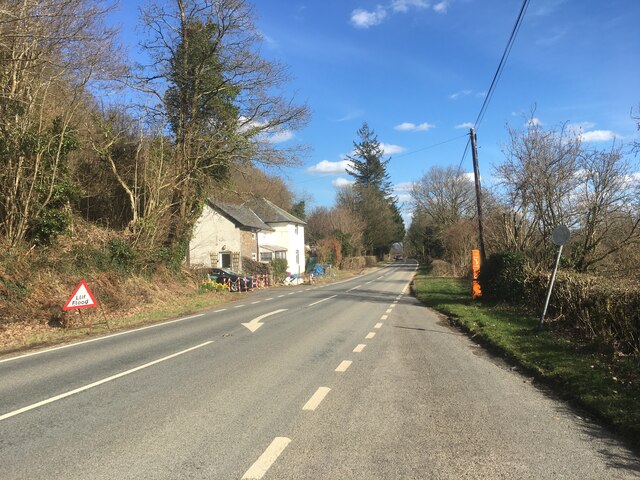
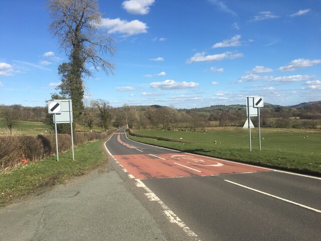
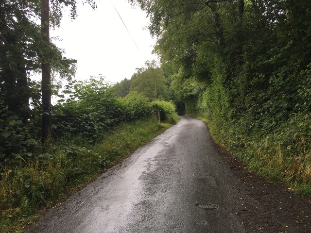
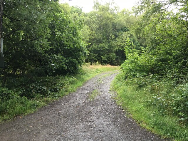
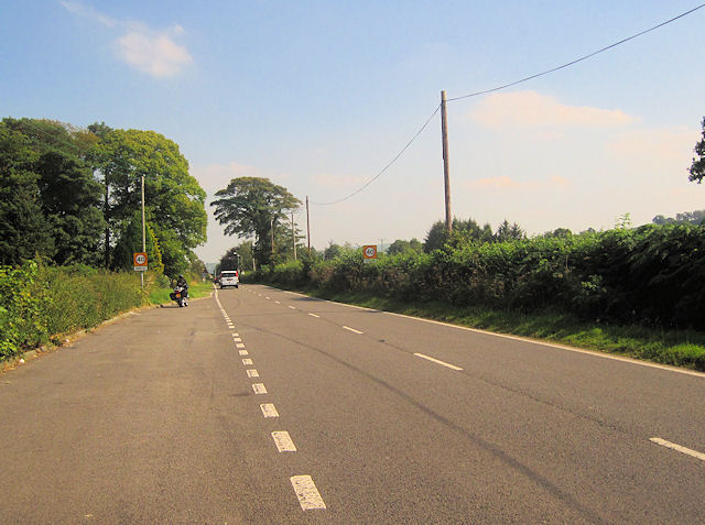
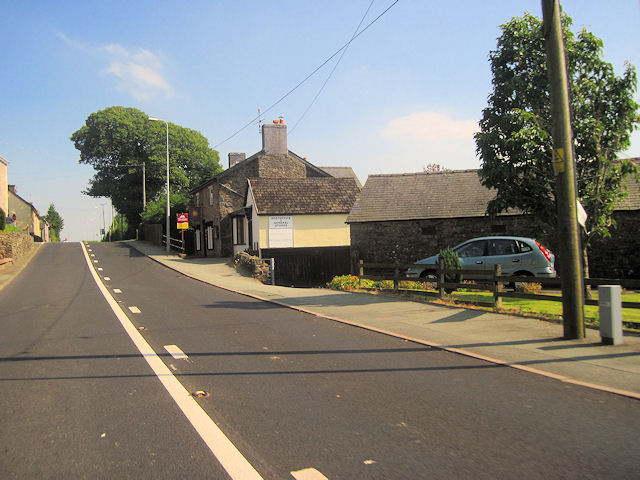
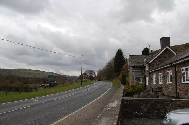
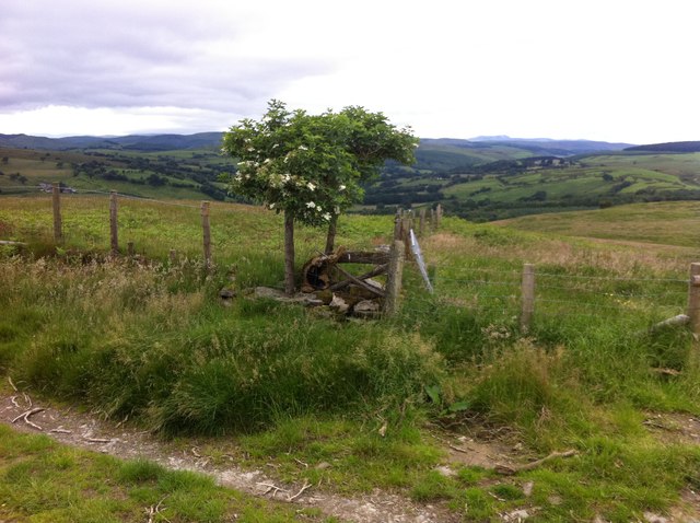
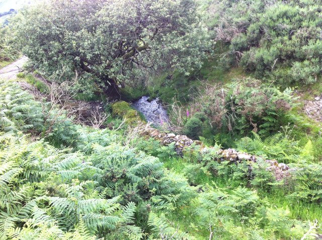
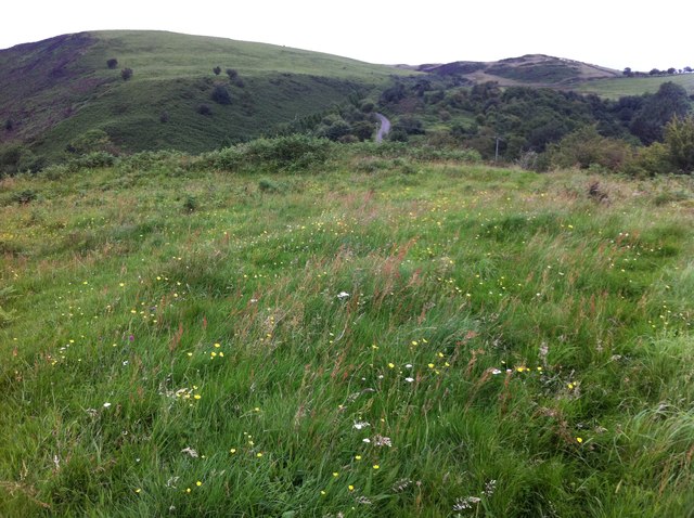
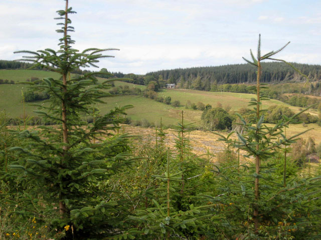
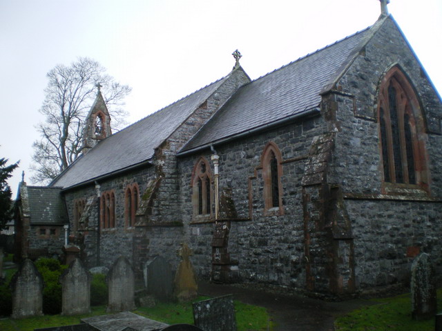
Foel Images

Images are sourced within 2km of 52.692026/-3.492299 or Grid Reference SH9911. Thanks to Geograph Open Source API. All images are credited.

A458 entering Foel
A458 entering Foel
Foel village on A458
Dyffryn Cafe on the A485 west of Foel Exact location taken from Where's the path
Dyffryn Cafe on the A485 west of Foel
Exact location taken from Where's the path
Grave Under the Yew An unusual grave under one of the Yews South of the Church at St Tydecho's Church Garthbeibio, Powys.
Grave Under the Yew
An unusual grave under one of the Yews South of the Church at St Tydecho's Church Garthbeibio, Powys.
Old Milestone by the A458 near Foel Machynlleth Chamfer by the A458, in parish of Banwy (Powys District), Pant Gals, Pont Twrch; Foel, near Dyffryn Restaurant, on verge, North side of road.
N.B. Re-located from South to North side of road

Inscription reads:-
MACHYNLLETH
20 MILES
MALLWYD 8½
CANOFFICE 3½
POOL
18 MILES 

Grade II listed by Cadw.
Reference Number: 80791 <span class="nowrap"><a title="https://cadwpublic-api.azurewebsites.net/reports/listedbuilding/FullReport?lang=&id=80791" rel="nofollow ugc noopener" href="https://cadwpublic-api.azurewebsites.net/reports/listedbuilding/FullReport?lang=&id=80791">Link</a><img style="margin-left:2px;" alt="External link" title="External link - shift click to open in new window" src="https://s1.geograph.org.uk/img/external.png" width="10" height="10"/></span>

Surveyed

Milestone Society National ID: MOT_MCWP20
Old Milestone by the A458 near Foel
Machynlleth Chamfer by the A458, in parish of Banwy (Powys District), Pant Gals, Pont Twrch; Foel, near Dyffryn Restaurant, on verge, North side of road. N.B. Re-located from South to North side of road Inscription reads:- MACHYNLLETH 20 MILES MALLWYD 8½ CANOFFICE 3½ POOL 18 MILES Grade II listed by Cadw. Reference Number: 80791 LinkExternal link Surveyed Milestone Society National ID: MOT_MCWP20
A458 approaching Foel from the west
The A458 at the Foel village sign
The A458 west leaving Foel village
A458 near Foel
A458 near Foel
A458 near Foel
A458 near Foel
Minor road near Foel
Gravel road towards Dyfnant Forest
Foel looking from layby on A458 to the west
A458 past Foel post office Looking east
A458 past Foel post office
Looking east
The Dyffryn Restaurant On the A458 west of Foel.
The Dyffryn Restaurant
On the A458 west of Foel.
Elder bush with backdrop We liked this Elder bush growing from a log.  Life will always find a way.  The backdrop is spectacular, with Aran Fawddwy in the far distance.
Elder bush with backdrop
We liked this Elder bush growing from a log. Life will always find a way. The backdrop is spectacular, with Aran Fawddwy in the far distance.
Nant flowing off the hills above Foel This stream accompanies the path down the hillside before shortly turning right to flow into the Afon Twrch, which itself shortly meets the Afon Banwy at Foel. The Banwy then flows on to meet the Vyrnwy just before Meifod.
Nant flowing off the hills above Foel
This stream accompanies the path down the hillside before shortly turning right to flow into the Afon Twrch, which itself shortly meets the Afon Banwy at Foel. The Banwy then flows on to meet the Vyrnwy just before Meifod.
Fort antiquity above Foel It took me a while to realise that this is where I was.  Nothing to mark it at all save a load of cattle footprints. Allt Cae Du in the background.
Fort antiquity above Foel
It took me a while to realise that this is where I was. Nothing to mark it at all save a load of cattle footprints. Allt Cae Du in the background.
Show me another place!

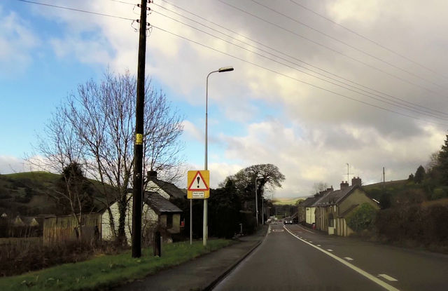
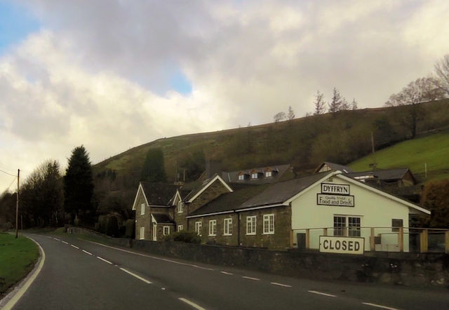
Foel is located at Grid Ref: SH9911 (Lat: 52.692026, Lng: -3.492299)

Unitary Authority: Powys

Police Authority: Dyfed Powys

Also known as: Y Foel

What 3 Words

///rezoning.waddled.hooks. Near Llangadfan, Powys

Nearby Locations

Foel Foel, Y Y Foel

Related Wikis

Llangadfan

Llangadfan is a small village in Powys, Wales, based in the community of Banwy. The village lies on the A458 between Foel and Llanerfyl, 12 kilometres...

Dyfnant Forest

Dyfnant Forest is a remote forest in northeastern-central Powys, Wales. == Location == Dyfnant Forest lies to the west of the B4395 road, a road which...

Llanerfyl

Llanerfyl is a village and community in Montgomeryshire, Powys, Wales. Located near the River Banwy, the community includes the village of Llanerfyl, several...

Llwydiarth

Llwydiarth is a small village in Powys, Wales. It is located near Lake Vyrnwy. The village is mostly made up of a caravan park and holiday centre. It does...

Nearby Amenities

Located within 500m of 52.692026,-3.492299
Foel
Place: village
Source: survey
Wikidata: Q20594649
Lat/Long: 52.69189/-3.4951891
Post Box
Ref: SY21 76
Source: survey
Lat/Long: 52.6919375/-3.4943035
Building: yes
Lat/Long: 52.6944574/-3.4969635
Building: yes
Lat/Long: 52.693443/-3.4982509
Place: farm
Lat/Long: 52.6921685/-3.4884233
Building: yes
Lat/Long: 52.6899965/-3.4920926
Building: yes
Lat/Long: 52.6927797/-3.4929938
Building: yes
Lat/Long: 52.6925326/-3.4906978
Bus Stop
Pen y Ddôl
Bus: yes
Departures Board: timetable
Naptan AtcoCode: 5610AWE90028
Public Transport: platform
Shelter: no
Lat/Long: 52.69192/-3.4955745
Bus Stop
Outside Post Office
Bus: yes
Departures Board: timetable
Naptan AtcoCode: 5610AWE90027
Public Transport: platform
Shelter: no
Lat/Long: 52.6920259/-3.4942923
SK53 Solar: missing_building
Building: yes
Fixme: building area needed
Lat/Long: 52.6910811/-3.4987579
SK53 Solar: missing_building
Building: yes
Fixme: building area needed
Lat/Long: 52.6915472/-3.4963218
Direction: 265
Generator Method: photovoltaic
Generator Output Electricity: yes
Generator Solar Modules: 8
Generator Source: solar
Generator Type: solar_photovoltaic_panel
Location: roof
Power: generator
Lat/Long: 52.6915676/-3.4963734
Direction: 265
Generator Method: photovoltaic
Generator Output Electricity: yes
Generator Solar Modules: 8
Generator Source: solar
Generator Type: solar_photovoltaic_panel
Location: roof
Power: generator
Lat/Long: 52.6915102/-3.4963647
Direction: SSW
Fixme: possibly not solar at all
Generator Method: photovoltaic
Generator Output Electricity: yes
Generator Source: solar
Generator Type: solar_photovoltaic_panel
Location: roof
Power: generator
Lat/Long: 52.6908356/-3.4956613
Direction: SSE
Generator Method: photovoltaic
Generator Output Electricity: yes
Generator Solar Modules: 16
Generator Source: solar
Generator Type: solar_photovoltaic_panel
Location: roof
Power: generator
Lat/Long: 52.6910599/-3.4987298
The data included in this document is from www.openstreetmap.org. The data is made available under ODbL.

Have you been to Foel?

Leave your review of Foel below (or comments, questions and feedback).