Square Plantation

Wood, Forest in Suffolk Babergh

England

Square Plantation

Long Melford, Melford Hall: Northern aspect
Long Melford, Melford Hall: Northern aspect Credit: Michael Garlick

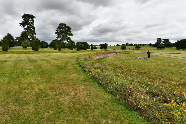
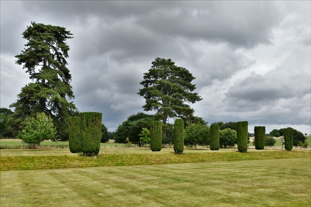
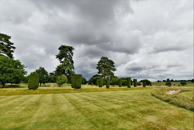
Square Plantation is a wooded area located in Suffolk, England. Situated within a forest, it covers an approximate area of 100 acres. The plantation is characterized by its square shape, which is reflected in its name.

The woodland in Square Plantation primarily consists of a mixture of deciduous and coniferous trees, creating a diverse and visually appealing landscape. Among the tree species commonly found in the area are oak, beech, pine, and birch. The dense canopy created by these trees provides a habitat for a variety of wildlife, including squirrels, rabbits, and various bird species.

The woodland floor is covered with a thick layer of leaf litter, creating a natural carpet that adds to the beauty and tranquility of the plantation. Walking paths have been carefully established throughout the area, allowing visitors to explore the plantation and enjoy its natural surroundings.

Square Plantation is a popular destination for nature enthusiasts, hikers, and families looking for a peaceful retreat. Its location within a forest offers a sense of seclusion and serenity, making it an ideal spot for relaxation and outdoor activities.

Managed by the local Suffolk County Council, the plantation is well-maintained and regularly monitored to ensure the preservation of its natural ecosystem. The council also organizes educational events and guided walks to promote awareness and appreciation of the local flora and fauna.

Overall, Square Plantation in Suffolk is a scenic and tranquil woodland, offering visitors a chance to immerse themselves in nature and experience the beauty of the English countryside.

If you have any feedback on the listing, please let us know in the comments section below.

Square Plantation Images

Images are sourced within 2km of 52.096081/0.72377159 or Grid Reference TL8647. Thanks to Geograph Open Source API. All images are credited.

Long Melford, Melford Hall: Northern aspect
Long Melford, Melford Hall: Avenue of trees leading to the main entrance
Long Melford, Melford Hall: Northern eastern aspect
Long Melford, Melford Hall: Eastern aspect
Long Melford, Melford Hall: Sundial
Long Melford, Melford Hall: Flower border and grounds looking north
Long Melford, Melford Hall: Grounds looking north
Long Melford, Melford Hall: Flower border and grounds looking north
Long Melford, Melford Hall: East entrance
Long Melford, Melford Hall: Outdoor seating area for the tea room
Long Melford, Melford Hall: North western aspect
Long Melford, Melford Hall: Western aspect
Long Melford, Melford Hall: Bees on Sedum
Show me another place!

Square Plantation is located at Grid Ref: TL8647 (Lat: 52.096081, Lng: 0.72377159)

Administrative County: Suffolk

District: Babergh

Police Authority: Suffolk

What 3 Words

///fools.hiring.shelved. Near Long Melford, Suffolk

Related Wikis

Holy Trinity Church, Long Melford

The Church of the Holy Trinity is a Grade I listed parish church of the Church of England in Long Melford, Suffolk, England. It is one of 310 medieval...
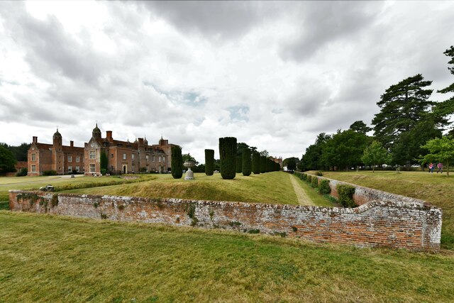
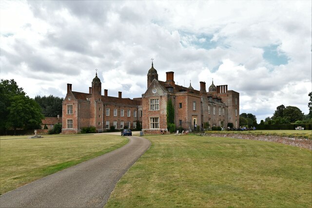
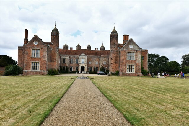
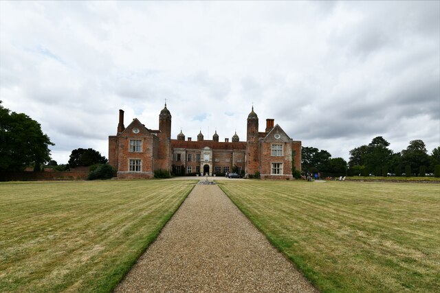
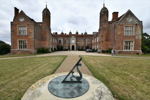
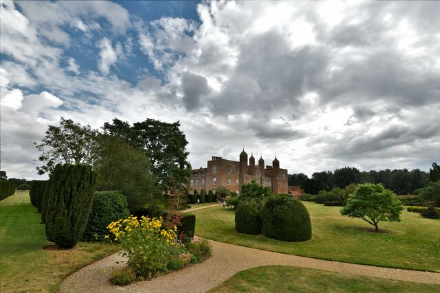
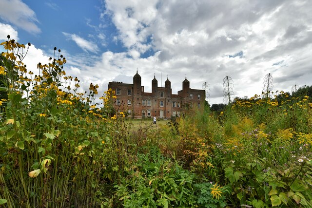
Melford Hall

Melford Hall is a stately home in the village of Long Melford, Suffolk, England. Since 1786 it has been the seat of the Parker Baronets and is still lived...

Long Melford

Long Melford, colloquially and historically also referred to as Melford, is a large village and civil parish in the Babergh district, in the county of...

Long Melford F.C.

Long Melford Football Club is a football club based in Long Melford, Suffolk, England. Affiliated to the Suffolk County FA, they are currently members...

Lineage Wood & Railway Track, Long Melford

Lineage Wood & Railway Track, Long Melford is a 78.7-hectare (194-acre) biological Site of Special Scientific Interest north-east of Long Melford in Suffolk...

Stanstead, Suffolk

Stanstead is a village and civil parish in Suffolk, England. The name Stanstead comes from the Old English for "Stony place". Located off the B1066, it...

Kentwell Woods

Kentwell Woods is a 77.6-hectare (192-acre) biological Site of Special Scientific Interest in fifteen woods in fourteen separate blocks east and north...

Glemsford Pits

Glemsford Pits is a 37.5-hectare (93-acre) biological Site of Special Scientific Interest south of Glemsford in Suffolk. The River Stour, which forms the...

Nearby Amenities

Located within 500m of 52.096081,0.72377159
High Street Farm
Naptan AtcoCode: 390010789
Naptan Bearing: SW
Naptan BusStopType: CUS
Naptan CommonName: High Street Farm
Naptan Indicator: o/s
Naptan Landmark: High Street Farm
Naptan NaptanCode: sufjmwgt
Naptan Street: High Street
Naptan Verified: no
Source: naptan_import
Lat/Long: 52.0940474/0.728249
Post Box
Collection Times: Mo-Fr 09:00; Sa 07:00
Post Box Design: 2010_pattern
Post Box Mounting: pier
Post Box Type: lamp
Ref: CO10 1038D
Royal Cypher: EIIR
Royal Cypher Wikidata: Q33102113
Lat/Long: 52.091924/0.7263966
Barrier: stile
Dog Gate: yes
Lat/Long: 52.0925526/0.7220688
Power: pole
Lat/Long: 52.0939156/0.7263745
Power: pole
Lat/Long: 52.0946472/0.7268251
Barrier: stile
Lat/Long: 52.0918557/0.7218374
Toilets
Lat/Long: 52.0980874/0.7208143
Restaurant
Lat/Long: 52.0979523/0.7206534
Toilets
Lat/Long: 52.0967528/0.7194625
Camera Obscura
Lat/Long: 52.0985094/0.7185255
Waste Basket
Waste: dog_excrement
Lat/Long: 52.0928676/0.7272233
Addr City: Sudbury
Addr Housename: Lovett House
Addr Housenumber: 1A
Addr Street: High Street
Addr Village: Long Melford
Lat/Long: 52.0925874/0.7272179
Addr City: Sudbury
Addr Housenumber: 2
Addr Street: High Street
Addr Village: Long Melford
Lat/Long: 52.0924556/0.7270879
Addr City: Sudbury
Addr Housenumber: 1
Addr Street: High Street
Addr Village: Long Melford
Lat/Long: 52.0925067/0.7271321
Addr City: Sudbury
Addr Housenumber: 4
Addr Street: High Street
Addr Village: Long Melford
Lat/Long: 52.0922356/0.726935
Addr City: Sudbury
Addr Housenumber: 3
Addr Street: High Street
Addr Village: Long Melford
Lat/Long: 52.0922883/0.7269739
Addr Housenumber: 6
Lat/Long: 52.0920107/0.7267995
Addr Housenumber: 5
Lat/Long: 52.0920584/0.7268424
Addr City: Sudbury
Addr Housenumber: 45
Addr Street: High Street
Addr Village: Long Melford
Lat/Long: 52.0919563/0.7259077
Addr City: Sudbury
Addr Housenumber: 44A
Addr Street: High Street
Addr Village: Long Melford
Lat/Long: 52.0920411/0.7260016
Barrier: stile
Dog Gate: yes
Lat/Long: 52.0925203/0.7248254
The data included in this document is from www.openstreetmap.org. The data is made available under ODbL.

Have you been to Square Plantation?

Leave your review of Square Plantation below (or comments, questions and feedback).