Lower Dutmoss Wood
Wood, Forest in Suffolk West Suffolk
England
Lower Dutmoss Wood
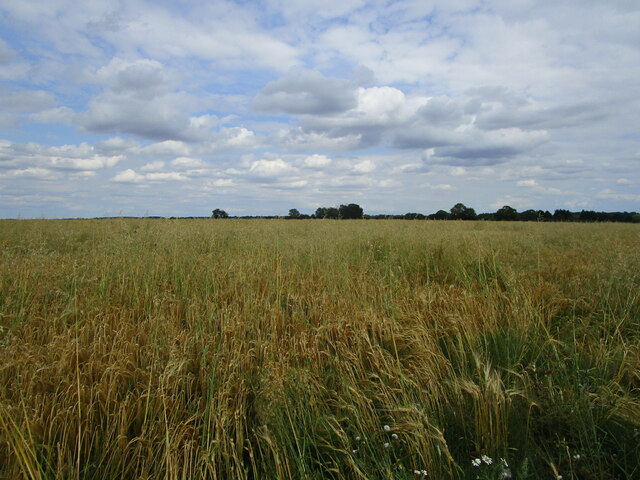
Lower Dutmoss Wood, located in Suffolk, England, is a beautiful and enchanting woodland that covers an area of approximately 100 acres. Situated in the heart of the Suffolk countryside, this ancient forest is a haven for nature enthusiasts and offers a tranquil escape from the hustle and bustle of modern life.
The wood is predominantly composed of deciduous trees, including oak, beech, and ash, which create a lush and diverse ecosystem. The dense canopy of the trees provides a cool and shaded environment, particularly during the hot summer months. The forest floor is covered in a rich carpet of mosses, ferns, and wildflowers, adding to the woodland's natural beauty.
Lower Dutmoss Wood is home to a variety of wildlife species, including deer, rabbits, and a myriad of bird species. Nature lovers can enjoy birdwatching, with the possibility of spotting woodpeckers, owls, and thrushes among the treetops. The wood also provides an ideal habitat for a range of small mammals, such as squirrels and foxes.
Visitors to Lower Dutmoss Wood can explore its numerous walking trails, allowing them to immerse themselves in the peaceful surroundings and discover hidden gems within the forest. The wood is managed by local conservation organizations, who work to preserve its natural beauty and protect its delicate ecosystem.
Overall, Lower Dutmoss Wood offers a picturesque and serene setting for nature enthusiasts and those seeking a peaceful retreat in the Suffolk countryside. Whether it's for a leisurely stroll or a birdwatching adventure, this enchanting woodland provides a delightful experience for all who visit.
If you have any feedback on the listing, please let us know in the comments section below.
Lower Dutmoss Wood Images
Images are sourced within 2km of 52.184116/0.72910661 or Grid Reference TL8657. Thanks to Geograph Open Source API. All images are credited.


Lower Dutmoss Wood is located at Grid Ref: TL8657 (Lat: 52.184116, Lng: 0.72910661)
Administrative County: Suffolk
District: West Suffolk
Police Authority: Suffolk
What 3 Words
///composer.penned.strongman. Near Bury St Edmunds, Suffolk
Nearby Locations
Related Wikis
Coldham Hall
Coldham Hall is a Grade I listed building, built in 1574, that is located in the parish of Bradfield Combust with Stanningfield in Suffolk. The Hall is...

Hawstead
Hawstead is a small village and civil parish in the West Suffolk district of Suffolk in eastern England. It is located 5 kilometres (3 mi) south of Bury...
Coldham Cottage
The Church of Our Lady Immaculate and St Joseph, otherwise known as Coldham Cottage is the oldest continuing Roman Catholic church in Suffolk. It is in...

Bradfield Combust with Stanningfield
Bradfield Combust with Stanningfield is a civil parish about 6 miles south of Bury St Edmunds, in the West Suffolk district of Suffolk, England. According...
Have you been to Lower Dutmoss Wood?
Leave your review of Lower Dutmoss Wood below (or comments, questions and feedback).