Oak Covert
Wood, Forest in Norfolk Breckland
England
Oak Covert
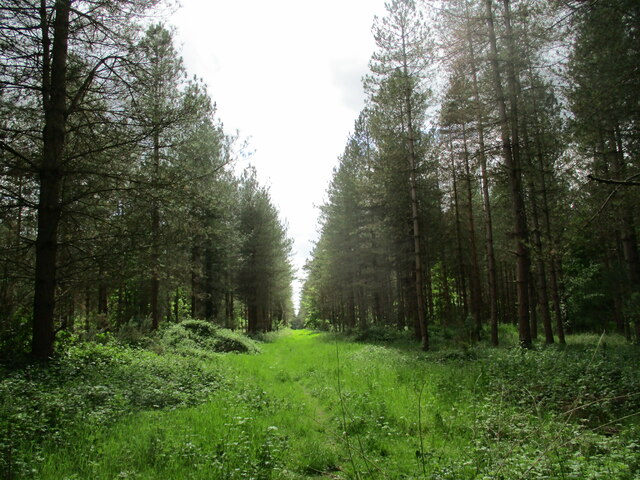
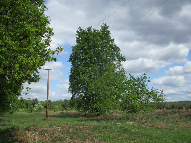
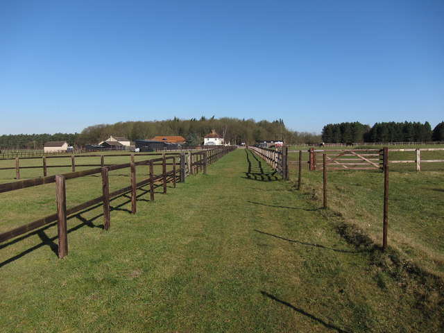
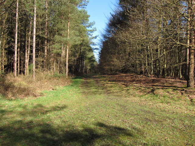
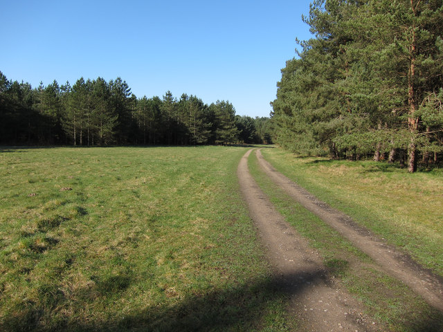
Oak Covert is a charming woodland located in Norfolk, England. Nestled in the heart of the county, this tranquil forest offers visitors a serene escape from the hustle and bustle of modern life. Covering an area of approximately 100 acres, Oak Covert is primarily composed of oak trees, which lend the forest its name and provide a stunning canopy that filters sunlight and creates a magical atmosphere.
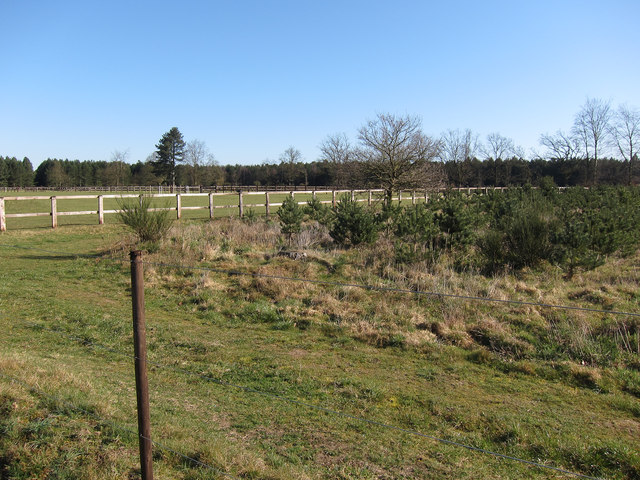
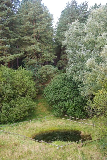
The forest is renowned for its rich biodiversity, housing a wide variety of flora and fauna. Visitors can expect to encounter a plethora of native plant species, including wildflowers, ferns, and mosses that carpet the forest floor. The towering oaks provide a haven for numerous bird species, such as woodpeckers, owls, and thrushes, making it a popular spot for birdwatching enthusiasts.
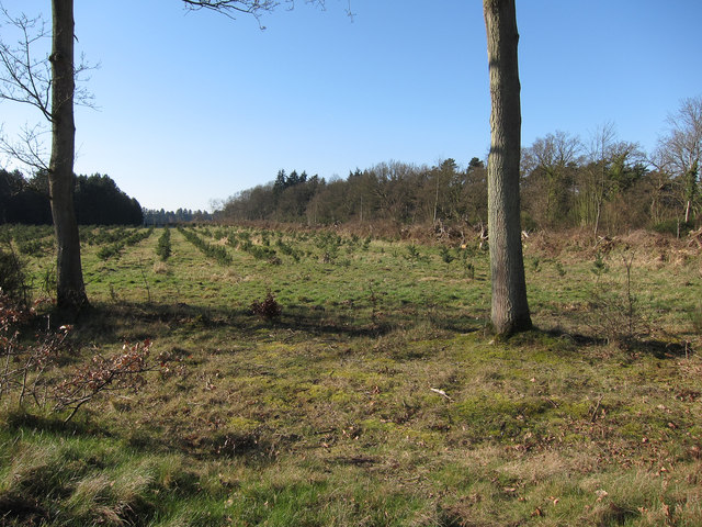
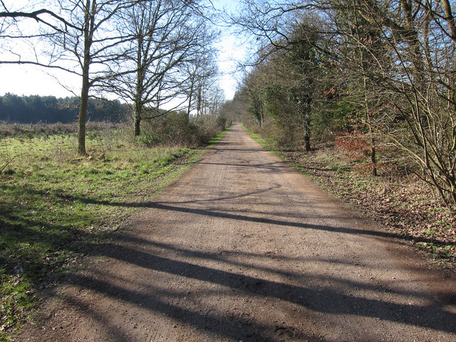
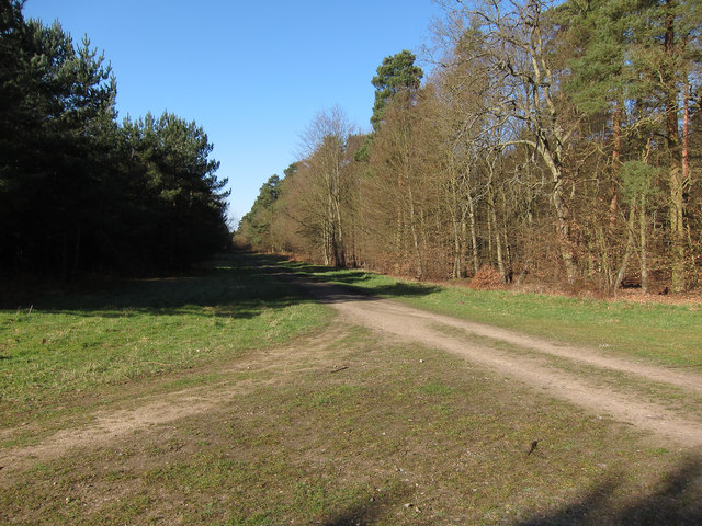
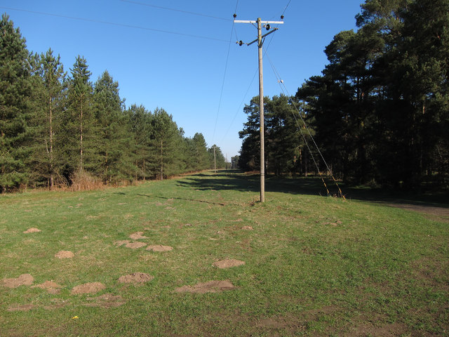
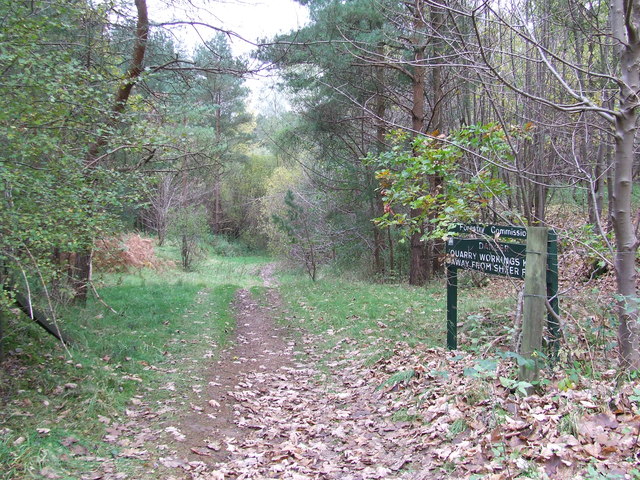
The forest offers a network of well-maintained pathways, allowing visitors to explore the woodland at their own pace. These paths wind through the trees, creating a sense of adventure and discovery. Along the way, there are picnic areas and benches where visitors can rest and take in the natural beauty of their surroundings.
Oak Covert is a haven for nature lovers and outdoor enthusiasts alike. The forest is also home to a diverse range of wildlife, including rabbits, squirrels, and deer, which can often be spotted grazing or darting through the trees. The peaceful ambiance and picturesque setting make Oak Covert an ideal destination for hiking, photography, and simply immersing oneself in the wonders of nature.
Overall, Oak Covert is a hidden gem in Norfolk, offering a serene escape into nature. With its ancient oak trees, diverse wildlife, and scenic pathways, it provides a perfect opportunity to reconnect with the natural world and experience the beauty of Norfolk's woodlands.
If you have any feedback on the listing, please let us know in the comments section below.
Oak Covert Images
Images are sourced within 2km of 52.488566/0.70680898 or Grid Reference TL8391. Thanks to Geograph Open Source API. All images are credited.


Oak Covert is located at Grid Ref: TL8391 (Lat: 52.488566, Lng: 0.70680898)
Administrative County: Norfolk
District: Breckland
Police Authority: Norfolk
What 3 Words
///tastes.brownish.ballooned. Near Mundford, Norfolk
Nearby Locations
Related Wikis

West Tofts
West Tofts is a deserted medieval village within the Stanford Training Area, an army training area in the English county of Norfolk. It is in the civil...

Lynford
Lynford is a village and civil parish in the Breckland District of Norfolk. The parish covers an area of 24.72 km2 (9.54 sq mi), and the 2001 Census recorded...
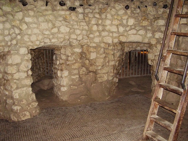
Grime's Graves
Grime's Graves is a large Neolithic flint mining complex in Norfolk, England. It lies 8 km (5.0 mi) north east from Brandon, Suffolk in the East of England...

Thetford Rural District
Thetford Rural District was a rural district in Norfolk, England from 1894 to 1935.It was formed under the Local Government Act 1894 based on the Thetford...

Lynford Hall
Lynford Hall is a neo-Jacobean country house at Mundford, near Thetford in the English county of Norfolk. It is now a hotel. == Location == The Lynford...

Buckenham Tofts
Buckenham Tofts (or Buckenham Parva; Little Buckenham) is a former civil parish, now in the parish of Stanford, in the Breckland district, in the county...
Stanford, Norfolk
Stanford is a deserted village and civil parish in the English county of Norfolk. It is situated 7+1⁄2 miles (12 km) north of the town of Thetford and...
St Helen's Church, Santon
St Helen's Church was a church located near Santon, Norfolk, England. Its site is a scheduled monument. It was no longer in existence by 1368.The church...
Related Videos

I have a time machine
Let's go on an adventure, Seriously I'm going to put you in a place where know one has been for 4500 years for more information ...

Grimes Graves, Norfolk | 4000 years old | English Heritage | UK
grimesgraves #englishheritage #norfolk Picking Towns brings for you a virtual tour of Grimes Graves, Norfolk, UK. They are 4000+ ...
Nearby Amenities
Located within 500m of 52.488566,0.70680898Have you been to Oak Covert?
Leave your review of Oak Covert below (or comments, questions and feedback).