Foxtail Covert

Wood, Forest in Norfolk Breckland

England

Foxtail Covert

Ride in Big Wood, Lynford
Ride in Big Wood, Lynford Credit: Jonathan Thacker

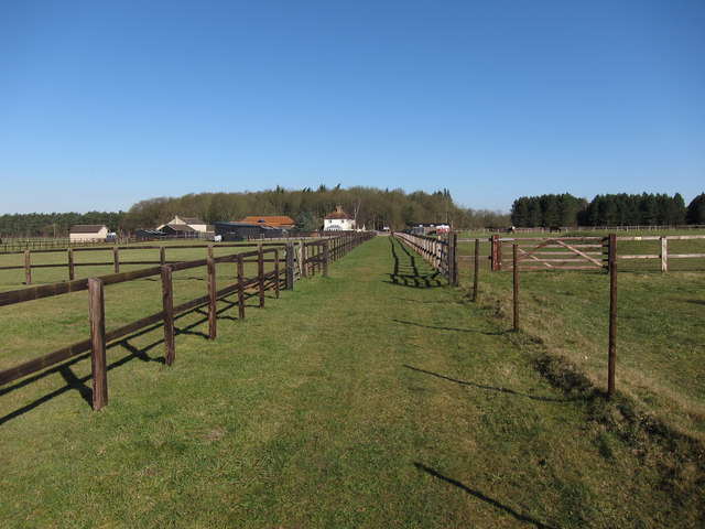
Foxtail Covert is a picturesque wood located in the county of Norfolk, England. Situated in the heart of the Norfolk Broads, it covers an area of approximately 20 hectares and is known for its enchanting beauty and diverse ecosystem.

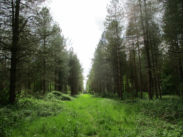
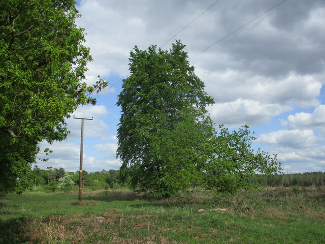
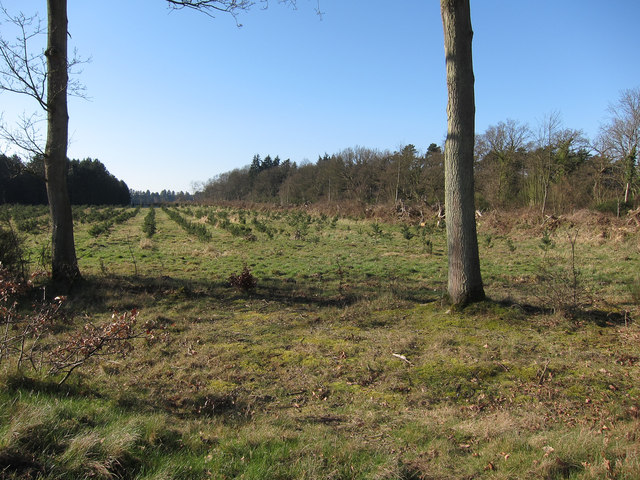
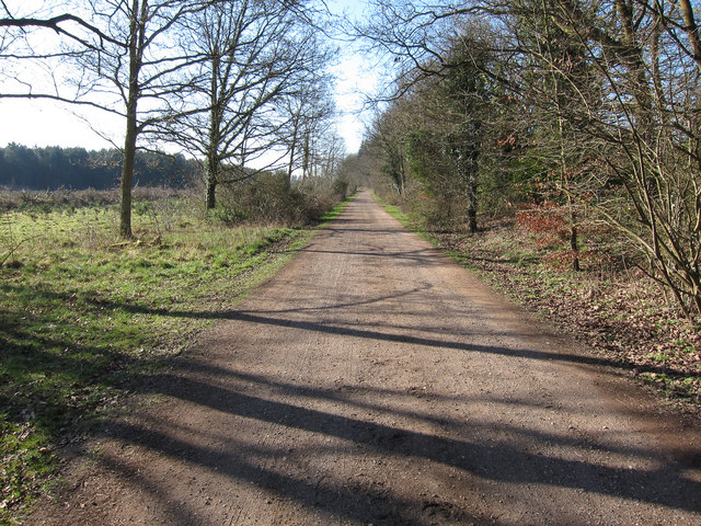
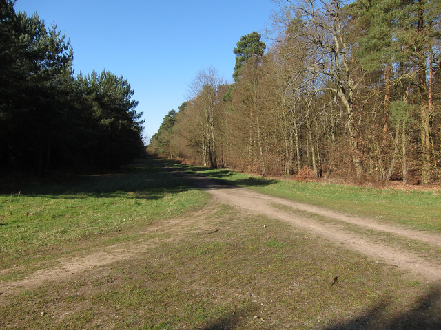
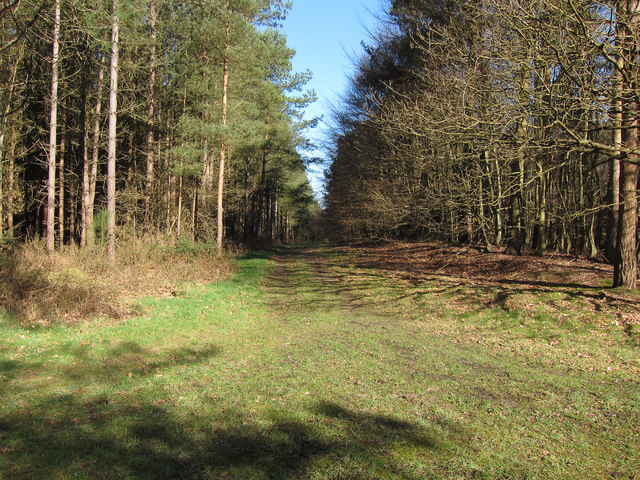
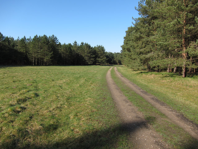
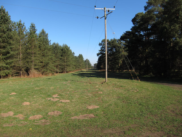
This woodland, also referred to as a forest, is characterized by its dense canopy of trees, predominantly consisting of native species such as oak, ash, and birch. These tall, mature trees create a tranquil and serene atmosphere, providing a haven for numerous wildlife species that call Foxtail Covert their home.

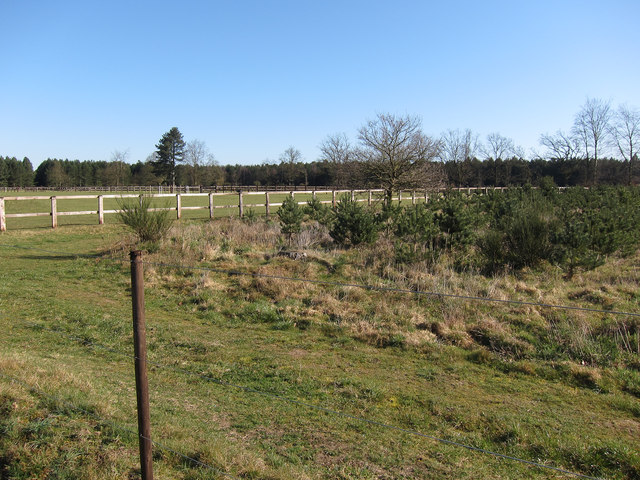
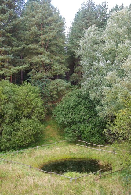
The forest floor is covered in a thick carpet of foliage, including ferns, wildflowers, and mosses, which thrive in the moist and fertile soil. This ground cover not only adds to the aesthetic appeal of the wood but also provides a habitat for small mammals, insects, and birds.

Foxtail Covert is a popular destination for nature enthusiasts and birdwatchers, as it attracts a wide variety of bird species throughout the year. From the melodious songs of blackbirds and thrushes to the distinctive calls of woodpeckers and owls, the wood is alive with the sounds of nature.

The wood is crisscrossed by a network of well-maintained footpaths, allowing visitors to explore its natural wonders at their own pace. These paths lead to secluded clearings, where one can pause and appreciate the tranquility of the surroundings.

Foxtail Covert truly exemplifies the beauty of Norfolk's woodlands. With its rich biodiversity, peaceful ambiance, and scenic trails, it offers a delightful escape into nature for all who visit.

If you have any feedback on the listing, please let us know in the comments section below.

Foxtail Covert Images

Images are sourced within 2km of 52.492602/0.70137018 or Grid Reference TL8391. Thanks to Geograph Open Source API. All images are credited.

Ride in Big Wood, Lynford
Clear felled area near Lynford
Remaining tree This area has been clear felled but one or two trees remain.
Remaining tree
This area has been clear felled but one or two trees remain.
Old Milestone by the A134, north of Lynford Carved stone post by the A134, in parish of Lynford (Breckland District), West Tofts Heath, on the verge, on East side of road. Erected by the Bury St Edmunds to Cranwich turnpike trust in the 19th century. An earlier photograph can be found here <a title="https://www.geograph.org.uk/photo/6035325" href="https://www.geograph.org.uk/photo/6035325">Link</a>.

Inscription reads:-
: THETFORD / 4 / MILES : : STOKE FY / 11 / MILES :
Carved benchmark on top.

Norfolk HER listed. NHER Number: 56804 <span class="nowrap"><a title="https://www.heritagegateway.org.uk/Gateway/Results_Single.aspx?uid=MNF63218&resourceID=1002" rel="nofollow ugc noopener" href="https://www.heritagegateway.org.uk/Gateway/Results_Single.aspx?uid=MNF63218&resourceID=1002">Link</a><img style="margin-left:2px;" alt="External link" title="External link - shift click to open in new window" src="https://s1.geograph.org.uk/img/external.png" width="10" height="10"/></span>

Milestone Society National ID: NO_SFT11
Old Milestone by the A134, north of Lynford
Carved stone post by the A134, in parish of Lynford (Breckland District), West Tofts Heath, on the verge, on East side of road. Erected by the Bury St Edmunds to Cranwich turnpike trust in the 19th century. An earlier photograph can be found here Link. Inscription reads:- : THETFORD / 4 / MILES : : STOKE FY / 11 / MILES : Carved benchmark on top. Norfolk HER listed. NHER Number: 56804 LinkExternal link Milestone Society National ID: NO_SFT11
Road from STANTA STANTA is a large army training area in the Brecks.
Road from STANTA
STANTA is a large army training area in the Brecks.
Gravelpit Cottages On the road to one of the entrances to STANTA (Stanford Training Area), a large military training area.
Gravelpit Cottages
On the road to one of the entrances to STANTA (Stanford Training Area), a large military training area.
Replanted plantation South of West Tofts Road.
Replanted plantation
South of West Tofts Road.
Restricted byway South of West Tofts Road.
Restricted byway
South of West Tofts Road.
Restricted byway to Oak Farm With horses in the paddocks.
Restricted byway to Oak Farm
With horses in the paddocks.
Replanted plantation On the edge of the paddocks around Oak Farm.
Replanted plantation
On the edge of the paddocks around Oak Farm.
Restricted byway through West Tofts Heath Mostly coniferous plantation with some areas of deciduous trees. The area is open access.
Restricted byway through West Tofts Heath
Mostly coniferous plantation with some areas of deciduous trees. The area is open access.
Forest track Part of Thetford Forest.
Forest track
Part of Thetford Forest.
Open area in the plantation By the restricted byway to Lynford Point House.
Open area in the plantation
By the restricted byway to Lynford Point House.
Restricted byway
Restricted byway
Across the pit This disused sand pit isn't as wet as the current OS mapping suggests.  The tracks around it suggest that it's heavily used by two-wheeled vehicles.
Across the pit
This disused sand pit isn't as wet as the current OS mapping suggests. The tracks around it suggest that it's heavily used by two-wheeled vehicles.
Pool in a pit This pool sits at the bottom of the disused sand pit, carefully fenced off to stop anyone falling in.
Pool in a pit
This pool sits at the bottom of the disused sand pit, carefully fenced off to stop anyone falling in.
On the edge This birch tree clings to the edge of the disused sand pit.
On the edge
This birch tree clings to the edge of the disused sand pit.
The A.134 Looking south east along the A.143 near to Lynford, Norfolk.
The A.134
Looking south east along the A.143 near to Lynford, Norfolk.
Show me another place!

Foxtail Covert is located at Grid Ref: TL8391 (Lat: 52.492602, Lng: 0.70137018)

Administrative County: Norfolk

District: Breckland

Police Authority: Norfolk

What 3 Words

///blacken.misted.rocks. Near Mundford, Norfolk

Nearby Locations

Foxtail Covert Oak Covert

Related Wikis

West Tofts

West Tofts is a deserted medieval village in the civil parish of Lynford, within the Breckland district, in the county of Norfolk, England. It is within...

Lynford

Lynford is a village and civil parish in the Breckland District of Norfolk. The parish covers an area of 24.72 km2 (9.54 sq mi), and the 2001 Census recorded...

Thetford Rural District

Thetford Rural District was a rural district in Norfolk, England from 1894 to 1935.It was formed under the Local Government Act 1894 based on the Thetford...

Grime's Graves

Grime's Graves is a large Neolithic flint mining complex in Norfolk, England. It lies 8 km (5.0 mi) north east from Brandon, Suffolk in the East of England...

Nearby Amenities

Located within 500m of 52.492602,0.70137018
Telephone
Lat/Long: 52.4956159/0.7050959
Post Box
Collection Times: Mo-Fr 17:15; Sa 10:00
Post Box Mounting: brick_pillar
Post Box Type: wall
Ref: IP26 3237
Royal Cypher: EIIR
Royal Cypher Wikidata: Q33102113
Lat/Long: 52.4956437/0.7050689
Barrier: yes
Lat/Long: 52.4964637/0.6986684
The data included in this document is from www.openstreetmap.org. The data is made available under ODbL.

Have you been to Foxtail Covert?

Leave your review of Foxtail Covert below (or comments, questions and feedback).