Boxiron Wood
Wood, Forest in Essex Maldon
England
Boxiron Wood
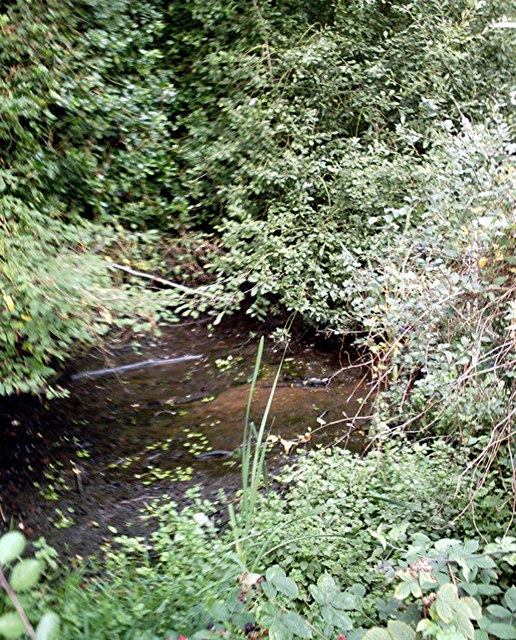
Boxiron Wood is a picturesque woodland located in the county of Essex, England. Situated near the village of Woodford, this enchanting forest covers an area of approximately 100 acres. The wood is named after the iron ore that was historically found in the area, which was used for making boxes and other ironwork.
As one enters Boxiron Wood, they are greeted by a diverse range of tree species, including oak, beech, and birch. The forest floor is carpeted with a rich assortment of wildflowers, creating a vibrant and colorful environment. The wood is also home to a variety of wildlife, such as deer, foxes, and numerous bird species, making it a popular spot for nature enthusiasts and birdwatchers.
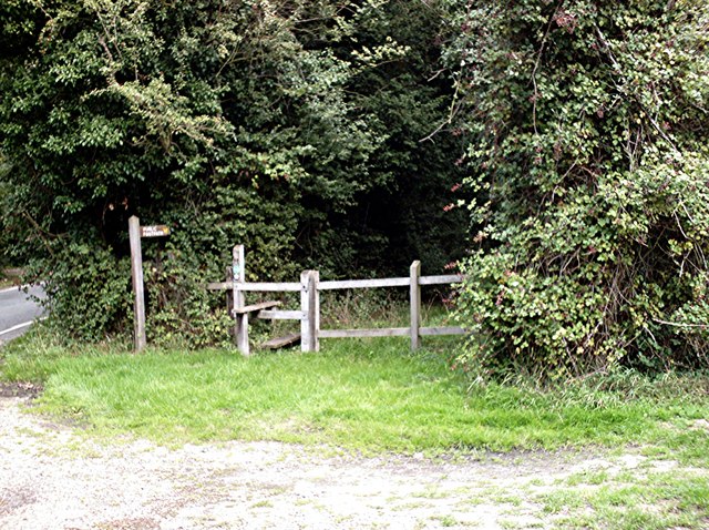
Tranquility and serenity are the defining characteristics of Boxiron Wood. The peaceful atmosphere and the absence of modern development create an ideal setting for those seeking solace in nature. The wood offers a network of well-maintained walking paths, allowing visitors to explore the area at their own pace. Walking through the leafy glades and listening to the sounds of chirping birds and rustling leaves is a truly immersive experience.
Boxiron Wood is also steeped in history. It is believed that the wood was once part of the ancient Forest of Essex, which covered a significant portion of the county. Remnants of the past, such as old tree stumps and earthworks, can still be found within the wood, providing a glimpse into its rich heritage.
In conclusion, Boxiron Wood in Essex is a captivating woodland that offers a peaceful retreat for nature lovers. Its diverse flora and fauna, coupled with its historical significance, make it a must-visit destination for anyone seeking to reconnect with the natural world.
If you have any feedback on the listing, please let us know in the comments section below.
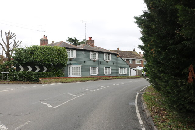
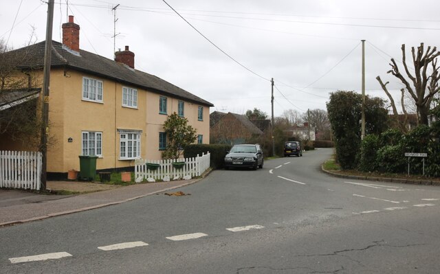
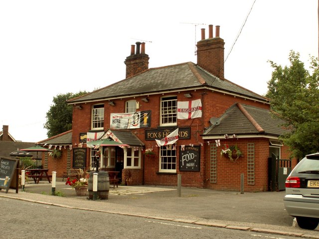
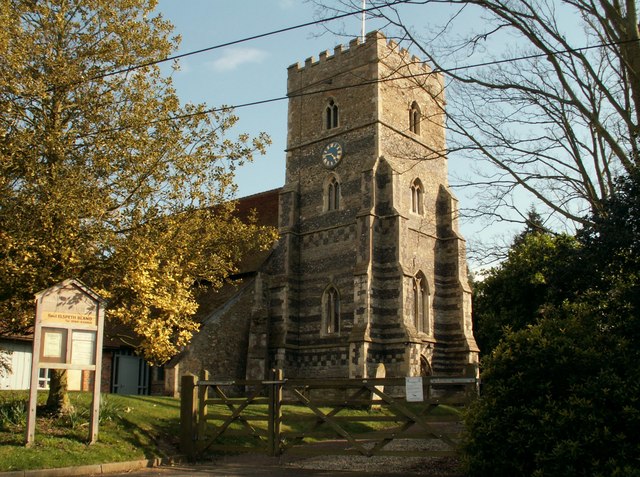
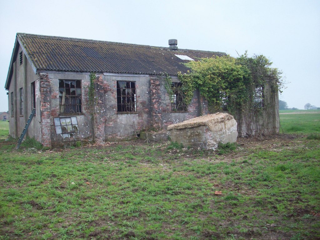
Boxiron Wood Images
Images are sourced within 2km of 51.699439/0.64243351 or Grid Reference TL8203. Thanks to Geograph Open Source API. All images are credited.


Boxiron Wood is located at Grid Ref: TL8203 (Lat: 51.699439, Lng: 0.64243351)
Administrative County: Essex
District: Maldon
Police Authority: Essex
What 3 Words
///feasted.global.toothpick. Near Cold Norton, Essex
Nearby Locations
Related Wikis

Hazeleigh
Hazeleigh is a village and civil parish on the Dengie peninsula in the English county of Essex. It lies 2.6 miles south-west of Maldon. == Hazeleigh... ==
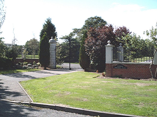
Woodham Mortimer
Woodham Mortimer is a village on the Dengie peninsula about three miles west-south-west of Maldon in the English county of Essex. The village is part of...
Purleigh
Purleigh is a village on the Dengie peninsula about 4 miles (6.4 km) south of Maldon in the English county of Essex. The village is part of the Purleigh...
Barons Lane Halt railway station
Barons Lane Halt railway station was a halt that served the village of Purleigh, Essex. It was 4 miles 24 chains (6.92 km) from Wickford Junction. The...

Maldon Wick
Maldon Wick is a 6.1-hectare (15-acre) nature reserve in Maldon in Essex. It is managed by the Essex Wildlife Trust.This is a 2.4 kilometres (1.5 mi) linear...

Maldon Sea Salt
Maldon Sea Salt is a salt-producing company in Maldon on the high-salinity banks of the River Blackwater in Essex, England. The river is favoured by flat...
Stow Maries Aerodrome
Stow Maries Aerodrome is a historical airfield located in the village of Stow Maries, Essex, England. The airfield was in use by the Royal Flying Corps...
Maldon West railway station
Maldon West railway station served the town of Maldon, Essex. It was opened on 1 October 1889 by the Great Eastern Railway on a branch line from Woodham...
Nearby Amenities
Located within 500m of 51.699439,0.64243351Have you been to Boxiron Wood?
Leave your review of Boxiron Wood below (or comments, questions and feedback).