Coxford Wood

Wood, Forest in Norfolk King's Lynn and West Norfolk

England

Coxford Wood

A new Wicken Green village sign for the Jubilee Made especially for the Queen's Platinum Jubilee it is so much nicer than its predecessor.
A new Wicken Green village sign for the Jubilee Credit: Adrian S Pye

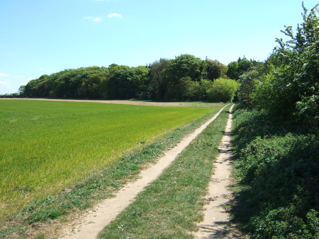
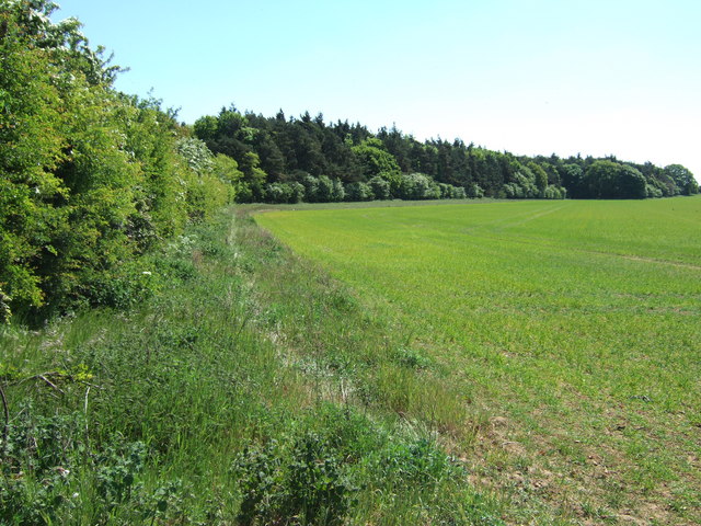
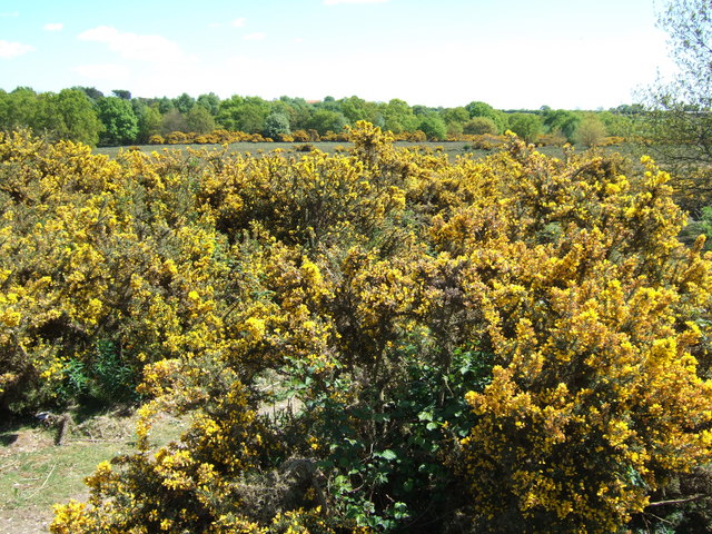
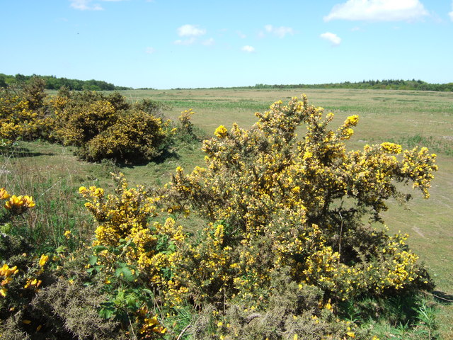
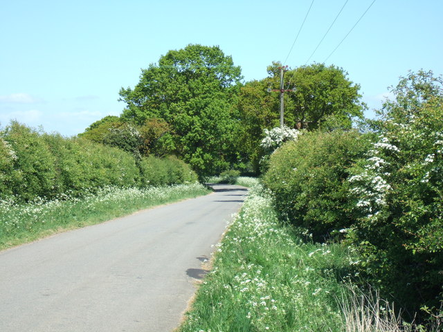
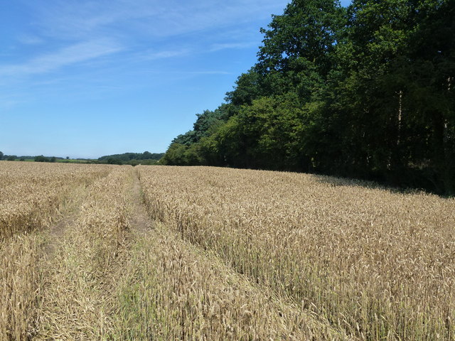
Coxford Wood is a picturesque woodland located in Norfolk, England. Covering an area of approximately 40 hectares, it is a popular destination for nature enthusiasts and outdoor enthusiasts alike. The wood is predominantly made up of indigenous broadleaf trees, including oak, birch, and beech, which provide a rich habitat for a variety of flora and fauna.

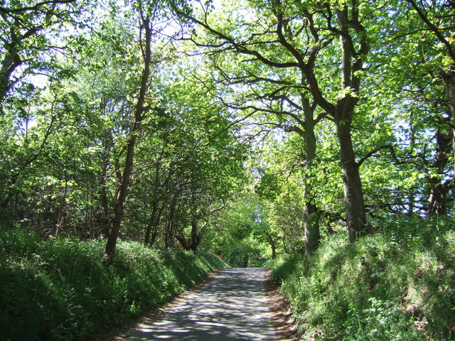
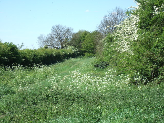
The woodland features an extensive network of well-maintained footpaths, allowing visitors to explore its diverse ecosystem. These paths wind through the wood, offering scenic views of the surrounding countryside and opportunities for birdwatching. Coxford Wood is home to a wide range of bird species, including woodpeckers, tits, and nuthatches, making it an ideal spot for bird lovers.

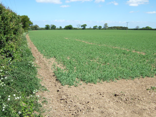
In addition to its natural beauty, Coxford Wood has historical significance. The wood was once part of a larger forest that covered much of Norfolk, known as the Great Wood of West Norfolk. Although much of the forest has been cleared over the centuries, Coxford Wood remains as a remnant of this ancient woodland.

The wood is managed by a local conservation group, who work to preserve its unique ecosystem and protect its biodiversity. They undertake regular maintenance tasks, such as coppicing, to promote the growth of young trees and encourage wildlife diversity.

Coxford Wood offers a tranquil and peaceful atmosphere, allowing visitors to connect with nature and enjoy the beauty of the countryside. It is a place where one can escape the hustle and bustle of everyday life and immerse themselves in the wonders of the natural world.

If you have any feedback on the listing, please let us know in the comments section below.

Coxford Wood Images

Images are sourced within 2km of 52.851624/0.71180958 or Grid Reference TF8231. Thanks to Geograph Open Source API. All images are credited.

A new Wicken Green village sign for the Jubilee Made especially for the Queen's Platinum Jubilee it is so much nicer than its predecessor.
A new Wicken Green village sign for the Jubilee
Made especially for the Queen's Platinum Jubilee it is so much nicer than its predecessor.
Concrete posts and a disused road This old road north west of Tattersett was probably cut off and made redundant when several roads in the area were re-routed to accommodate the construction of Sculthorpe Airfield
Concrete posts and a disused road
This old road north west of Tattersett was probably cut off and made redundant when several roads in the area were re-routed to accommodate the construction of Sculthorpe Airfield
The valley of the River Tat Between Syderstone and Tattersett in Norfolk. The trees on the right are Coxford Heath
The valley of the River Tat
Between Syderstone and Tattersett in Norfolk. The trees on the right are Coxford Heath
Coxford Heath in Norfolk Mid way between Syderstone and Tattersett
Coxford Heath in Norfolk
Mid way between Syderstone and Tattersett
Reflections in Wicken Pond On Tattersett Road south of Syderstone in Norfolk
Reflections in Wicken Pond
On Tattersett Road south of Syderstone in Norfolk
Lane in Coxford Wood On the edge of Syderstone Common and probably called Rudham Road? This road was cut in two by the B1454 which was one of several new roads constructed or diverted in the area when Sculthorpe Airfield was built in the mid 20th century
Lane in Coxford Wood
On the edge of Syderstone Common and probably called Rudham Road? This road was cut in two by the B1454 which was one of several new roads constructed or diverted in the area when Sculthorpe Airfield was built in the mid 20th century
Track to Manor Ling, Syderstone, Norfolk
Farmland near Manor Ling north of  Syderstone in Norfolk
Farmland near Manor Ling north of Syderstone in Norfolk
Gorse bushes on Syderstone Common in Norfolk A view looking east from Rudham Road
Gorse bushes on Syderstone Common in Norfolk
A view looking east from Rudham Road
Syderstone Common in Norfolk
Green lane and footpath north of Syderstone, Norfolk
Crop of peas near Syderstone
Lane heading north from Syderstone in Norfolk
Wheatfield next to Barmer Common Plantation A footpath runs at the edge of the plantation
Wheatfield next to Barmer Common Plantation
A footpath runs at the edge of the plantation
Driveway from Wicken Pond Farm to Road Looking south-westward.
Driveway from Wicken Pond Farm to Road
Looking south-westward.
The Church of St Mary at Syderstone Viewed from the north-west.
The Church of St Mary at Syderstone
Viewed from the north-west.
The Street in Syderstone Looking westward.
The Street in Syderstone
Looking westward.
Ordnance Survey Cut Mark This can be found on the wall of St Mary's Church, Syderstone.
For more detail see : <span class="nowrap"><a title="http://www.bench-marks.org.uk/bm53219" rel="nofollow ugc noopener" href="http://www.bench-marks.org.uk/bm53219">Link</a><img style="margin-left:2px;" alt="External link" title="External link - shift click to open in new window" src="https://s1.geograph.org.uk/img/external.png" width="10" height="10"/></span>
Ordnance Survey Cut Mark
This can be found on the wall of St Mary's Church, Syderstone. For more detail see : LinkExternal link
Show me another place!

Coxford Wood is located at Grid Ref: TF8231 (Lat: 52.851624, Lng: 0.71180958)

Administrative County: Norfolk

District: King's Lynn and West Norfolk

Police Authority: Norfolk

What 3 Words

///haggis.warbler.signified. Near Fakenham, Norfolk

Related Wikis

Syderstone Common

Syderstone Common is a 43.7-hectare (108-acre) biological Site of Special Scientific Interest west of Fakenham in Norfolk. An area of 24-hectare (59-acre...

Syderstone

Syderstone is a civil parish in the English county of Norfolk, near the town of Fakenham. It has an area of 9.94 km2 (3.84 sq mi). The population of 532...

Tattersett

Tattersett is a village and civil parish in the English county of Norfolk. It covers an area of 11.38 square kilometres (4.39 square miles), and had a...

Bagthorpe with Barmer

Bagthorpe with Barmer is a civil parish in the English county of Norfolk. The parish includes the hamlets of Bagthorpe and Barmer, it is around 7+1⁄2 miles...

Sculthorpe Training Area

Sculthorpe Training Area, previously Royal Air Force Station Sculthorpe and commonly abbreviated RAF Sculthorpe, is a training site owned by the British...
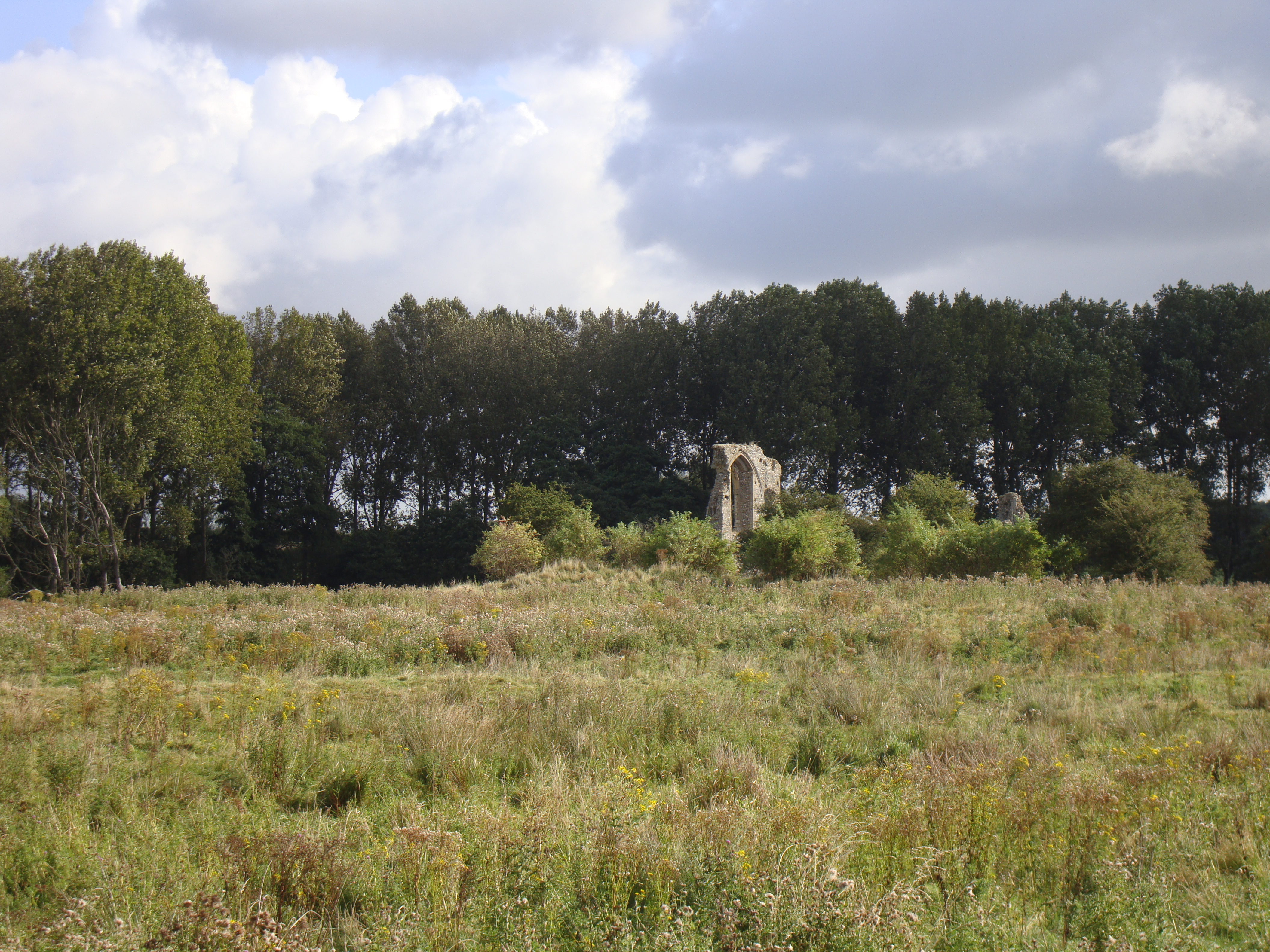
Coxford Priory

Coxford Priory or Broomsthorpe Priory was a monastic house in Norfolk, England. An Augustinian Canons Regular establishment, initially founded around 1140...
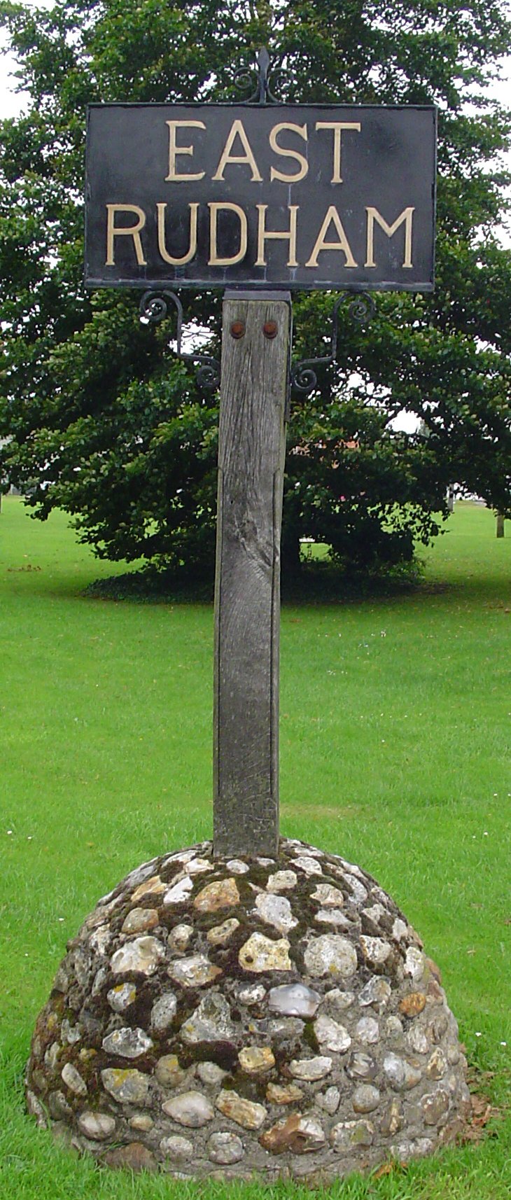
East Rudham

East Rudham is a village and civil parish in the English county of Norfolk. The village is located 14 miles (23 km) north-east of King's Lynn and 28 miles...

West Rudham

West Rudham is a civil parish in the English county of Norfolk. The village straddles the A148 King's Lynn to Cromer road. It covers an area of 11.81 km2...

Nearby Amenities

Located within 500m of 52.851624,0.71180958
Fixme: incomplete
Lat/Long: 52.8493281/0.7084332
Fixme: incomplete
Lat/Long: 52.8485884/0.7164501
The data included in this document is from www.openstreetmap.org. The data is made available under ODbL.

Have you been to Coxford Wood?

Leave your review of Coxford Wood below (or comments, questions and feedback).