Twelve Acre Plantation
Wood, Forest in Norfolk Breckland
England
Twelve Acre Plantation

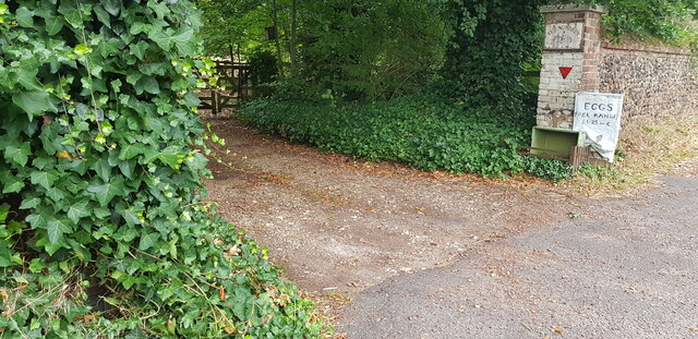
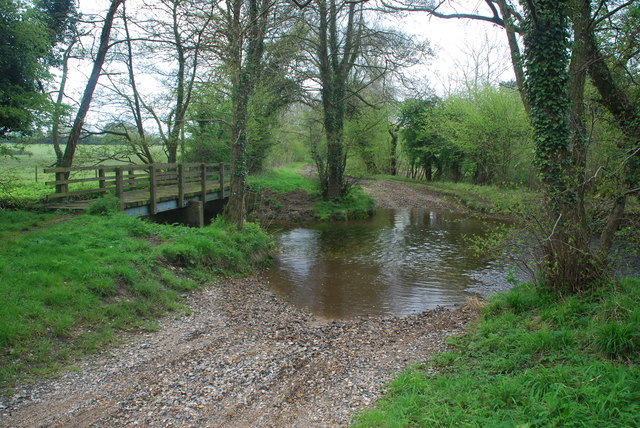
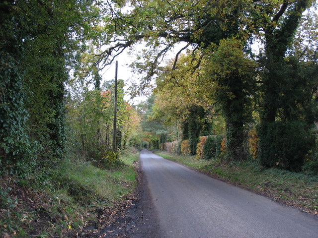
Twelve Acre Plantation, located in Norfolk, is a picturesque woodland area spanning over twelve acres. Nestled in the heart of the county, this plantation boasts a variety of trees and flora, making it a haven for nature enthusiasts and those seeking tranquility.
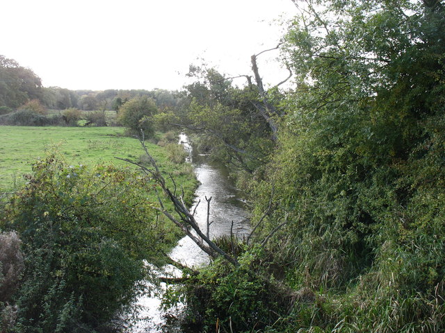
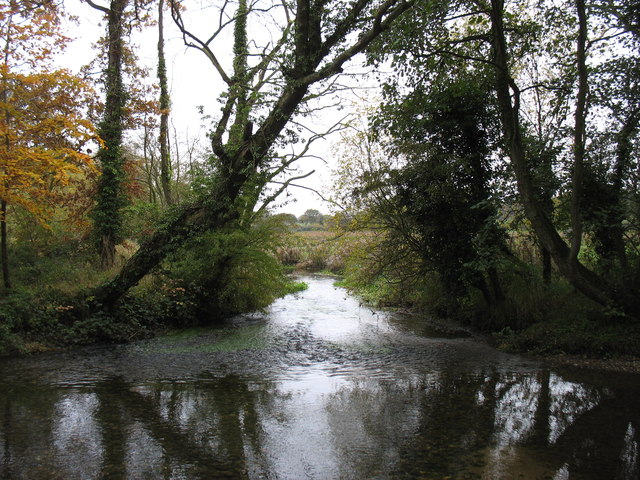
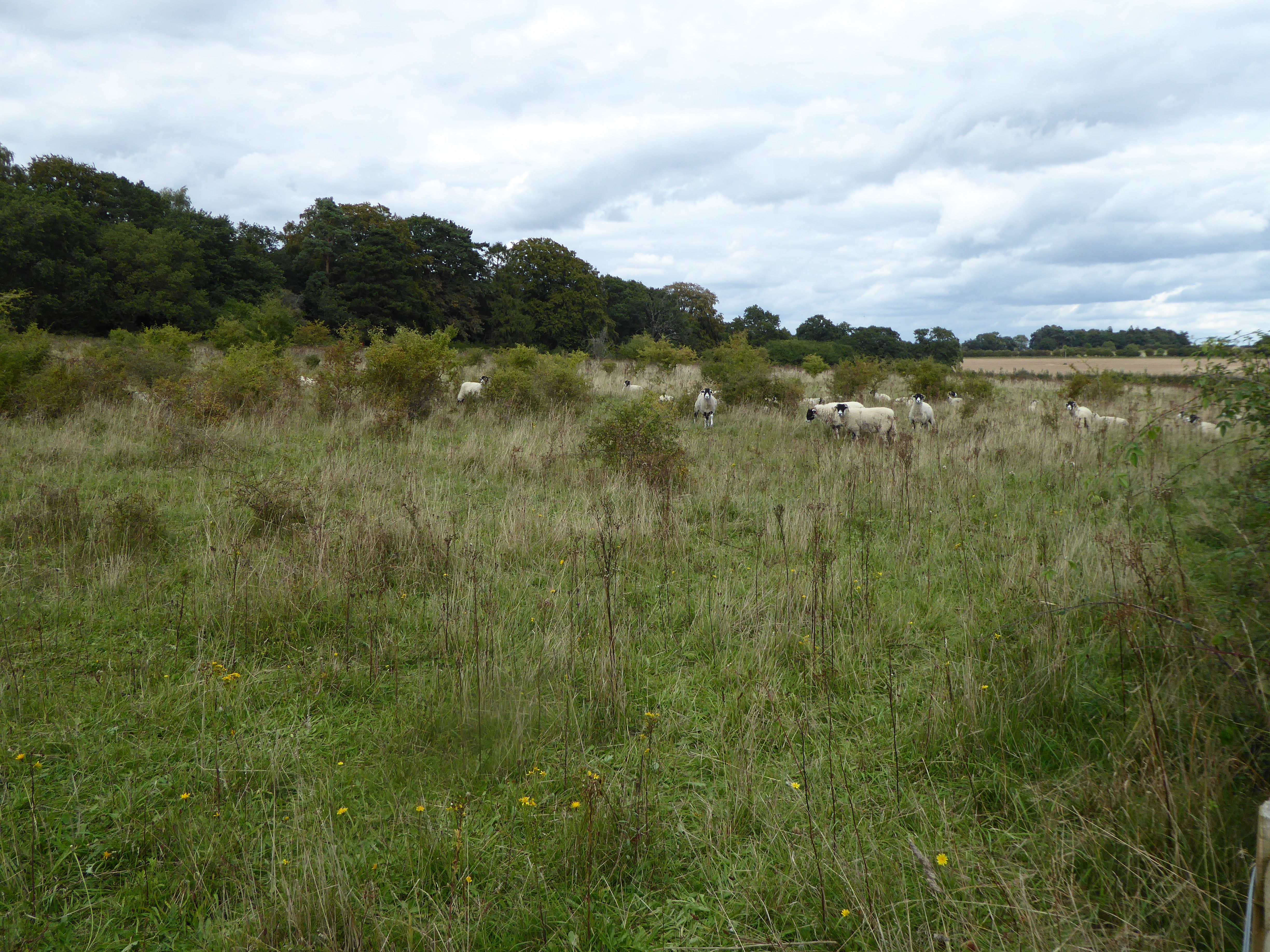
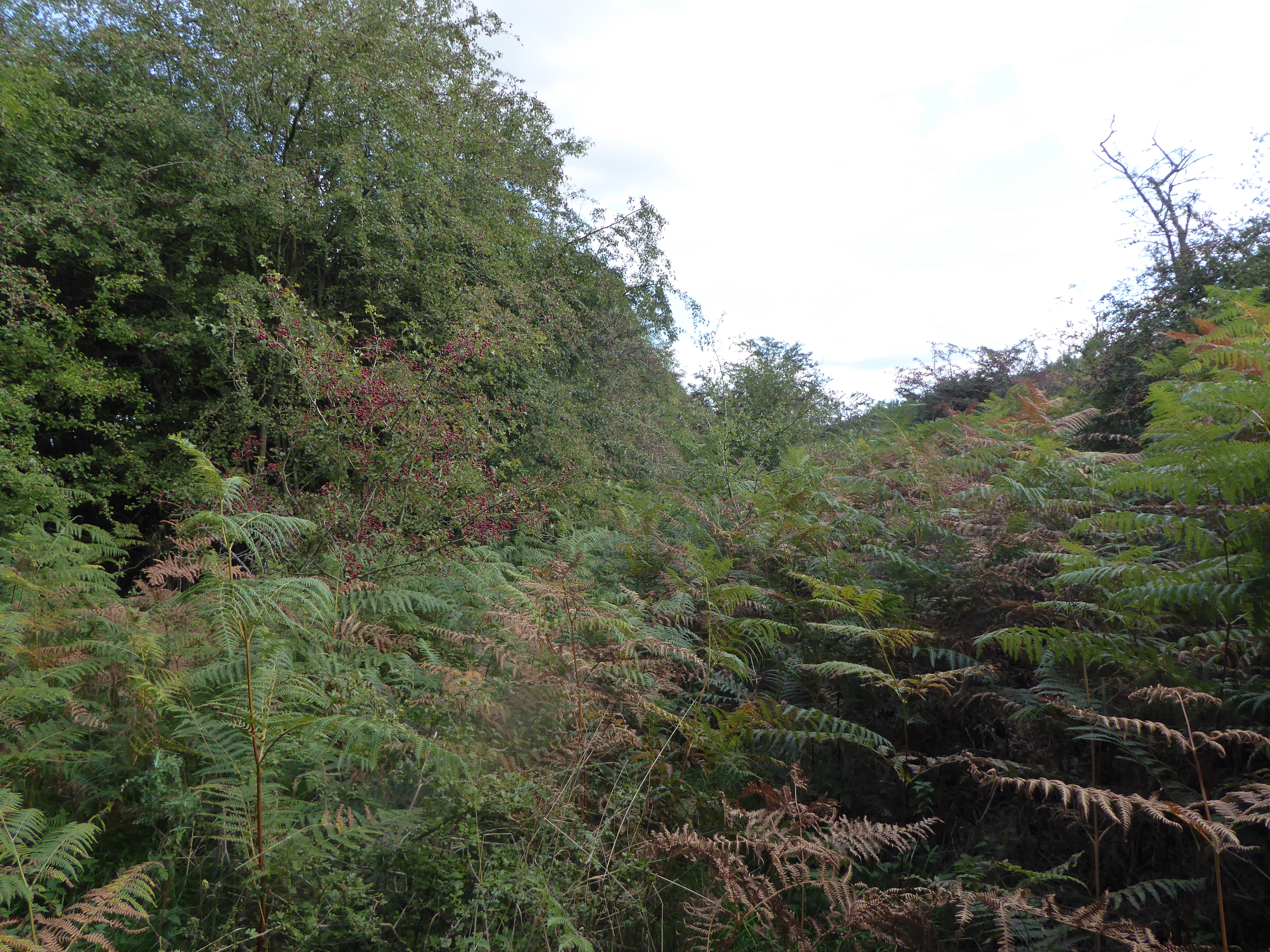
The woodland is primarily dominated by oak and beech trees, creating a dense canopy that provides shade and shelter to an array of wildlife species. The forest floor is covered in a lush carpet of moss, ferns, and wildflowers, adding to the enchanting atmosphere of the plantation.
The diverse range of bird species found in Twelve Acre Plantation makes it a popular destination for birdwatchers. Visitors can spot various woodland birds such as woodpeckers, thrushes, and finches, as well as seasonal migrants that pass through the area. Butterflies and other insects also thrive in this habitat, adding splashes of color to the serene landscape.
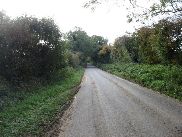
The plantation offers several walking trails, allowing visitors to explore the woodland at their own pace. These trails wind through the plantation, taking hikers past babbling brooks, small ponds, and ancient trees. The well-maintained paths are suitable for all ages and abilities, making Twelve Acre Plantation an ideal destination for families, nature lovers, and avid walkers alike.
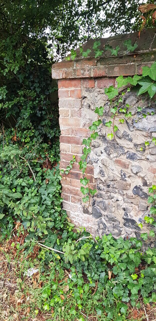
In addition to its natural beauty, Twelve Acre Plantation also has historical significance. The plantation has been in existence for over a century and has witnessed the passage of time. It serves as a reminder of Norfolk's agricultural heritage and the importance of preserving natural landscapes.
Overall, Twelve Acre Plantation is a captivating woodland retreat that offers a peaceful escape from the hustle and bustle of everyday life. With its stunning scenery, diverse wildlife, and historical charm, it is a must-visit destination for anyone seeking a connection with nature.
If you have any feedback on the listing, please let us know in the comments section below.
Twelve Acre Plantation Images
Images are sourced within 2km of 52.57825/0.69488493 or Grid Reference TF8201. Thanks to Geograph Open Source API. All images are credited.


Twelve Acre Plantation is located at Grid Ref: TF8201 (Lat: 52.57825, Lng: 0.69488493)
Administrative County: Norfolk
District: Breckland
Police Authority: Norfolk
What 3 Words
///inflict.inspected.fillings. Near Ashill, Norfolk
Nearby Locations
Related Wikis

Hilborough
Hilborough is a village and a civil parish in the English county of Norfolk. The village is 5.5 miles (8.9 km) south of Swaffham, 25.4 miles (40.9 km)...
Field Barn Heaths, Hilborough
Field Barn Heaths, Hilborough is a 17.9-hectare (44-acre) biological Site of Special Scientific Interest north-west of Hilborough in Norfolk. It is part...
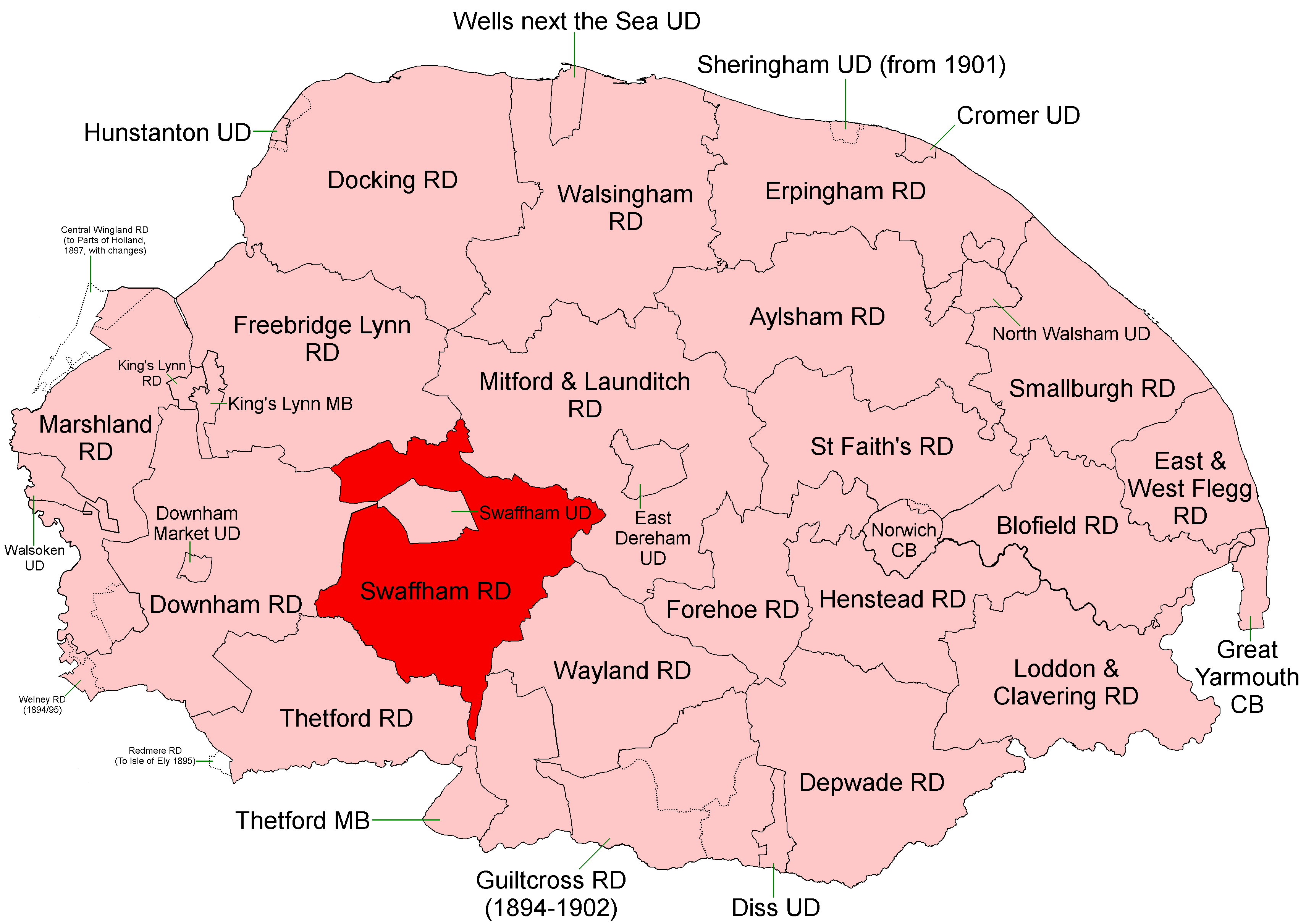
Swaffham Rural District
Swaffham Rural District was a rural district in Norfolk, England from 1894 to 1974.It was formed under the Local Government Act 1894 based on the Swaffham...

Hooks Well Meadows, Great Cressingham
Hooks Well Meadows, Great Cressingham is a 15.6-hectare (39-acre) biological Site of Special Scientific Interest near Great Cressingham] in Norfolk.This...

RAF Bodney
Royal Air Force Bodney or more simply RAF Bodney is a former Royal Air Force Station located 4.5 miles (7.2 km) west of Watton, Norfolk, England. Originally...

Great Cressingham Fen
Great Cressingham Fen is a 14.3-hectare (35-acre) biological Site of Special Scientific Interest near Great Cressingham in Norfolk. It is part of the Norfolk...

Old Bodney Camp
Old Bodney Camp is a 32.8-hectare (81-acre) biological Site of Special Scientific Interest west of Little Cressingham in Norfolk. It is part of the Breckland...
Gooderstone Warren
Gooderstone Warren is a 21.6-hectare (53-acre) biological Site of Special Scientific Interest south of Cockley Cley in Norfolk. It is part of the Breckland...
Nearby Amenities
Located within 500m of 52.57825,0.69488493Have you been to Twelve Acre Plantation?
Leave your review of Twelve Acre Plantation below (or comments, questions and feedback).