Adkin's Wood
Wood, Forest in Suffolk West Suffolk
England
Adkin's Wood
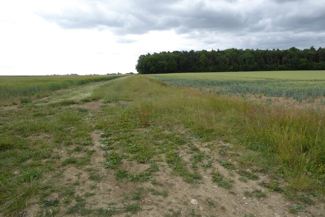
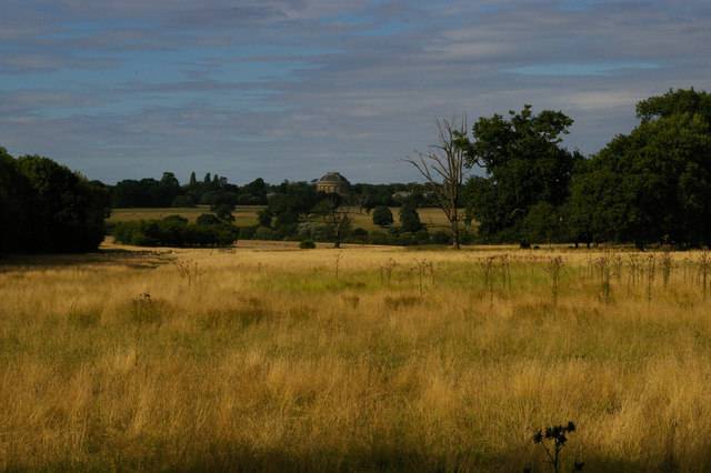
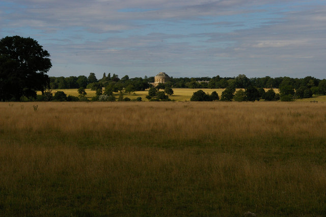
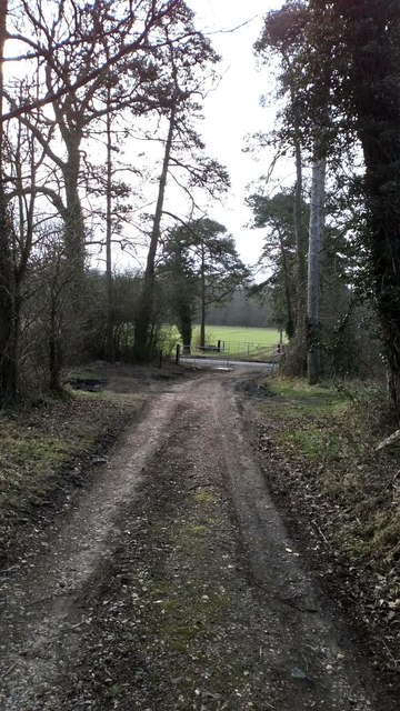
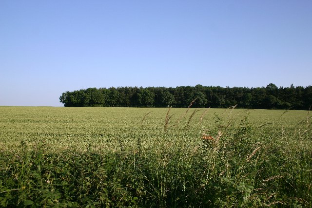
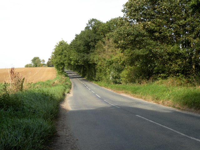
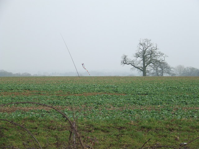
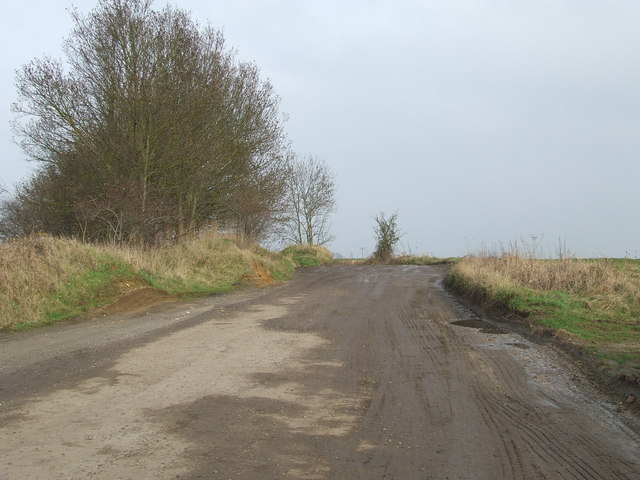
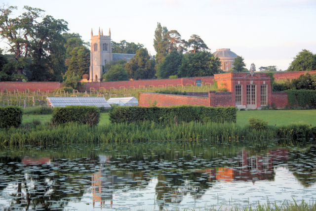
Adkin's Wood, located in Suffolk, England, is a charming woodland area that covers approximately 50 acres of land. It is known for its serene and untouched natural beauty, making it a popular destination for nature enthusiasts and outdoor lovers.
The wood is predominantly made up of a diverse range of deciduous trees, including oak, beech, and birch, which provide a stunning display of colors during the autumn season. The tree canopy creates a cool and shaded environment, perfect for leisurely walks or picnics on hot summer days.
Adkin's Wood is also home to a variety of wildlife, including squirrels, rabbits, and an array of bird species. Birdwatchers can often spot woodpeckers, jays, and thrushes among the branches, adding to the area's natural allure.
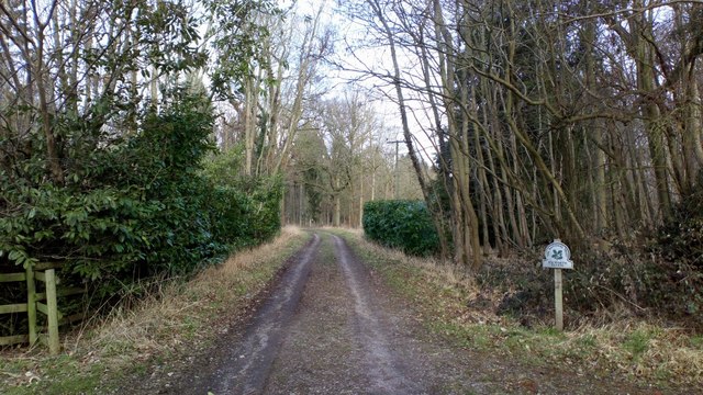
The wood is crisscrossed with several well-maintained footpaths, allowing visitors to explore its hidden corners and discover its hidden treasures. These paths are suitable for both casual strolls and more adventurous hikes, catering to all levels of fitness and interest.
There are also designated areas within the wood for camping and birdwatching, making it an ideal spot for those who wish to spend more time immersed in nature. Visitors can bring their tents and spend a night under the stars, surrounded by the peaceful sounds of the forest.
Overall, Adkin's Wood in Suffolk offers a tranquil escape from the hustle and bustle of city life, providing a sanctuary for both humans and wildlife alike. Its natural beauty and serenity make it a must-visit destination for anyone seeking a connection with nature.
If you have any feedback on the listing, please let us know in the comments section below.
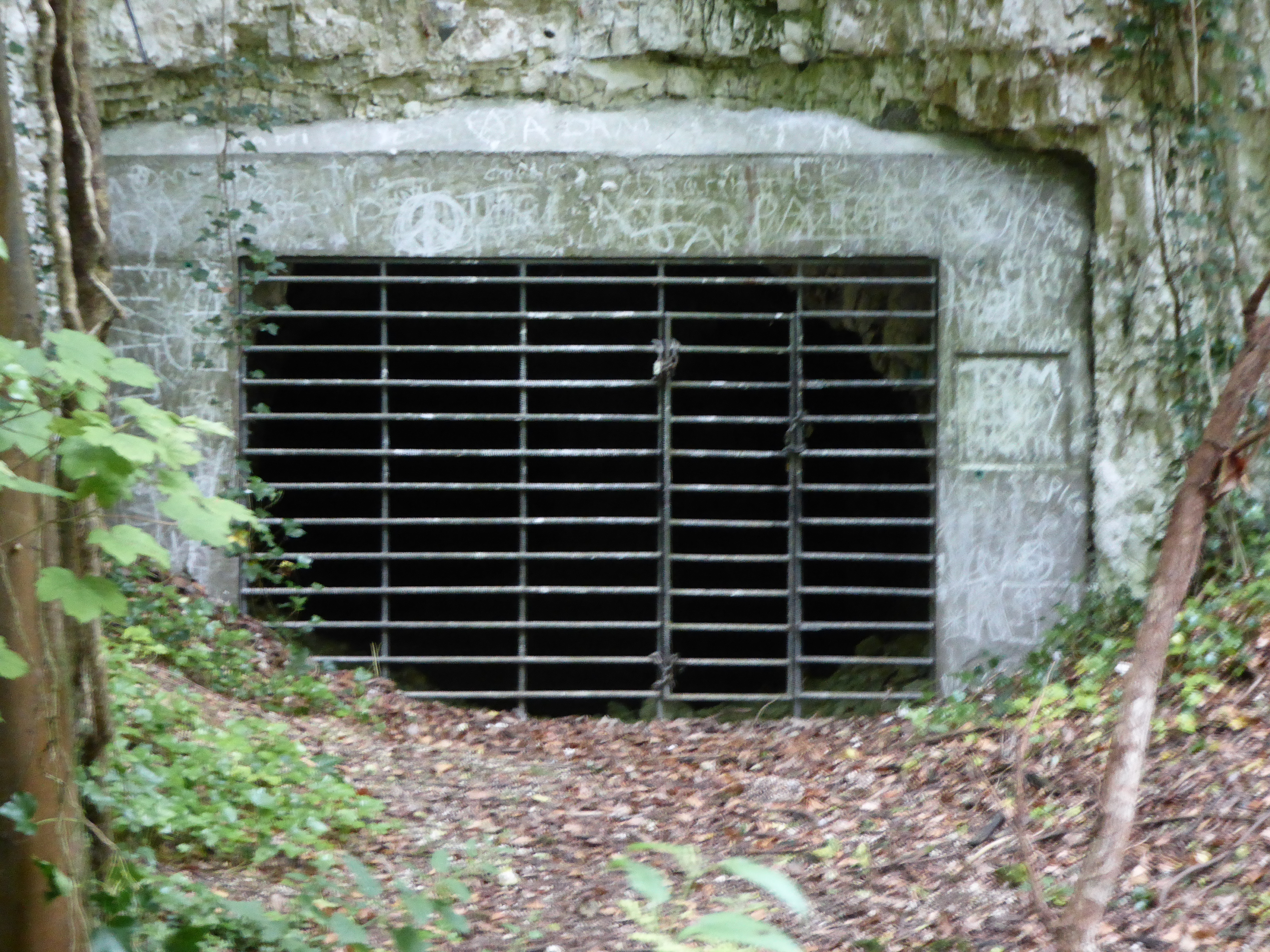
Adkin's Wood Images
Images are sourced within 2km of 52.222502/0.667574 or Grid Reference TL8261. Thanks to Geograph Open Source API. All images are credited.
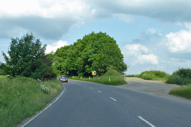
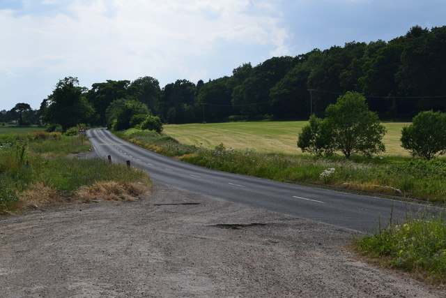


Adkin's Wood is located at Grid Ref: TL8261 (Lat: 52.222502, Lng: 0.667574)
Administrative County: Suffolk
District: West Suffolk
Police Authority: Suffolk
What 3 Words
///tadpoles.labs.inspector. Near Bury St Edmunds, Suffolk
Nearby Locations
Related Wikis

Horringer
Horringer, formerly also called Horningsheath, is a village and civil parish in the West Suffolk district of Suffolk in eastern England. It lies on the...
Ickworth
Ickworth is a small civil parish, almost coextensive with the estate of the National Trust's Ickworth House, in the West Suffolk district of Suffolk, eastern...

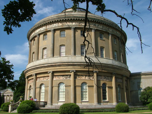
Ickworth House
Ickworth House is a country house at Ickworth, near Bury St Edmunds, Suffolk, England. It is a neoclassical building set in parkland. The house was the...

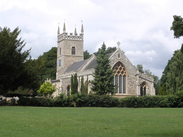
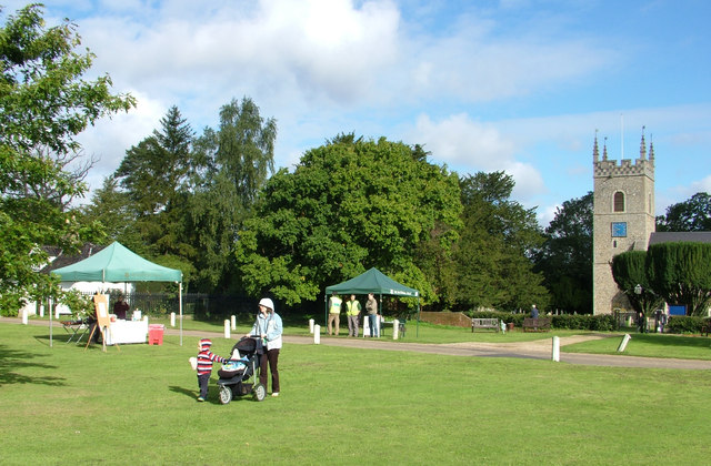
St Mary's Church, Ickworth
Ickworth Church (more formally known as St Mary's Church, Ickworth) is a former parish church in Ickworth Park near Bury St Edmunds in Suffolk, England...

Little Horringer Hall
Little Horringer Hall is a Grade II-listed house in Horringer, Bury St Edmunds, Suffolk, England.There has been a hall in this location since the 17th...
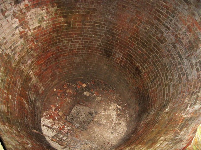
Horringer Court Caves
Horringer Court Caves is a 3.8-hectare (9.4-acre) biological Site of Special Scientific Interest on the southern outskirts of Bury St Edmunds in Suffolk...

Thingoe Rural District
Thingoe Rural District was a rural district in the county of West Suffolk, England between 1894 and 1974. It was named after the ancient Hundred of Thingoe...
RAF Westley
RAF Westley is a former Royal Air Force satellite airfield located to the west of Bury St Edmunds, Suffolk, England, between 1938 and 1946. It was established...
Nearby Amenities
Located within 500m of 52.222502,0.667574Have you been to Adkin's Wood?
Leave your review of Adkin's Wood below (or comments, questions and feedback).