Elizabeth Grove
Wood, Forest in Suffolk West Suffolk
England
Elizabeth Grove

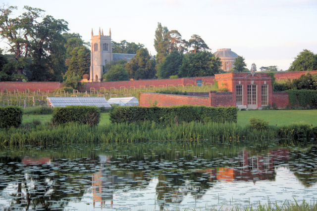
Elizabeth Grove is a charming neighborhood located in Suffolk, England. Nestled amidst a picturesque wood and forest landscape, this residential area offers a tranquil and serene atmosphere for its residents. The Grove, as it is often referred to by locals, is known for its natural beauty and close proximity to various outdoor recreational activities.
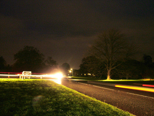
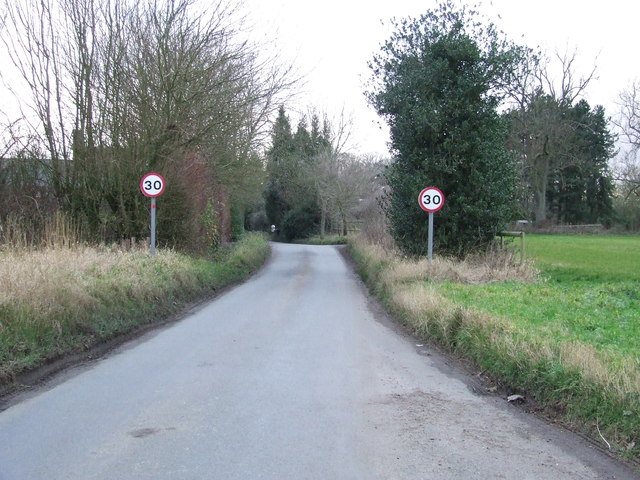
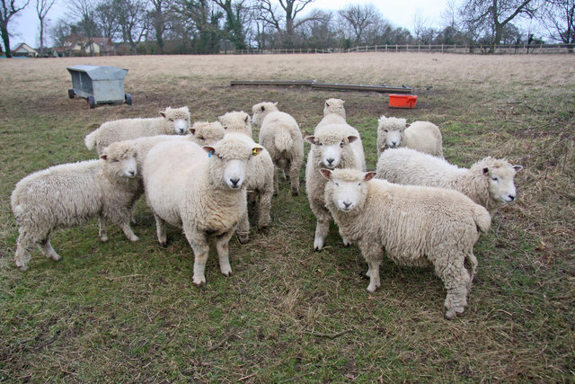
One of the main highlights of Elizabeth Grove is its surrounding wood and forest areas, which are perfect for nature enthusiasts and outdoor lovers. The woodlands provide ample opportunities for hiking, walking, and exploring the scenic trails. The forest, on the other hand, offers a peaceful retreat for those seeking solitude and a chance to immerse themselves in the serene environment.
The neighborhood itself is a close-knit community, with a mix of detached houses, semi-detached homes, and cottages. The properties in Elizabeth Grove are known for their traditional architecture and well-maintained gardens, adding to the overall charm of the area. The streets are lined with beautiful trees, providing shade and a pleasant ambiance.
Residents of Elizabeth Grove enjoy a range of amenities and facilities within close proximity. The nearby town center offers a variety of shops, cafes, and restaurants, catering to the daily needs and leisure activities of the residents. Additionally, there are several schools and recreational facilities in the area, making it an ideal place for families.
Overall, Elizabeth Grove in Suffolk is a peaceful and idyllic neighborhood, offering a harmonious blend of natural beauty and community spirit. With its wood and forest surroundings, it provides residents with ample opportunities to connect with nature and enjoy a high quality of life.
If you have any feedback on the listing, please let us know in the comments section below.
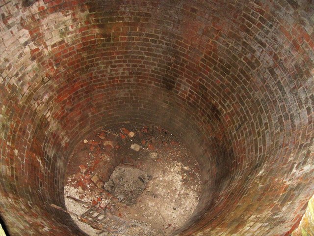
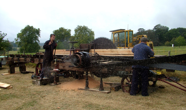
Elizabeth Grove Images
Images are sourced within 2km of 52.228125/0.6678965 or Grid Reference TL8262. Thanks to Geograph Open Source API. All images are credited.


Elizabeth Grove is located at Grid Ref: TL8262 (Lat: 52.228125, Lng: 0.6678965)
Administrative County: Suffolk
District: West Suffolk
Police Authority: Suffolk
What 3 Words
///lavished.owners.hiker. Near Bury St Edmunds, Suffolk
Nearby Locations
Related Wikis

Horringer
Horringer, formerly also called Horningsheath, is a village and civil parish in the West Suffolk district of Suffolk in eastern England. It lies on the...

Little Horringer Hall
Little Horringer Hall is a Grade II-listed house in Horringer, Bury St Edmunds, Suffolk, England.There has been a hall in this location since the 17th...

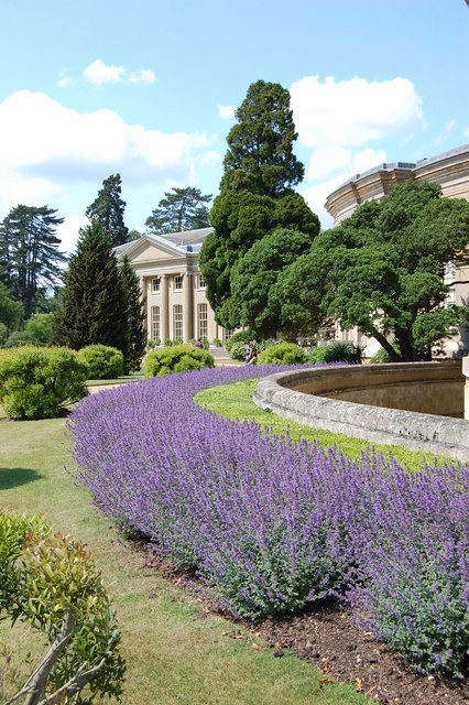
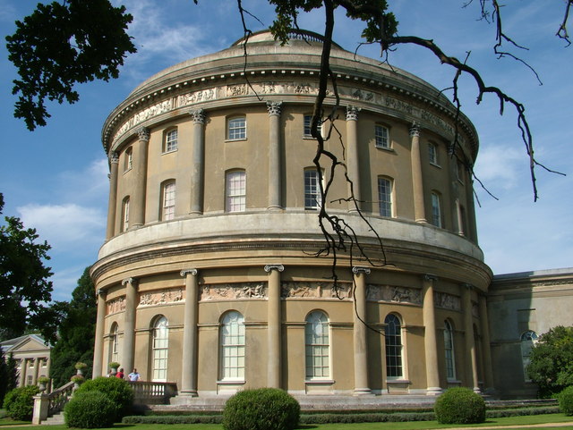
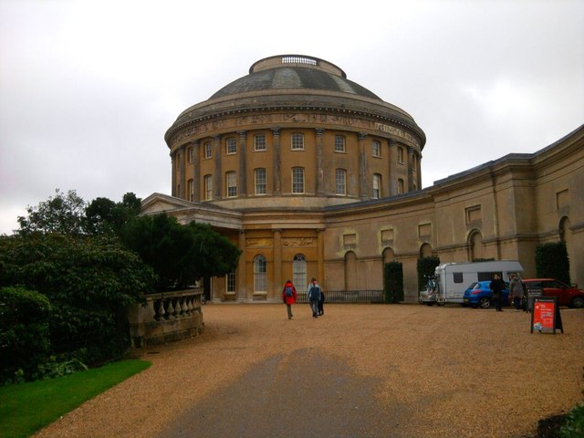
Ickworth House
Ickworth House is a country house at Ickworth, near Bury St Edmunds, Suffolk, England. It is a neoclassical building set in parkland. The house was the...
Ickworth
Ickworth is a small civil parish, almost coextensive with the estate of the National Trust's Ickworth House, in the West Suffolk district of Suffolk, eastern...
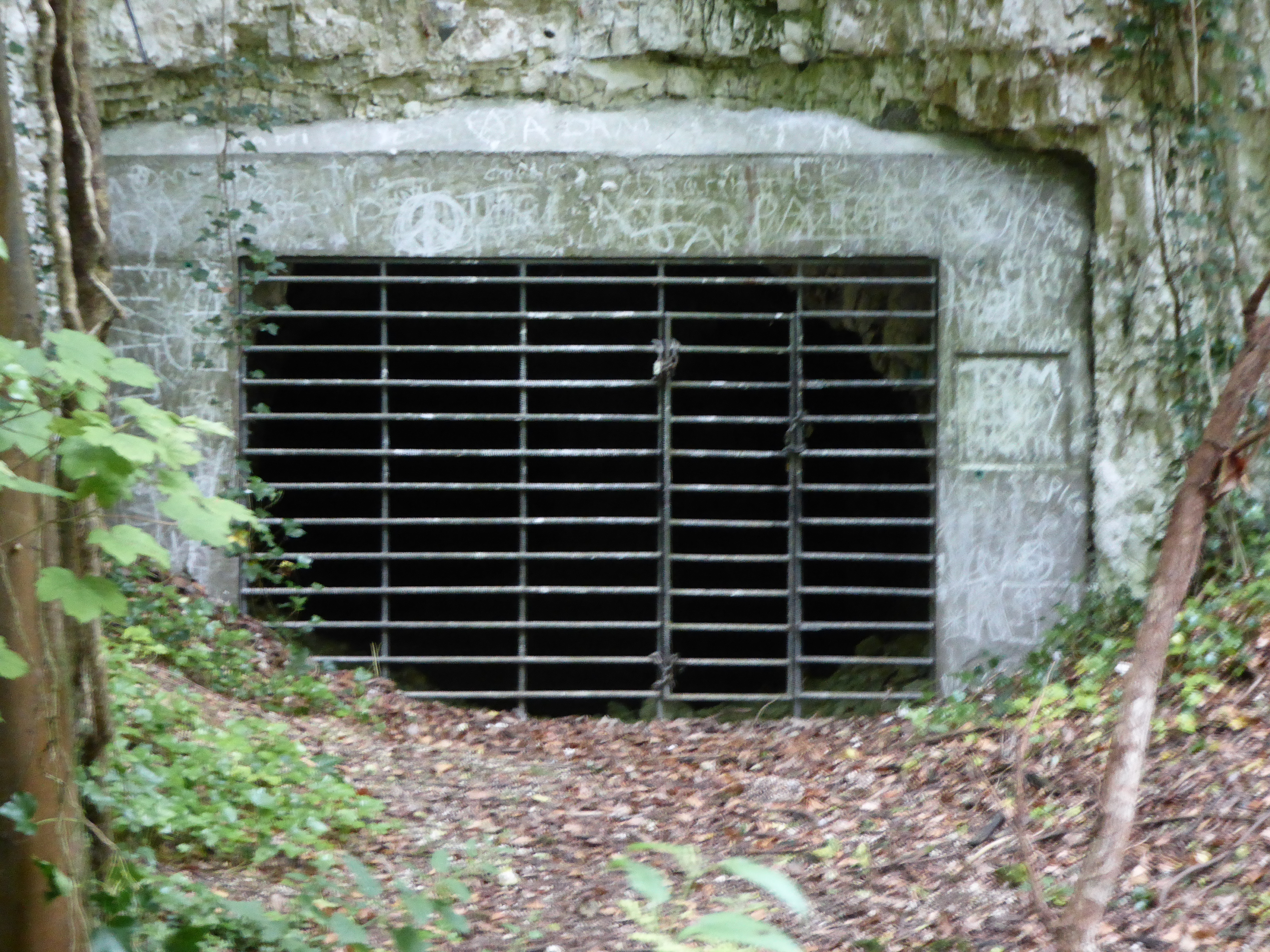
Horringer Court Caves
Horringer Court Caves is a 3.8-hectare (9.4-acre) biological Site of Special Scientific Interest on the southern outskirts of Bury St Edmunds in Suffolk...

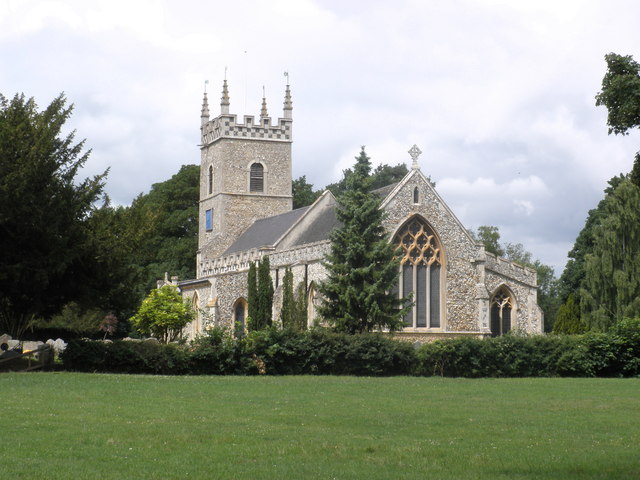
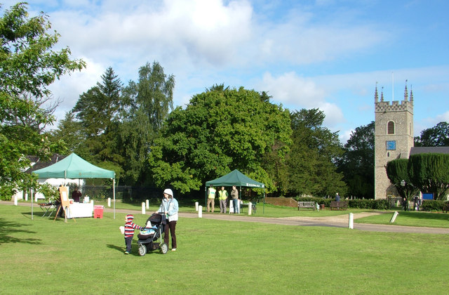
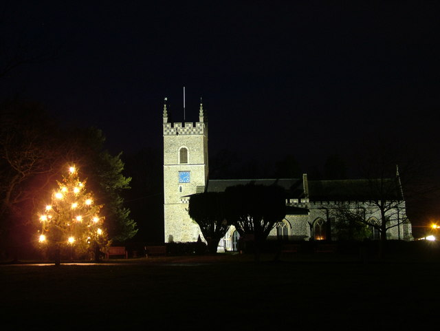
St Mary's Church, Ickworth
Ickworth Church (more formally known as St Mary's Church, Ickworth) is a former parish church in Ickworth Park near Bury St Edmunds in Suffolk, England...
RAF Westley
RAF Westley is a former Royal Air Force satellite airfield located to the west of Bury St Edmunds, Suffolk, England, between 1938 and 1946. It was established...

Westley, Suffolk
Westley is a village and civil parish in the West Suffolk district of Suffolk in eastern England. It is located south of Junction 42 of the A14 providing...
Related Videos

Beautiful is England, Series 2 (4K) — Hiking “Ickworth Monument Multi-use Trail” in Suffolk
A quiet walk along the circular Ickford Trail in beautiful Suffolk, England, accompanied by a simple piano song composed by my ...
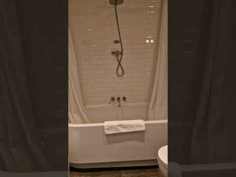
Lord Bristol room at The Ickworth Hotel
A room tour of our lovely room staying at The Ickworth Hotel in Bury St Edmons. Highly recommend this hotel for their child friendly ...


Nearby Amenities
Located within 500m of 52.228125,0.6678965Have you been to Elizabeth Grove?
Leave your review of Elizabeth Grove below (or comments, questions and feedback).