Dripping Pan Wood
Wood, Forest in Suffolk Babergh
England
Dripping Pan Wood
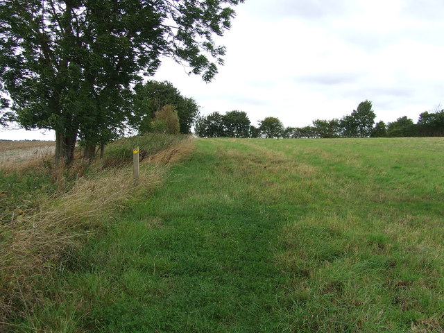
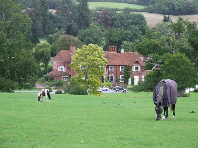
Dripping Pan Wood is a scenic forest located in Suffolk, England. Spanning approximately 100 acres, it is a popular destination for nature enthusiasts and hikers due to its diverse flora and fauna. The wood is part of the larger South Suffolk Forest, which encompasses several other woodlands in the region.
The woodland consists mainly of broadleaf trees, including oak, beech, and ash, which create a stunning canopy during the summer months. The forest floor is covered in a rich carpet of bluebells and other wildflowers, adding to the charm and natural beauty of the area.
Dripping Pan Wood is home to a variety of wildlife, making it an ideal spot for birdwatching and animal spotting. Visitors may have the opportunity to see woodland birds such as woodpeckers, thrushes, and owls, as well as mammals like deer, foxes, and badgers.
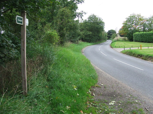
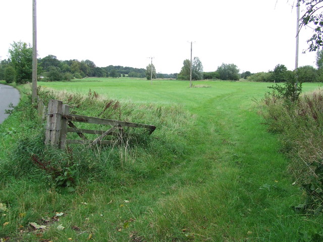
The forest offers several walking trails, allowing visitors to explore its scenic beauty at their own pace. These trails vary in difficulty, catering to both casual strollers and more experienced hikers. Along the way, there are numerous benches and picnic spots where visitors can take a break and enjoy the peaceful surroundings.
Managed by the Suffolk Wildlife Trust, Dripping Pan Wood is committed to conservation and preserving the natural habitat. The trust regularly organizes events and educational programs to raise awareness about the importance of woodland ecosystems and wildlife conservation.
Overall, Dripping Pan Wood is a delightful destination for those seeking a tranquil escape into nature. With its picturesque landscapes and abundant wildlife, it offers a truly immersive experience in the heart of Suffolk's countryside.
If you have any feedback on the listing, please let us know in the comments section below.
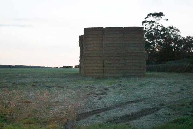
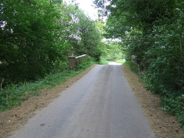
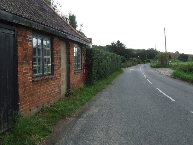
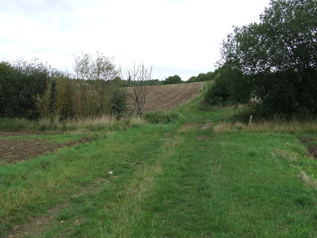
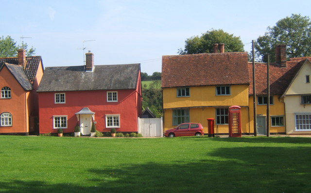
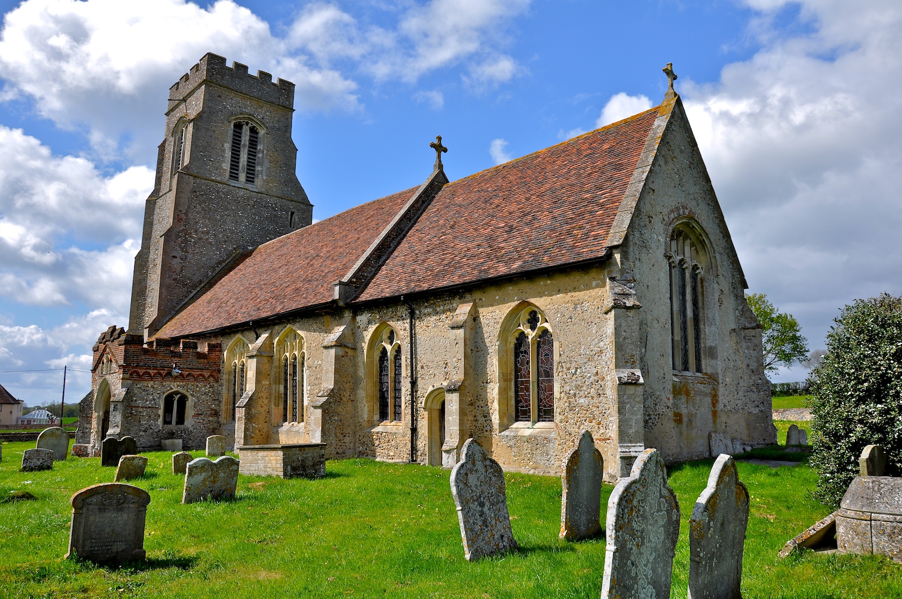
Dripping Pan Wood Images
Images are sourced within 2km of 52.127766/0.65828601 or Grid Reference TL8251. Thanks to Geograph Open Source API. All images are credited.


Dripping Pan Wood is located at Grid Ref: TL8251 (Lat: 52.127766, Lng: 0.65828601)
Administrative County: Suffolk
District: Babergh
Police Authority: Suffolk
What 3 Words
///salutes.pigtails.dangerously. Near Glemsford, Suffolk
Nearby Locations
Related Wikis

Boxted, Suffolk
Boxted is a village and civil parish in the Babergh district of Suffolk, England. Located around 8 miles (13 km) north of Sudbury, in 2005 it had a population...
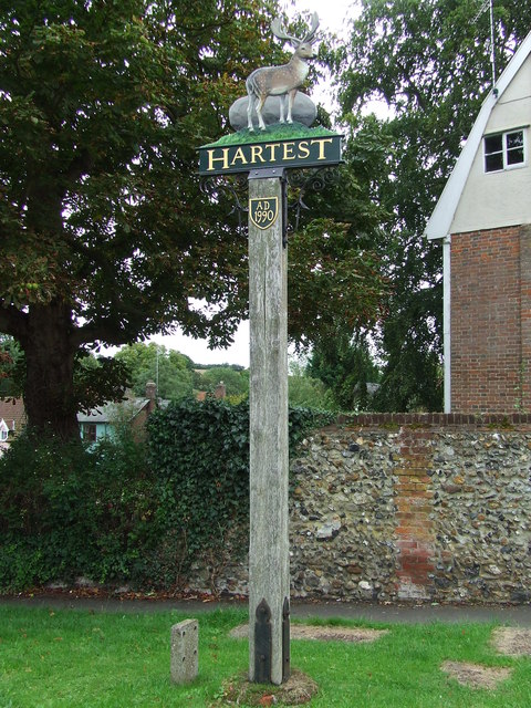
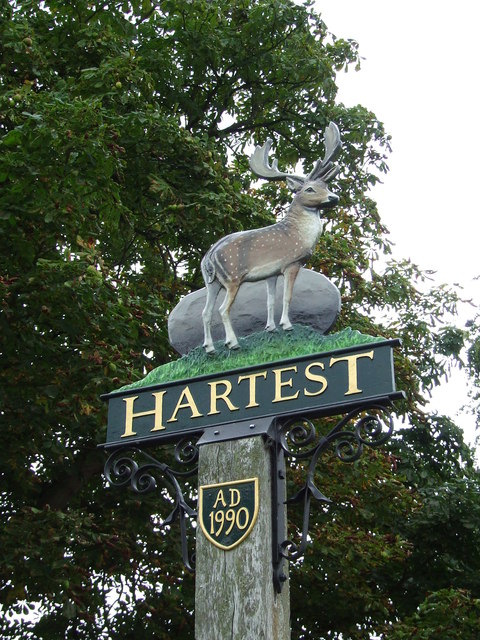
Hartest
Hartest is a small village and civil parish in the Babergh district of the English county of Suffolk. It is located halfway between Bury St. Edmunds and...

Somerton, Suffolk
Somerton is a civil parish in the Babergh district of Suffolk in eastern England. Somerton is split into two smaller villages: Upper Somerton with a population...
Hawkedon
Hawkedon is a village and civil parish in the West Suffolk district of Suffolk in eastern England. Located around 7 miles (11 km) south-south-west of Bury...

Audley End, Suffolk
Audley End is a hamlet in the civil parish of Lawshall in the Babergh district in the county of Suffolk, England. It is located between Lambs Lane and...

Glemsford
Glemsford is a village in the Babergh district in Suffolk, England, near the town of Sudbury. Glemsford is located near the River Glem and the River Stour...

Stanstead, Suffolk
Stanstead is a village and civil parish in Suffolk, England. The name Stanstead comes from the Old English for "Stony place". Located off the B1066, it...

Brockley, Suffolk
Brockley (not to be confused with Brockley Green, 8 miles (13 km) southwest in Hundon parish) is a village and civil parish in the West Suffolk district...
Nearby Amenities
Located within 500m of 52.127766,0.65828601Have you been to Dripping Pan Wood?
Leave your review of Dripping Pan Wood below (or comments, questions and feedback).