Boxted

Settlement in Suffolk Babergh

England

Boxted

Cottage on Workhouse Hill, Hartest
Cottage on Workhouse Hill, Hartest Credit: David Howard

Boxted is a picturesque village located in the county of Suffolk, England. Situated approximately six miles northeast of Colchester, it falls within the Babergh district. This rural village is renowned for its tranquil and idyllic setting, surrounded by stunning countryside and rolling hills.

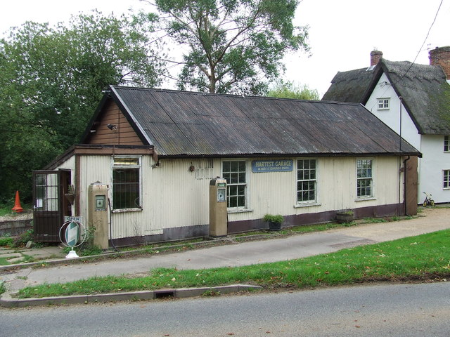
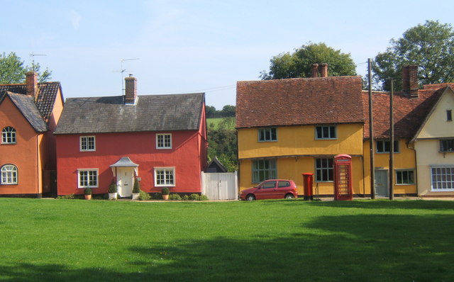
The village itself is small, with a population of around 800 residents. It boasts a strong sense of community, with a range of amenities and facilities that cater to the needs of its inhabitants. These include a primary school, village hall, church, and a local pub, which serves as a popular gathering spot for locals and visitors alike.

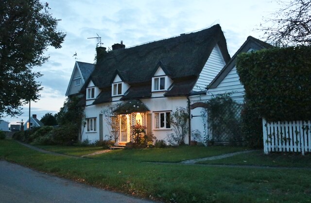
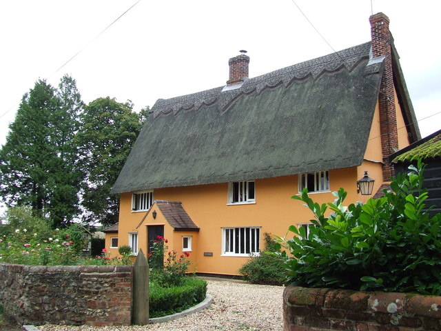
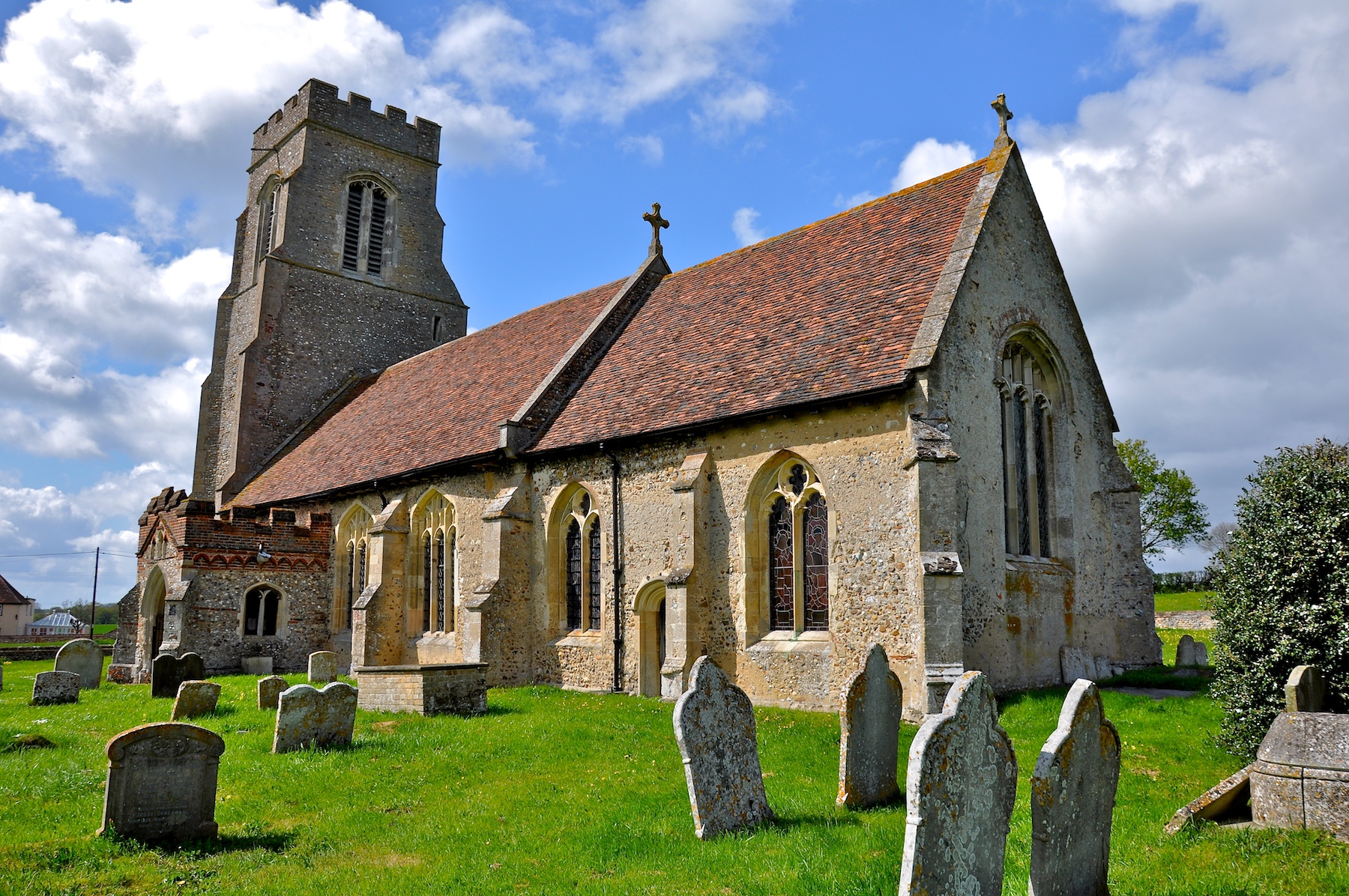
Boxted is rich in history, with evidence of its existence dating back to Roman times. The village is home to several historic buildings, such as St. Peter's Church, which dates back to the 13th century and features unique architectural elements. In addition, there are several traditional thatched cottages scattered throughout the village, adding to its charm and character.

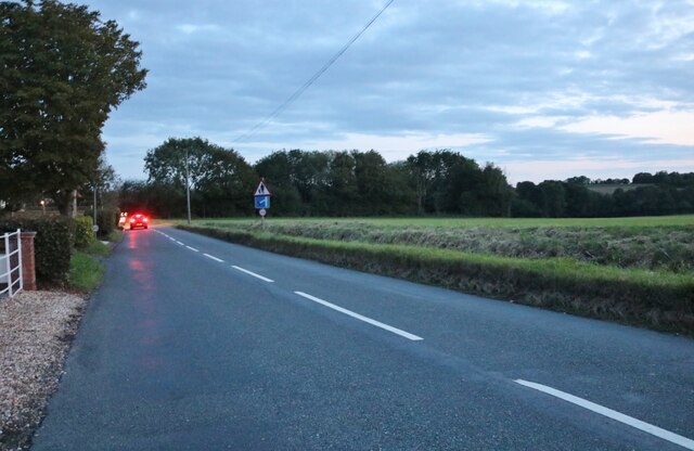
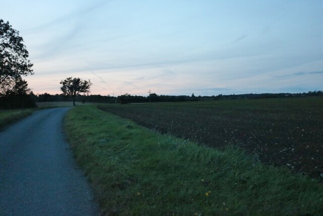
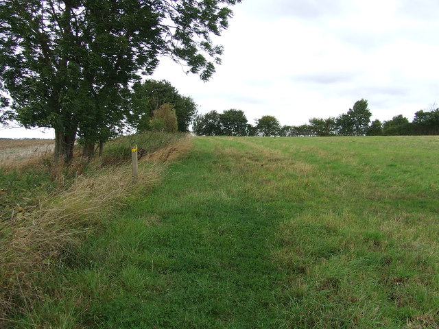
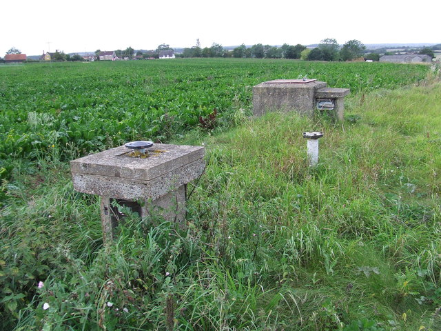
Surrounded by beautiful countryside, Boxted offers ample opportunities for outdoor activities and exploration. The area is crisscrossed with footpaths and bridleways, making it an ideal destination for walkers, hikers, and horse riders. The nearby Dedham Vale Area of Outstanding Natural Beauty offers stunning landscapes and is a popular attraction for nature enthusiasts.

Overall, Boxted is a delightful village that offers a peaceful and welcoming environment. With its rich history, scenic surroundings, and strong community spirit, it is a place that attracts both residents and visitors seeking a rural escape in the heart of Suffolk.

If you have any feedback on the listing, please let us know in the comments section below.
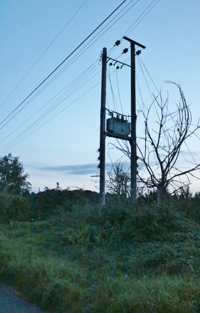
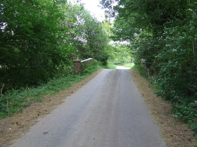
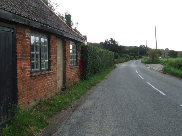
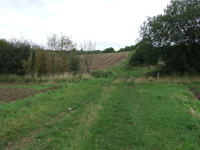
Boxted Images

Images are sourced within 2km of 52.129159/0.668011 or Grid Reference TL8251. Thanks to Geograph Open Source API. All images are credited.

Cottage on Workhouse Hill, Hartest
Brockley Road, Cross Green
Loading area by Somerton Road, Mile End Mainly used for hay.
Loading area by Somerton Road, Mile End
Mainly used for hay.
Somerton Road, Mile End
Field and tree by Somerton Road, Mile End
Electricity poles by Somerton Hall
Somerton Hall near Somerton A big white-brick early C19th front to the road, but there is a timber-framed house somewhere behind. Grade II listed.
Somerton Hall near Somerton
A big white-brick early C19th front to the road, but there is a timber-framed house somewhere behind. Grade II listed.
Part of Cooks Farm
Part of Cooks Farm
Small Bridge Small bridge on country road over unnamed stream at Boxted, Suffolk.
Small Bridge
Small bridge on country road over unnamed stream at Boxted, Suffolk.
Village Postbox Village postbox mounted in a small buildings wall at Boxted, Suffolk.
Village Postbox
Village postbox mounted in a small buildings wall at Boxted, Suffolk.
Footpath Junction Footpath junction near to Boxted, Suffolk.
Footpath Junction
Footpath junction near to Boxted, Suffolk.
Footpath Sign Post Footpath sign post near to Hartest, Suffolk.
Footpath Sign Post
Footpath sign post near to Hartest, Suffolk.
Old AA Sign Old AA road sign near to Hartest
Old AA Sign
Old AA road sign near to Hartest
Footpath To Chadacre Park Footpath looking east between Hartest Hill and Chadacre Park near to Hartest, Suffolk
Footpath To Chadacre Park
Footpath looking east between Hartest Hill and Chadacre Park near to Hartest, Suffolk
Nuclear Monitoring Post Surface parts of a now unused Royal Observer Corps nuclear monitoring post near to Hartest, Suffolk see <span class="nowrap"><a title="http://www.subbrit.org.uk/rsg/roc/db/988807445.019002.html" rel="nofollow ugc noopener" href="http://www.subbrit.org.uk/rsg/roc/db/988807445.019002.html">Link</a><img style="margin-left:2px;" alt="External link" title="External link - shift click to open in new window" src="https://s1.geograph.org.uk/img/external.png" width="10" height="10"/></span> and <span class="nowrap"><a title="http://en.wikipedia.org/wiki/Royal_Observer_Corps_Monitoring_Post" rel="nofollow ugc noopener" href="http://en.wikipedia.org/wiki/Royal_Observer_Corps_Monitoring_Post">Link</a><img style="margin-left:2px;" alt="External link" title="External link - shift click to open in new window" src="https://s1.geograph.org.uk/img/external.png" width="10" height="10"/></span> for more info.
Nuclear Monitoring Post
Surface parts of a now unused Royal Observer Corps nuclear monitoring post near to Hartest, Suffolk see LinkExternal link and LinkExternal link for more info.
Barns Barns at Lord's Farm near to Hartest, Suffolk.
Barns
Barns at Lord's Farm near to Hartest, Suffolk.
The Hatch Cottage called The Hatch Cross Green, Suffolk.
The Hatch
Cottage called The Hatch Cross Green, Suffolk.
Hartest Garage Hartest garage Hartest, Suffolk.
Hartest Garage
Hartest garage Hartest, Suffolk.
Show me another place!

Boxted is located at Grid Ref: TL8251 (Lat: 52.129159, Lng: 0.668011)

Administrative County: Suffolk

District: Babergh

Police Authority: Suffolk

What 3 Words

///spends.briskly.gravitate. Near Glemsford, Suffolk

Related Wikis

Boxted, Suffolk

Boxted is a village and civil parish in the Babergh district of Suffolk, England. Located around 8 miles (13 km) north of Sudbury, in 2005 it had a population...

Hartest

Hartest is a small village and civil parish in the Babergh district of the English county of Suffolk. It is located halfway between Bury St. Edmunds and...

Somerton, Suffolk

Somerton is a civil parish in the Babergh district of Suffolk in eastern England. Somerton is split into two smaller villages: Upper Somerton with a population...

Audley End, Suffolk

Audley End is a hamlet in the civil parish of Lawshall in the Babergh district in the county of Suffolk, England. It is located between Lambs Lane and...

Kentwell Woods

Kentwell Woods is a 77.6-hectare (192-acre) biological Site of Special Scientific Interest in fifteen woods in fourteen separate blocks east and north...

Glemsford

Glemsford is a village in the Babergh district in Suffolk, England, near the town of Sudbury. Glemsford is located near the River Glem and the River Stour...

Hawkedon

Hawkedon is a village and civil parish in the West Suffolk district of Suffolk in eastern England. Located around 7 miles (11 km) south-south-west of Bury...

Brockley, Suffolk

Brockley (not to be confused with Brockley Green, 8 miles (13 km) southwest in Hundon parish) is a village and civil parish in the West Suffolk district...

Nearby Amenities

Located within 500m of 52.129159,0.668011
Boxted
Place: village
Source: NPE
Wikidata: Q2032779
Lat/Long: 52.1289065/0.6682676
Bus Stop
Blacksmiths Corner
Naptan AtcoCode: 390010186
Naptan Bearing: N
Naptan BusStopType: CUS
Naptan CommonName: Blacksmiths Corner
Naptan Indicator: adj
Naptan Landmark: Blacksmiths Corner
Naptan NaptanCode: sufadmtj
Naptan Street: Boxted Hill
Naptan Verified: no
Source: naptan_import
Lat/Long: 52.1319859/0.6659466
Bus Stop
Blacksmiths Corner
Naptan AtcoCode: 390010187
Naptan Bearing: SW
Naptan BusStopType: CUS
Naptan CommonName: Blacksmiths Corner
Naptan Indicator: opp
Naptan Landmark: Blacksmiths Corner
Naptan NaptanCode: sufadmtm
Naptan Street: Boxted Hill
Naptan Verified: no
Source: naptan_import
Lat/Long: 52.1319168/0.6662202
Bus Stop
Phone Box
Naptan AtcoCode: 390010756
Naptan Bearing: SE
Naptan BusStopType: CUS
Naptan CommonName: Phone Box
Naptan Indicator: o/s
Naptan Landmark: Phone Box
Naptan NaptanCode: sufjdpdm
Naptan Street: The Street
Naptan Verified: no
Source: naptan_import
Lat/Long: 52.1300769/0.6672501
Bus Stop
Phone Box
Naptan AtcoCode: 390010757
Naptan Bearing: NW
Naptan BusStopType: CUS
Naptan CommonName: Phone Box
Naptan Indicator: opp
Naptan Landmark: Phone Box
Naptan NaptanCode: sufjdpdp
Naptan Street: The Street
Naptan Verified: no
Source: naptan_import
Lat/Long: 52.1300308/0.6670592
Power: pole
Lat/Long: 52.1306701/0.6662768
Power: pole
Lat/Long: 52.131183/0.6675374
Power: pole
Lat/Long: 52.1318276/0.6690006
Power: pole
Lat/Long: 52.1283605/0.6610359
Power: pole
Lat/Long: 52.1300046/0.6647905
Power: pole
Lat/Long: 52.1322186/0.670162
Power: pole
Lat/Long: 52.1313847/0.6681946
Power: pole
Lat/Long: 52.1309665/0.667237
Power: pole
Lat/Long: 52.1305615/0.6662714
Power: pole
Lat/Long: 52.132948/0.6668977
Power: pole
Lat/Long: 52.1322137/0.6666885
Power: pole
Lat/Long: 52.1314794/0.6664149
Power: pole
Lat/Long: 52.1307047/0.6661628
Power: pole
Lat/Long: 52.1303729/0.6656626
Power: pole
Lat/Long: 52.1306948/0.6619853
Power: pole
Lat/Long: 52.1306339/0.6639151
Power: pole
Lat/Long: 52.1305862/0.6658584
Power: pole
Lat/Long: 52.1306166/0.6611377
Power: pole
Lat/Long: 52.1305384/0.6635195
Power: pole
Lat/Long: 52.1304923/0.6654695
The data included in this document is from www.openstreetmap.org. The data is made available under ODbL.

Have you been to Boxted?

Leave your review of Boxted below (or comments, questions and feedback).