Summerpit Clump
Wood, Forest in Suffolk West Suffolk
England
Summerpit Clump
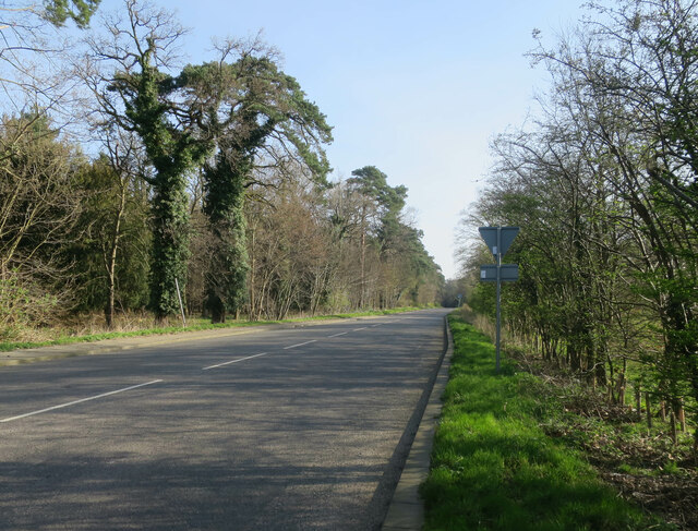
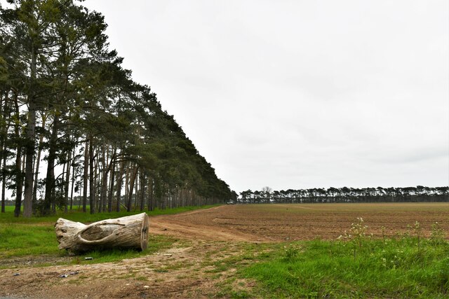
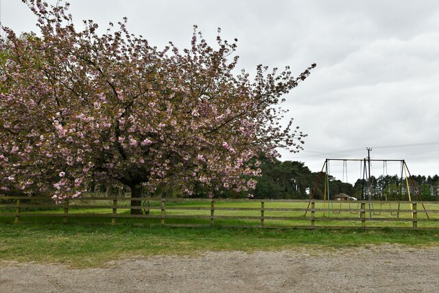
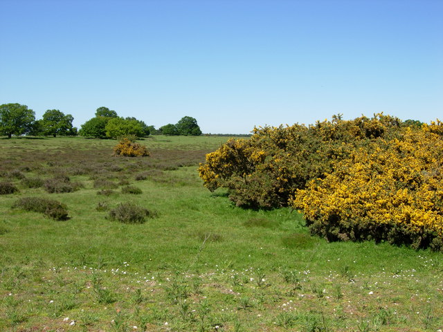
Summerpit Clump is a picturesque wood located in Suffolk, England. Situated within a larger forest, it is a popular destination for nature lovers and outdoor enthusiasts. The clump covers an area of approximately 20 acres and is home to a diverse range of flora and fauna.
The woodland is predominantly made up of deciduous trees such as oak, beech, and birch, which provide a lush and vibrant canopy during the summer months. The forest floor is adorned with a carpet of bluebells and wildflowers, creating a stunning display of color and fragrance.
The clump is crisscrossed by a network of footpaths and trails, making it easily accessible for walkers, hikers, and joggers. These paths wind through the woods, offering glimpses of the surrounding countryside and providing a tranquil setting for leisurely strolls. The area is also popular with birdwatchers, as it attracts a variety of bird species, including woodpeckers, owls, and songbirds.
Summerpit Clump is not only a haven for wildlife but also offers recreational facilities for visitors. There are picnic areas and benches scattered throughout the wood, providing perfect spots for families and groups to relax and enjoy a meal surrounded by nature. Additionally, the clump has designated camping areas for those wishing to spend a night under the stars.
Overall, Summerpit Clump is a beautiful and diverse woodland that offers a range of activities and experiences for nature enthusiasts. Whether it's a peaceful walk, birdwatching, or a family picnic, this wood in Suffolk provides a serene escape from the hustle and bustle of everyday life.
If you have any feedback on the listing, please let us know in the comments section below.
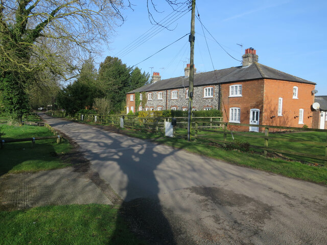
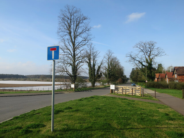
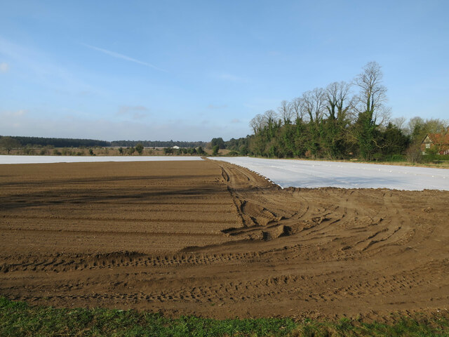
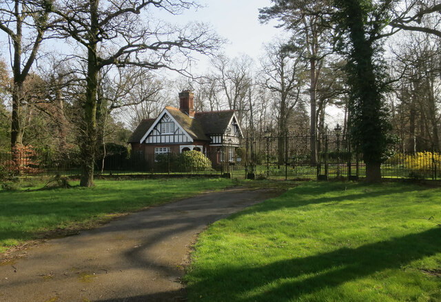
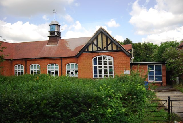
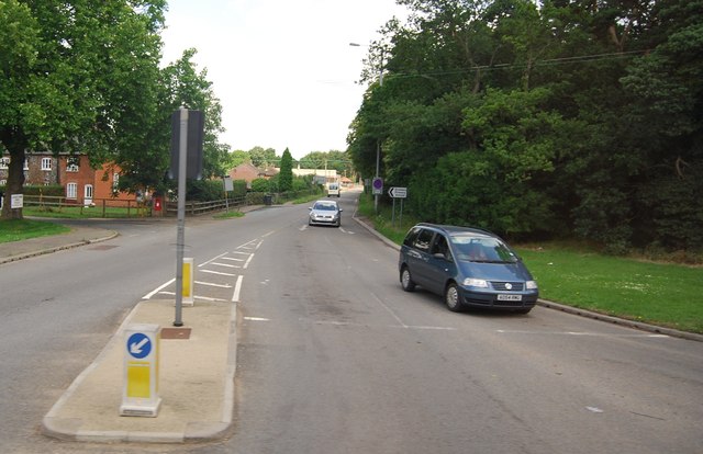
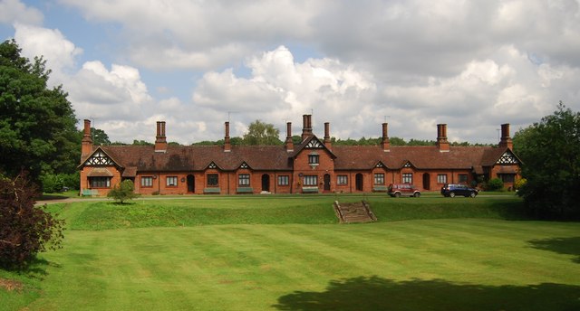
Summerpit Clump Images
Images are sourced within 2km of 52.372325/0.67296744 or Grid Reference TL8278. Thanks to Geograph Open Source API. All images are credited.


Summerpit Clump is located at Grid Ref: TL8278 (Lat: 52.372325, Lng: 0.67296744)
Administrative County: Suffolk
District: West Suffolk
Police Authority: Suffolk
What 3 Words
///forgives.film.cucumber. Near Thetford, Norfolk
Related Wikis

Elveden Hall
Elveden Hall is a large stately home on the Elveden Estate in Elveden, Suffolk, England. The seat of the Earls of Iveagh, it is a Grade II* listed building...

Elveden
Elveden is a village and civil parish in the West Suffolk district of Suffolk in eastern England. In 2005 it had a population of 270. The village is bypassed...

Berner's Heath
Berner's Heath is a 236.9-hectare (585-acre) biological Site of Special Scientific Interest north-east of Icklingham in Suffolk. It is a Nature Conservation...

Little Heath, Barnham
Little Heath, Barnham lies south-west of Barnham, Suffolk. Much of the area is now a Site of Special Scientific Interest, which almost surrounds the former...

Breckland Forest
Breckland Forest is an 18,126 hectare biological and geological Site of Special Scientific Interest in many separate areas between Swaffham in Norfolk...

Weather and Horn Heaths, Eriswell
Weather and Horn Heaths, Eriswell is a 133.3-hectare (329-acre) biological Site of Special Scientific Interest east of Eriswell in Suffolk. It is a Nature...
Thetford Heaths
Thetford Heaths is a 270.6-hectare (669-acre) biological and geological Site of Special Scientific Interest in Suffolk. It is a Nature Conservation Review...

Barnham railway station (Suffolk)
Barnham railway station is a former station in Barnham, Suffolk on a now closed line between Thetford and Bury St Edmunds. It was located close to the...
Nearby Amenities
Located within 500m of 52.372325,0.67296744Have you been to Summerpit Clump?
Leave your review of Summerpit Clump below (or comments, questions and feedback).