Clump Grove
Wood, Forest in Suffolk West Suffolk
England
Clump Grove
Clump Grove is a picturesque woodland located in the county of Suffolk, England. Situated in the heart of the countryside, it is renowned for its natural beauty and tranquil atmosphere. Spanning over an area of approximately 500 acres, Clump Grove is a haven for nature enthusiasts and offers a wide array of flora and fauna.
The woodland is predominantly made up of native broadleaf trees such as oak, beech, and ash. The towering trees provide a dense canopy, creating a shaded and cool environment, especially during the hot summer months. The forest floor is covered in a thick layer of moss, ferns, and wildflowers, adding to the enchanting ambiance of the grove.
Clump Grove is home to a diverse range of wildlife. Visitors may spot deer gracefully leaping through the undergrowth or hear the melodic songs of various bird species. The woodland also provides a habitat for smaller creatures like squirrels, rabbits, and foxes.
Several well-marked walking trails meander through the forest, allowing visitors to explore the grove at their own pace. These trails lead to hidden clearings, where visitors can rest and appreciate the serenity of the surroundings.
In addition to its natural beauty, Clump Grove holds historical significance. It is believed that the woodland has been in existence for centuries, with evidence of human activity dating back hundreds of years. The grove was once used for timber harvesting and has remnants of old logging tracks, adding an element of history to the area.
Overall, Clump Grove in Suffolk is a captivating destination for nature lovers, offering a peaceful retreat in the heart of the English countryside.
If you have any feedback on the listing, please let us know in the comments section below.
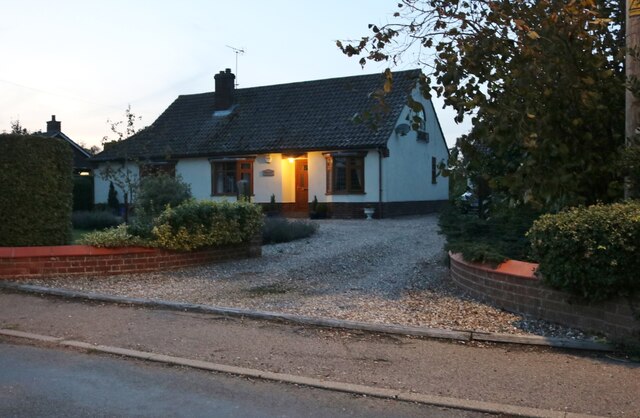
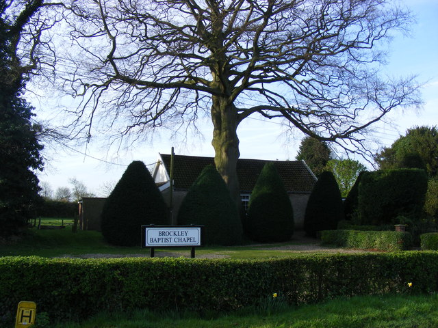
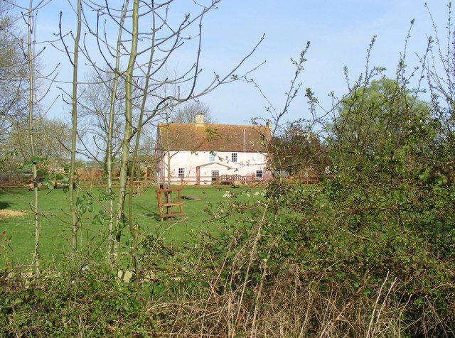
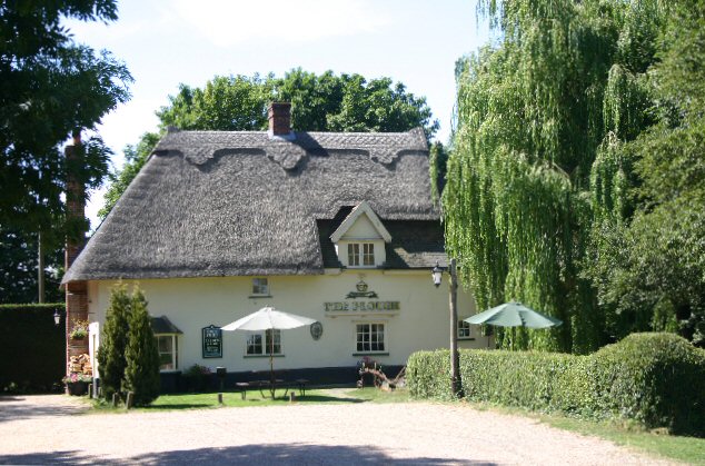
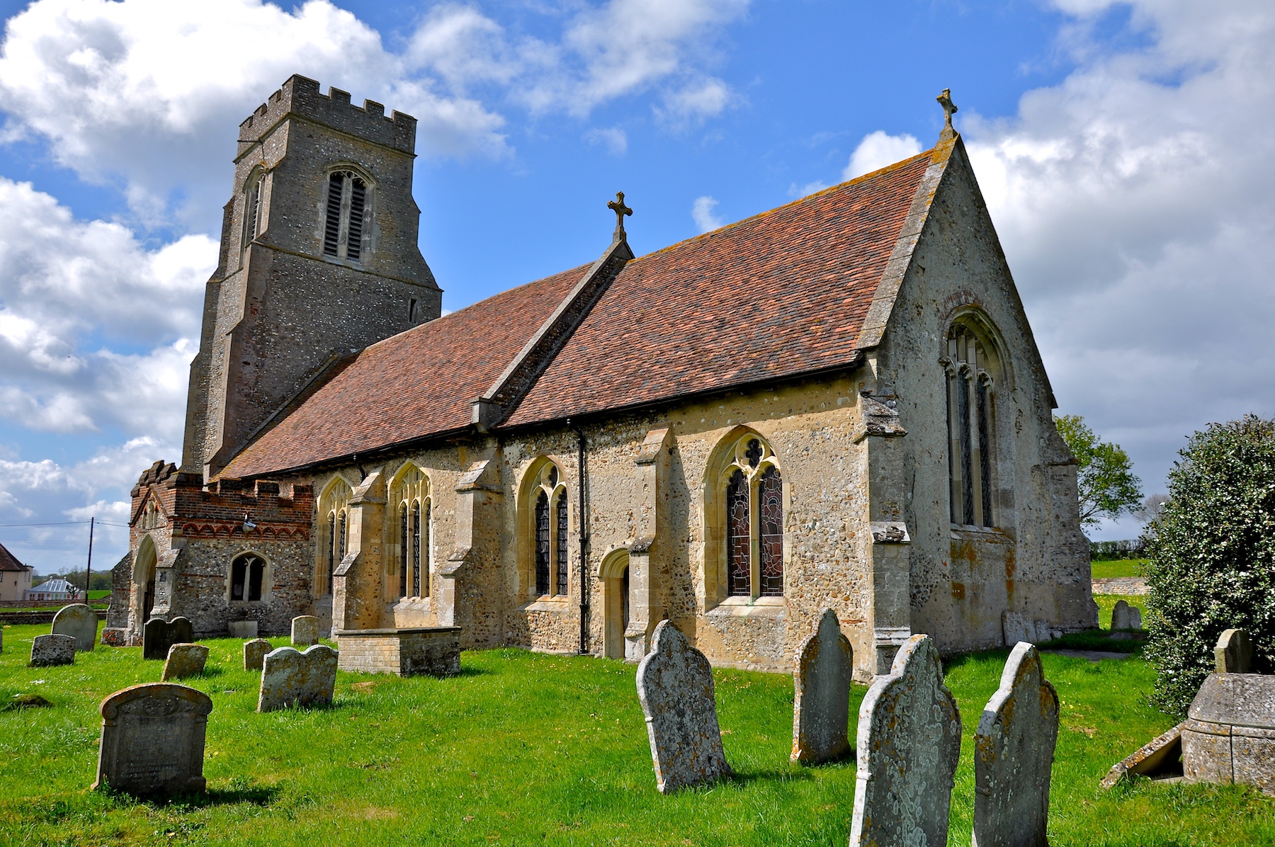
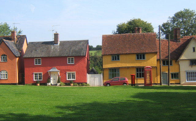
Clump Grove Images
Images are sourced within 2km of 52.16525/0.6574055 or Grid Reference TL8155. Thanks to Geograph Open Source API. All images are credited.


Clump Grove is located at Grid Ref: TL8155 (Lat: 52.16525, Lng: 0.6574055)
Administrative County: Suffolk
District: West Suffolk
Police Authority: Suffolk
What 3 Words
///winters.scrapped.fish. Near Glemsford, Suffolk
Nearby Locations
Related Wikis

Brockley, Suffolk
Brockley (not to be confused with Brockley Green, 8 miles (13 km) southwest in Hundon parish) is a village and civil parish in the West Suffolk district...
Rede, Suffolk
Rede is a village and civil parish in the West Suffolk district of Suffolk in eastern England. Its location is situated South East of Chedburgh. In 1887...

Somerton, Suffolk
Somerton is a civil parish in the Babergh district of Suffolk in eastern England. Somerton is split into two smaller villages: Upper Somerton with a population...

Hay Wood, Whepstead
Hay Wood, Whepstead is a 10.4-hectare (26-acre) biological Site of Special Scientific Interest west of Whepstead in Suffolk.This ancient wood on poorly...

RAF Chedburgh
Royal Air Force Chedburgh or more simply RAF Chedburgh is a former Royal Air Force satellite station located near Bury St Edmunds, Suffolk, UK. The Bury...
Hawkedon
Hawkedon is a village and civil parish in the West Suffolk district of Suffolk in eastern England. Located around 7 miles (11 km) south-south-west of Bury...

Newmarket Ridge
The Newmarket Ridge or East Anglian Ridge is a ridge starting north-west of Hertford, Hertfordshire near the Chiltern Hills and ending near Sudbury, Suffolk...
Hartest
Hartest is a small village and civil parish in the Babergh district of the English county of Suffolk. It is located halfway between Bury St. Edmunds and...
Have you been to Clump Grove?
Leave your review of Clump Grove below (or comments, questions and feedback).