Long Grove
Wood, Forest in Suffolk West Suffolk
England
Long Grove
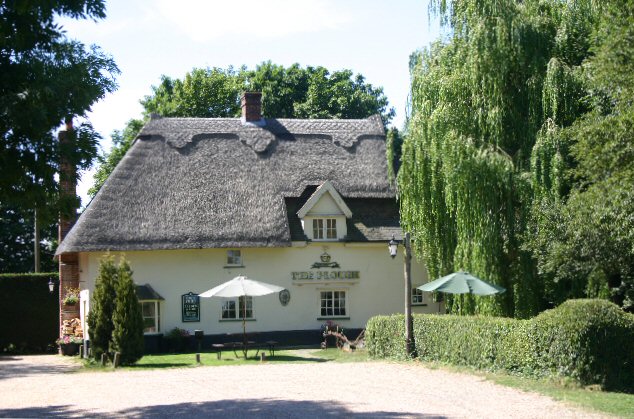
Long Grove is a charming village located in the county of Suffolk, England. Situated within an idyllic wooded area, it is often referred to as Long Grove, Suffolk Wood or Long Grove Forest. The village is known for its picturesque landscapes and serene atmosphere, making it a popular destination for nature lovers and those seeking tranquility.
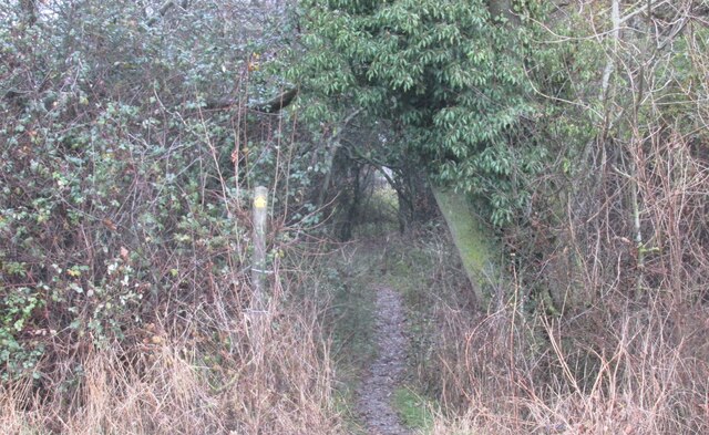
Long Grove is characterized by its dense woodland, which stretches for miles around the village. The forest is home to a variety of tree species, including oak, beech, and pine, creating a diverse and vibrant ecosystem. The rich flora and fauna make it an ideal place for hiking, birdwatching, and other outdoor activities.
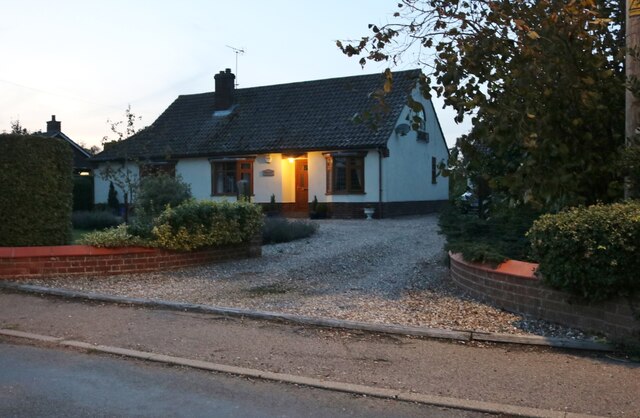
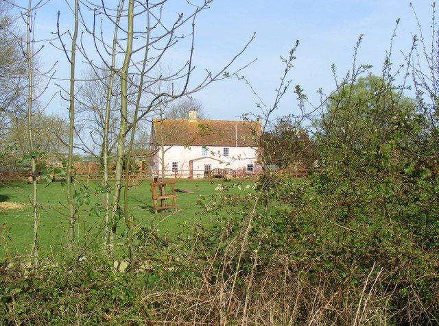
The village itself is small but welcoming, with a tight-knit community that takes pride in its natural surroundings. The local residents are friendly and often organize events and gatherings that celebrate the beauty of the forest. Long Grove is also home to a few quaint cottages and houses, adding to its charm.
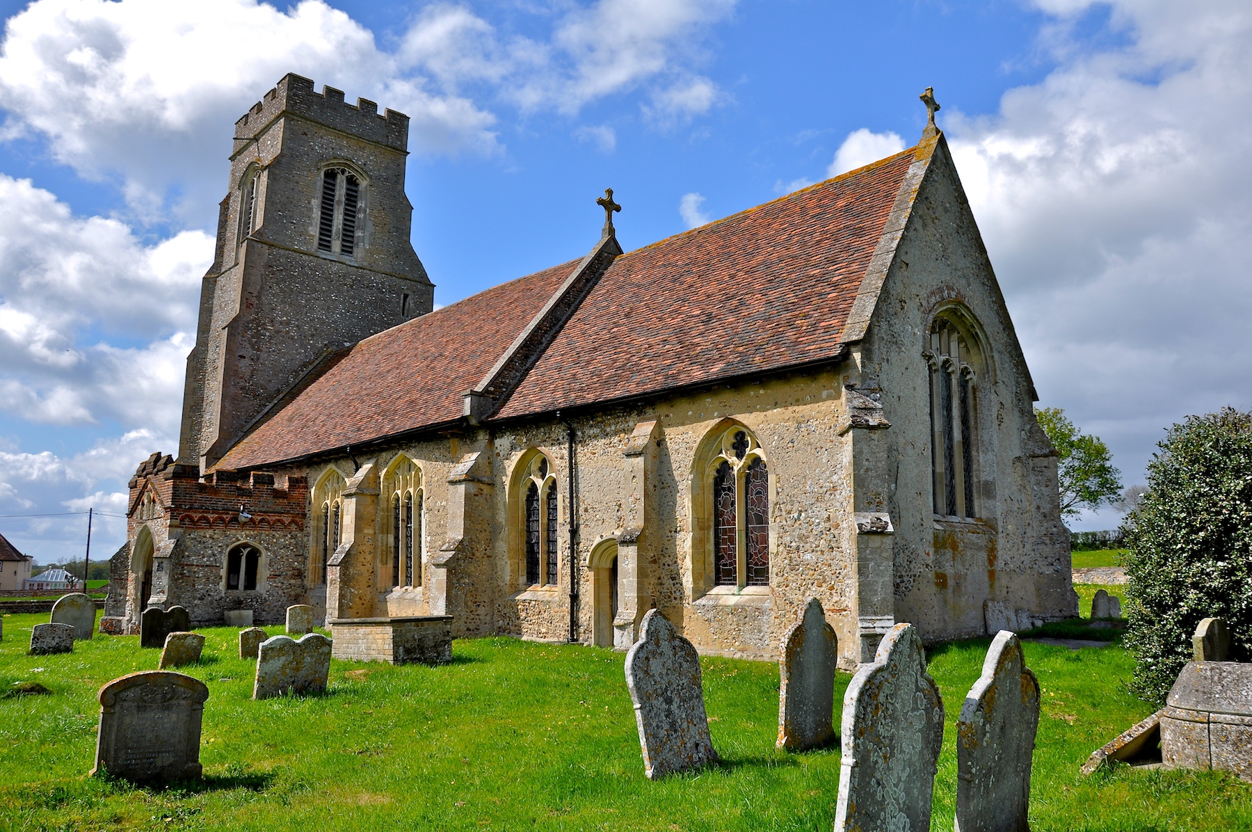
Visitors to Long Grove can explore the numerous walking trails that wind through the forest, offering breathtaking views of the surrounding landscape. The village is also close to several other attractions, such as historical sites and country parks, making it a convenient base for exploring the wider Suffolk area.
In conclusion, Long Grove, Suffolk is a delightful village nestled within a serene forest. With its remarkable natural beauty and warm community spirit, it is a haven for those seeking an escape from the hustle and bustle of everyday life.
If you have any feedback on the listing, please let us know in the comments section below.
Long Grove Images
Images are sourced within 2km of 52.164947/0.65210823 or Grid Reference TL8155. Thanks to Geograph Open Source API. All images are credited.


Long Grove is located at Grid Ref: TL8155 (Lat: 52.164947, Lng: 0.65210823)
Administrative County: Suffolk
District: West Suffolk
Police Authority: Suffolk
What 3 Words
///ballparks.likewise.olive. Near Glemsford, Suffolk
Nearby Locations
Related Wikis
Rede, Suffolk
Rede is a village and civil parish in the West Suffolk district of Suffolk in eastern England. Its location is situated South East of Chedburgh. In 1887...

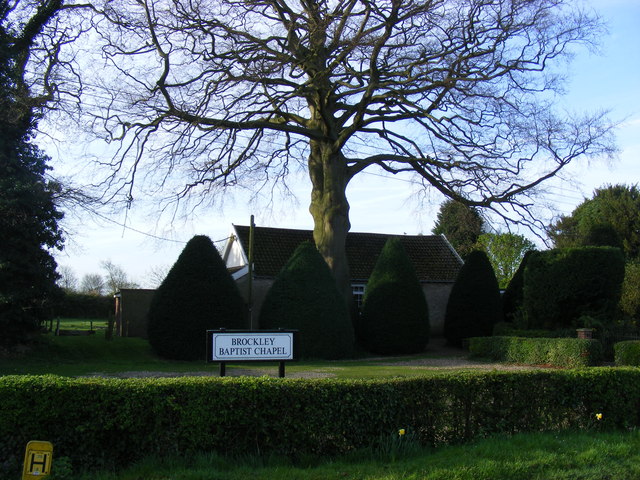
Brockley, Suffolk
Brockley (not to be confused with Brockley Green, 8 miles (13 km) southwest in Hundon parish) is a village and civil parish in the West Suffolk district...

Somerton, Suffolk
Somerton is a civil parish in the Babergh district of Suffolk in eastern England. Somerton is split into two smaller villages: Upper Somerton with a population...

Hay Wood, Whepstead
Hay Wood, Whepstead is a 10.4-hectare (26-acre) biological Site of Special Scientific Interest west of Whepstead in Suffolk.This ancient wood on poorly...

RAF Chedburgh
Royal Air Force Chedburgh or more simply RAF Chedburgh is a former Royal Air Force satellite station located near Bury St Edmunds, Suffolk, UK. The Bury...

Newmarket Ridge
The Newmarket Ridge or East Anglian Ridge is a ridge starting north-west of Hertford, Hertfordshire near the Chiltern Hills and ending near Sudbury, Suffolk...
Hawkedon
Hawkedon is a village and civil parish in the West Suffolk district of Suffolk in eastern England. Located around 7 miles (11 km) south-south-west of Bury...

Great Wood Hill
At 128 metres (420 ft), Great Wood Hill, near Chedburgh, is the highest point in the English county of Suffolk. It is the highest part of the Newmarket...
Have you been to Long Grove?
Leave your review of Long Grove below (or comments, questions and feedback).