Gravel Pit Plantation
Wood, Forest in Norfolk King's Lynn and West Norfolk
England
Gravel Pit Plantation
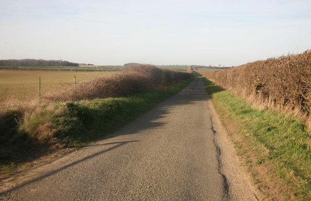
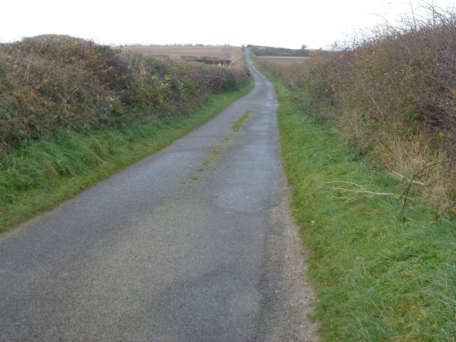
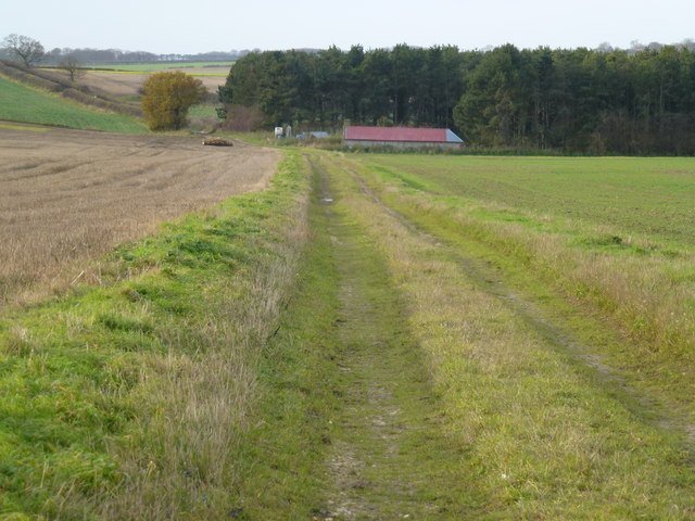
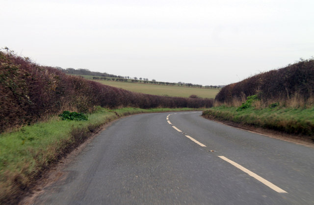
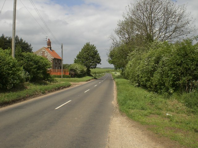
Gravel Pit Plantation is a picturesque woodland located in Norfolk, England. Spanning over a vast area of land, this plantation is known for its dense and diverse collection of trees, making it a haven for nature enthusiasts and wildlife alike.
The plantation primarily consists of deciduous trees such as oak, beech, and birch. These towering giants provide a breathtaking canopy that filters sunlight through the leaves, creating a dappled effect on the forest floor. In addition to the deciduous trees, there are also a number of conifers, including pine and spruce, adding to the overall beauty and variety of the woodland.
Gravel Pit Plantation is home to an impressive array of wildlife. The woodland provides a habitat for a wide range of bird species, such as woodpeckers, owls, and various songbirds. The undergrowth is teeming with small mammals like rabbits, squirrels, and hedgehogs, while the surrounding fields attract larger animals like deer and foxes.
The plantation offers several walking trails that wind their way through the woodland, allowing visitors to immerse themselves in its natural beauty. These trails are well-maintained and provide an opportunity to explore the various habitats within the plantation, from the sunlit clearings to the shaded groves.
Gravel Pit Plantation is not only a haven for wildlife but also a place of tranquility and natural beauty. Its well-preserved woodlands and diverse ecosystem make it a must-visit destination for nature lovers and those seeking respite from the hustle and bustle of everyday life.
If you have any feedback on the listing, please let us know in the comments section below.
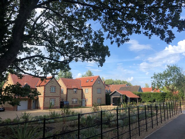
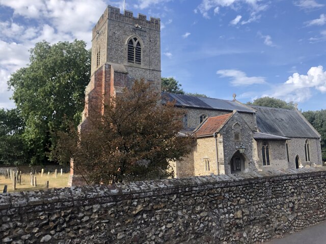
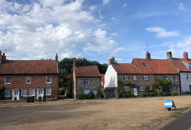
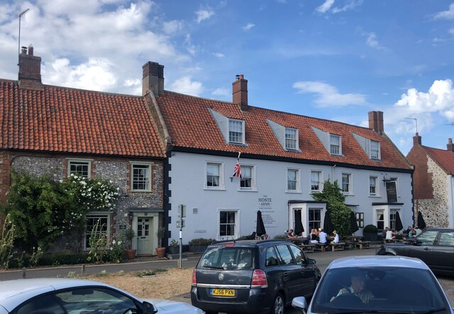
Gravel Pit Plantation Images
Images are sourced within 2km of 52.933803/0.70193058 or Grid Reference TF8140. Thanks to Geograph Open Source API. All images are credited.


Gravel Pit Plantation is located at Grid Ref: TF8140 (Lat: 52.933803, Lng: 0.70193058)
Administrative County: Norfolk
District: King's Lynn and West Norfolk
Police Authority: Norfolk
What 3 Words
///assembles.rattler.pursuing. Near Wells-next-the-Sea, Norfolk
Nearby Locations
Related Wikis

Burnham Westgate Hall
Burnham Westgate Hall is a Georgian country house near Burnham Market, Norfolk, about 2 mi (3.2 km) south of the north Norfolk coast. It was remodelled...

Burnham Market railway station
Burnham Market was a railway station which served the village of Burnham Market in Norfolk, England. Opened by the West Norfolk Junction railway in 1866...

Burnham Market
Burnham Market is an English village and civil parish near the north coast of Norfolk. It is one of the Burnhams, a group of three adjacent villages that...

St Margaret's Church, Burnham Norton
St Margaret's Church is a round-tower church in Burnham Norton, Norfolk, England. Likely to have been built in the 11th century, the building retains many...

Stanhoe railway station
Stanhoe was a railway station which served the village of Stanhoe in Norfolk, England. Opened by the West Norfolk Junction Railway in 1866, it closed to...

Burnham Norton Friary
Burnham Norton Friary was a Carmelite (White Friars) friary near Burnham Market in Norfolk, England. It is now a ruin. The friary was founded by Sir William...

RAF Docking
Royal Air Force Docking or more simply RAF Docking is a former Royal Air Force satellite station a few miles from Bircham Newton in Norfolk, England....
Norfolk Burnhams
The Norfolk Burnhams are a group of adjacent villages on the north coast of Norfolk, England. The villages are located near a large natural bay named Brancaster...
Nearby Amenities
Located within 500m of 52.933803,0.70193058Have you been to Gravel Pit Plantation?
Leave your review of Gravel Pit Plantation below (or comments, questions and feedback).