Burnham Market

Civil Parish in Norfolk King's Lynn and West Norfolk

England

Burnham Market

Rural Lane looking towards Burnham Market
Rural Lane looking towards Burnham Market Credit: roger geach

Burnham Market is a charming village located in the county of Norfolk, England. Situated on the north coast, it is part of the larger civil parish of Burnham. The village is known for its picturesque setting, historic buildings, and vibrant community.

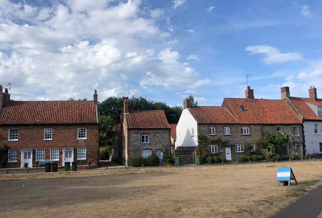
Dating back to the 17th century, Burnham Market's architecture is predominantly Georgian, with elegant houses lining the streets. These buildings house a variety of shops, boutiques, art galleries, and restaurants, making it a popular destination for locals and tourists alike. The village also has a traditional village green, where events and markets are held throughout the year.

Surrounded by beautiful countryside, Burnham Market offers ample opportunities for outdoor activities. The nearby coastline provides stunning sandy beaches, perfect for long walks, picnics, and water sports. The village is also located close to the Norfolk Coast Area of Outstanding Natural Beauty, which boasts breathtaking landscapes, wildlife, and nature reserves.

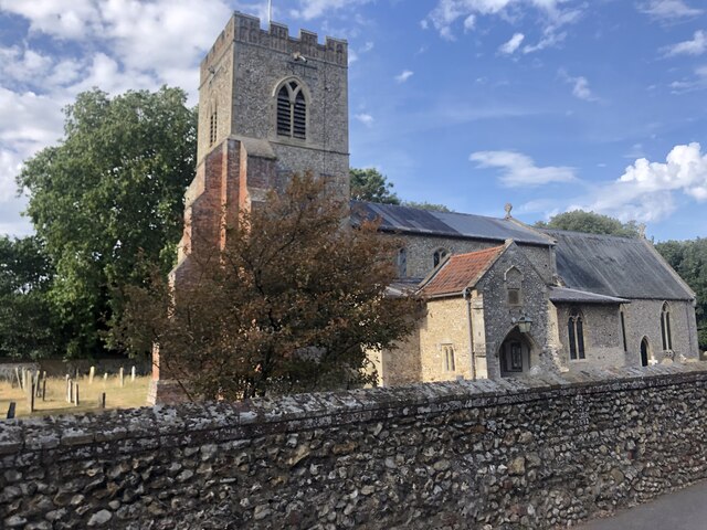
For history enthusiasts, Burnham Market has several notable landmarks. St. Mary the Virgin Church, dating back to the 14th century, is an impressive structure that showcases the village's rich heritage. Additionally, Holkham Hall, a grand Palladian-style mansion, is just a short drive away and offers guided tours of its opulent interiors and gardens.

Overall, Burnham Market is a quintessential English village that combines history, natural beauty, and a vibrant community. Its picturesque setting, charming architecture, and range of amenities make it a must-visit destination in Norfolk.

If you have any feedback on the listing, please let us know in the comments section below.

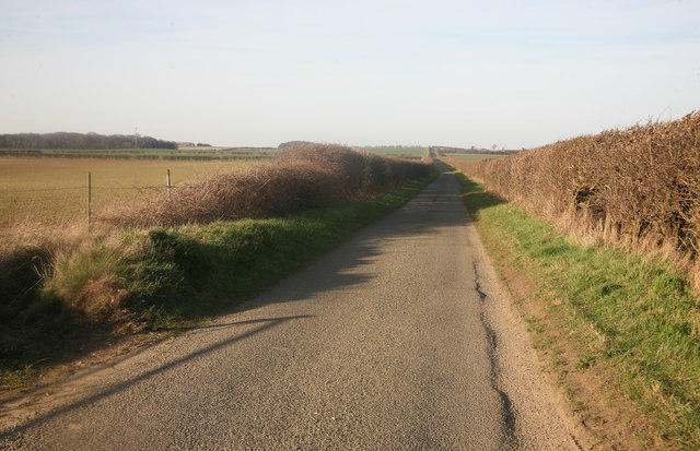
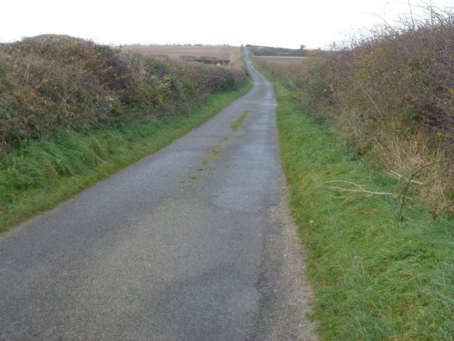
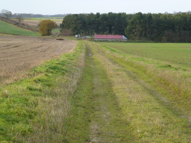
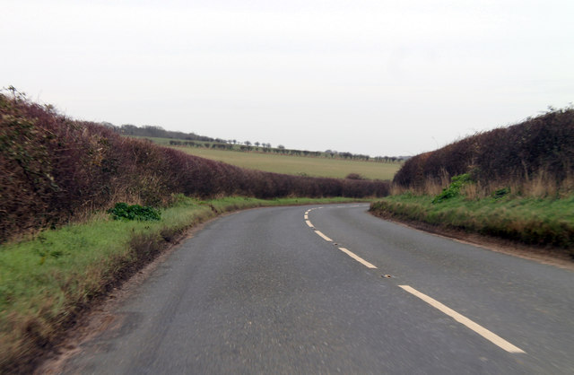
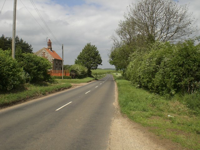
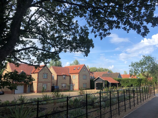
Burnham Market Images

Images are sourced within 2km of 52.933821/0.701994 or Grid Reference TF8140. Thanks to Geograph Open Source API. All images are credited.

Rural Lane looking towards Burnham Market
Private drive to Muckleton Farm A hamlet in Norfolk
Private drive to Muckleton Farm
A hamlet in Norfolk
Concrete track near Friar's Thorne Farm Between Docking and Burnham Market
Concrete track near Friar's Thorne Farm
Between Docking and Burnham Market
The road to Burnham Market Deepest Norfolk with the cottage ahead and Friar's Thorne Farm at my rear and no other dwelling in sight.
The road to Burnham Market
Deepest Norfolk with the cottage ahead and Friar's Thorne Farm at my rear and no other dwelling in sight.
Beacon Hill Road A narrow Norfolk lane leading to Burnham Market
Beacon Hill Road
A narrow Norfolk lane leading to Burnham Market
Green lane to Muckleton, Norfolk
B1155 north of Muckton Towards Burnham Market.
B1155 north of Muckton
Towards Burnham Market.
Back entrance to Muckleton Farm and caravan site Just east of B1155 Stanhoe to Burnham road.  Caravan sites are quite common at the farms around here.  Along with holiday cottage lets they are the most obvious signs of the farming community seeking alternative incomes.
Back entrance to Muckleton Farm and caravan site
Just east of B1155 Stanhoe to Burnham road. Caravan sites are quite common at the farms around here. Along with holiday cottage lets they are the most obvious signs of the farming community seeking alternative incomes.
Young barley shimmering near Muckleton Farm
Caravan site at Muckleton Farm
B1155 leaves Muckleton south down hill towards Burnham Market Muckleton is a hamlet of, perhaps, five or six houses and a farm.  It proudly displays its status with signs besides the road on the way in and way out.
B1155 leaves Muckleton south down hill towards Burnham Market
Muckleton is a hamlet of, perhaps, five or six houses and a farm. It proudly displays its status with signs besides the road on the way in and way out.
South west down Burnham road towards cottage near Friar's Thorne Farm
West towards Muckleton Track leading from Beacon Hill Road
West towards Muckleton
Track leading from Beacon Hill Road
Sugar beet pile Near Friar's Thorne Farm. Several thousand Pink-footed Geese were eating the sugar beet tops that had been left in the field.
Sugar beet pile
Near Friar's Thorne Farm. Several thousand Pink-footed Geese were eating the sugar beet tops that had been left in the field.
Copse in wheat crop field
New housing development at Burnham Market
St Mary's Church, Burnham Market Parish church of Burnham Westgate. Largely C14, with a heavy restoration
of 1872 accounting for most exterior details. Flint with stone dressings. Listed Grade 1
St Mary's Church, Burnham Market
Parish church of Burnham Westgate. Largely C14, with a heavy restoration of 1872 accounting for most exterior details. Flint with stone dressings. Listed Grade 1
Houses on The Green, Burnham Market
Show me another place!

Burnham Market is located at Grid Ref: TF8140 (Lat: 52.933821, Lng: 0.701994)

Administrative County: Norfolk

District: King's Lynn and West Norfolk

Police Authority: Norfolk

What 3 Words

///niece.drum.overruns. Near Wells-next-the-Sea, Norfolk

Related Wikis

Burnham Westgate Hall

Burnham Westgate Hall is a Georgian country house near Burnham Market, Norfolk, about 2 mi (3.2 km) south of the north Norfolk coast. It was remodelled...

Burnham Market railway station

Burnham Market was a railway station which served the village of Burnham Market in Norfolk, England. Opened by the West Norfolk Junction railway in 1866...

Burnham Market

Burnham Market is an English village and civil parish near the north coast of Norfolk. It is one of the Burnhams, a group of three adjacent villages that...

St Margaret's Church, Burnham Norton

St Margaret's Church is a round-tower church in Burnham Norton, Norfolk, England. Likely to have been built in the 11th century, the building retains many...

Nearby Amenities

Located within 500m of 52.933821,0.701994
Crow Hall Cottages
Place: isolated_dwelling
Lat/Long: 52.933037/0.6968747
Crow Hall
Place: isolated_dwelling
Lat/Long: 52.932656/0.6951434
Pagets Farm
Place: farm
Lat/Long: 52.9360963/0.7076973
The data included in this document is from www.openstreetmap.org. The data is made available under ODbL.

Have you been to Burnham Market?

Leave your review of Burnham Market below (or comments, questions and feedback).