Five Ways
Settlement in Warwickshire Warwick
England
Five Ways
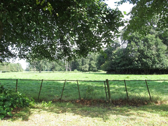
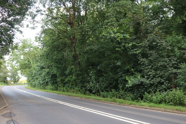
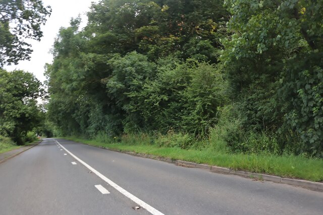
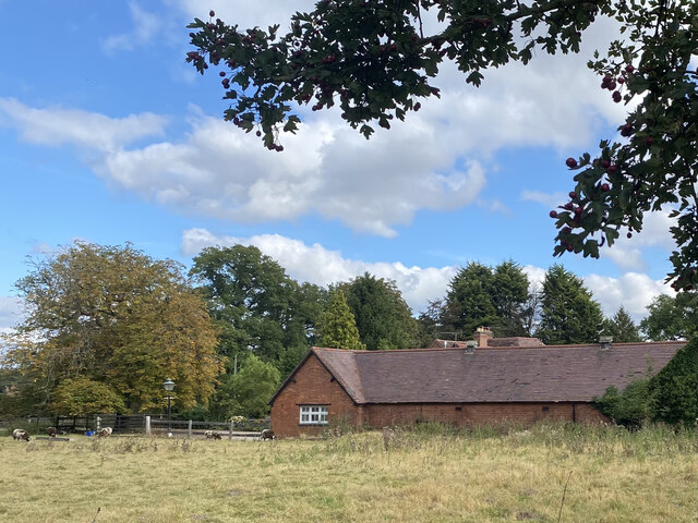
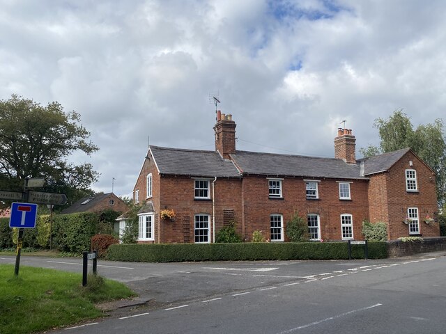
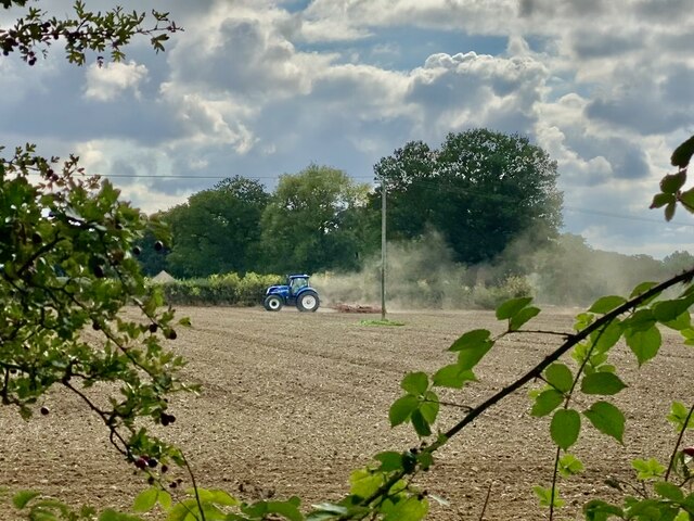
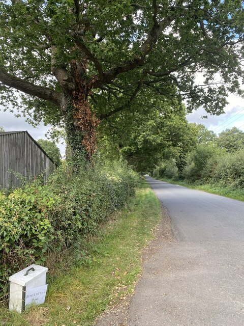
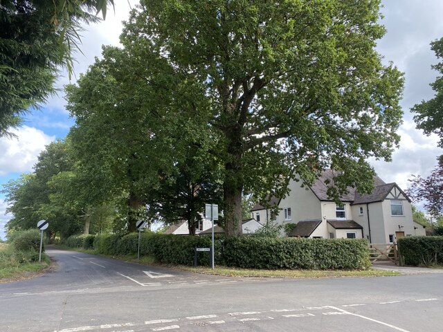
Five Ways is a small village located in the county of Warwickshire, England. Situated approximately 8 miles south-west of the town of Warwick, it lies in close proximity to the larger settlements of Leamington Spa and Coventry. The village is nestled amidst picturesque countryside, with rolling hills and charming rural landscapes characterizing the area.
The name "Five Ways" originates from the five roads that intersect within the village, creating a central junction. These roads connect Five Ways to neighboring villages and towns, providing convenient access for residents and visitors alike.
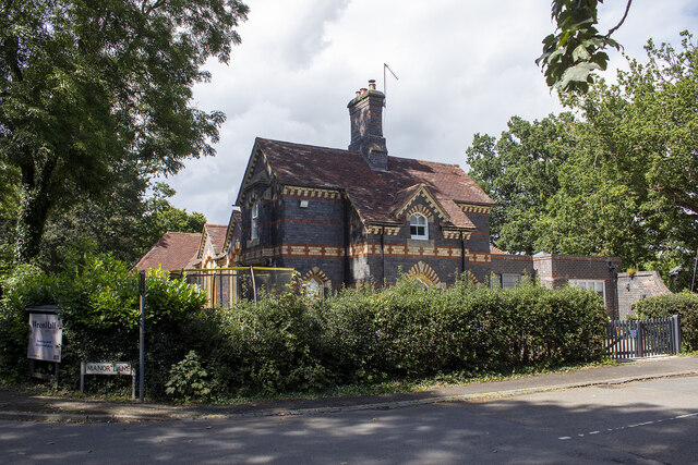
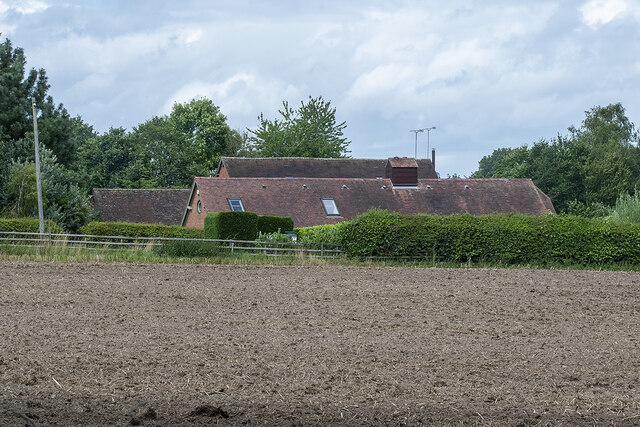
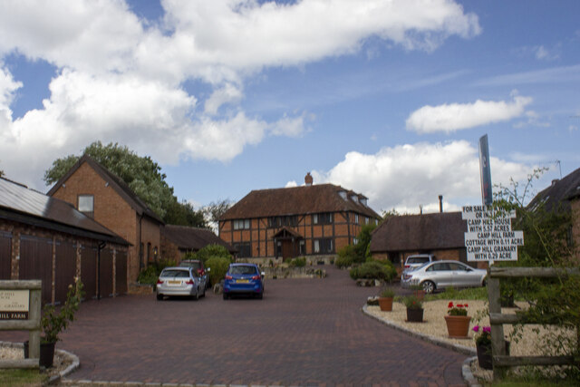
Despite its small size, Five Ways boasts a close-knit community, with a population of around 500 residents. The village primarily comprises traditional, well-maintained cottages and houses, giving it a quaint and timeless feel. The local community is known for its strong sense of pride and community spirit, with regular events and gatherings organized throughout the year.
Five Ways is surrounded by beautiful natural scenery, making it an ideal location for outdoor enthusiasts. The area offers numerous walking and cycling routes, allowing residents and visitors to explore the stunning Warwickshire countryside. Additionally, there are several parks and green spaces nearby, providing tranquil spots for relaxation and recreation.
While primarily a residential area, Five Ways benefits from its proximity to larger towns and cities. This allows residents to access a range of amenities, including schools, shops, and healthcare facilities, within a short distance.
Overall, Five Ways is a charming village, offering a peaceful and idyllic lifestyle in the heart of Warwickshire.
If you have any feedback on the listing, please let us know in the comments section below.
Five Ways Images
Images are sourced within 2km of 52.325705/-1.667621 or Grid Reference SP2269. Thanks to Geograph Open Source API. All images are credited.
Five Ways is located at Grid Ref: SP2269 (Lat: 52.325705, Lng: -1.667621)
Administrative County: Warwickshire
District: Warwick
Police Authority: Warwickshire
What 3 Words
///custard.folks.emulating. Near Wroxall, Warwickshire
Nearby Locations
Related Wikis

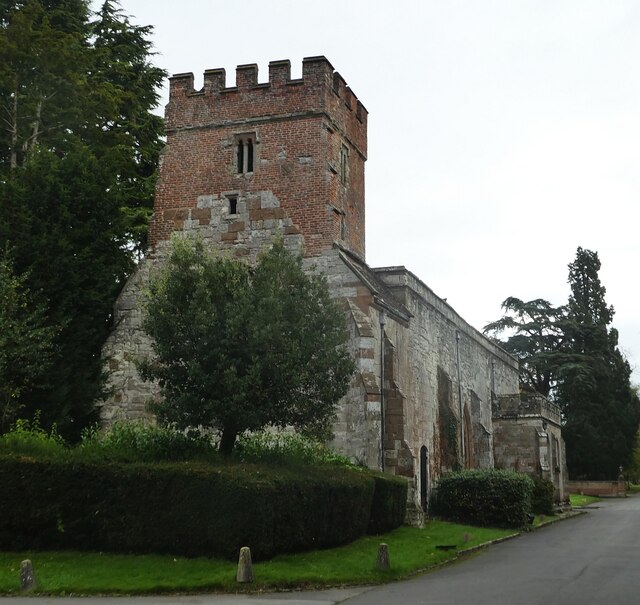
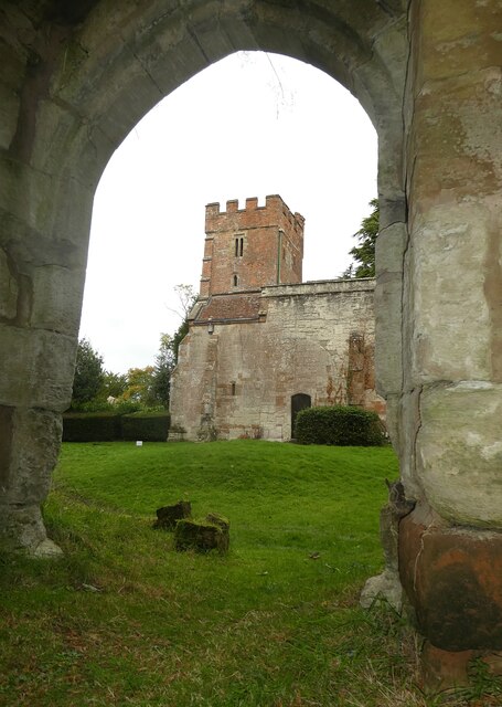
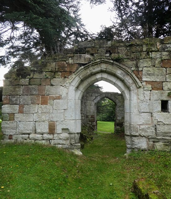
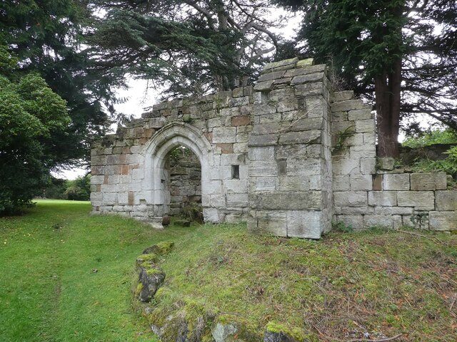
Wroxall Priory
Wroxall Priory was a medieval monastic house in Wroxall, Warwickshire, England. It was founded c.1135 by Hugh, Lord of Hatton and Wroxall in thanks for...
Wren's Cathedral
Wren's Cathedral, properly the Church of St Leonard and now a cathedral of the Communion of Evangelical Episcopal Churches, was originally the Lady Chapel...

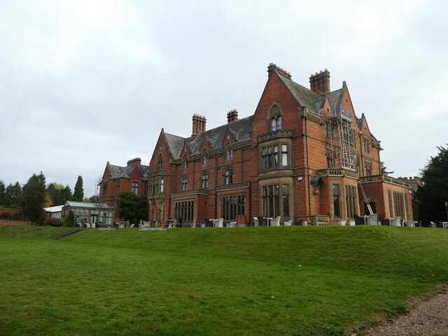
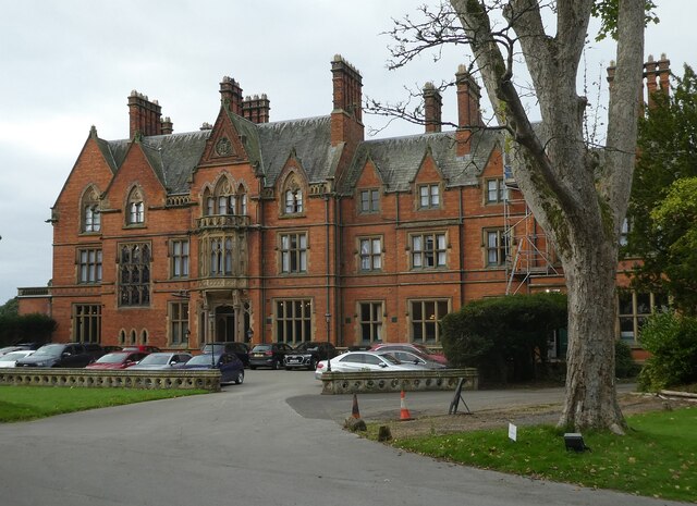
Wroxall Abbey
Wroxall Abbey is a substantial Victorian mansion house situated at Wroxall, Warwickshire which was converted for use as a hotel, spa, wedding venue and...

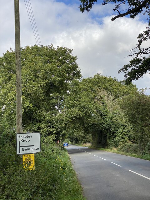
Beausale, Haseley, Honiley and Wroxall
Beausale, Haseley, Honiley and Wroxall is a civil parish in the Warwick District of Warwickshire, England. It was created in 2007 by the merger of the...

Wroxall, Warwickshire
Wroxall is a small village and former civil parish, now in the parish of Beausale, Haseley, Honiley and Wroxall, in the Warwick district, in the county...
Beausale
Beausale is a hamlet and former civil parish, now in the parish of Beausale, Haseley, Honiley and Wroxall, in the Warwick district of Warwickshire, England...

Haseley
Haseley is a small village and former civil parish in Warwickshire, England. It is four miles north-west of the county town of Warwick and nine miles...

Rowington
Rowington is a village and civil parish in the English county of Warwickshire. It is five miles north-west of the town of Warwick and five miles south...
Nearby Amenities
Located within 500m of 52.325705,-1.667621Have you been to Five Ways?
Leave your review of Five Ways below (or comments, questions and feedback).