Five Wents
Settlement in Kent Maidstone
England
Five Wents
Five Wents is a small village located in the county of Kent, England. Situated approximately 7 miles southeast of Maidstone, it falls within the civil parish of West Farleigh. The village is set in a picturesque rural landscape, surrounded by rolling countryside and farmland.
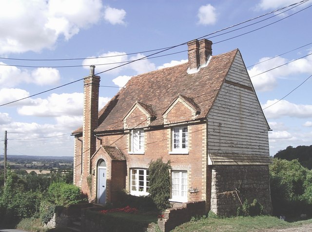
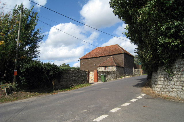
Historically, Five Wents was an agricultural community, with farming being the main occupation of its residents. Today, the village retains its rural character, with a mix of traditional cottages and more modern houses. The village is known for its peaceful and tranquil atmosphere, making it an ideal place for those seeking a quiet and idyllic setting.
There are limited amenities in Five Wents, with the nearest shops and services located in the nearby towns of Maidstone and West Malling. However, the village benefits from excellent transport links, with easy access to the A229 road, which connects to other major towns and cities in the area.
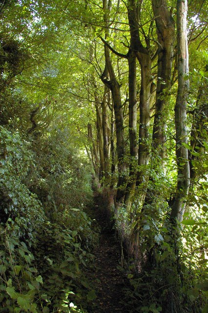
For outdoor enthusiasts, Five Wents offers plenty of opportunities to explore the surrounding countryside. There are several footpaths and bridleways that crisscross the area, providing scenic walks and bike rides. Additionally, the nearby River Medway offers the chance for boating and fishing activities.
Overall, Five Wents is a charming and peaceful village in the heart of the Kent countryside. Its picturesque setting, coupled with its close proximity to larger towns and excellent transport links, makes it an attractive place to live for those seeking a rural lifestyle with easy access to amenities.
If you have any feedback on the listing, please let us know in the comments section below.
Five Wents Images
Images are sourced within 2km of 51.228096/0.585948 or Grid Reference TQ8050. Thanks to Geograph Open Source API. All images are credited.


Five Wents is located at Grid Ref: TQ8050 (Lat: 51.228096, Lng: 0.585948)
Administrative County: Kent
District: Maidstone
Police Authority: Kent
What 3 Words
///jaundice.ticket.knots. Near Harrietsham, Kent
Nearby Locations
Related Wikis

Langley, Kent
Langley is a village and civil parish in the Maidstone District of Kent, England. The parish is located on the A274 road leading south from Maidstone to...

Chart Sutton
Chart Sutton is a civil parish and small village on the edge of the Weald of Kent, England. It lies approximately 5 miles (8 km) to the south of Maidstone...

Sutton Valence School
Sutton Valence School (SVS) is an independent school near Maidstone in southeast England. It has 560 pupils. It is a co-educational day and boarding school...

Sutton Valence
Sutton Valence (in the past also called Sudtone, Town Sutton and Sutton Hastings, see below) is a village about five miles (8 km) SE of Maidstone, Kent...
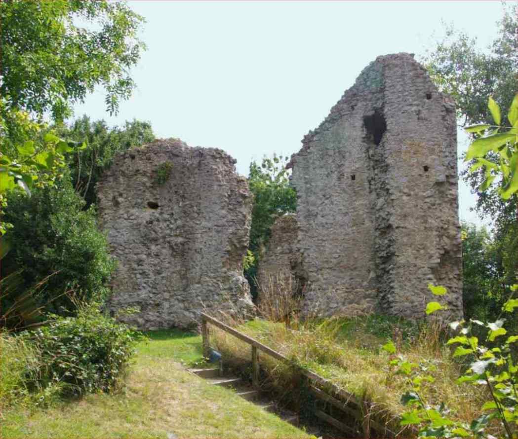
Sutton Valence Castle
Sutton Valence Castle is a ruined medieval fortification in the village of Sutton Valence in Kent, England. Overlooking a strategic route to the coast...
Bearsted F.C.
Bearsted Football Club is a football club located in Bearsted, near Maidstone, in Kent, England. The club are currently members of the Southern Counties...
Senacre Technology College
Senacre Technology College was a secondary school in Maidstone, Kent. The school became a Technology College in September 1994.The school closed in 2008...
Synyards
Synyards is a late 15th-century house in Otham, Kent. The house was built in the late 15th century with additions in the 16th century and in 1663. It is...
Nearby Amenities
Located within 500m of 51.228096,0.585948Have you been to Five Wents?
Leave your review of Five Wents below (or comments, questions and feedback).