Black Plantation
Wood, Forest in Suffolk West Suffolk
England
Black Plantation
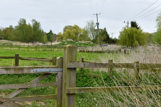
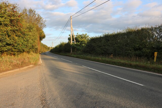
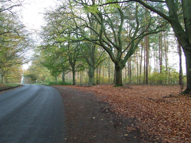
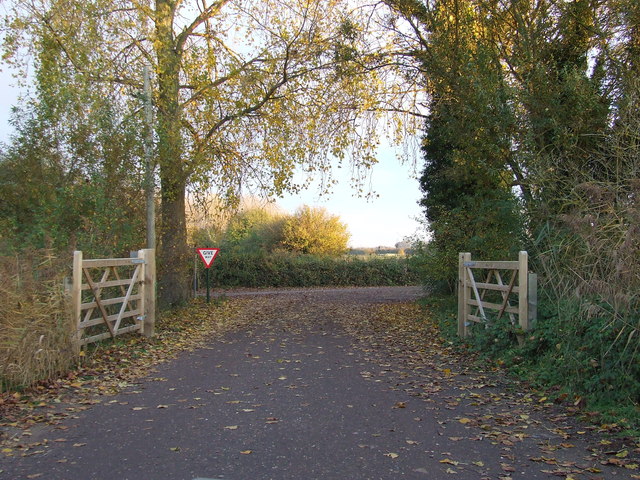
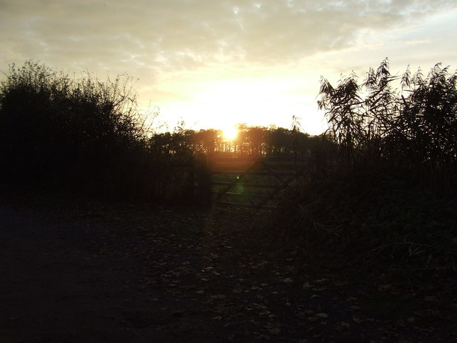
Black Plantation, Suffolk (Wood, Forest) is a historical site located in Suffolk, England. Set amidst the picturesque countryside, this plantation holds significant historical and cultural importance. Spanning over a vast area of land, it is characterized by dense forests and woodlands, making it an enchanting destination for nature enthusiasts.
The name "Black Plantation" is believed to have originated from the dark and rich soil found in this area, which provided fertile ground for the growth of various plant species. With a diverse range of flora and fauna, the plantation offers a habitat for numerous species of birds, mammals, and insects.
The plantation has a long and storied history, dating back several centuries. It played a crucial role in the local economy, serving as a center for timber production and trade. The abundant supply of trees in the plantation allowed for the establishment of sawmills, which contributed to the growth of the surrounding communities.
Today, Black Plantation is a popular destination for recreational activities such as hiking, bird watching, and photography. The well-maintained walking trails provide visitors with an opportunity to explore the natural beauty of the woodland, and the plantation also offers picnic areas for families and groups to enjoy.
The site is also of historical interest, with remnants of old structures and artifacts scattered throughout the area. Visitors can learn about the plantation's past through informative signboards and interpretive displays located along the trails.
In conclusion, Black Plantation, Suffolk (Wood, Forest) is a captivating destination that combines natural beauty with a rich historical legacy. With its diverse flora and fauna, as well as its cultural significance, it attracts visitors from near and far, providing a unique experience for all who visit.
If you have any feedback on the listing, please let us know in the comments section below.
Black Plantation Images
Images are sourced within 2km of 52.29957/0.65240316 or Grid Reference TL8070. Thanks to Geograph Open Source API. All images are credited.
Black Plantation is located at Grid Ref: TL8070 (Lat: 52.29957, Lng: 0.65240316)
Administrative County: Suffolk
District: West Suffolk
Police Authority: Suffolk
What 3 Words
///hairpin.fully.perfectly. Near Bury St Edmunds, Suffolk
Nearby Locations
Related Wikis

Flempton
Flempton is a village and civil parish in the West Suffolk district of Suffolk, England. It is on the A1101 road 5 miles NW from Bury St Edmunds. Flempton...

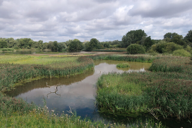
Lackford Lakes
Lackford Lakes is a 105.8-hectare (261-acre) biological Site of Special Scientific Interest (SSSI) north and east of Lackford in Suffolk. The SSSI is part...

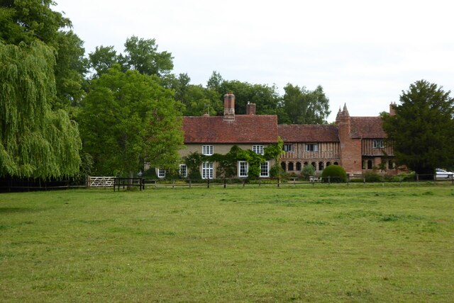
West Stow Hall
West Stow Hall is a Tudor manor house in West Stow, Suffolk, England, near Bury St Edmunds. It was begun in around 1520 for Sir John Croftes, Master of...

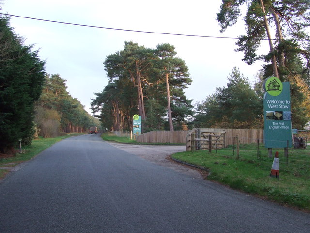
West Stow
West Stow is a small village and civil parish in West Suffolk, England. The village lies north of Bury St. Edmunds, south of Mildenhall and Thetford and...

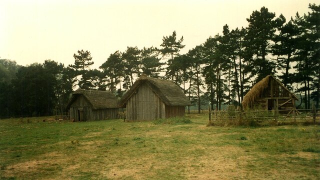
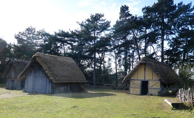
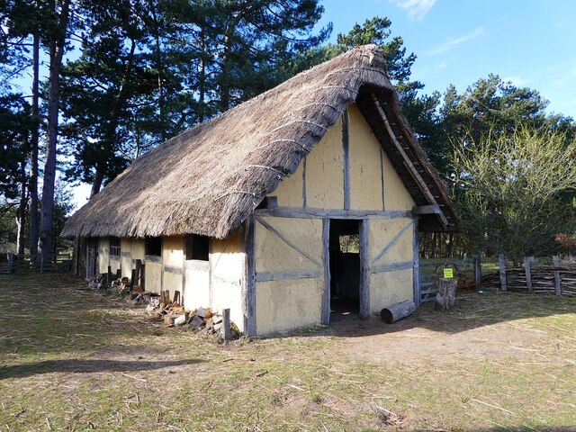
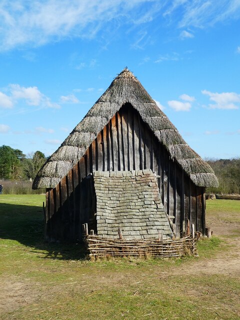
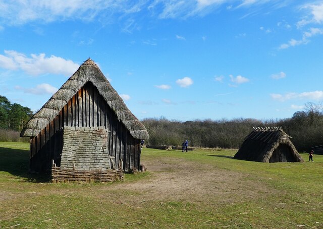
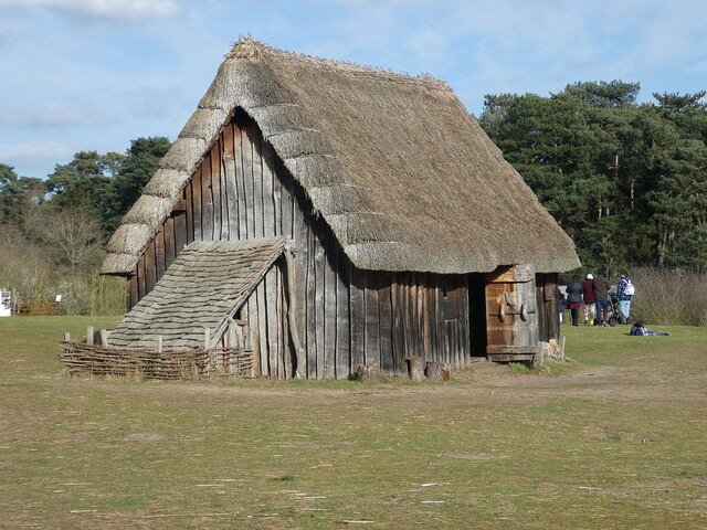
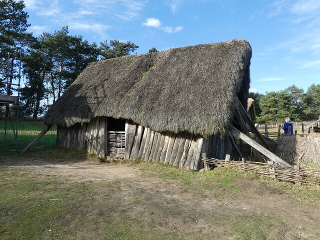
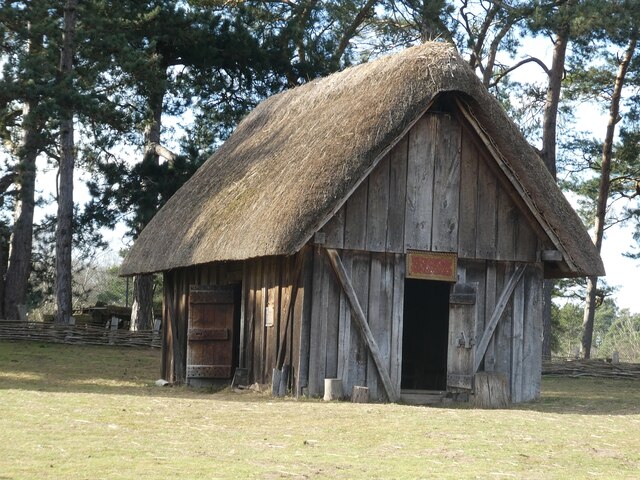
West Stow Anglo-Saxon Village
West Stow Anglo-Saxon Village is an archaeological site and an open-air museum located near to West Stow in Suffolk, eastern England. Evidence for intermittent...

Lackford
Lackford is a village and civil parish in the West Suffolk district of Suffolk in eastern England. Located around four miles north-west of Bury St Edmunds...
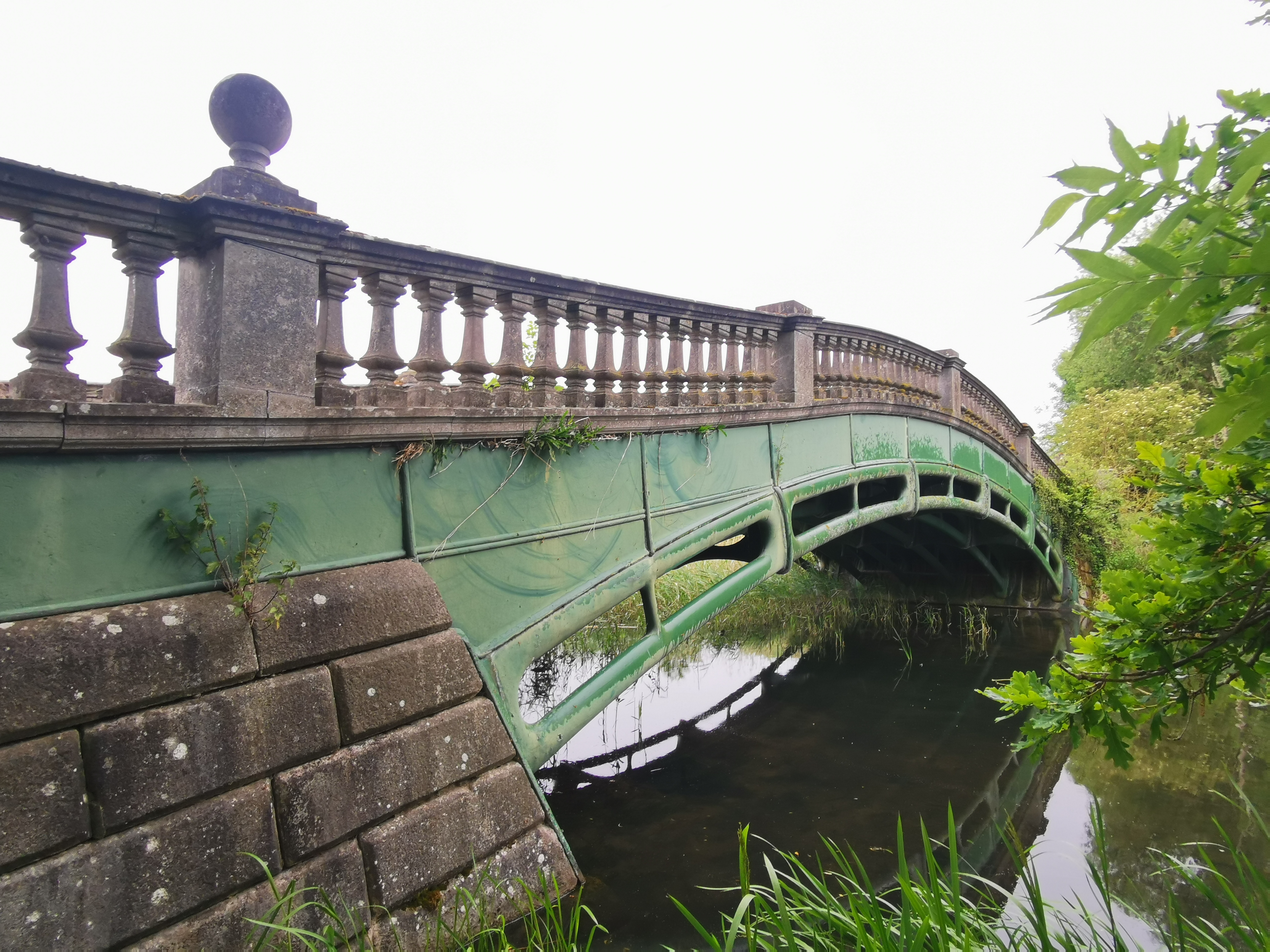
The Iron Bridge, Culford Park
The Iron Bridge is a grade I listed early cast iron bridge crossing a tributary of the River Lark in grounds of Culford Park in the village of Culford...

West Stow Heath
West Stow Heath is a 44.3-hectare (109-acre) biological Site of Special Scientific Interest west of West Stow in Suffolk. It is part of the Breckland Special...
Nearby Amenities
Located within 500m of 52.29957,0.65240316Have you been to Black Plantation?
Leave your review of Black Plantation below (or comments, questions and feedback).