Ash Carr
Wood, Forest in Suffolk West Suffolk
England
Ash Carr
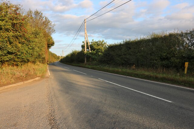
Ash Carr is a small village located in the county of Suffolk, England. Situated within the region known as the Wood or Forest of Suffolk, the village is surrounded by picturesque landscapes and abundant natural beauty. It lies approximately 10 miles northeast of the town of Ipswich and is easily accessible by road.
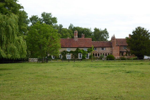
The village of Ash Carr is characterized by its rural charm and tranquility. It is home to a close-knit community, with a population of around 200 residents. The village is comprised of a handful of traditional cottages and houses, many of which boast stunning views of the surrounding woodlands.
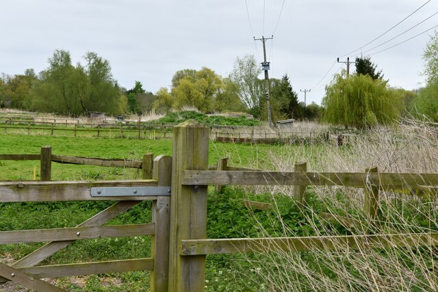
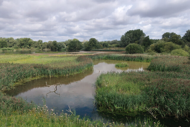
The Wood of Suffolk, also known as the Forest of Suffolk, is a vast area of woodland that encompasses Ash Carr. This woodland is a haven for wildlife and nature enthusiasts, offering numerous walking trails and opportunities for exploration. The forest is primarily composed of broadleaf trees such as oak, ash, and beech, creating a diverse and vibrant ecosystem.
Ash Carr itself does not have many amenities, with no shops or schools within the village. However, it is in close proximity to neighboring villages and towns where these facilities can be found. This allows residents to enjoy a peaceful rural lifestyle while still having access to essential services.
Overall, Ash Carr is an idyllic village nestled within the Wood of Suffolk. With its natural beauty, close-knit community, and access to the surrounding woodlands, it offers a serene and picturesque setting for residents and visitors alike.
If you have any feedback on the listing, please let us know in the comments section below.
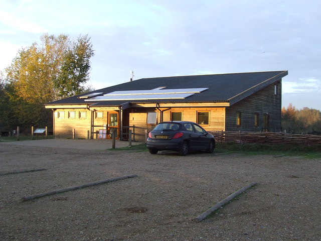
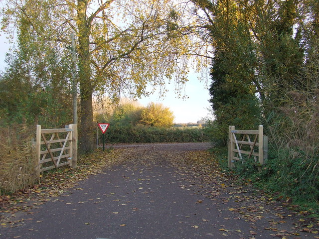
Ash Carr Images
Images are sourced within 2km of 52.302509/0.64565506 or Grid Reference TL8070. Thanks to Geograph Open Source API. All images are credited.
Ash Carr is located at Grid Ref: TL8070 (Lat: 52.302509, Lng: 0.64565506)
Administrative County: Suffolk
District: West Suffolk
Police Authority: Suffolk
What 3 Words
///bristle.skate.hypocrite. Near Bury St Edmunds, Suffolk
Nearby Locations
Related Wikis

Flempton
Flempton is a village and civil parish in the West Suffolk district of Suffolk, England. It is on the A1101 road 5 miles NW from Bury St Edmunds. Flempton...

Lackford Lakes
Lackford Lakes is a 105.8-hectare (261-acre) biological Site of Special Scientific Interest (SSSI) north and east of Lackford in Suffolk. The SSSI is part...

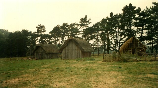
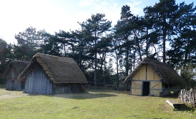
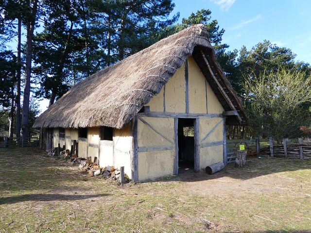
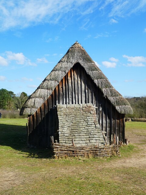
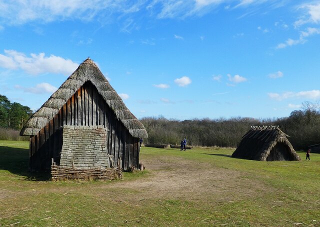
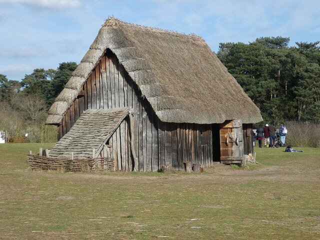
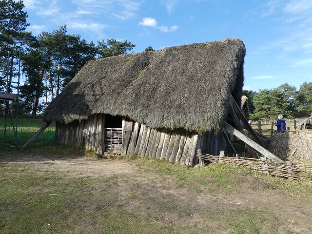
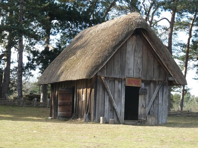
West Stow Anglo-Saxon Village
West Stow Anglo-Saxon Village is an archaeological site and an open-air museum located near to West Stow in Suffolk, eastern England. Evidence for intermittent...

West Stow Hall
West Stow Hall is a Tudor manor house in West Stow, Suffolk, England, near Bury St Edmunds. It was begun in around 1520 for Sir John Croftes, Master of...

Lackford
Lackford is a village and civil parish in the West Suffolk district of Suffolk in eastern England. Located around four miles north-west of Bury St Edmunds...

West Stow Heath
West Stow Heath is a 44.3-hectare (109-acre) biological Site of Special Scientific Interest west of West Stow in Suffolk. It is part of the Breckland Special...

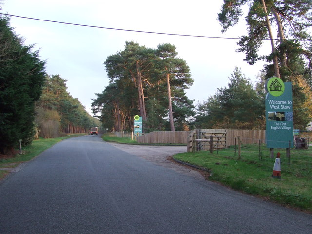
West Stow
West Stow is a small village and civil parish in West Suffolk, England. The village lies north of Bury St. Edmunds, south of Mildenhall and Thetford and...
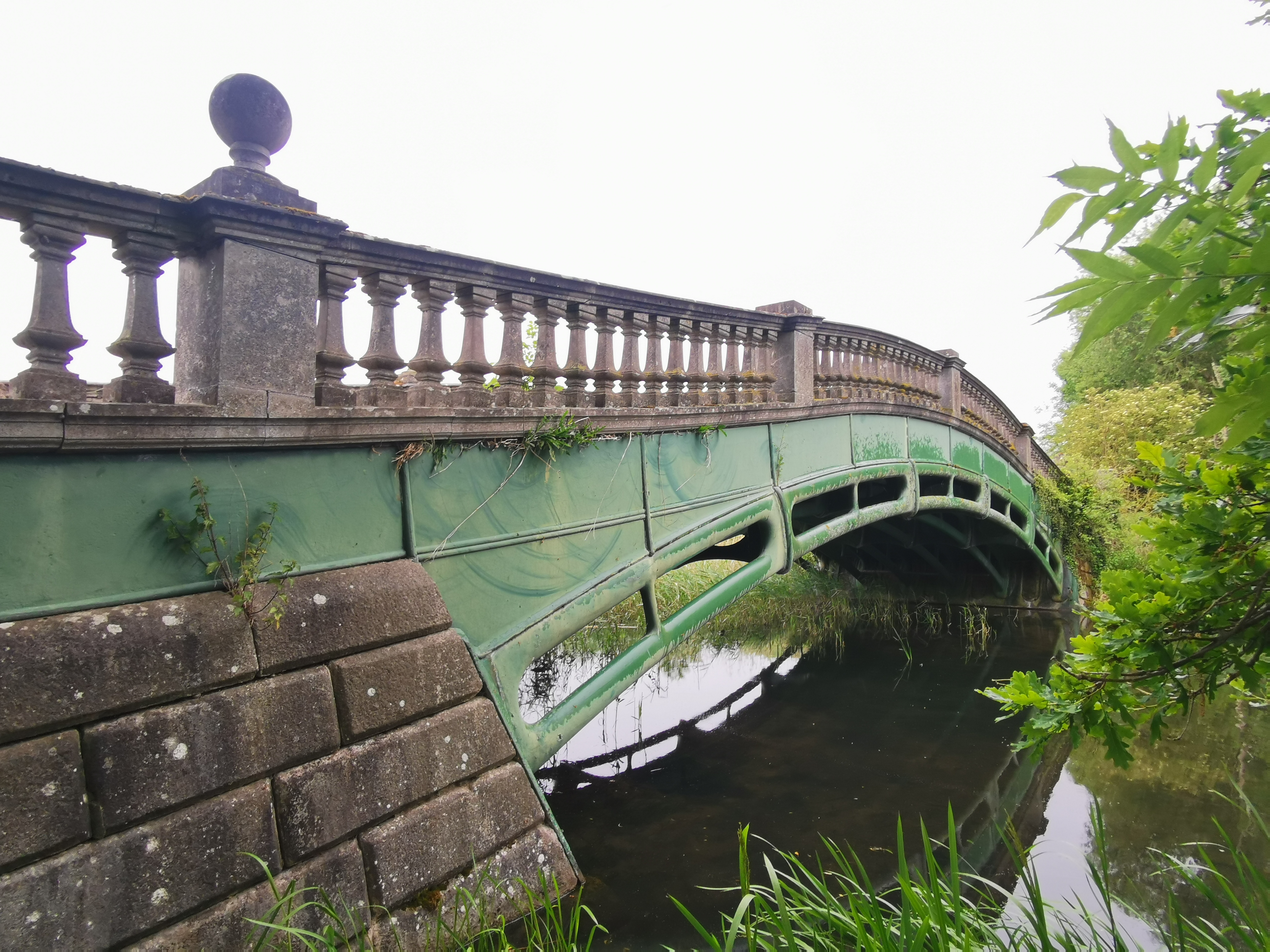
The Iron Bridge, Culford Park
The Iron Bridge is a grade I listed early cast iron bridge crossing a tributary of the River Lark in grounds of Culford Park in the village of Culford...
Nearby Amenities
Located within 500m of 52.302509,0.64565506Have you been to Ash Carr?
Leave your review of Ash Carr below (or comments, questions and feedback).