Sparrow's Wood
Wood, Forest in Suffolk Babergh
England
Sparrow's Wood
Sparrow's Wood is a picturesque forest located in Suffolk, England. Situated in the eastern part of the county, this woodland covers an approximate area of 100 acres, making it a significant natural reserve in the region. The wood is named after the abundant presence of sparrows, which have made it their habitat over the years.
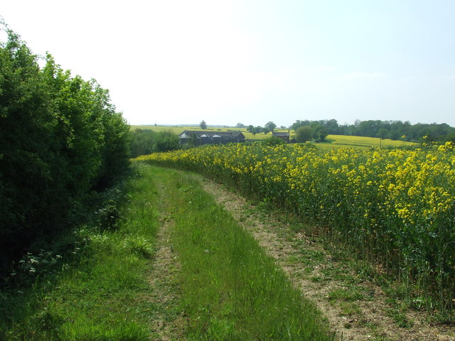
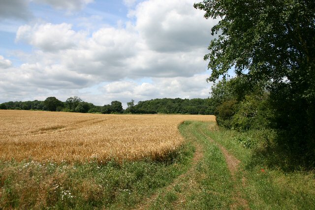
The forest boasts a diverse range of flora and fauna, making it an ideal destination for nature enthusiasts and wildlife lovers. Tall, majestic oak trees dominate the landscape, with their sprawling branches providing ample shade and shelter. Other tree species found in the wood include beech, birch, and ash, creating a rich and varied ecosystem.
Sparrow's Wood is home to a wide variety of wildlife, including various bird species, such as woodpeckers, nightingales, and tawny owls. The forest also houses a thriving population of small mammals, including squirrels, rabbits, and foxes. Visitors may also spot occasional sightings of deer, adding to the enchanting experience of exploring the wood.
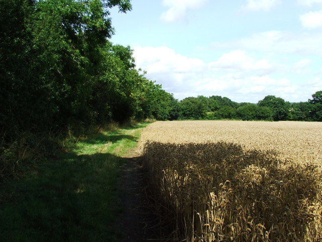
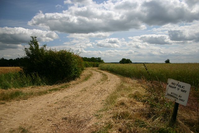
The wood offers several walking trails and pathways, allowing visitors to immerse themselves in its natural beauty. These paths wind through the dense foliage, revealing hidden clearings, tranquil ponds, and babbling brooks. The wood is a popular spot for nature walks, picnics, and outdoor activities, attracting both locals and tourists throughout the year.
With its serene atmosphere, diverse wildlife, and stunning natural landscapes, Sparrow's Wood is truly a hidden gem in Suffolk. It provides a peaceful retreat for anyone seeking solace in nature's embrace.
If you have any feedback on the listing, please let us know in the comments section below.
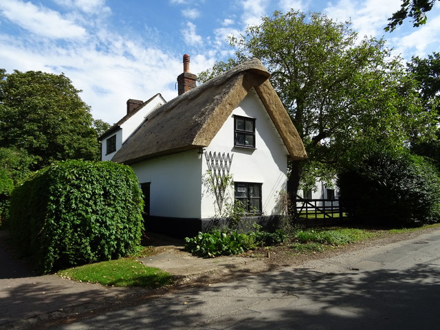
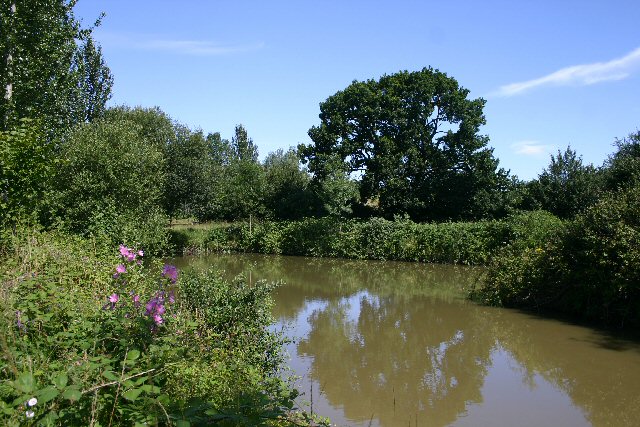
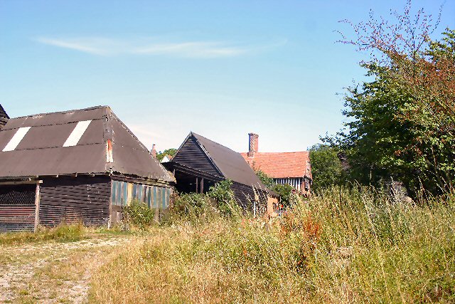
Sparrow's Wood Images
Images are sourced within 2km of 52.117642/0.63458774 or Grid Reference TL8049. Thanks to Geograph Open Source API. All images are credited.


Sparrow's Wood is located at Grid Ref: TL8049 (Lat: 52.117642, Lng: 0.63458774)
Administrative County: Suffolk
District: Babergh
Police Authority: Suffolk
What 3 Words
///softly.anchovies.scaffold. Near Glemsford, Suffolk
Nearby Locations
Related Wikis

Cavendish Woods
Cavendish Woods is a 53.5-hectare (132-acre) biological Site of Special Scientific Interest north-west of Glemsford in Suffolk.These ancient woods are...

Colt's Hall, Cavendish
Colt's Hall is an old manor house in Cavendish, Suffolk, England. It is a Grade II listed building. == Queen Elizabeth's visit == In this house George...

Boxted, Suffolk
Boxted is a village and civil parish in the Babergh district of Suffolk, England. Located around 8 miles (13 km) north of Sudbury, in 2005 it had a population...

Stansfield
Stansfield is a village and civil parish in the West Suffolk district of Suffolk in eastern England. Located seven miles south-west of Bury St Edmunds...

Glemsford
Glemsford is a village in the Babergh district in Suffolk, England, near the town of Sudbury. Glemsford is located near the River Glem and the River Stour...
Risbridge Hundred
Risbridge is a hundred of Suffolk, consisting of 58,468 acres (236.61 km2).Risbridge Hundred forms the south western corner of Suffolk extending 15 miles...
Hawkedon
Hawkedon is a village and civil parish in the West Suffolk district of Suffolk in eastern England. Located around 7 miles (11 km) south-south-west of Bury...

Somerton, Suffolk
Somerton is a civil parish in the Babergh district of Suffolk in eastern England. Somerton is split into two smaller villages: Upper Somerton with a population...
Nearby Amenities
Located within 500m of 52.117642,0.63458774Have you been to Sparrow's Wood?
Leave your review of Sparrow's Wood below (or comments, questions and feedback).