Shakers Wood

Wood, Forest in Norfolk Breckland

England

Shakers Wood

Study of a Gasoline Station Gulf, Ickburgh.

 This photograph is part of a series taken in homage to the American artist Ed Ruscha's 1963 publication of 'Twentysix Gasoline Stations'.
 More properly known as filling stations in the UK, I am attempting to photograph as many as possible to mark the sixty year anniversary.
Study of a Gasoline Station Credit: David Bremner

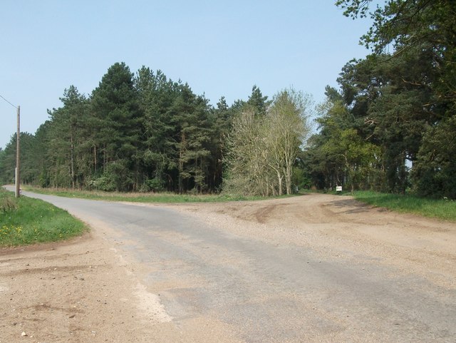
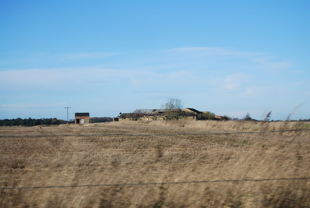
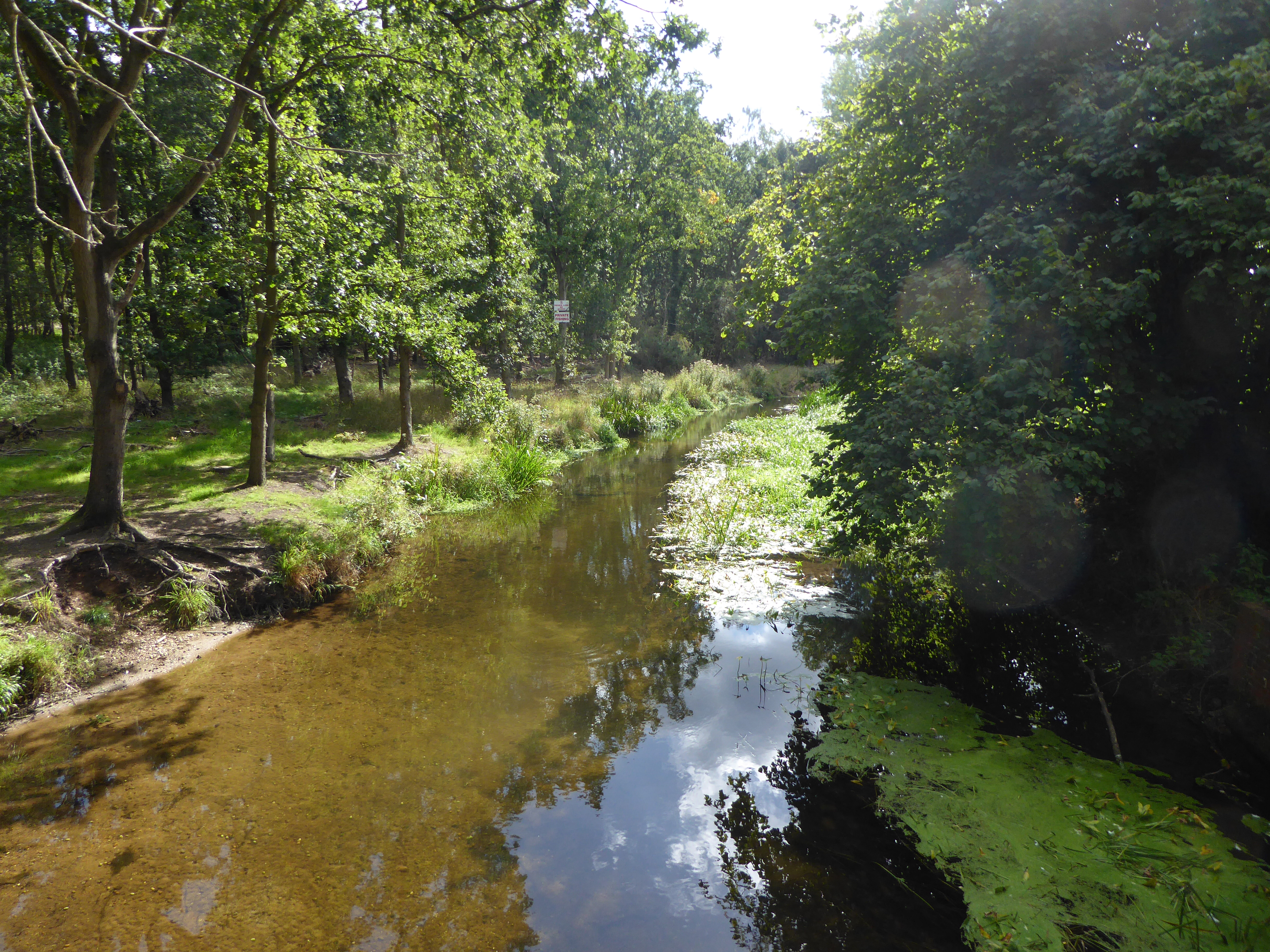
Shakers Wood is a picturesque forest located in the county of Norfolk, England. Covering an area of approximately 50 acres, this enchanting woodland is nestled within the heart of the Norfolk Broads, a renowned national park. Shakers Wood is known for its diverse range of tree species, including oak, beech, ash, and pine, creating a rich and vibrant ecosystem.

This natural haven offers visitors a tranquil escape from the hustle and bustle of everyday life. The forest boasts well-maintained walking trails, guiding visitors through its breathtaking scenery. As visitors meander through the woodland, they may encounter a variety of wildlife, such as deer, squirrels, and a wide array of bird species.

Shakers Wood also presents an opportunity for nature enthusiasts to explore and engage in activities such as birdwatching and photography. The forest's serene atmosphere and diverse flora and fauna make it a perfect spot for relaxation and rejuvenation.

The woodland is easily accessible, with ample parking facilities available nearby. Additionally, there are picnic areas and benches scattered throughout the forest, providing visitors with the opportunity to pause, rest, and take in the natural beauty that surrounds them.

Shakers Wood is a popular destination for both locals and tourists alike, attracting nature lovers, families, and individuals seeking solace in its peaceful ambience. With its idyllic setting and abundant biodiversity, Shakers Wood offers an unforgettable experience for those who venture into its leafy embrace.

If you have any feedback on the listing, please let us know in the comments section below.
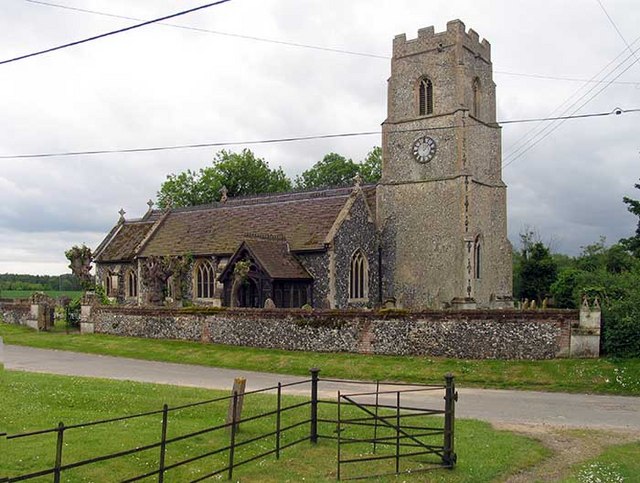
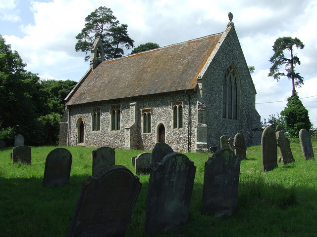
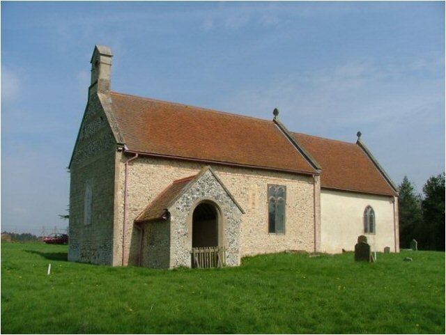
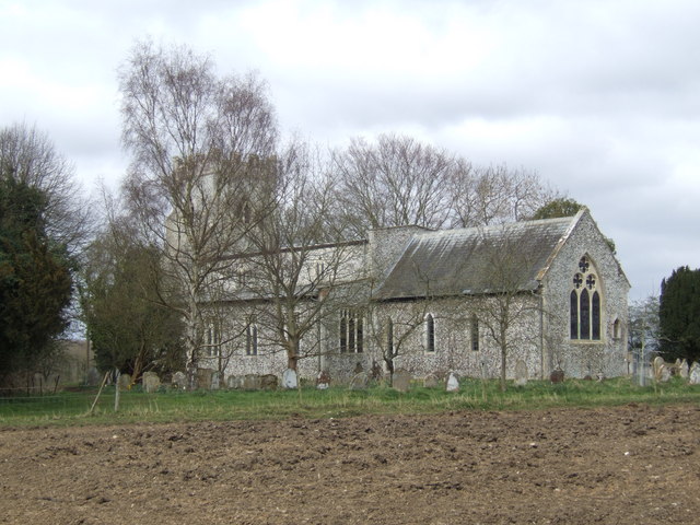
Shakers Wood Images

Images are sourced within 2km of 52.535404/0.66659988 or Grid Reference TL8096. Thanks to Geograph Open Source API. All images are credited.

Study of a Gasoline Station Gulf, Ickburgh.

 This photograph is part of a series taken in homage to the American artist Ed Ruscha's 1963 publication of 'Twentysix Gasoline Stations'.
 More properly known as filling stations in the UK, I am attempting to photograph as many as possible to mark the sixty year anniversary.
Study of a Gasoline Station
Gulf, Ickburgh. This photograph is part of a series taken in homage to the American artist Ed Ruscha's 1963 publication of 'Twentysix Gasoline Stations'. More properly known as filling stations in the UK, I am attempting to photograph as many as possible to mark the sixty year anniversary.
St Peter Ickburgh The church of St Peter Ickburgh, Norfolk for more info see <span class="nowrap"><a title="http://www.norfolkchurches.co.uk/ickburgh/ickburgh.htm" rel="nofollow ugc noopener" href="http://www.norfolkchurches.co.uk/ickburgh/ickburgh.htm">Link</a><img style="margin-left:2px;" alt="External link" title="External link - shift click to open in new window" src="https://s1.geograph.org.uk/img/external.png" width="10" height="10"/></span>
St Peter Ickburgh
The church of St Peter Ickburgh, Norfolk for more info see LinkExternal link
Foulden Road Foulden road near to Ickburgh, Norfolk.
Foulden Road
Foulden road near to Ickburgh, Norfolk.
Desert Rats memorial
Entering Ickburgh, A1065 The A1065 is an important route through the centre of Norfolk. It starts on the infamous Five Ways roundabout at Barton Mills, leaving the A11, and heads up through countryside for nearly 40 miles, crossing the A47 at Swaffham en route, until it ends on the A148 just outside Fakenham.
Entering Ickburgh, A1065
The A1065 is an important route through the centre of Norfolk. It starts on the infamous Five Ways roundabout at Barton Mills, leaving the A11, and heads up through countryside for nearly 40 miles, crossing the A47 at Swaffham en route, until it ends on the A148 just outside Fakenham.
A1065, northbound The A1065 is an important route through the centre of Norfolk. It starts on the infamous Five Ways roundabout at Barton Mills, leaving the A11, and heads up through countryside for nearly 40 miles, crossing the A47 at Swaffham en route, until it ends on the A148 just outside Fakenham.
A1065, northbound
The A1065 is an important route through the centre of Norfolk. It starts on the infamous Five Ways roundabout at Barton Mills, leaving the A11, and heads up through countryside for nearly 40 miles, crossing the A47 at Swaffham en route, until it ends on the A148 just outside Fakenham.
A1065, Thetford forest The A1065 is an important route through the centre of Norfolk. It starts on the infamous Five Ways roundabout at Barton Mills, leaving the A11, and heads up through countryside for nearly 40 miles, crossing the A47 at Swaffham en route, until it ends on the A148 just outside Fakenham.
A1065, Thetford forest
The A1065 is an important route through the centre of Norfolk. It starts on the infamous Five Ways roundabout at Barton Mills, leaving the A11, and heads up through countryside for nearly 40 miles, crossing the A47 at Swaffham en route, until it ends on the A148 just outside Fakenham.
7th Armoured Division Memorial War memorials were mainly constructed after WWI to commemorate the troops who gave their lives in the war. Many were then updated after WWII. Some war memorials date back to the Boer War. Almost every town and village in Britain has a War Memorial. They take many forms, the commonest being an obelisk, a cross or statue of a soldier. Some commemorate the inhabitants of a place, some are for schools and others are for companies or Military groupings.
Many memorials are grade II listed, 61 are II* listed, <span class="nowrap"><a title="https://en.wikipedia.org/wiki/Grade_II" rel="nofollow ugc noopener" href="https://en.wikipedia.org/wiki/Grade_II">Link</a><img style="margin-left:2px;" alt="External link" title="External link - shift click to open in new window" src="https://s1.geograph.org.uk/img/external.png" width="10" height="10"/></span>*_listed_war_memorials_in_England  
 & 12 are Grade I listed. <span class="nowrap"><a title="https://en.wikipedia.org/wiki/Grade_I_listed_war_memorials_in_England" rel="nofollow ugc noopener" href="https://en.wikipedia.org/wiki/Grade_I_listed_war_memorials_in_England">Link</a><img style="margin-left:2px;" alt="External link" title="External link - shift click to open in new window" src="https://s1.geograph.org.uk/img/external.png" width="10" height="10"/></span> 
A search for memorials can be carried out at <span class="nowrap"><a title="http://www.ukniwm.org.uk/server/show/nav.002006003" rel="nofollow ugc noopener" href="http://www.ukniwm.org.uk/server/show/nav.002006003">Link</a><img style="margin-left:2px;" alt="External link" title="External link - shift click to open in new window" src="https://s1.geograph.org.uk/img/external.png" width="10" height="10"/></span>
7th Armoured Division Memorial
War memorials were mainly constructed after WWI to commemorate the troops who gave their lives in the war. Many were then updated after WWII. Some war memorials date back to the Boer War. Almost every town and village in Britain has a War Memorial. They take many forms, the commonest being an obelisk, a cross or statue of a soldier. Some commemorate the inhabitants of a place, some are for schools and others are for companies or Military groupings. Many memorials are grade II listed, 61 are II* listed, LinkExternal link*_listed_war_memorials_in_England & 12 are Grade I listed. LinkExternal link A search for memorials can be carried out at LinkExternal link
Little Langford Farm
A1065 approaching the Watton turning The A1065 is an important route through the centre of Norfolk. It starts on the infamous Five Ways roundabout at Barton Mills, leaving the A11, and heads up through countryside for nearly 40 miles, crossing the A47 at Swaffham en route, until it ends on the A148 just outside Fakenham.
A1065 approaching the Watton turning
The A1065 is an important route through the centre of Norfolk. It starts on the infamous Five Ways roundabout at Barton Mills, leaving the A11, and heads up through countryside for nearly 40 miles, crossing the A47 at Swaffham en route, until it ends on the A148 just outside Fakenham.
Bridge guardrail on the A1065 over the River Wissey
Thatched cottage at Ickburgh
Ickburgh village sign Village signs are typically placed along the principal road or in a prominent location such as a village green or close by the church. The design often depicts a particularly feature of the village or a scene from its history, heritage, or culture. They are typically made of wood or metal or a combination of both, the designs are often made by the local community.
Although they do appear in villages and towns all over the country they are more prominent in East Anglia than elsewhere in the country.
Ickburgh village sign
Village signs are typically placed along the principal road or in a prominent location such as a village green or close by the church. The design often depicts a particularly feature of the village or a scene from its history, heritage, or culture. They are typically made of wood or metal or a combination of both, the designs are often made by the local community. Although they do appear in villages and towns all over the country they are more prominent in East Anglia than elsewhere in the country.
Ickburgh village sign (detail) Surmounted by what is believed to be Black Shuck, the legendary dog of East Anglia. The Baring coat of arms appears in the top left portion of the sign, the shield shows head of a bear. The date 1887 on the building, refers to the single storey almshouses built opposite the church in 1887 by Claire Eugenie Hortense, Lady Ashburton in memory of her husband, Francis, 3rd Lord Ashburton. The school which he had built is represented by the two teachers, the children and the bell. The crossed keys represent the church of St Peter.
Ickburgh village sign (detail)
Surmounted by what is believed to be Black Shuck, the legendary dog of East Anglia. The Baring coat of arms appears in the top left portion of the sign, the shield shows head of a bear. The date 1887 on the building, refers to the single storey almshouses built opposite the church in 1887 by Claire Eugenie Hortense, Lady Ashburton in memory of her husband, Francis, 3rd Lord Ashburton. The school which he had built is represented by the two teachers, the children and the bell. The crossed keys represent the church of St Peter.
Scots Pine beside the A1065
Thetford Forest's tribute to the Desert Rats The memorial plaque can be seen here: <a title="https://www.geograph.org.uk/photo/4351214" href="https://www.geograph.org.uk/photo/4351214">Link</a>
Thetford Forest's tribute to the Desert Rats
The memorial plaque can be seen here: Link
The plaque on the Desert Rat's memorial
Ickburgh War Memorial
Show me another place!

Shakers Wood is located at Grid Ref: TL8096 (Lat: 52.535404, Lng: 0.66659988)

Administrative County: Norfolk

District: Breckland

Police Authority: Norfolk

What 3 Words

///rankings.circling.meanwhile. Near Mundford, Norfolk

Nearby Locations

Shakers Wood Round Covert

Related Wikis

Ickburgh

Ickburgh is a village and civil parish in the English county of Norfolk. It is situated on the A1065 Mildenhall to Fakenham road, some 5.5 miles (8.9 km...

Bodney

Bodney is a village and former civil parish, now in the parish of Hilborough, in the Breckland district, in the county of Norfolk, England. In 1931 the...

Lynford Hall

Lynford Hall is a neo-Jacobean country house at Mundford, near Thetford in the English county of Norfolk. It is now a hotel. == Location == The Lynford...

Langford, Norfolk

Langford is a village and former civil parish, now in the parish of Ickburgh, in the Breckland district, in the county of Norfolk, England. The village...

Didlington

Didlington is a village in the Breckland district of mid-Norfolk, East Anglia, England in the United Kingdom. It has an area of 11.07 km2 (4.27 sq mi)...

Mundford

Mundford is a village and civil parish in the English county of Norfolk. It is situated at the intersection of two major routes, the A134 Colchester to...

Didlington Park Lakes

Didlington Park Lakes is a 26.1-hectare (64-acre) biological Site of Special Scientific Interest south of Didlington in Norfolk.These three artificial...

Cranwich

Cranwich is a village and civil parish in the English county of Norfolk, about 2 miles (3.2 km) northwest of Mundford. For the purposes of local government...

Nearby Amenities

Located within 500m of 52.535404,0.66659988
Desert Rats Memorial
Historic: monument
Lat/Long: 52.5382811/0.6720155
Pipeline: marker
Substance: oil
Lat/Long: 52.5379745/0.6721035
Information: board
Tourism: information
Lat/Long: 52.5368214/0.6643882
Information: board
Tourism: information
Lat/Long: 52.5380106/0.6646456
Information: board
Tourism: information
Lat/Long: 52.5373559/0.6644702
Information: board
Tourism: information
Lat/Long: 52.5381733/0.6717058
Information: board
Tourism: information
Lat/Long: 52.5382372/0.6683535
Information: board
Tourism: information
Lat/Long: 52.5375295/0.6682183
Information: board
Tourism: information
Lat/Long: 52.5381762/0.6713227
Information: board
Tourism: information
Lat/Long: 52.5383137/0.6646847
Pipeline: marker
Substance: oil
Lat/Long: 52.5348119/0.6711961
Fixme: resurvey
Note: location approx -- on south side of boundary, but unsure of distance from road
Pipeline: marker
Lat/Long: 52.5311743/0.6674281
Bench
Lat/Long: 52.538234/0.6685139
Parking
Access: yes
Fee: no
Parking: surface
Surface: gravel
Lat/Long: 52.5381778/0.6718089
Parking
Access: yes
Fee: no
Parking: surface
Surface: gravel
Lat/Long: 52.5383801/0.6709157
The data included in this document is from www.openstreetmap.org. The data is made available under ODbL.

Have you been to Shakers Wood?

Leave your review of Shakers Wood below (or comments, questions and feedback).