Five Acres
Settlement in Gloucestershire Forest of Dean
England
Five Acres

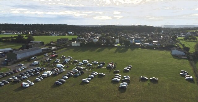
Five Acres is a small village located in the Forest of Dean district of Gloucestershire, England. Situated about 4 miles southwest of the town of Coleford, it lies near the border with Wales. The village is surrounded by picturesque countryside and is known for its tranquil and idyllic setting.
Five Acres is primarily a residential area, with a mix of traditional cottages and modern houses. The village offers a peaceful retreat for those looking to escape the hustle and bustle of city life. It is well-connected to other nearby towns and cities, with good road links to Gloucester, Cheltenham, and Bristol.
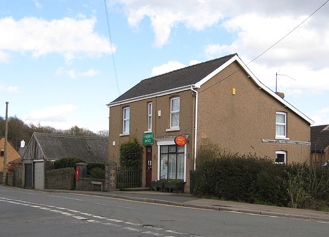
Despite its small size, Five Acres has a number of amenities and facilities to cater to the needs of its residents. There is a local convenience store, a post office, and a pub, providing essential services and a sense of community. The village also has a primary school, making it an attractive location for families.
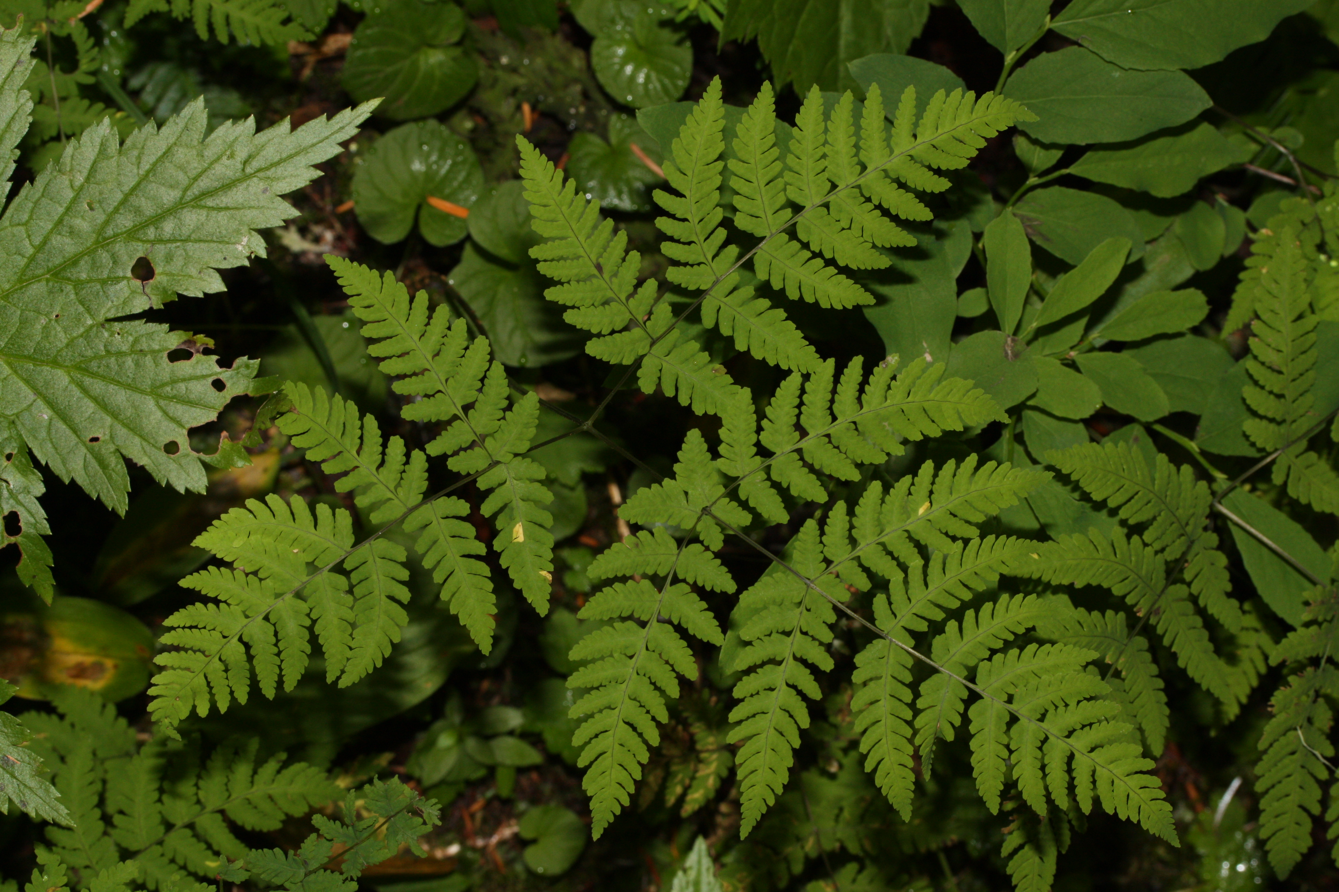
For outdoor enthusiasts, Five Acres is surrounded by natural beauty and offers ample opportunities for exploring the Forest of Dean. The area is renowned for its woodland walks, cycling trails, and wildlife spotting, making it a haven for nature lovers.
Overall, Five Acres is a charming village that offers a peaceful and close-knit community, surrounded by beautiful countryside. It provides a serene and picturesque setting for residents to enjoy a relaxed way of life.
If you have any feedback on the listing, please let us know in the comments section below.
Five Acres Images
Images are sourced within 2km of 51.809052/-2.611347 or Grid Reference SO5712. Thanks to Geograph Open Source API. All images are credited.


Five Acres is located at Grid Ref: SO5712 (Lat: 51.809052, Lng: -2.611347)
Administrative County: Gloucestershire
District: Forest of Dean
Police Authority: Gloucestershire
What 3 Words
///regress.canyons.foggy. Near Coleford, Gloucestershire
Nearby Locations
Related Wikis
Five Acres High School
Five Acres High School, formerly Lakers School, is an academy in Coleford, Gloucestershire. Simon Phelps is the Headteacher, Five Acres is an Academy which...

Royal Forest of Dean College
Royal Forest of Dean College was a college of further education located close to the town of Coleford, in the Forest of Dean in west Gloucestershire. It...
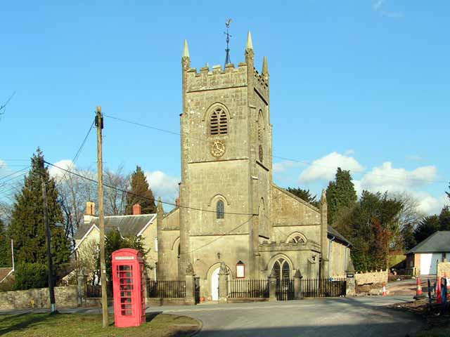
Berry Hill, Gloucestershire
Berry Hill is a village in Gloucestershire, England, 1.5 miles north of the town of Coleford. Berry Hill includes the settlements of Five Acres to the...

Mile End, Gloucestershire
Mile End is a small village in the English county of Gloucestershire. It belongs to the civil parish of Coleford, which is also its post town. Mile End...
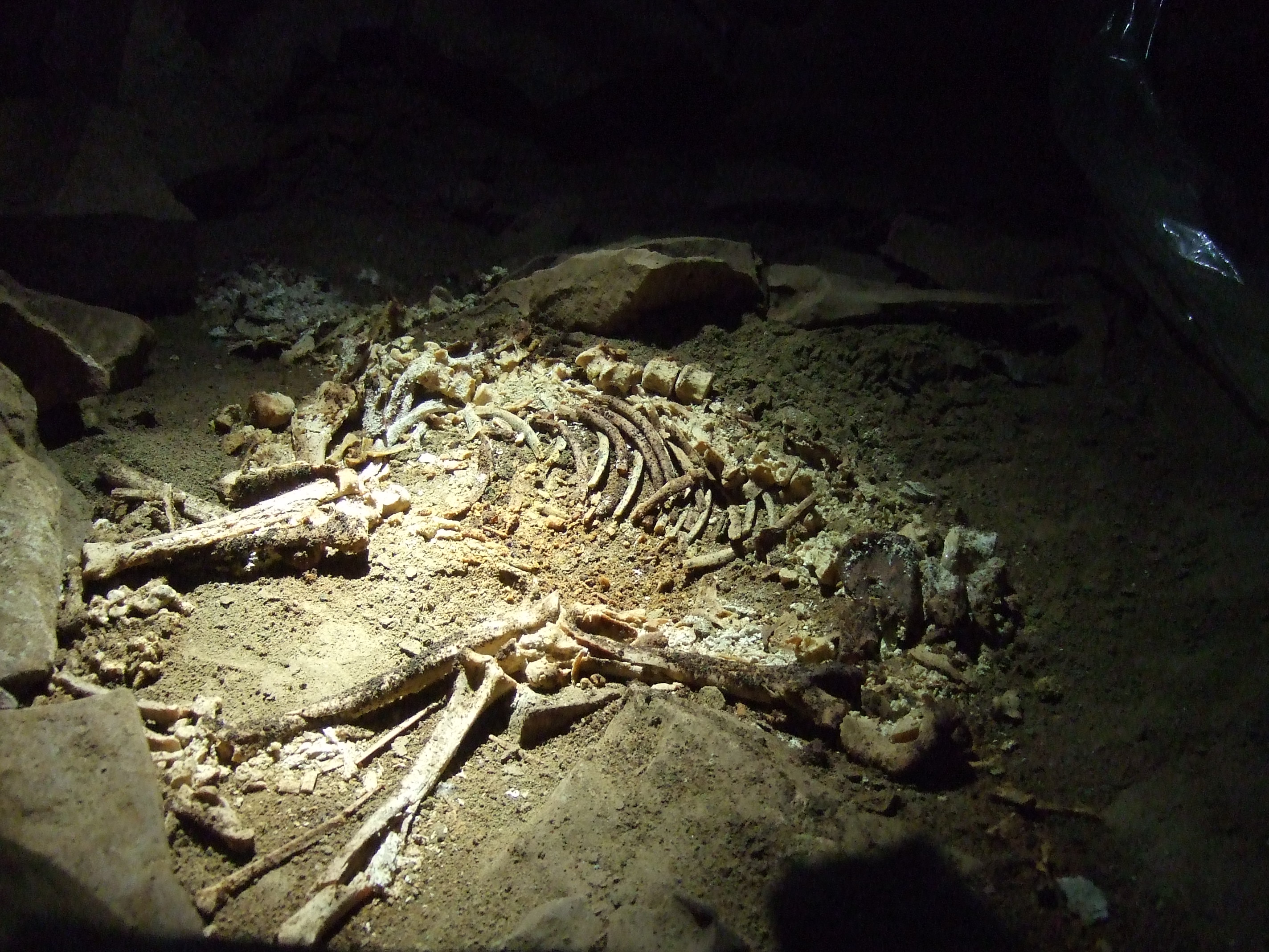
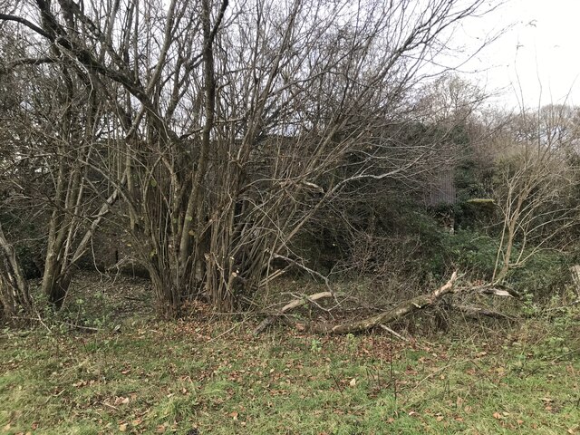
Slaughter Stream Cave
Slaughter Stream Cave, also known as Wet Sink, is a cave system in the Wye Valley, Forest of Dean. A series of fixed ladders and two pitches lead to sporting...
Wimberry Quarries
Wimberry Quarries (grid reference SO594121) is a 2-hectare (4.9-acre) nature reserve in Gloucestershire in the Forest of Dean.The site is held under agreement...

Edge End, Gloucestershire
Edge End is a small hamlet in west Gloucestershire, England. == Location and amenities == Edge End is about 1.5 miles NW of Coleford and about 1 mile north...
Broadwell, Forest of Dean
Broadwell is a village about 1 mile (1.6 km) east of Coleford, Gloucestershire, England. It is at the western edge of the Forest of Dean, in the civil...
Nearby Amenities
Located within 500m of 51.809052,-2.611347Have you been to Five Acres?
Leave your review of Five Acres below (or comments, questions and feedback).