Slough House Wood
Wood, Forest in Essex Chelmsford
England
Slough House Wood
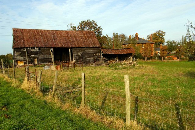
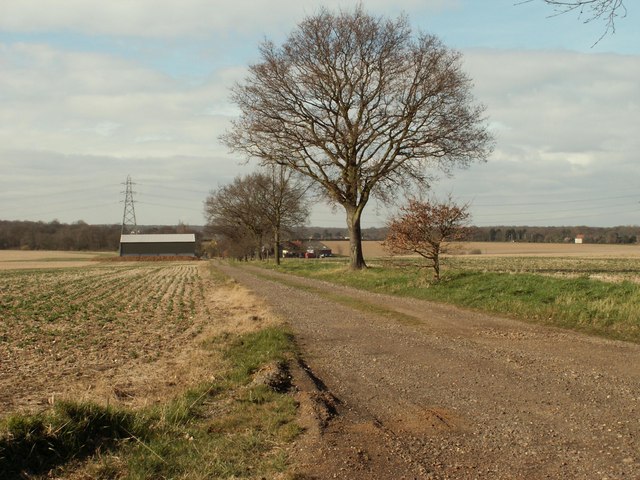
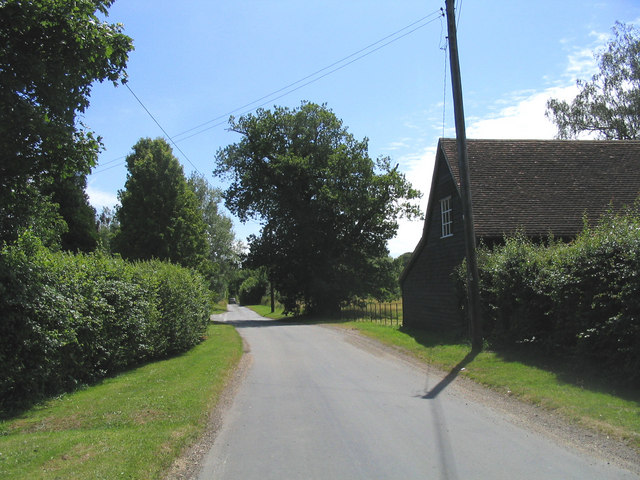
Slough House Wood is a captivating forest located in the county of Essex, England. Covering an area of approximately 100 hectares, it offers a serene and picturesque retreat for nature enthusiasts and outdoor lovers. The wood is situated near the village of Mountnessing, just a short distance from the bustling town of Brentwood.
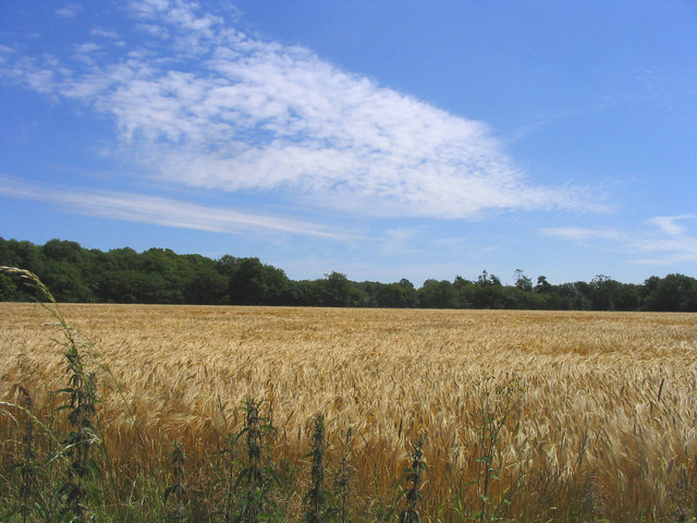
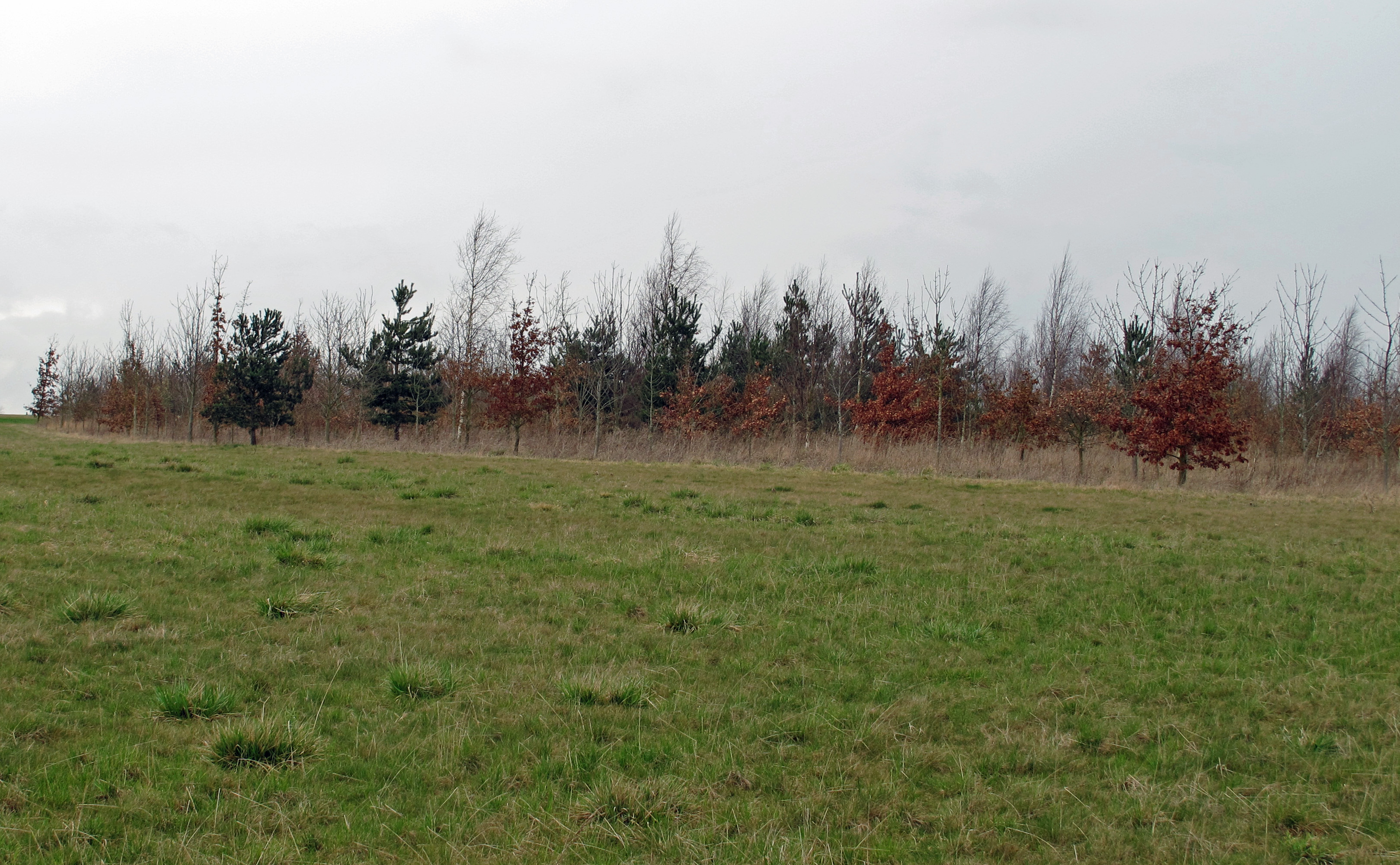
The woodland is predominantly composed of deciduous trees, encompassing a rich variety of species such as oak, beech, and birch. These trees create a dense canopy, providing a habitat for a diverse range of wildlife. Visitors to Slough House Wood may be fortunate enough to spot elusive creatures like deer, foxes, and various species of birds.
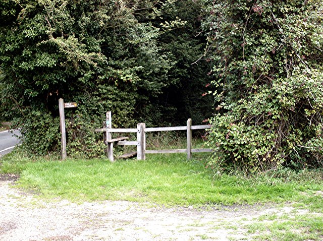
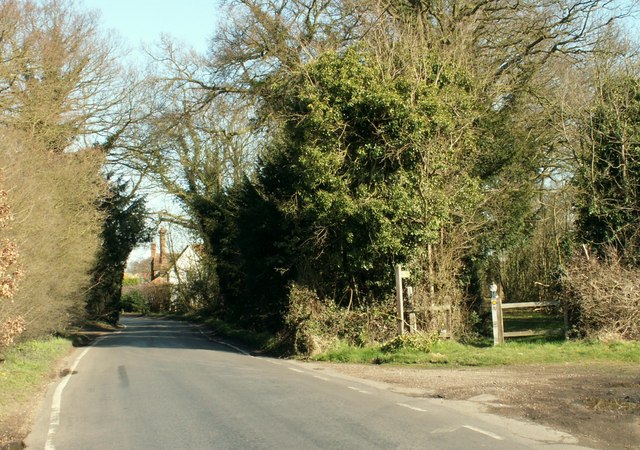
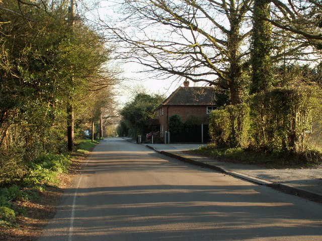
Walking through the wood, visitors are greeted by a network of well-maintained footpaths that wind their way through the enchanting scenery. The paths offer an opportunity to explore the wood at a leisurely pace, allowing visitors to immerse themselves in the tranquility of their surroundings.
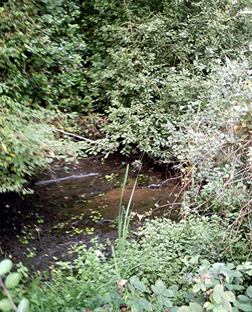
Slough House Wood is also home to a small stream and a pond, adding to its natural charm. These water features attract an array of aquatic wildlife, including frogs, newts, and dragonflies. The soothing sound of running water further enhances the peaceful atmosphere of the wood.
The wood is open to the public throughout the year, providing a perfect location for a family picnic, a peaceful walk, or a spot of birdwatching. Its proximity to urban areas makes it easily accessible, offering a natural haven just a stone's throw away from the hustle and bustle of city life.
If you have any feedback on the listing, please let us know in the comments section below.
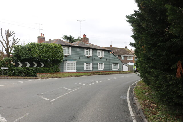
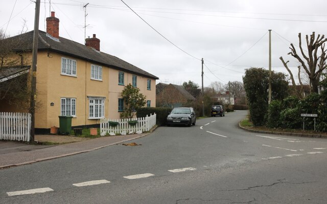
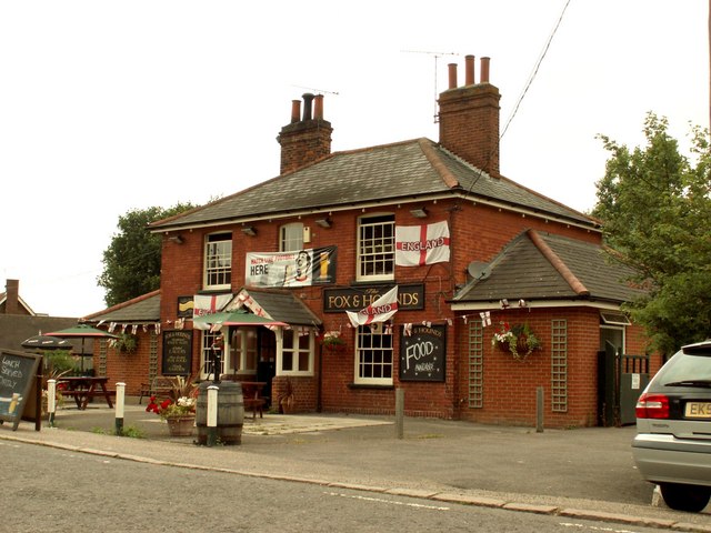
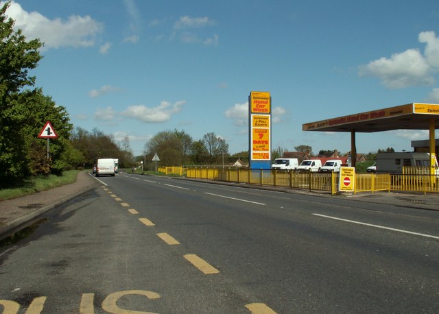
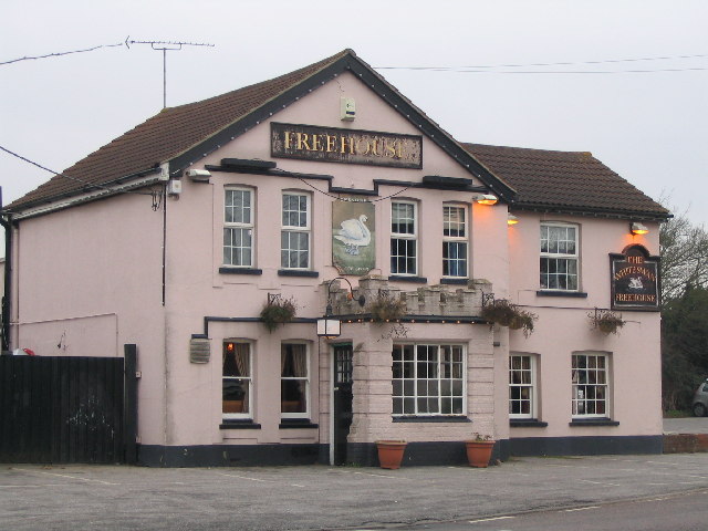
Slough House Wood Images
Images are sourced within 2km of 51.698946/0.60694655 or Grid Reference TL8003. Thanks to Geograph Open Source API. All images are credited.


Slough House Wood is located at Grid Ref: TL8003 (Lat: 51.698946, Lng: 0.60694655)
Administrative County: Essex
District: Chelmsford
Police Authority: Essex
What 3 Words
///hedgehog.driveways.contemplate. Near Bicknacre, Essex
Nearby Locations
Related Wikis

Bicknacre
Bicknacre is a village in the civil parish of Woodham Ferrers and Bicknacre, in the county of Essex, England. It is approximately 4.0 mi (6.5 km) north...

Woodham Mortimer
Woodham Mortimer is a village on the Dengie peninsula about three miles west-south-west of Maldon in the English county of Essex. The village is part of...
Hazeleigh
Hazeleigh is a village and civil parish on the Dengie peninsula in the English county of Essex. It lies 2.6 miles south-west of Maldon. == Hazeleigh... ==
Woodham Ferrers and Bicknacre
Woodham Ferrers and Bicknacre is a civil parish in the Chelmsford district in Essex, England. The parish includes the villages of Bicknacre and Woodham...

Danbury, Essex
Danbury is a village in the City of Chelmsford district, in the county of Essex, England. It is located 33.5 miles (53.9 km) northeast of Charing Cross...

Danbury Common
Danbury Common is a 70.2-hectare (173-acre) biological Site of Special Scientific Interest in Danbury in Essex, England. Most of it is common land owned...
Chelmsford Radio
Chelmsford Radio 107.7 was an Independent Local Radio station for Chelmsford and mid Essex, broadcasting from studios in Southend, and owned by the Adventure...

Danbury Ridge Nature Reserves
Danbury Ridge Nature Reserves are a group of nature reserves totalling 101 hectares near Danbury in Essex, England. They are managed by the Essex Wildlife...
Nearby Amenities
Located within 500m of 51.698946,0.60694655Have you been to Slough House Wood?
Leave your review of Slough House Wood below (or comments, questions and feedback).