Slough House
Heritage Site in Essex Chelmsford
England
Slough House
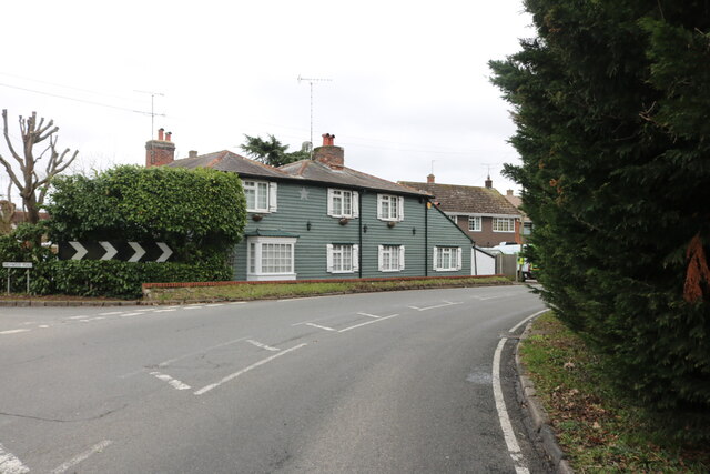
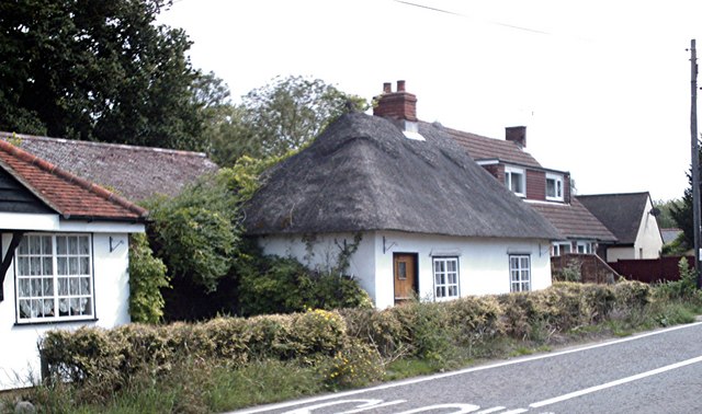
Slough House is a historic building located in the county of Essex, England. Situated on the outskirts of the town of Brentwood, this heritage site holds significant cultural and architectural importance. Dating back to the 16th century, Slough House is a prime example of Tudor-style architecture, with its distinctive timber-framed structure and iconic thatched roof.
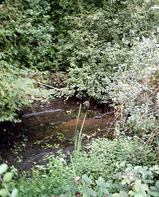
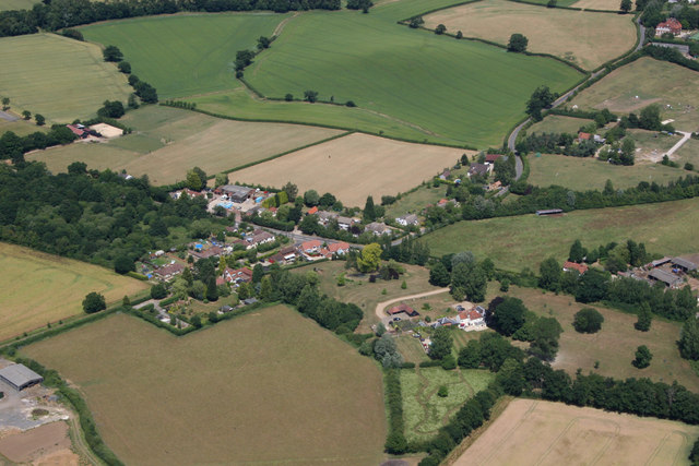
The house is set within a picturesque landscape, surrounded by lush green fields and a tranquil pond. It stands as a testament to the region's rich history, having witnessed centuries of local events and societal changes. Slough House has been carefully preserved, allowing visitors to step back in time and experience the ambiance of an era long gone.
The interior of Slough House showcases its historical significance, with original features such as exposed beams, intricate woodwork, and a charming inglenook fireplace. The rooms are furnished with period-appropriate pieces, providing visitors with a glimpse into the lives of those who once inhabited the house.
Aside from its architectural beauty, Slough House has also played a role in local folklore and legends. Tales of ghostly apparitions and mysterious occurrences have been associated with the house, adding an air of intrigue and fascination to its reputation.
Today, Slough House serves as a popular tourist destination, attracting history enthusiasts, architecture admirers, and those seeking a serene escape from the bustling city life. The site offers guided tours, educational programs, and occasional events that celebrate the heritage and cultural significance of the house and its surroundings.
If you have any feedback on the listing, please let us know in the comments section below.
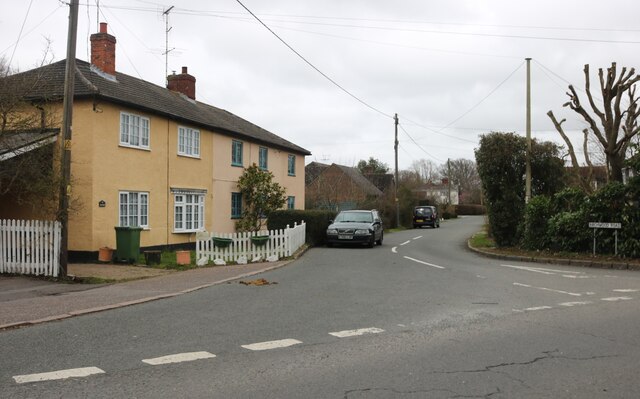
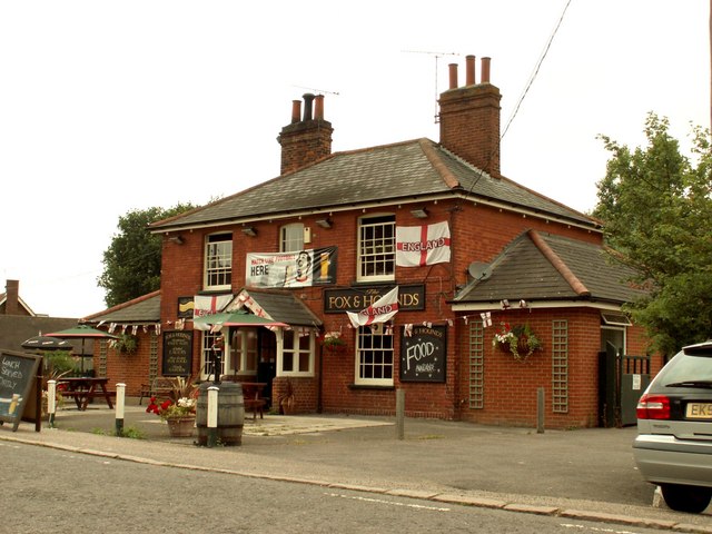
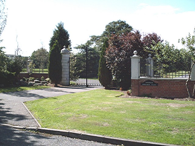
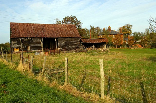
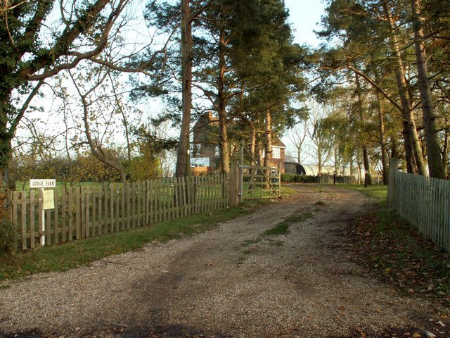
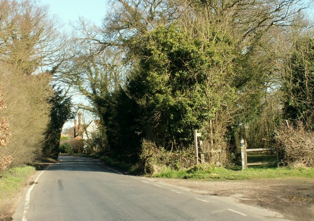
Slough House Images
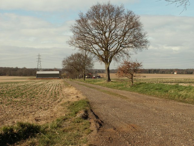
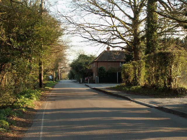
Images are sourced within 2km of 51.7/0.612 or Grid Reference TL8003. Thanks to Geograph Open Source API. All images are credited.
Slough House is located at Grid Ref: TL8003 (Lat: 51.7, Lng: 0.612)
Administrative County: Essex
District: Chelmsford
Police Authority: Essex
What 3 Words
///cure.pronouns.late. Near Bicknacre, Essex
Nearby Locations
Related Wikis

Woodham Mortimer
Woodham Mortimer is a village on the Dengie peninsula about three miles west-south-west of Maldon in the English county of Essex. The village is part of...
Hazeleigh
Hazeleigh is a village and civil parish on the Dengie peninsula in the English county of Essex. It lies 2.6 miles south-west of Maldon. == Hazeleigh... ==

Bicknacre
Bicknacre is a village in the civil parish of Woodham Ferrers and Bicknacre, in the county of Essex, England. It is approximately 4.0 mi (6.5 km) north...
Woodham Ferrers and Bicknacre
Woodham Ferrers and Bicknacre is a civil parish in the Chelmsford district in Essex, England. The parish includes the villages of Bicknacre and Woodham...

Danbury, Essex
Danbury is a village in the City of Chelmsford district, in the county of Essex, England. It is located 33.5 miles (53.9 km) northeast of Charing Cross...

Danbury Common
Danbury Common is a 70.2-hectare (173-acre) biological Site of Special Scientific Interest in Danbury in Essex, England. Most of it is common land owned...
Chelmsford Radio
Chelmsford Radio 107.7 was an Independent Local Radio station for Chelmsford and mid Essex, broadcasting from studios in Southend, and owned by the Adventure...

Danbury Ridge Nature Reserves
Danbury Ridge Nature Reserves are a group of nature reserves totalling 101 hectares near Danbury in Essex, England. They are managed by the Essex Wildlife...
Nearby Amenities
Located within 500m of 51.7,0.612Have you been to Slough House?
Leave your review of Slough House below (or comments, questions and feedback).