Dine's Wood

Wood, Forest in Sussex Rother

England

Dine's Wood

Radio Mast at Baldsow on the northern outskirts of Hastings Seen from Maplehurst Road
Radio Mast at Baldsow on the northern outskirts of Hastings Credit: Patrick Roper

Dine's Wood, located in Sussex, England, is a sprawling forest that covers an area of approximately 160 acres. Known for its natural beauty and rich biodiversity, this wood is a haven for nature enthusiasts and wildlife lovers alike. It is situated near the village of Ashdown Forest and is easily accessible to visitors from nearby towns and cities.

Dine's Wood is primarily composed of a mix of broadleaf trees, including oak, beech, and birch, which create a dense canopy that provides shade and shelter for the abundance of flora and fauna that call this woodland home. The forest floor is carpeted with an array of wildflowers, ferns, and mosses, creating a picturesque scene throughout the year.

The wood is crisscrossed by a network of well-maintained walking trails, allowing visitors to explore and appreciate the woodland's natural wonders. These trails meander through the trees, leading to hidden clearings and peaceful glades, where visitors can sit, relax, and soak in the tranquility of the surroundings.

Dine's Wood is also home to a diverse range of wildlife. Birdwatchers can spot various species of woodland birds, including woodpeckers, robins, and thrushes. Mammals such as deer, foxes, and badgers can be occasionally seen roaming through the undergrowth.

With its enchanting beauty and abundant wildlife, Dine's Wood offers a perfect escape from the hustle and bustle of everyday life. Whether it's a leisurely stroll, birdwatching, or simply reconnecting with nature, this woodland is a must-visit destination for nature enthusiasts seeking solace in the heart of Sussex.

If you have any feedback on the listing, please let us know in the comments section below.

Dine's Wood Images

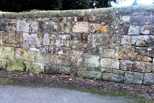
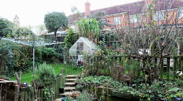
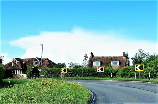
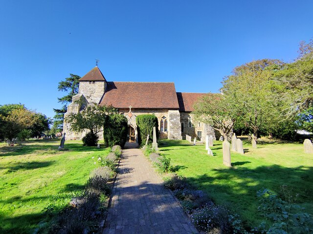
Images are sourced within 2km of 50.900024/0.56199982 or Grid Reference TQ8014. Thanks to Geograph Open Source API. All images are credited.

Radio Mast at Baldsow on the northern outskirts of Hastings Seen from Maplehurst Road
Radio Mast at Baldsow on the northern outskirts of Hastings
Seen from Maplehurst Road
Sandstone wall at Holmhurst St. Mary, Hastings This beautifully patterned old wall of mainly sandstone blocks is not only attractive in its own right, it provides a great habitat for many species of lichen and other smaller plants and their associated faunas.
Sandstone wall at Holmhurst St. Mary, Hastings
This beautifully patterned old wall of mainly sandstone blocks is not only attractive in its own right, it provides a great habitat for many species of lichen and other smaller plants and their associated faunas.
Gated community of houses and flats, Holmhurst St Mary, Hastings These Grade II listed buildings were started in the late 18th century but have been much altered and added to since then.  It has been a school and a convent but is now (2021) private housing.
Gated community of houses and flats, Holmhurst St Mary, Hastings
These Grade II listed buildings were started in the late 18th century but have been much altered and added to since then. It has been a school and a convent but is now (2021) private housing.
Private houses at Holmhurts St Mary, Hastings These houses are in a gated community on the south side of The Ridge.
Private houses at Holmhurts St Mary, Hastings
These houses are in a gated community on the south side of The Ridge.
Rear garden in Holmhurst St. Mary, Hastings The houses in the background are in Francis Bird Place.
Rear garden in Holmhurst St. Mary, Hastings
The houses in the background are in Francis Bird Place.
Houses at Holmhurst St. Mary, Hastings Building at Holmhurst St. Mary started in the late 18th century and the area is currently a gated estate of private housing.  It is Grade II listed.
Houses at Holmhurst St. Mary, Hastings
Building at Holmhurst St. Mary started in the late 18th century and the area is currently a gated estate of private housing. It is Grade II listed.
Setting down point at The Conquest Hospital, Hastings
Closing time at the Plough The pub and car park are fenced off. Has the pub served  last orders? Or will another brewer come to the rescue?
Closing time at the Plough
The pub and car park are fenced off. Has the pub served last orders? Or will another brewer come to the rescue?
Stone ornament at Holmhurst St Mary, The Ridge, Hasings Holmhurst St Mary is now a private housing development and this structure is part of the former building mostly designed by Thomas Hare in the 19th century.  The stone ornament once stood above the Ave-Vale gate and was copied from a similar structure at Stibbington Hall in Huntingdonshire.
Stone ornament at Holmhurst St Mary, The Ridge, Hasings
Holmhurst St Mary is now a private housing development and this structure is part of the former building mostly designed by Thomas Hare in the 19th century. The stone ornament once stood above the Ave-Vale gate and was copied from a similar structure at Stibbington Hall in Huntingdonshire.
Road works in Westfield Lane north of Maplehurst Wood
Kirklands (right) and Cherrydown, Westfield village These two houses at the southern end of Westfield village overlook the junction of Westfield Lane (A28) and Church Lane
Kirklands (right) and Cherrydown, Westfield village
These two houses at the southern end of Westfield village overlook the junction of Westfield Lane (A28) and Church Lane
Rear of Geary Place retirement home, Westfield Geary Place consists of 18 flats, built in 1976.  It is seen here from Moor Lane, Westfield.
Rear of Geary Place retirement home, Westfield
Geary Place consists of 18 flats, built in 1976. It is seen here from Moor Lane, Westfield.
In Westfield village looking north The road on the left is Moor Lane.  The road on the right has several names according to which map one consults: Workhouse Lane, South Terrace, South Road, Moor Road.  The bay window in the centre of the picture is part of Geary Place retirement home and this gives its address as Workhouse Lane.
In Westfield village looking north
The road on the left is Moor Lane. The road on the right has several names according to which map one consults: Workhouse Lane, South Terrace, South Road, Moor Road. The bay window in the centre of the picture is part of Geary Place retirement home and this gives its address as Workhouse Lane.
St John the Baptist Church, Westfield
Warehouses north of The Ridge, Hastings
The New Inn, Westfield This is one of the oldest buildings in Westfield village and was, for a while, known as the Old Courthouse.
The New Inn, Westfield
This is one of the oldest buildings in Westfield village and was, for a while, known as the Old Courthouse.
Baldslow trig In playing fields and close to touchlines.
Baldslow trig
In playing fields and close to touchlines.
Conquest Hospital St Leonards East Sussex Main entrance to the Conquest Hospital on The Ridge St Leonards.The Conquest is a modern district hospital built on a gentle sloping site with 4 levels. Most of the wards look out on to a lagoon, with panoramic views over the historic town of Hastings and the English channel.
Conquest Hospital St Leonards East Sussex
Main entrance to the Conquest Hospital on The Ridge St Leonards.The Conquest is a modern district hospital built on a gentle sloping site with 4 levels. Most of the wards look out on to a lagoon, with panoramic views over the historic town of Hastings and the English channel.
Show me another place!

Dine's Wood is located at Grid Ref: TQ8014 (Lat: 50.900024, Lng: 0.56199982)

Administrative County: East Sussex

District: Rother

Police Authority: Sussex

What 3 Words

///cities.dishes.region. Near Hastings, East Sussex

Nearby Locations

Whiteland Wood Dine's Wood

Related Wikis

Baldslow

Baldslow is a suburb in the north of Hastings, East Sussex, England. It is sometimes considered part of Conquest as Bohemia and Silverhill. The area lies...

Maplehurst Wood

Maplehurst Wood is a 31.6-hectare (78-acre) biological Site of Special Scientific Interest on the northern outskirts of Hastings in East Sussex. This wood...

Ark Helenswood Academy

Ark Helenswood Academy (formerly Hastings High School for Girls and then Helenswood School) was a secondary school and sixth form for girls located in...

Beauport Park

Beauport Park is a house near Hastings, East Sussex, England. It is located at the western end of the ridge of hills sheltering Hastings from the north...

Nearby Amenities

Located within 500m of 50.900024,0.56199982
Power: tower
Lat/Long: 50.8966799/0.5590345
Power: tower
Lat/Long: 50.8990316/0.5619558
Power: tower
Lat/Long: 50.8988994/0.5664417
Turning Circle
Lat/Long: 50.8979676/0.5629088
Turning Circle
Lat/Long: 50.8977083/0.5636819
The data included in this document is from www.openstreetmap.org. The data is made available under ODbL.

Have you been to Dine's Wood?

Leave your review of Dine's Wood below (or comments, questions and feedback).