Eagle Belt
Wood, Forest in Suffolk West Suffolk
England
Eagle Belt
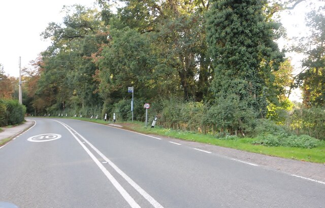
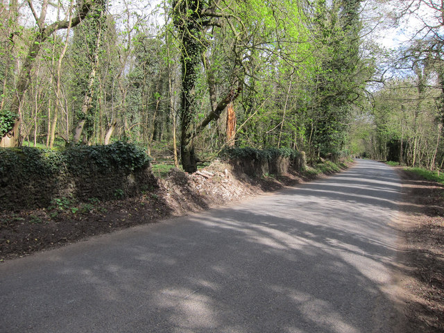
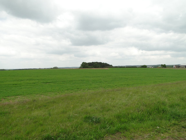
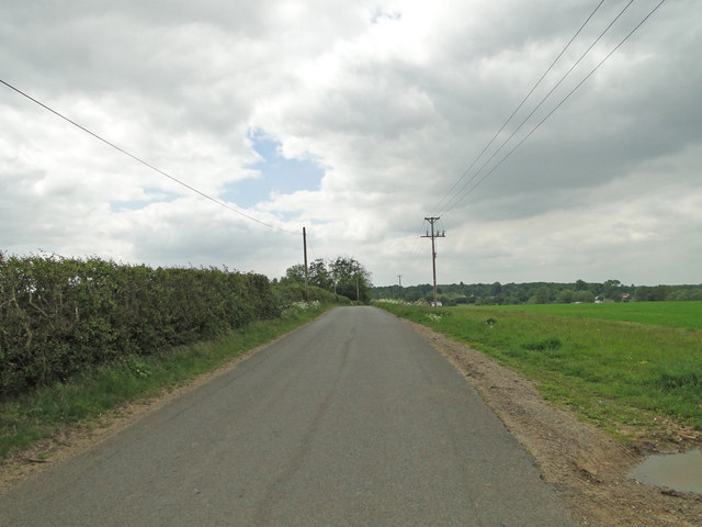
Eagle Belt, Suffolk (Wood, Forest) is a small village located in the Suffolk county of England. Nestled amidst the picturesque countryside, the village is known for its lush greenery and serene environment. It is situated in a wooded area, surrounded by dense forests, making it an ideal location for nature lovers and outdoor enthusiasts.
The village is home to a close-knit community, with a population of approximately 500 residents. The residents of Eagle Belt are known for their friendly and welcoming nature, creating a warm and inviting atmosphere for visitors.
Eagle Belt offers a range of recreational activities for both locals and tourists. The surrounding forests provide ample opportunities for hiking, cycling, and nature walks. The village is also in close proximity to several nature reserves, allowing visitors to explore the diverse flora and fauna of the region.
In terms of amenities, Eagle Belt boasts a few local shops and a traditional village pub, which serves as a hub for social gatherings and community events. The village also has a primary school, providing education for the local children.
Although Eagle Belt may be a small village, its idyllic setting and community spirit make it a desirable place to live or visit. Whether one seeks tranquility or outdoor adventures, Eagle Belt, Suffolk (Wood, Forest) offers a peaceful retreat amidst nature's beauty.
If you have any feedback on the listing, please let us know in the comments section below.
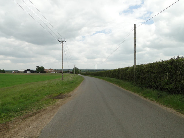
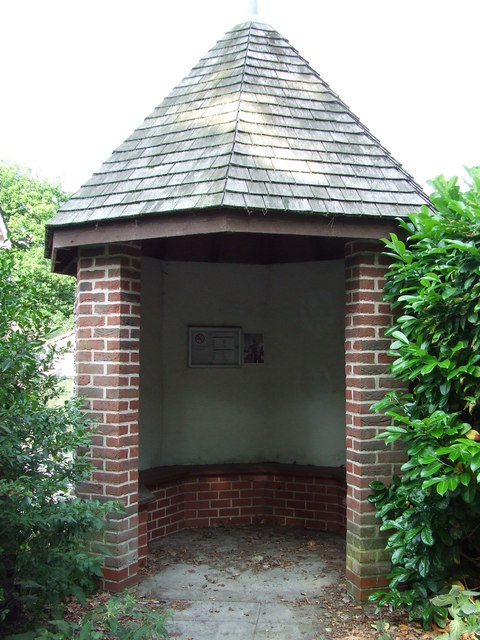
Eagle Belt Images
Images are sourced within 2km of 52.29056/0.60759074 or Grid Reference TL7769. Thanks to Geograph Open Source API. All images are credited.


Eagle Belt is located at Grid Ref: TL7769 (Lat: 52.29056, Lng: 0.60759074)
Administrative County: Suffolk
District: West Suffolk
Police Authority: Suffolk
What 3 Words
///consonant.watchdogs.booklets. Near Bury St Edmunds, Suffolk
Nearby Locations
Related Wikis

Black Ditches, Cavenham
Black Ditches is an earthwork close to the village of Cavenham of Suffolk, and part of it is a biological Site of Special Scientific Interest (SSSI). The...

Lackford
Lackford is a village and civil parish in the West Suffolk district of Suffolk in eastern England. Located around four miles north-west of Bury St Edmunds...

Cavenham
Cavenham is a village and civil parish in Suffolk, England, 10 kilometres (6 mi) northwest of Bury St Edmunds. It is in the local government district of...

Lackford Lakes
Lackford Lakes is a 105.8-hectare (261-acre) biological Site of Special Scientific Interest (SSSI) north and east of Lackford in Suffolk. The SSSI is part...

Icklingham
Icklingham is a village and civil parish in the West Suffolk district of Suffolk in eastern England. It is located about 7 miles (11 km) north-west of...

West Stow Heath
West Stow Heath is a 44.3-hectare (109-acre) biological Site of Special Scientific Interest west of West Stow in Suffolk. It is part of the Breckland Special...

Old Broom
Old Broom is a 6.5-hectare (16-acre) nature reserve north of Risby in Suffolk. It is managed by the Suffolk Wildlife Trust.This is a remnant of an ancient...

West Stow Anglo-Saxon Village
West Stow Anglo-Saxon Village is an archaeological site and an open-air museum located near to West Stow in Suffolk, eastern England. Evidence for intermittent...
Nearby Amenities
Located within 500m of 52.29056,0.60759074Have you been to Eagle Belt?
Leave your review of Eagle Belt below (or comments, questions and feedback).