Chalkpit Plantation
Wood, Forest in Suffolk West Suffolk
England
Chalkpit Plantation

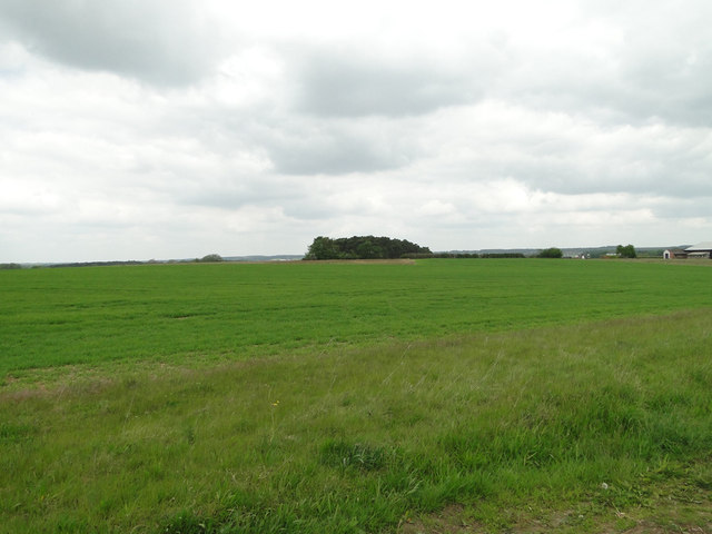
Chalkpit Plantation is a picturesque woodland located in Suffolk, England. Situated near the village of Bury St Edmunds, this plantation is known for its enchanting beauty and rich biodiversity. The woodland spans over a vast area, covering approximately 50 hectares.
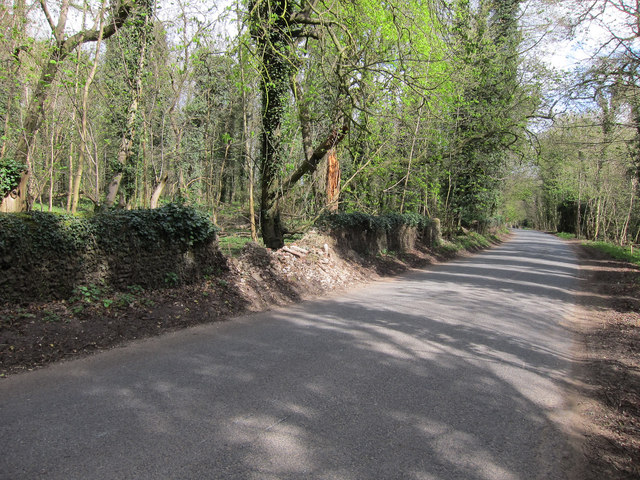
The plantation is predominantly composed of a diverse range of trees, including oak, beech, birch, and pine. These trees create a dense canopy, providing shade and shelter for various wildlife species. The forest floor is covered with a thick layer of leaf litter, creating a habitat for small mammals, insects, and fungi.
Chalkpit Plantation is popular among nature enthusiasts, hikers, and photographers who are drawn to its tranquil ambiance and scenic landscapes. There are several well-maintained footpaths that wind through the woodland, allowing visitors to explore its hidden treasures. Along these trails, one can spot a variety of bird species, such as woodpeckers, jays, and warblers.
The plantation also boasts a small pond that attracts amphibians and waterfowl, adding to the diversity of the ecosystem. In the spring, the woodland comes alive with vibrant wildflowers, creating a colorful tapestry that delights the senses.
Managed by local authorities, Chalkpit Plantation is not only a natural haven but also serves as an important educational resource. Regular guided tours and educational programs are organized to raise awareness about the importance of conserving and protecting the local environment.
Overall, Chalkpit Plantation offers a peaceful retreat where visitors can immerse themselves in the beauty of nature and experience the wonders of a diverse woodland ecosystem.
If you have any feedback on the listing, please let us know in the comments section below.
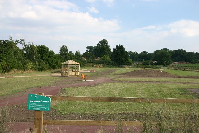
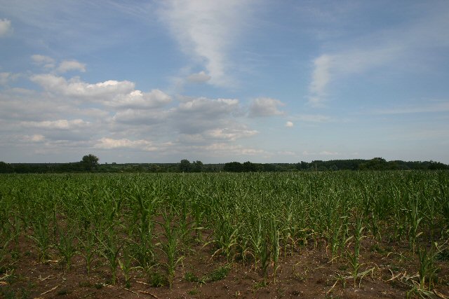
Chalkpit Plantation Images
Images are sourced within 2km of 52.297309/0.59431747 or Grid Reference TL7769. Thanks to Geograph Open Source API. All images are credited.


Chalkpit Plantation is located at Grid Ref: TL7769 (Lat: 52.297309, Lng: 0.59431747)
Administrative County: Suffolk
District: West Suffolk
Police Authority: Suffolk
What 3 Words
///ferrying.masters.sweat. Near Mildenhall, Suffolk
Nearby Locations
Related Wikis

Cavenham
Cavenham is a village and civil parish in Suffolk, England, 10 kilometres (6 mi) northwest of Bury St Edmunds. It is in the local government district of...

Black Ditches, Cavenham
Black Ditches is an earthwork close to the village of Cavenham of Suffolk, and part of it is a biological Site of Special Scientific Interest (SSSI). The...

Icklingham
Icklingham is a village and civil parish in the West Suffolk district of Suffolk in eastern England. It is located about 7 miles (11 km) north-west of...

RAF Tuddenham
Royal Air Force Tuddenham or RAF Tuddenham is a former Royal Air Force station located 3.2 miles (5.1 km) south east of Mildenhall, Suffolk, England and...

Lackford
Lackford is a village and civil parish in the West Suffolk district of Suffolk in eastern England. Located around four miles north-west of Bury St Edmunds...

West Stow Heath
West Stow Heath is a 44.3-hectare (109-acre) biological Site of Special Scientific Interest west of West Stow in Suffolk. It is part of the Breckland Special...
All Saints' Church, Icklingham
All Saints' Church is a redundant Anglican church in the village of Icklingham, Suffolk, England. It is recorded in the National Heritage List for England...

Lackford Lakes
Lackford Lakes is a 105.8-hectare (261-acre) biological Site of Special Scientific Interest (SSSI) north and east of Lackford in Suffolk. The SSSI is part...
Nearby Amenities
Located within 500m of 52.297309,0.59431747Have you been to Chalkpit Plantation?
Leave your review of Chalkpit Plantation below (or comments, questions and feedback).