Bradmere Plantation
Wood, Forest in Norfolk King's Lynn and West Norfolk
England
Bradmere Plantation
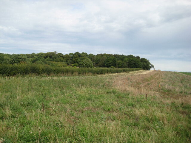
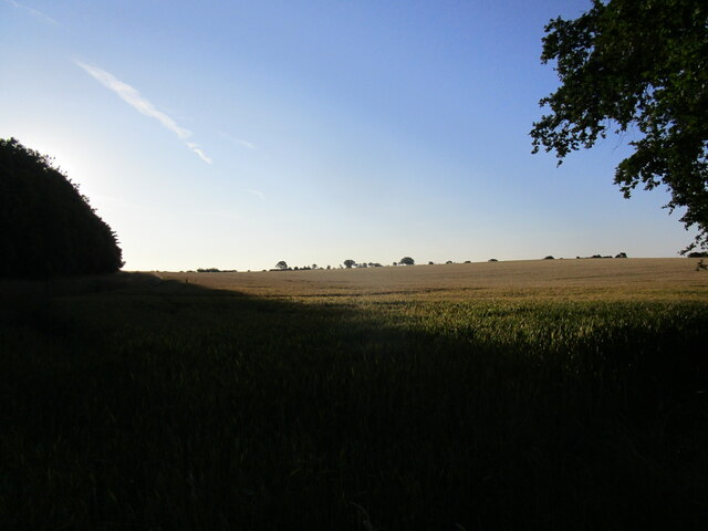
Bradmere Plantation, Norfolk, is a picturesque woodland located in the county of Norfolk, England. With its lush greenery, diverse flora and fauna, and serene atmosphere, it has become a popular destination for nature enthusiasts and those seeking tranquility.
Covering an area of approximately 100 acres, Bradmere Plantation is home to a vast array of trees, including oak, beech, and pine. These majestic trees provide ample shade and create a stunning canopy that adds to the ethereal beauty of the plantation. The forest floor is adorned with a carpet of wildflowers, ferns, and moss, adding vibrant colors to the landscape.
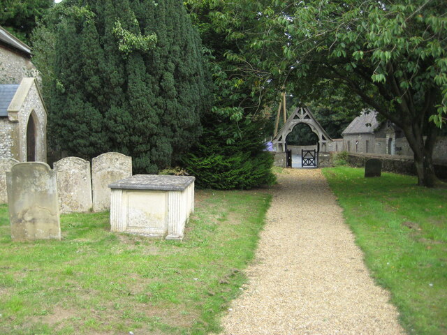
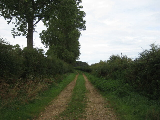
The plantation boasts several walking trails, allowing visitors to explore the area at their own pace and immerse themselves in the natural surroundings. Along these trails, one may encounter various wildlife species, such as deer, rabbits, and a variety of birds, making it a perfect spot for birdwatching enthusiasts.
In addition to its natural beauty, Bradmere Plantation offers recreational facilities for visitors. There are picnic areas scattered throughout the plantation, providing visitors with an opportunity to relax and enjoy a meal amidst the serene setting. Moreover, the plantation features a small pond where visitors can indulge in fishing or simply enjoy the peaceful ambiance.
Overall, Bradmere Plantation, Norfolk, is a haven for nature lovers and a place where one can escape the hustle and bustle of everyday life. Its breathtaking beauty, diverse wildlife, and recreational amenities make it a must-visit destination for anyone seeking solace in the heart of nature.
If you have any feedback on the listing, please let us know in the comments section below.
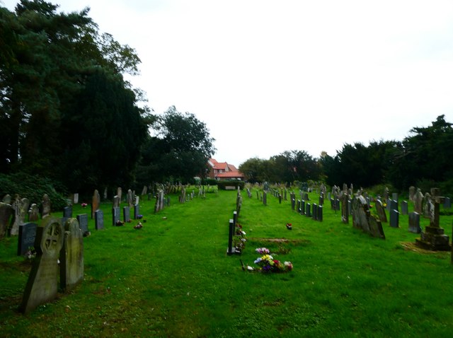
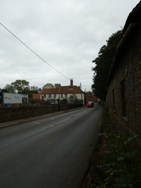
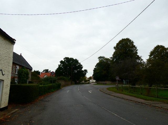
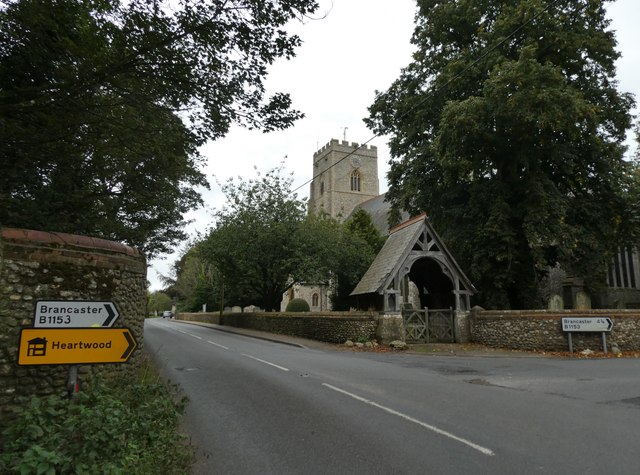
Bradmere Plantation Images
Images are sourced within 2km of 52.903189/0.63047041 or Grid Reference TF7737. Thanks to Geograph Open Source API. All images are credited.


Bradmere Plantation is located at Grid Ref: TF7737 (Lat: 52.903189, Lng: 0.63047041)
Administrative County: Norfolk
District: King's Lynn and West Norfolk
Police Authority: Norfolk
What 3 Words
///panning.whisk.hails. Near Snettisham, Norfolk
Nearby Locations
Related Wikis

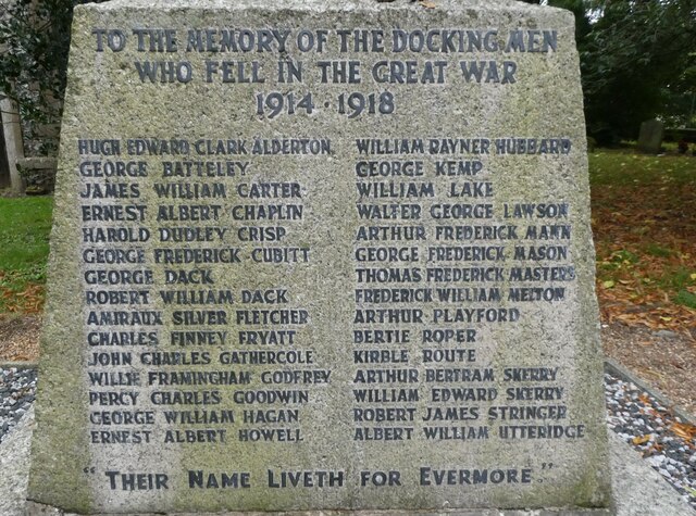
Docking, Norfolk
Docking is a village and ancient civil parish in the north-west of the English county of Norfolk. It is near the North Norfolk Coast Site of Special Scientific...

Docking railway station
Docking railway station was a station in Norfolk, serving the village of Docking. It closed to passengers in 1952. == References ==

RAF Docking
Royal Air Force Docking or more simply RAF Docking is a former Royal Air Force satellite station a few miles from Bircham Newton in Norfolk, England....

Stanhoe
Stanhoe is a village and civil parish in the English county of Norfolk, 6.4 miles (10.2 km) from the North Sea. It covers an area of 6.06 km2 (2.34 sq...

Stanhoe railway station
Stanhoe was a railway station which served the village of Stanhoe in Norfolk, England. Opened by the West Norfolk Junction Railway in 1866, it closed to...
RAF Bircham Newton
Royal Air Force Bircham Newton or more simply RAF Bircham Newton is a former Royal Air Force station located 2.1 miles (3.4 km) south east of Docking,...

Bircham Newton
Bircham Newton is the smallest of the three villages that make up the civil parish of Bircham, in the west of the English county of Norfolk. The village...
Barwick, Norfolk
Barwick is a scattered hamlet and civil parish in the north-west part of the English county of Norfolk. It is situated adjacent to the slightly larger...
Nearby Amenities
Located within 500m of 52.903189,0.63047041Have you been to Bradmere Plantation?
Leave your review of Bradmere Plantation below (or comments, questions and feedback).