East Wood
Wood, Forest in Norfolk King's Lynn and West Norfolk
England
East Wood
East Wood is a small village located in the county of Norfolk, England. Situated within the Norfolk Broads, it is surrounded by lush greenery and natural beauty. The village is known for its dense woodland and picturesque scenery, making it a popular destination for nature lovers and outdoor enthusiasts.
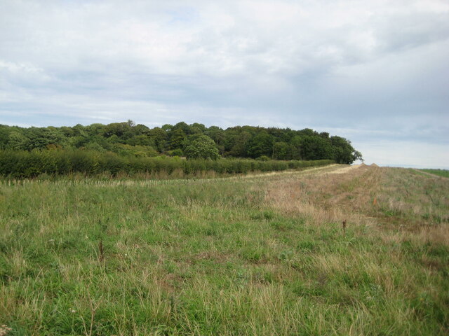
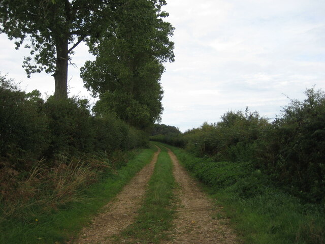
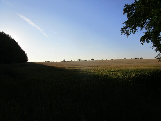
The woodland in East Wood is home to a variety of flora and fauna, including ancient oak trees, wildflowers, and a diverse range of bird species. The forest floor is covered in a carpet of moss and fallen leaves, creating a tranquil and peaceful atmosphere. The wood is crisscrossed with a network of walking trails, allowing visitors to explore the area and immerse themselves in the natural surroundings.
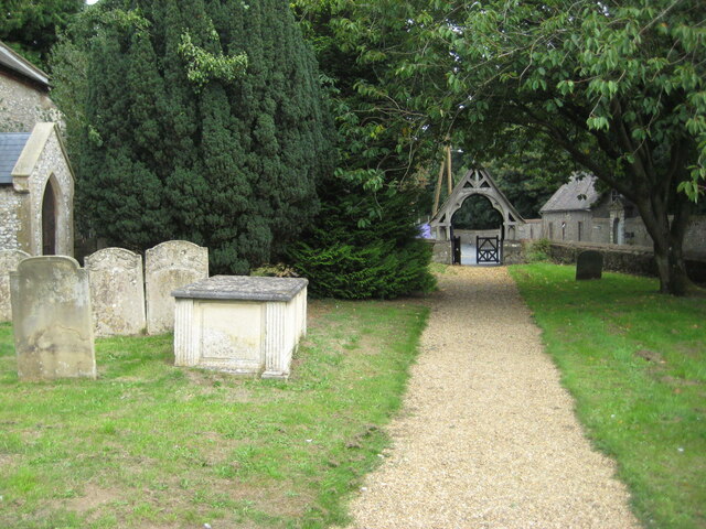
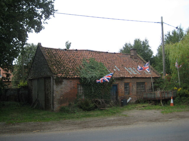
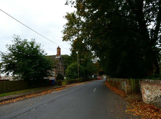
The village itself is quaint and charming, with traditional cottages and a sense of community. It has a small population, primarily made up of locals who have lived in the area for generations. There are a few amenities in the village, such as a local pub and a village hall, which serves as a gathering place for social events and community activities.
East Wood is also well-connected to nearby towns and cities, with good transport links. It is within easy reach of Norwich, the county town of Norfolk, which offers a wider range of amenities and attractions.
Overall, East Wood offers a peaceful retreat in the heart of the Norfolk countryside, with its beautiful woodland and close-knit community. It is a place where visitors can escape the hustle and bustle of city life and reconnect with nature.
If you have any feedback on the listing, please let us know in the comments section below.
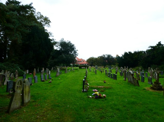
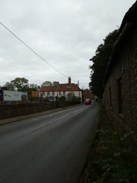
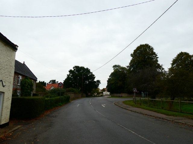
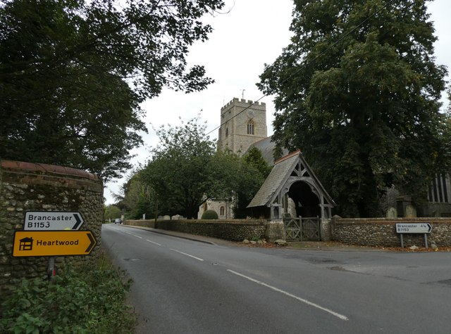
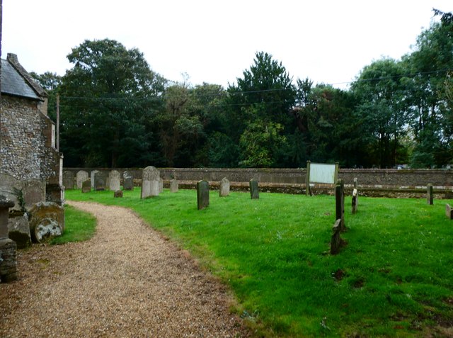
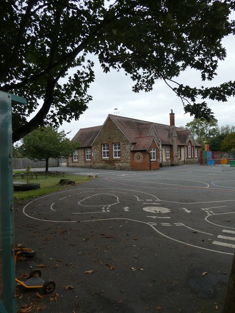
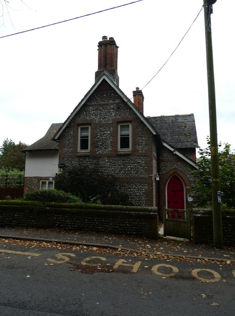
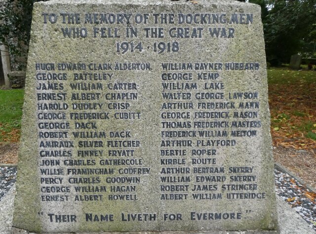
East Wood Images
Images are sourced within 2km of 52.904855/0.6384981 or Grid Reference TF7737. Thanks to Geograph Open Source API. All images are credited.


East Wood is located at Grid Ref: TF7737 (Lat: 52.904855, Lng: 0.6384981)
Administrative County: Norfolk
District: King's Lynn and West Norfolk
Police Authority: Norfolk
What 3 Words
///crisps.hinted.insurance. Near Snettisham, Norfolk
Nearby Locations
Related Wikis

Docking railway station
Docking railway station was a station in Norfolk, serving the village of Docking. It closed to passengers in 1952. == References ==

Docking, Norfolk
Docking is a village and ancient civil parish in the north-west of the English county of Norfolk. It is near the North Norfolk Coast Site of Special Scientific...

RAF Docking
Royal Air Force Docking or more simply RAF Docking is a former Royal Air Force satellite station a few miles from Bircham Newton in Norfolk, England....

Stanhoe
Stanhoe is a village and civil parish in the English county of Norfolk, 6.4 miles (10.2 km) from the North Sea. It covers an area of 6.06 km2 (2.34 sq...

Stanhoe railway station
Stanhoe was a railway station which served the village of Stanhoe in Norfolk, England. Opened by the West Norfolk Junction Railway in 1866, it closed to...
RAF Bircham Newton
Royal Air Force Bircham Newton or more simply RAF Bircham Newton is a former Royal Air Force station located 2.1 miles (3.4 km) south east of Docking,...
Barwick, Norfolk
Barwick is a scattered hamlet and civil parish in the north-west part of the English county of Norfolk. It is situated adjacent to the slightly larger...

Bircham Newton
Bircham Newton is the smallest of the three villages that make up the civil parish of Bircham, in the west of the English county of Norfolk. The village...
Have you been to East Wood?
Leave your review of East Wood below (or comments, questions and feedback).