Gibson's Plantation

Wood, Forest in Suffolk West Suffolk

England

Gibson's Plantation

Layby on the A11 west of Elveden
Layby on the A11 west of Elveden Credit: Helen Steed

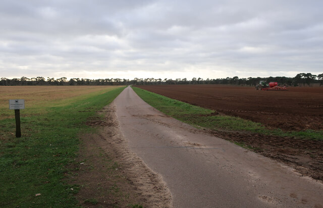
Gibson's Plantation is a lush woodland located in Suffolk, England. Spanning across a vast area, this plantation is widely known for its rich biodiversity and captivating natural beauty. The plantation primarily consists of dense forests, making it an ideal destination for nature enthusiasts and hikers alike.

The woodland is predominantly covered with a variety of tree species, including oak, beech, and pine, creating a mesmerizing and serene environment. These trees provide a habitat for a diverse range of wildlife, including various bird species, deer, and small mammals. Birdwatchers can spot species such as woodpeckers, owls, and finches nestled among the branches.

Gibson's Plantation offers several well-maintained trails, allowing visitors to explore the area on foot. The trails wind through the plantation's enchanting forest, offering breathtaking views of towering trees and vibrant flora. Along the way, hikers may encounter picturesque streams and small ponds, adding to the scenic charm of the plantation.

In addition to its natural beauty, Gibson's Plantation holds historical significance. The land was once a part of a sprawling estate and has been preserved over the years due to its ecological importance. The plantation serves as a reminder of the region's rich heritage and the importance of conservation efforts.

Overall, Gibson's Plantation in Suffolk offers a captivating and tranquil experience for nature lovers and history enthusiasts alike. The diverse wildlife, stunning landscapes, and historical significance make it a must-visit destination for anyone seeking a peaceful retreat in the heart of nature.

If you have any feedback on the listing, please let us know in the comments section below.

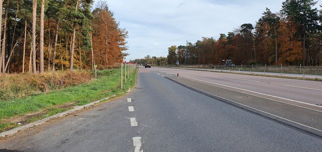
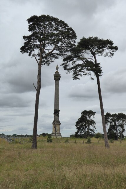
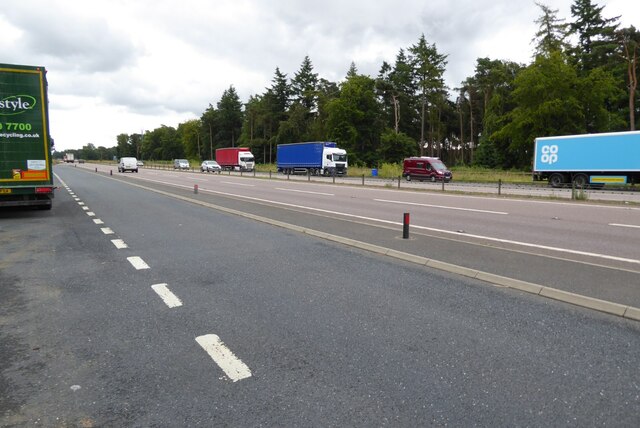
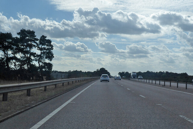
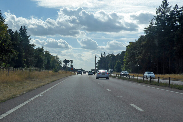
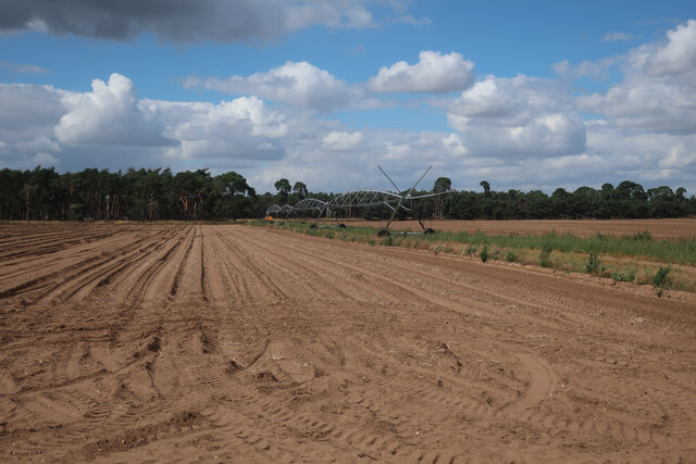
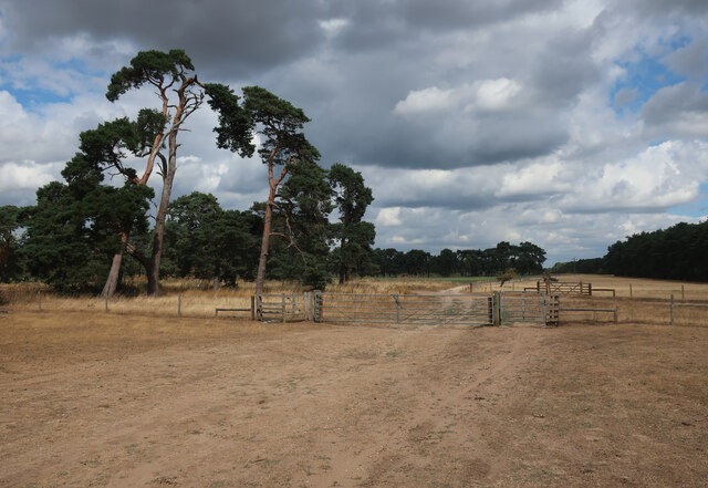
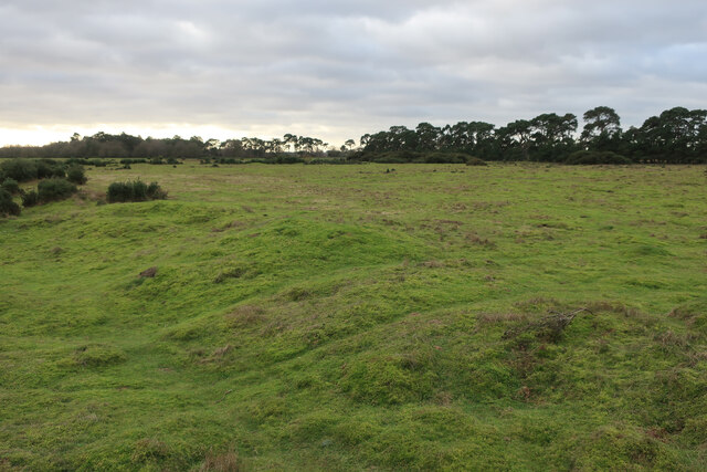
Gibson's Plantation Images

Images are sourced within 2km of 52.362867/0.61173039 or Grid Reference TL7777. Thanks to Geograph Open Source API. All images are credited.

Layby on the A11 west of Elveden
Elveden War Memorial Driving along the A11 as I approached this column I had to stop and have a closer look.  My first though was it was a monument on an estate in memory of an eminent local landowner, but no it is a war memorial erected in 1921.  Surely it will be difficult to find another as impressive as this.  The monument was designed by Clyde Francis Young, and is Grade II* listed, see: <span class="nowrap"><a title="https://historicengland.org.uk/listing/the-list/list-entry/1037610?section=official-list-entry" rel="nofollow ugc noopener" href="https://historicengland.org.uk/listing/the-list/list-entry/1037610?section=official-list-entry">Link</a><img style="margin-left:2px;" alt="External link" title="External link - shift click to open in new window" src="https://s1.geograph.org.uk/img/external.png" width="10" height="10"/></span>
Elveden War Memorial
Driving along the A11 as I approached this column I had to stop and have a closer look. My first though was it was a monument on an estate in memory of an eminent local landowner, but no it is a war memorial erected in 1921. Surely it will be difficult to find another as impressive as this. The monument was designed by Clyde Francis Young, and is Grade II* listed, see: LinkExternal link
The A11 near Elveden War Memorial
A11 towards London But no longer a continuous route with that number. Taking the A14 around Newmarket is the first interruption.
A11 towards London
But no longer a continuous route with that number. Taking the A14 around Newmarket is the first interruption.
A11 towards London But no longer a continuous route with that number. Taking the A14 around Newmarket is the first interruption.
A11 towards London
But no longer a continuous route with that number. Taking the A14 around Newmarket is the first interruption.
A11 towards London But no longer a continuous route with that number. Taking the A14 around Newmarket is the first interruption.
A11 towards London
But no longer a continuous route with that number. Taking the A14 around Newmarket is the first interruption.
Irrigation boom by Seven Tree Road
Seven Tree Road Byway leaving Deadman's Grave.
Seven Tree Road
Byway leaving Deadman's Grave.
Realigned bridleway The path has been shifted east to link to an underpass to cross the A11 after it has been widened.
Realigned bridleway
The path has been shifted east to link to an underpass to cross the A11 after it has been widened.
Farm track by Partition Belt
Weather Heath
Weather Heath
Weather Heath Looking towards Elveden War Memorial.
Weather Heath
Looking towards Elveden War Memorial.
Weather Heath
Weather Heath
Shakers Road No longer a bridleway as that has been diverted to an underpass below the dualled A11.
Shakers Road
No longer a bridleway as that has been diverted to an underpass below the dualled A11.
Bridleway around Weather Heath A diverted route to meet the A11 at the new underpass.
Bridleway around Weather Heath
A diverted route to meet the A11 at the new underpass.
Bridleway along farm road
Show me another place!

Gibson's Plantation is located at Grid Ref: TL7777 (Lat: 52.362867, Lng: 0.61173039)

Administrative County: Suffolk

District: West Suffolk

Police Authority: Suffolk

What 3 Words

///nuns.much.fuzz. Near Mildenhall, Suffolk

Nearby Locations

Gibson's Plantation

Related Wikis

Weather and Horn Heaths, Eriswell

Weather and Horn Heaths, Eriswell is a 133.3-hectare (329-acre) biological Site of Special Scientific Interest east of Eriswell in Suffolk. It is a Nature...

Berner's Heath

Berner's Heath is a 236.9-hectare (585-acre) biological Site of Special Scientific Interest north-east of Icklingham in Suffolk. It is a Nature Conservation...

Deadman's Grave, Icklingham

Deadman's Grave, Icklingham is a 127.3-hectare (315-acre) biological Site of Special Scientific Interest north-east of Icklingham in Suffolk. It is a Nature...

How Hill Track

How Hill Track is a 3.1-hectare (7.7-acre) biological Site of Special Scientific Interest east of Mildenhall in Suffolk. It is in the Breckland Special...

Nearby Amenities

Located within 500m of 52.362867,0.61173039
The data included in this document is from www.openstreetmap.org. The data is made available under ODbL.

Have you been to Gibson's Plantation?

Leave your review of Gibson's Plantation below (or comments, questions and feedback).